Posted on by

First Day Hike – Canadice Lake Trail

WHEN: Monday, January 1, 2024 @ 2:00 pm – 4:00 pm
WHERE: Canadice Lake Parking area off Purcell Hill Road, Town of Canadice, Ontario County
GPS: 42.744292,-77.573654

The Hike:

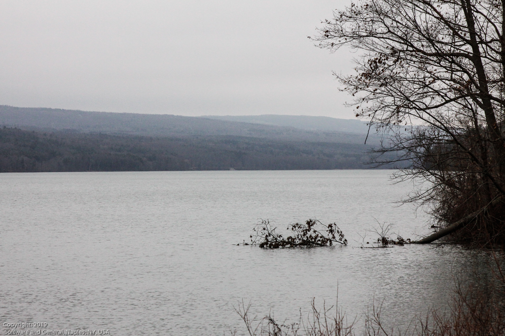
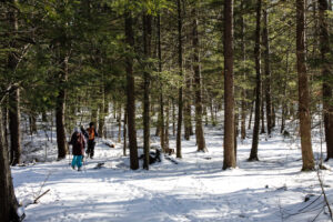
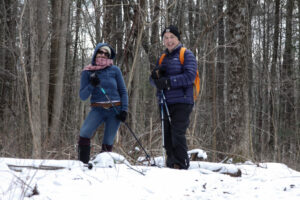
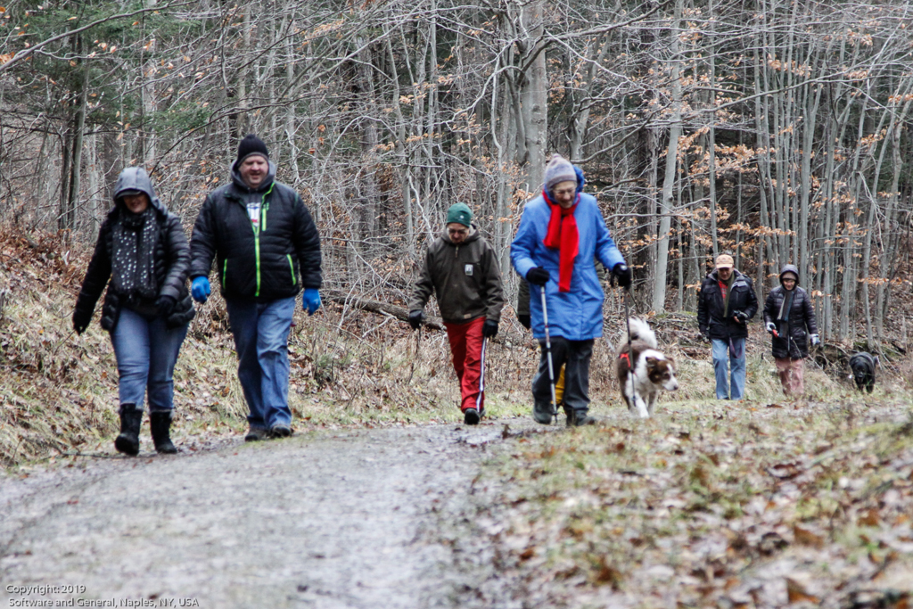
Start the New Year the way you mean to go on – come for an inspiring hike along Canadice Lake! This is an easy, 1.8-mile each way hike along the shore of the lake; the trail is level and well-maintained and the lake views are lovely. For most hikers it will be a walk along the lake for an hour or so, and then back the same way; more enthusiastic hikers can veer off on Rob’s Trail that leads over the ridge and down to Hemlock Lake – this is a moderate to hard trail with several steep uphill and downhill sections. We’ll take a roll call the day of the hike if anyone wants to walk Rob’s Trail. We’ll arrange for transport back for those who only want to walk one way. Dress appropriately for the weather, carry water and some energy food, and carry a walking pole if it helps. Leashed pets are welcome.

This is not a “routine” Sunday hike – it’s special because the hike is promoted by the NYS DEC, and is part of a larger program of First Day Hikes to encourage people to get out and experience the magnificent Sate of New York that they live in. The DECState Parks, and the Canal Corporation invite New Yorkers to kick off 2023 by participating in one of the many hikes being held at state parks, historic sites, wildlife areas, trails, and public lands across the Empire State. All hikers will leave with a memento of the hike and will be eligible to win an Empire Pass the allows entry to most state parks across the state.

Please note that the First Day hike this year is at 2:00pm Monday, giving everyone a little more time to get over the night before.

The Meet-Up Location

All First Day hikers should meet at the parking area off Purcell Hill Road, Town of Canadice, Ontario County. Google Maps (leaves this website) Click here for directions.

The Social

There won’t be an organized social on this hike.

Posted on by Posted on by

Honeoye Lakeview Hike

This Sunday we will explore the woods and fields overlooking Honeoye Lake on the west side, followed by a dish-to-pass social at the Affolter farm.  Meet at 5422 County Road 37, about 2 miles south of Route 20A and 2 miles north of Canadice Town Hall.  Park in the drive or on the road shoulder. Our hikes will take us up the ridge, through wooded trails and along field rims.  Get a scenic vista of the whole expanse of Honeoye Lake, from a new and different perspective. There is a significant climb at the start which you can take at your own speed, but after that it’s pretty level for the most part. 

There will be a longer hike for the Climbers of 3 to 4 miles, and a shorter hike for the Tourists-Naturalists of 2 to 3 miles.  Hiking conditions should be good, cloudy with temperatures in the low 40s, but layers are advised, and be prepared for mud.  

Bring your favorite goodies along for an indoor dish-to-pass social at the hike starting point. 

Directions:  From Springwater, take Route 15A north 2.7 miles to a right on Johnson Hill Road.  In 1.1 miles, make a left on County Road 37. Continue northeast for 6.7 miles, including a turn to the left after Canadice Town Hall.  #5422 will be on your left, just before you leave the town of Canadice and about a half mile after you pass Hayward Hill Road and Jersey Hill Road. 

From Honeoye/Hemlock:  Take Route 20A east from Hemlock or west from Honeoye to the intersection with County Road 37. Go south approximately 1.9 miles. #5422 will be on the right, just past the Entering Town of Canadice sign. 

Posted on by

The Finger Lakes Trail at Mitchellsville Gorge

A hike through the Mitchellsville Gorge.

The hike on Sunday 10th March 2024 will follow a section of the main path of the Finger Lakes Trail in Urbana, just south of Hammondsport. It’s an easy hike of about 3.5 miles, and it follows the rim of a deep gully cut by the Mitchellsville Creek. This section slopes gently downhill from Mitchellsville Road  with just a few short steep sections. The northern two thirds passes through a dense hemlock wood, and the path is a soft bed of hemlock needles; there are views of the deep gully along the way. There are two ‘beauty spots’ along the route; about a third of the way from the top there’s a short side track that juts out over the gorge giving good views from a height, and about two thirds of the way down there is a pretty creek. Unfortunately, we can’t get too close to either spot; this section of the trail is on private land and we can’t wander off it. The gorge overlook is crumbling and is dangerous, and access to the creek is specifically denied by the land owner.

A hike through the Mitchellsville Gorge.

We will meet top of the gully on Mitchellsville Road  (42.404269 , -77.290893)  at 2:00pm and walk down the gully to the Pleasant Valley Inn in Hammondsport. There’s and FLT trail sign at the side of the road and a broad mown passage through a farmer’s field to the trail head.


The Hike

This will be a one-way hike and we’ll arrange for cars a the hike’s end to ferry people back to Mitchellsville.

All hikers will start together at the top of the gorge on Mitchellsville Road.

The Climbers will hike all the way down the gorge to the parking lot across the road from the Pleasant Valley Inn in Hammondsport. Please look for the trail markers at the bottom of the gorge; it’s easy to miss them and wander into the private vineyard.

The Tourists and Naturalists will start at the meeting point and walk as far as they are comfortable with and then turn back.


The Social

We’ll have a social at the the Mountain View Inn at 34 Main Street., Arlanta.


Directions

From Honeoye: Follow W Hollow Rd (County Road 36) to Naples. Turn Right at the Middletown Tavern on to Rt. 21 South, and then bear left on to NY-53 South. Continue for 17.1 miles through Prattsburg and then turn left to County Rd 13/Mitchellsville Rd in Wheeler. Continue along Mitchellsville Road until you see the white church in Mitchellsville and then continue about a mile or so, as far as the FLT trail sign.

From Naples: Take NY-21 South, and then bear left on to NY-53 South. Continue for 17.1 miles through Prattsburg and then turn left to County Rd 13/Mitchellsville Rd in Wheeler.  Continue along Mitchellsville Road until you see the white church in Mitchellsville and then continue about a mile or so, as far as the FLT trail sign.

From Rochester: Take I-390 south until exit 37 (Rt. 53), then follow NY53 north to State Route 13 (Moitchellsville Road). Turn right to County Rd 13/Mitchellsville Rd in Wheeler and then continue along Mitchellsville Road until you see the white church in Mitchellsville.  Continue about a mile as far as the FLT trail sign

Please park on just one side of the road. It’s a single lane each way road and is fairly well used.