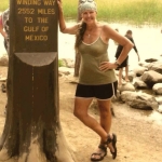
It occurred to me this past week that Springwater Trails could expand the development of our original plan for a 32 mile continuous trail around Springwater. While being a trail angel for a long distance hiker named Chosen, I had the opportunity to help navigate her trek through the area of Swain on the Finger Lakes Trail and Franklinville on the North Country Trail. Due to hunting season, obstacles and closures on the trail, I followed her by car around the back roads of Allegany and Cattaraugus County, enabling her to complete a day distance trip of 22 miles on state forest trails and dirt or paved roads without carrying her full backpack. It’s called “slackpacking,” a benefit that hikers have when they have a trail angel to provide support services.
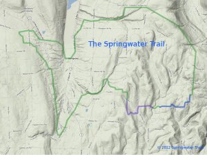 On the local level, this experience with a long distance hiker expanded my hike planning to taking a look at our original plan of a continuous 32 mile trail around Springwater. The idea of the trail around Springwater was developed a few years ago by an original committee called Springwater Parks and Trails. Using this background information, our president Mark designed a large scale map of where the trail could possibly be located. To date we have 4 trail areas in progress, 3 with landowners permission and one on state land.
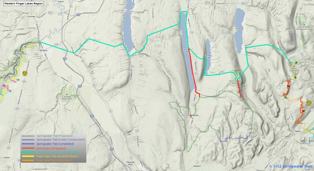 The proposed “master plan” in the northeast section of Springwater accesses Harriet Hollister State Park to the north in Canadice to the newly acquired state park property on Wetmore Road, following Town Line Road westward near the Nature Conservancy areas to a dirt road called Reynolds Gull Road. The trail would then drop unto Canadice Lake Road, hopefully accessing some private property someday and connect with the DEC Hemlock/Canadice State Forest at Johnson Hill. Once reaching the large parking lot Rt. 15A, hikers could continue hiking the south boat launch trail to Hemlock Lake, or access the Village of Springwater to the south to explore the western part of the town.
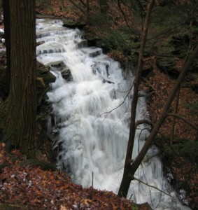
13 hikers this past Sunday traveled the proposed route, starting at 2000′ and dropping to 1000′. Two cars transported 10 hikers and two dogs to the top of Reynolds Gull Road while 3 hikers leisurely enjoyed hiking the Johnson Hill Trail, crossing the top of a dry waterfall. Long distance hikers completed 6 miles in 2 hours exactly. They picked up speed as they walked paved and dirt roads, accessing a DEC grassy trail off Johnson Hill Road which provided scenic views of fall trees, Hemlock Lake, steep gullies and waterfalls. Reynolds Gull Road alone is a beautiful road to walk and the waterfall on the Johnson Hill trail is spectacular most of the year, especially in the winter and spring.
After the hike we warmed ourselves by the campfire at Pati and Jim’s, where a delicious roasted ham was prepared by Jim, healthy meals by others, and even 3 desserts! Thanks go to Pati and Jim for hosting our social and to Chosen for her inspiration and education.

