Hike report- Harriet Hollister Spencer Recreation Area

IMG_3237

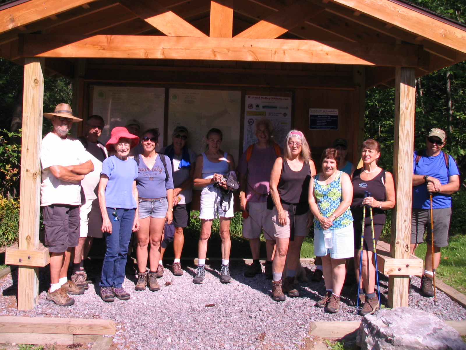
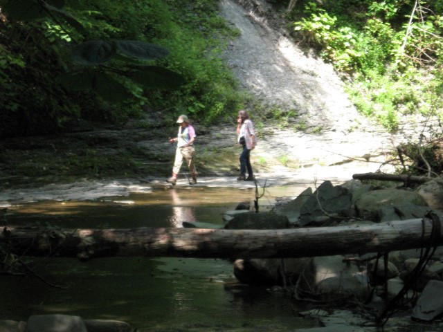
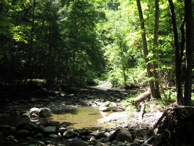
Here we are, loving the outdoors on Sunday afternoon.  Fourteen hikers took a grand tour of the park.  It was especially nice that we had the place to ourselves.  Normally on a weekend the place is full of mountain bikers, hikers, and picnickers.  Despite the heat, conditions were relatively cool due to the higher elevation and the extensive shade.

IMG_1038

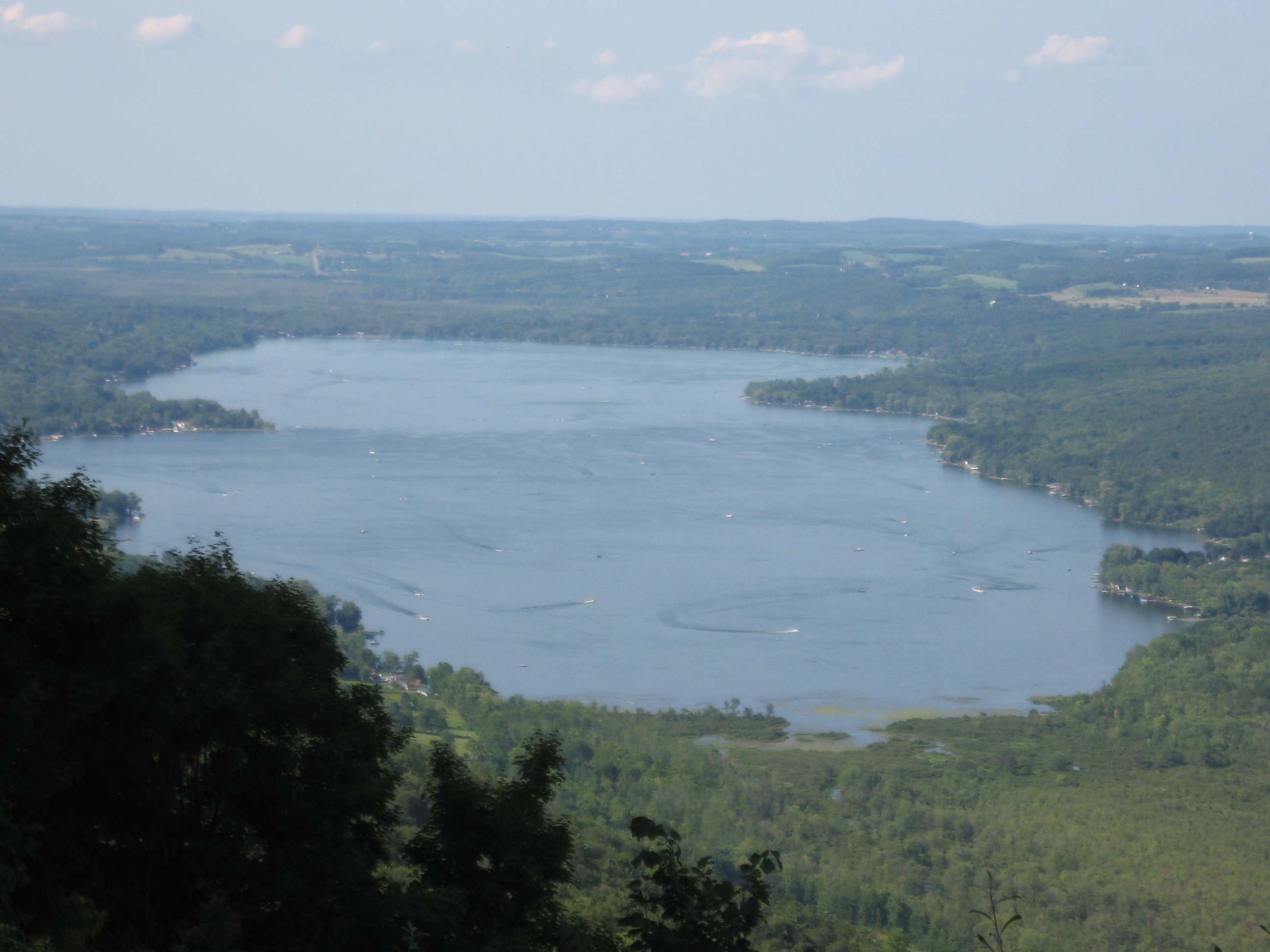
Char’s picture of Honeoye Lake. Click on the picture for a full size version showing the wakes of all the boats out on this glorious day.

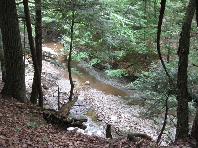
Climbers moved at a no nonsense pace around the park perimeter, traveling along Big Oak, Fox Run, Raccoon Run, Sidewinder, Blue Spruce, Chalet Road, and Ruthie’s Run, plus a few others.  I think everyone got their money’s worth of hills.  The view at the Overlook was a big hit, with many photos taken.
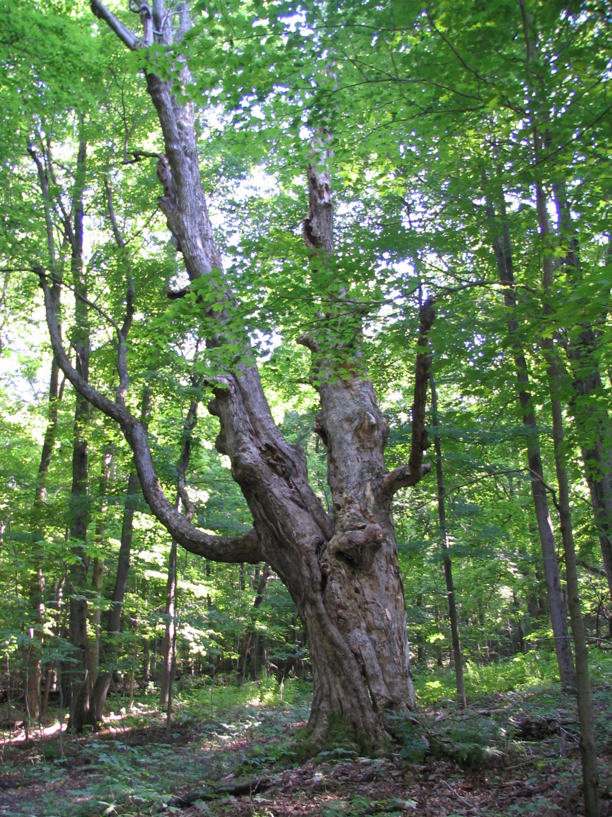
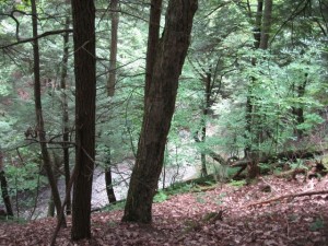
IMG_3238

The Big Oak

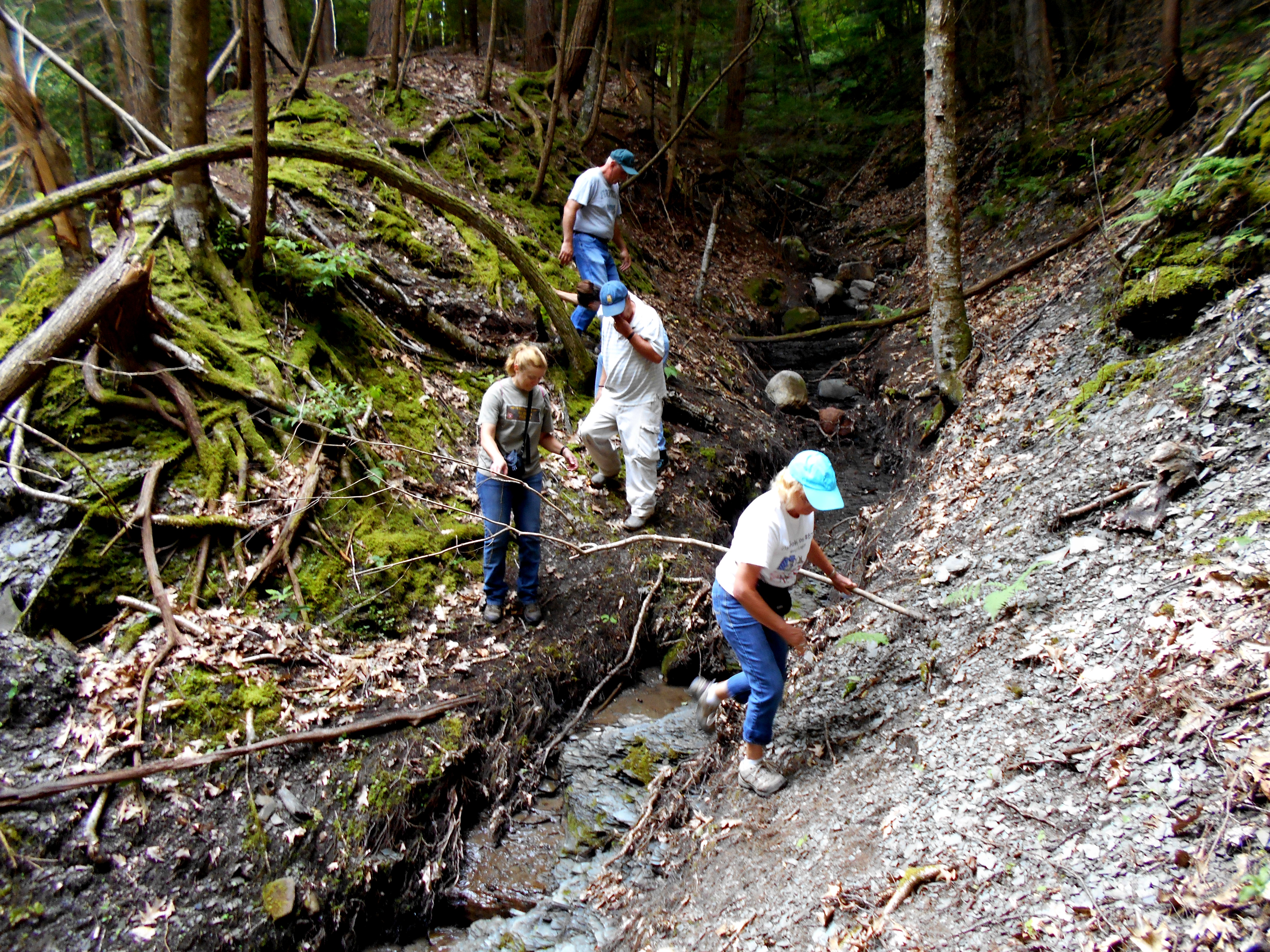
Tourists, led by Mark, set off on a less ambitious route, but met some altitude challenges along the way.  The trails at the park have some signage but are not blazed, which can cause some confusion for the uninitiated hiker. The maps are marginally helpful.  Being the seasoned hikers that they are,  the tourists successfully navigated the maze of ski and bike trails and arrived unscathed, back at the parking lot, thanks to Mark’s exceptional sense of direction.

IMG_3240

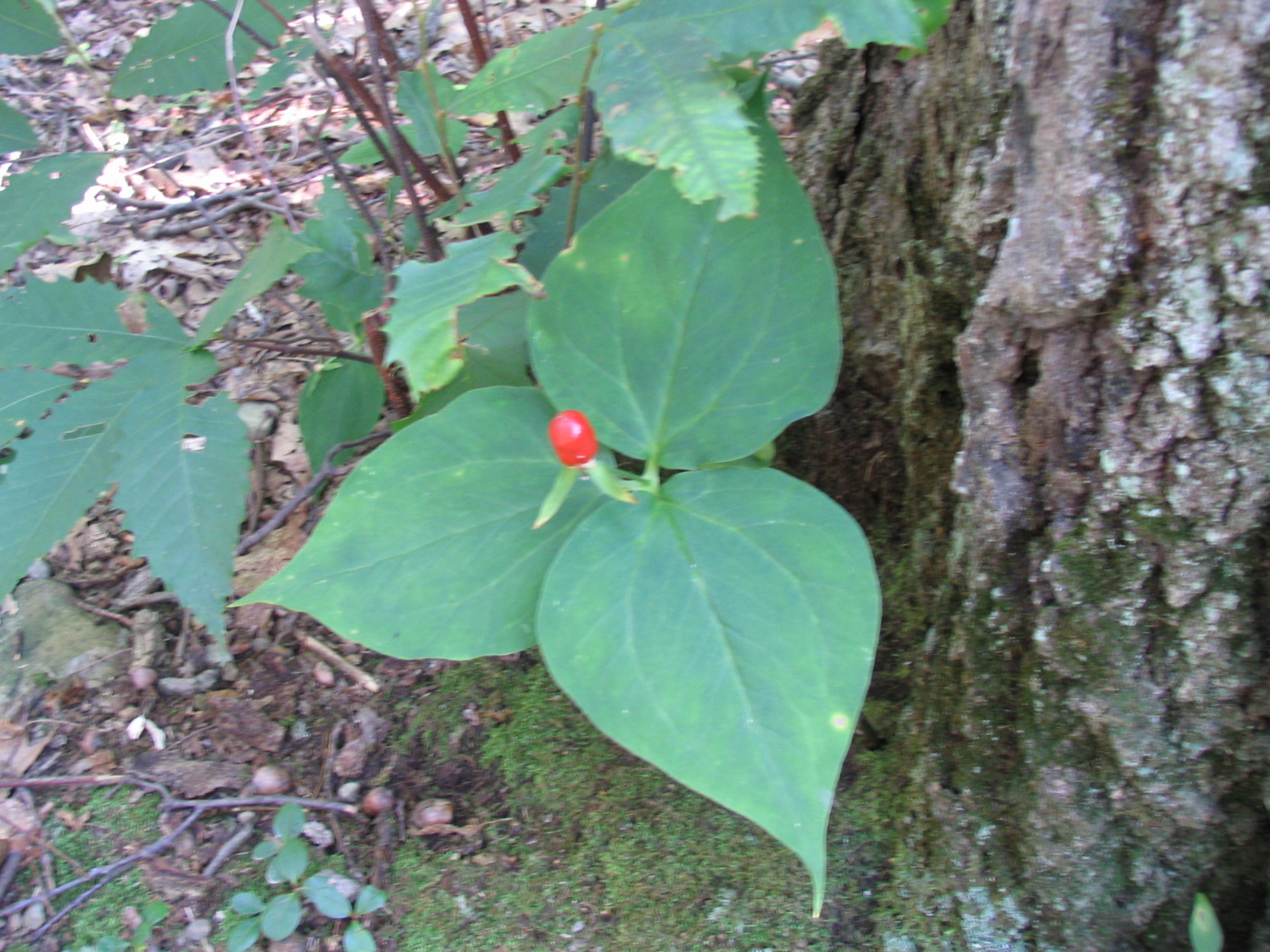
The seed/fruit of a purple trillium.

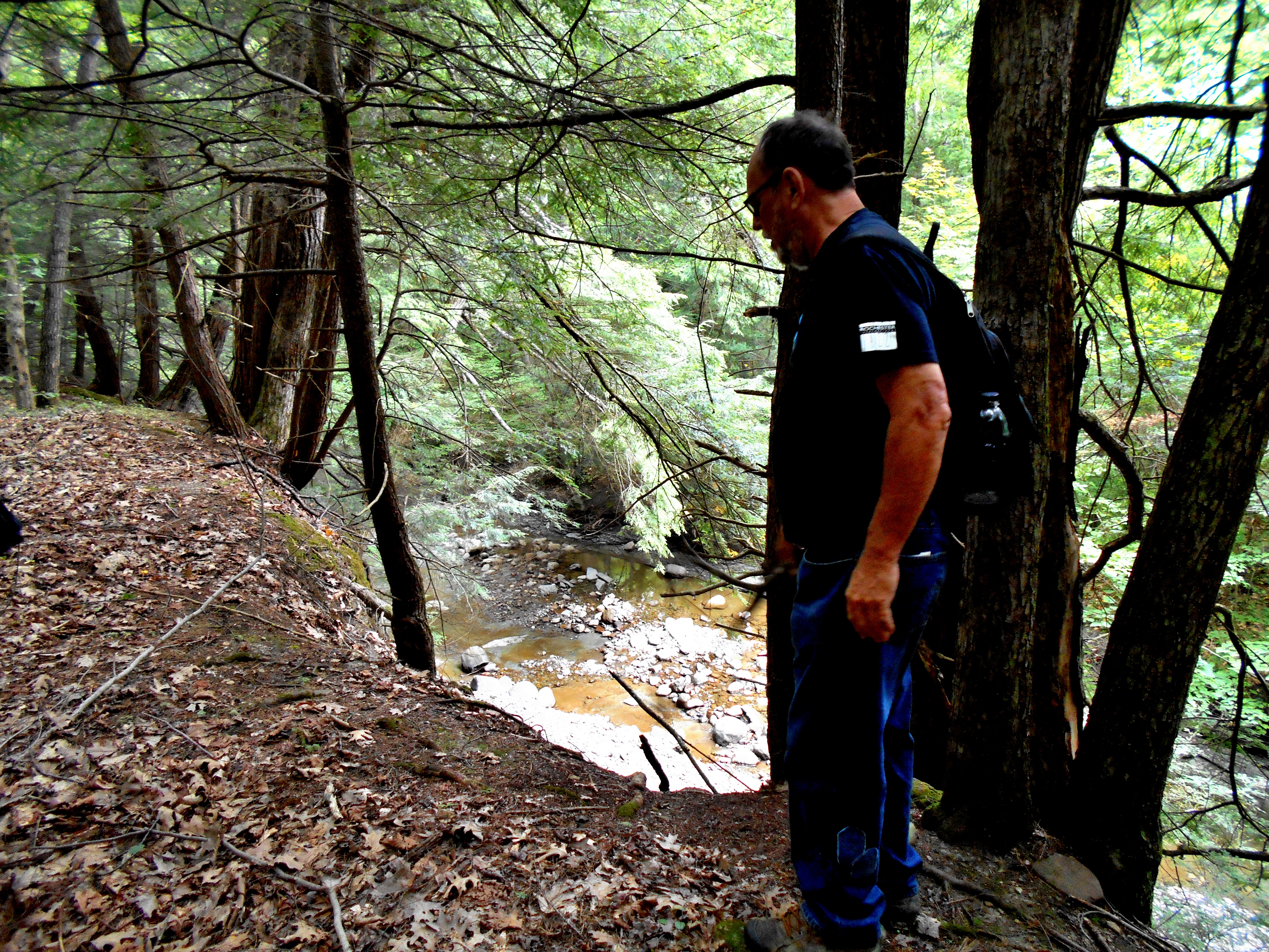
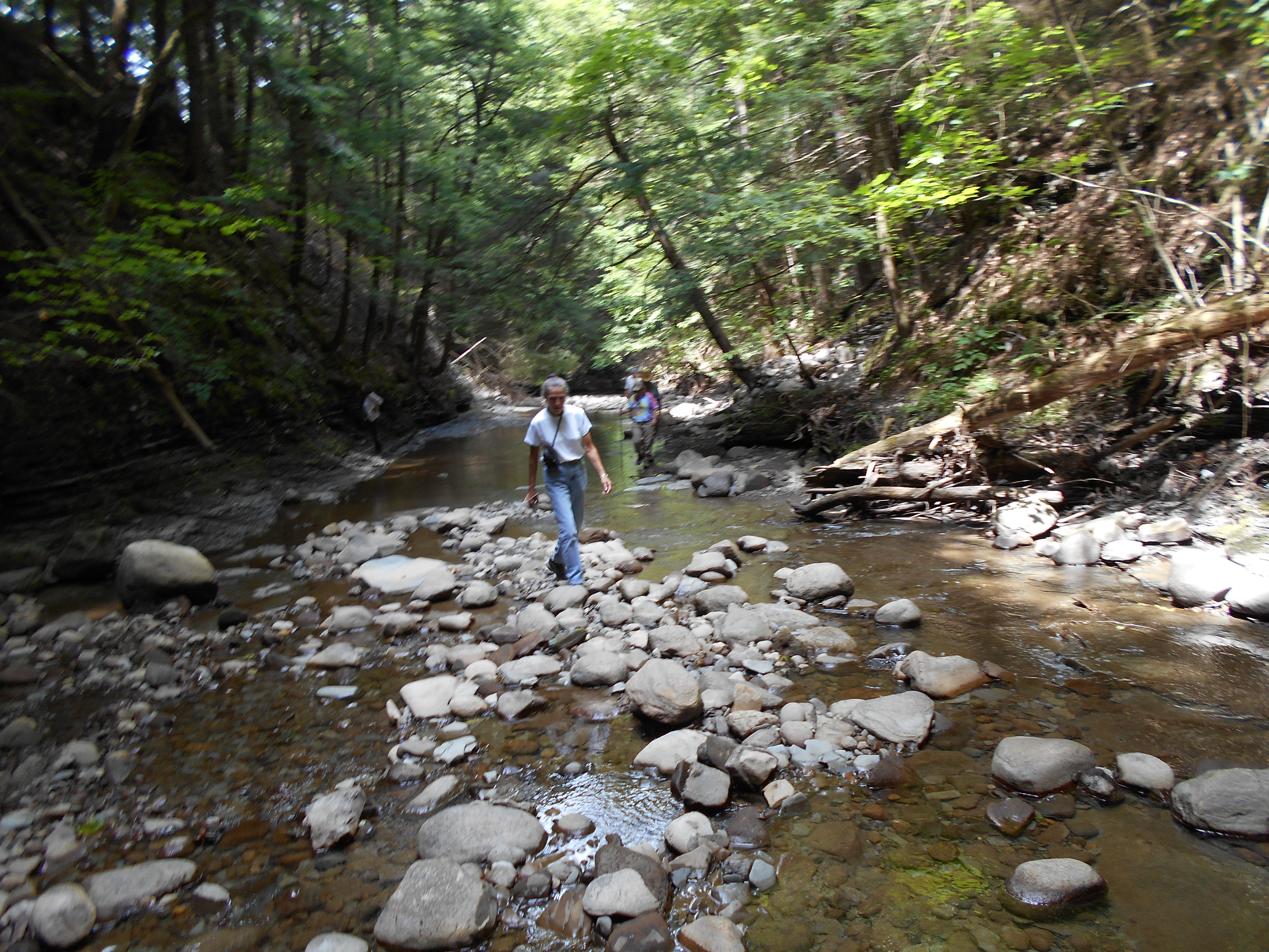
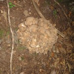
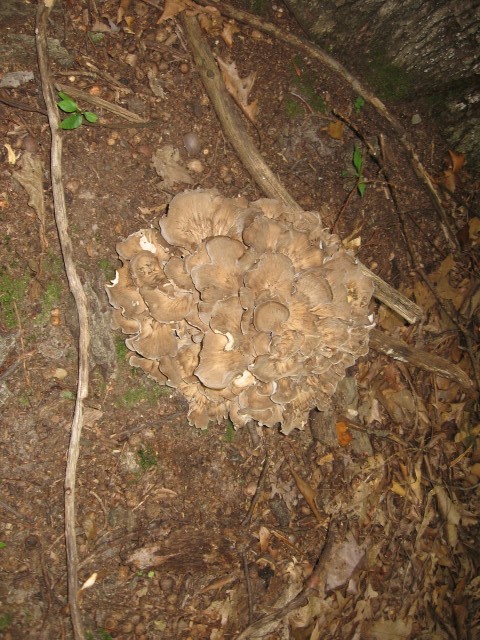
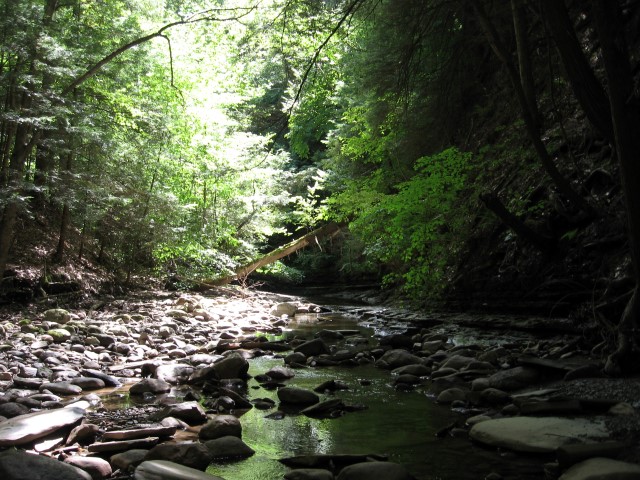
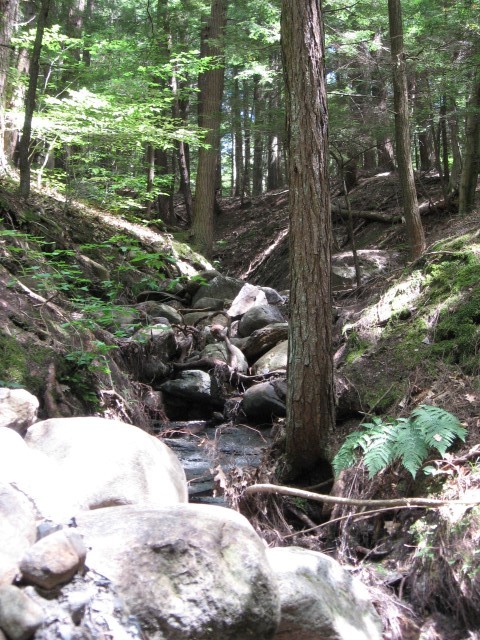
As always, along the trail conversation was stimulating and full of questions.  We discussed the history/name sake of the park.  Mushrooms and plants were frequent topics.  Here is one we wondered about.

We are fortunate to have such a glorious playground in our back yard.  Hopefully, this excursion will encourage more folks to explore  these trails on their own.
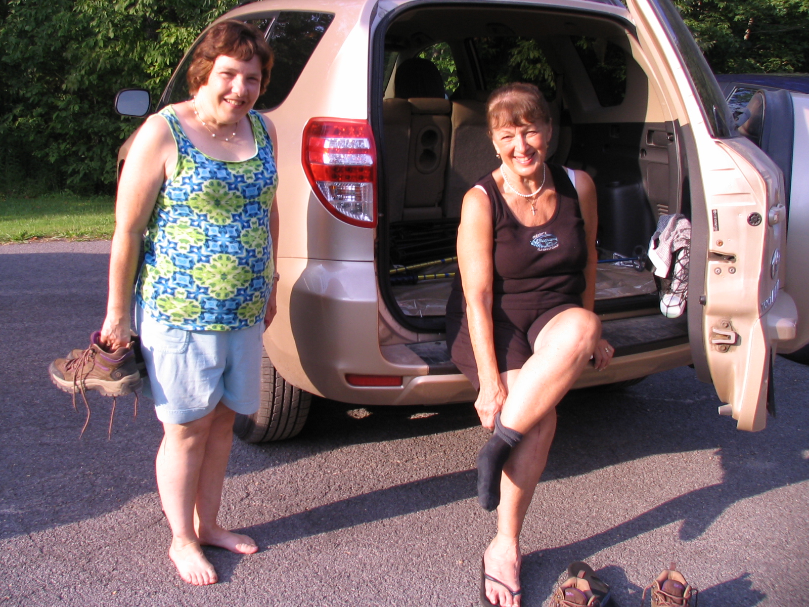
IMG_3241

Post hike relief.

The social following the hike was at the Valley Inn in Honeoye – the first time many of us have been there in many years.  A delightful way to complete the day.

Harriet Hollister Spencer State Recreation Area – Directions

GPS Warning: Harriet Hollister Spencer Park is located on a dirt road.  South of the park, this road (Canadice Hill Rd) often has bad ruts.  Therefore, these directions avoid that section of the road.  If you choose to follow your GPS routing, please drive slowly over the ruts.

FROM HONEOYE:  From 20A turn south onto County Route 37 and go about 4 miles to the County Route 37/Canadice Hill Road split.  Continue south on Canadice Hill Road about 3 miles.  Harriett Hollister Spencer Park will be on your left.

FROM SPRINGWATER:  Take Route 15A north out of Springwater for one mile and turn right on Wheaton Hill Road. Take the 1st left onto Canadice Rd.  Turn right to stay on Canadice Rd. At the county line continue onto Co Rd 37 for 2.0 miles. Turn right onto Luckenbach Hill Rd. At the top, turn left onto Ross Rd.  At the stop sign, take a sharp right onto Canadice Hill Rd. Harriett Hollister Spencer Park will be on your left.

FROM NAPLES: From Rt 21 next to Middletown Tavern, take Clark St west to become Co Rd 36. After about 12.2 miles, turn left onto Jersey Hill Rd. At the top (0.7mi) turn left onto Co Rd 37.  At 1.1 miles, continue straight past the white church in Canadice onto Canadice Hill Rd. In 2.4 miles, Ross Rd bears to the right, but you want to continue straight on Canadice Hill Rd for another 0.9 miles.  The park is on the left.

Bushwacking the Canadice Outlet – the Secluded Forest, Gully and Water

Perspective from Pam's porchIMG_1025 (Small)SpringwaterTrails and the New York State Forest Owners Association, Western Chapter (NYFOA) joined together on August 8, 2015 for a “woods walk” into the Canadice Outlet, a section of forested land in the DEC Hemlock/Canadice State Forest. Thanks go out to the DEC and the City of Rochester for allowing special permission to our organizations to travel from a historical abandoned road behind private property on Bald Hill to the restricted area of the “curved dam” on RT. 15A.

The reward was an immediate steep ascent

The reward was an immediate steep ascent

Group has split into two at this point.  Marty's near the edge!IMG_1023 (Small)Following the ridge of the steep gully with views of the Canadice Outlet Creek below, 4 leaders, Peter Muench, Pam Masterson, Ellen Folts , and Rick Osieki, educated hikers on the diversity of the forest  as well as the history of an old milling village called Dixon Hollow and the development of the Canadice Outlet dams by the City of Rochester. Remains of an abandoned road, sawmill, grist mill and bridge which once spanned the outlet were identified and the curved dam on Rt. 15A was viewed from the back and front. A variety of mushrooms species (including a nice hen in the woods), jack in the pupits, red and white dolls eyes, fringed polygala and bloodroot were pointed out by Ellen Folts and Georgia Binder.   Peter Muench educated hikers regarding the differences in the oak trees along with enjoying the size and beauty of the Hemlock pines.

Water shoes made the creek walk easier
A separate advanced group, led by Bill Cooke, traveled back through the creek bed area, crossing the low water level creek at various locations. This creek walk is not possible other times of the year as water levels can change drastically due to spring thaw or storms which turn the creek into a “raging river” which historically powered the old mills located along the creek. Viewing the forest above from the bottom of a gully provided a different perspective to explorers.

Almost back to the trail to Pam'sIMG_1021 (Small)
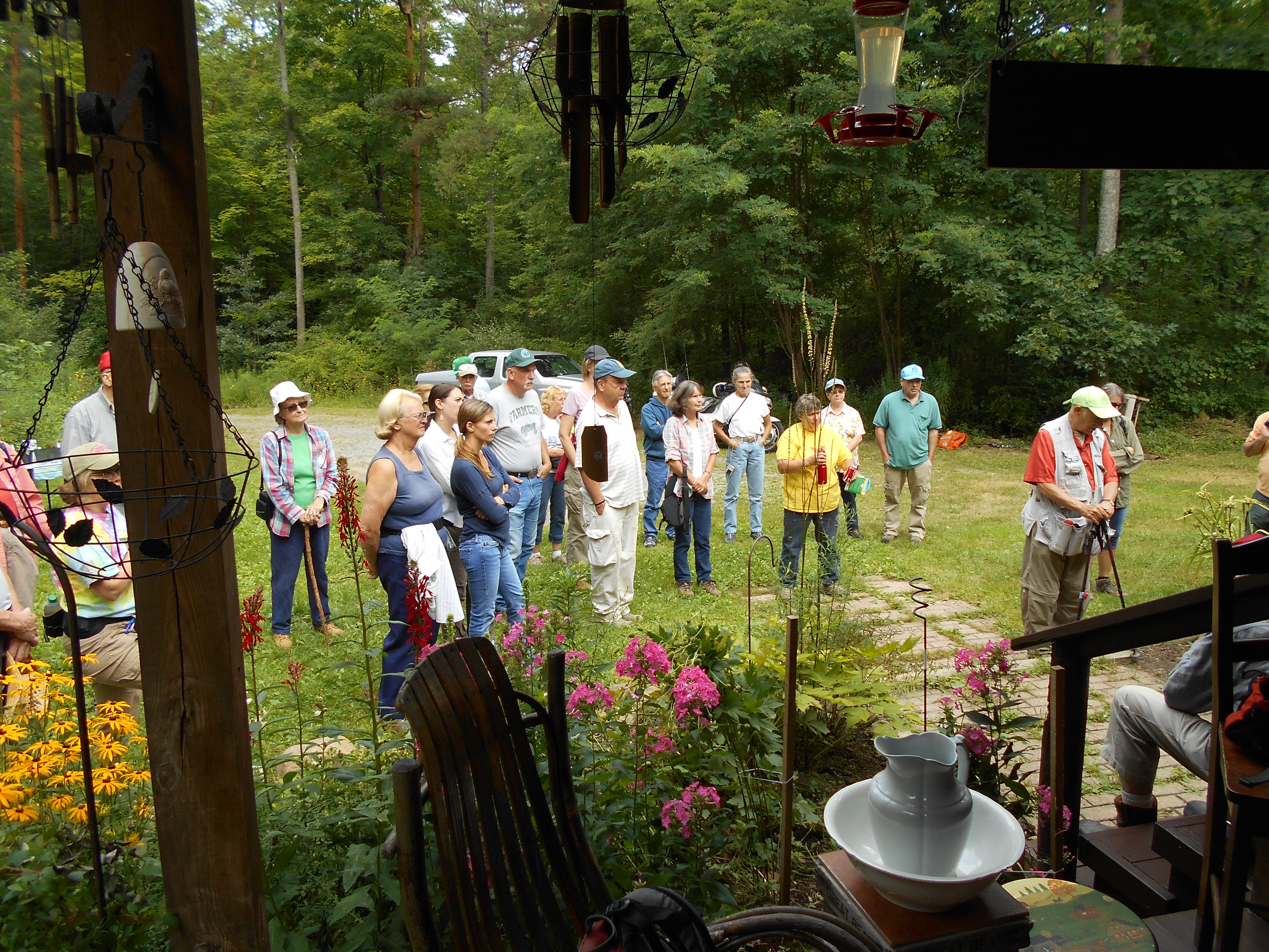
Hikers enjoyed an after hike social which included everything from fresh summer vegetables, salads and hot dogs with homemade condiments to homemade pies and desserts.  Rick provided information regarding his website on Hemlock and Canadice Lakes and foresters shared the beauty of what Ellen identified as a “ecological extravaganza!”