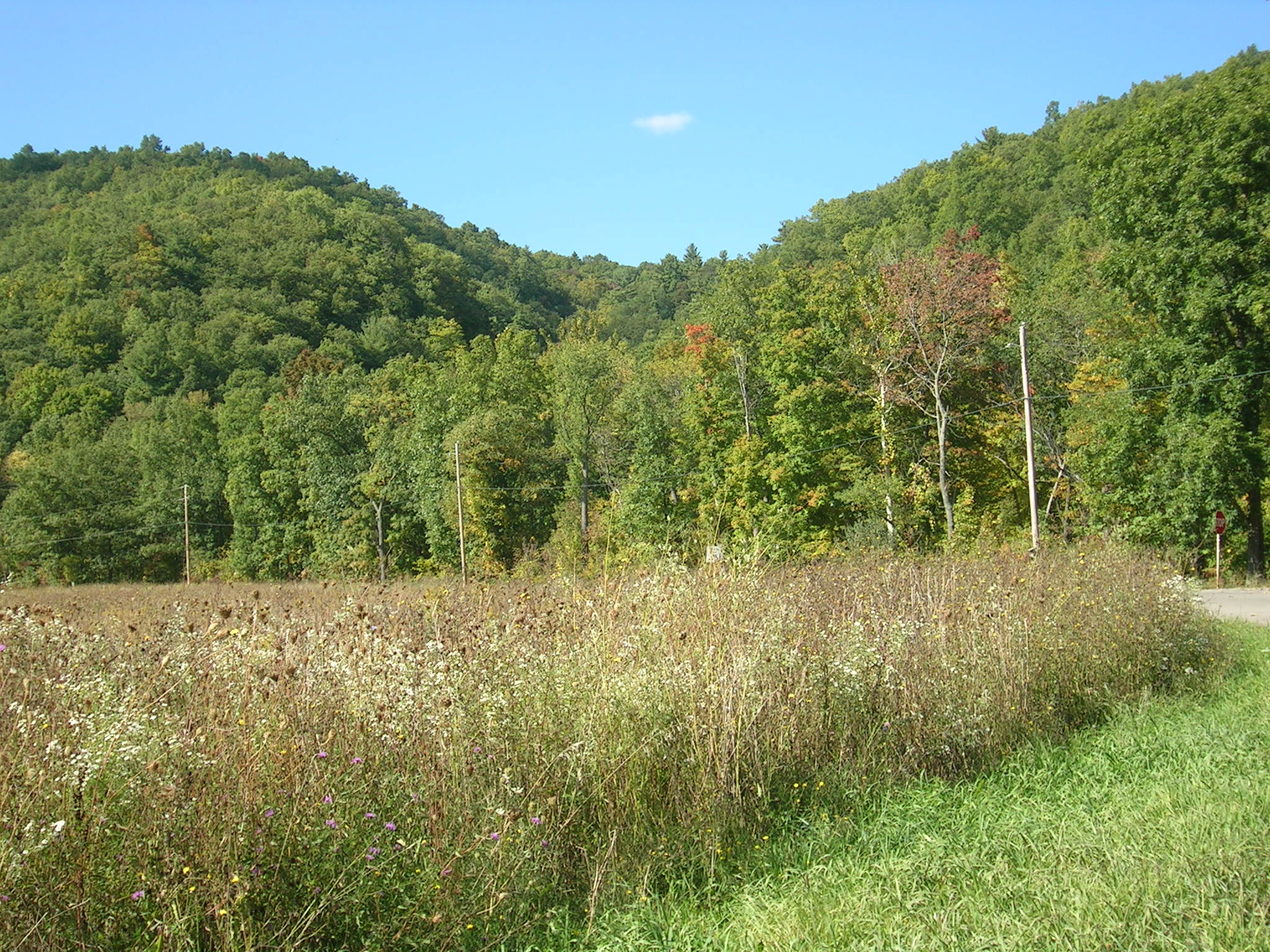
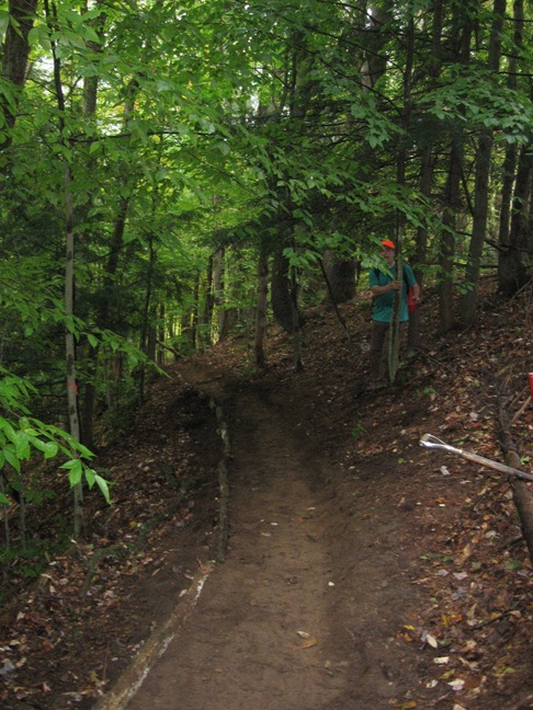
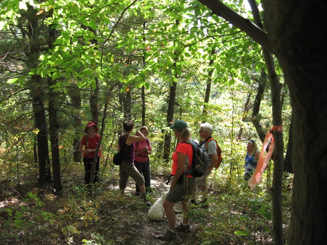
Clark Gully Sunnyside/South Hill Hi Tor Hike Report

IMG_0716W

journey up the hill

With blue skies, abundant sunshine, and temperatures hovering around 80 degrees on this early autumn day, Sunday, 14 people and four dogs climbed to the top of Clark Gully, beginning from Sunnyside Road. Waterfalls had slowed to light trickles and the gully floor had scant hydration, but the views of the surrounding hills were exquisite. About three-quarters of the way up, however, a different kind of adventure began.

IMG_0722W

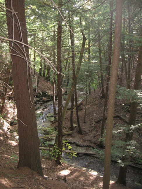
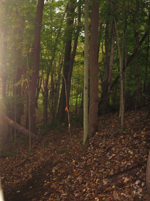
portion of winding gully

Newton, one of our canine hikers, took off in a flash, down the steep embankment to the gully. After getting no response from Newt, to his calls, Douglas quickly climbed down into the gully to begin a search which would eventually reunite the two in a place located in the middle section of Clark Gully. His search was up and down, back and forth, covering just about the entire gully area, focusing on places the two had previously been to.

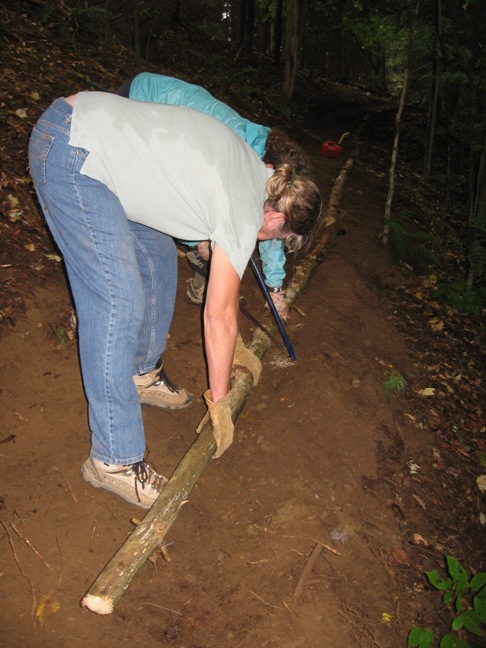
area, down below, where Newt was found

Newt was finally located down a steep embankment located between two large waterfalls, where most hikers dare not to tread, and, perhaps that may now include Newt, as well. Luckily for Newt, his owner works for an area fire department and is well-trained in rescue as well as endurance. Upon locating his dog, Douglas climbed up the left then down the right side of a ridge, then was able to coax Newt up the right side, then carried him on his shoulders for a while, back to his car. Newt survived the journey with a sore right front leg but, luckily, nothing worse. Apparently, Newt gets bored if his fellow hikers are going too slowly, and since the two have hiked most of this area many times before, he went off on his own. His owner said Newt preferred the stream/gully hike and just didn’t want to wait for us slow-pokes…so a doozy of a hike for both of them and a happy ending to boot.
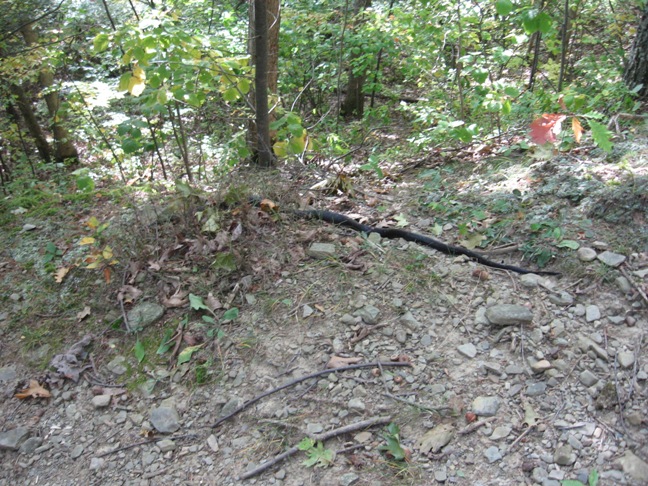
IMG_0727w

black snake

Meanwhile, back on the trail, the rest of us came to rest after an exhilarating (or exhausting – depending on one’s perspective) climb. We had a nice campfire with our social, thanks to Linda, who found some nearby branches to keep the fire fed. Bob, Char and I hiked up to the South Hill parking lot to get food from the cars and on the way saw a large – about 3 foot long – black snake.

IMG_0719W

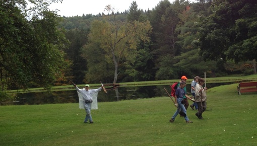
Mark, Pam and Mac taking in the view of Naples hills

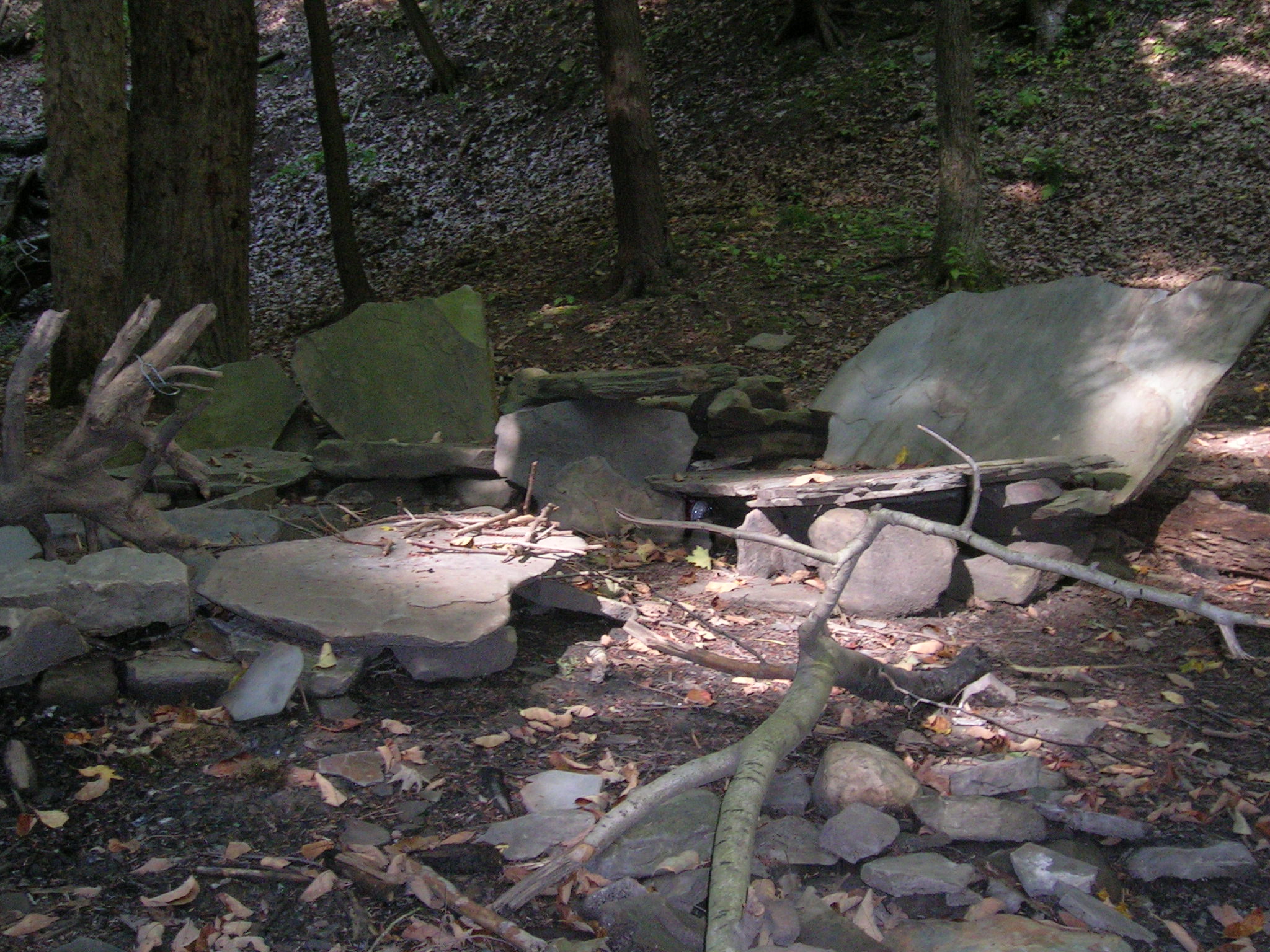
One of two women, walking near us, that spotted it, mentioned that she’d seen one about 6 feet long, earlier, in the gully…hmm, joining us for the social, perhaps? We then ventured back, meeting creek-walkers Pam and Mark on the way. By that time, sitting down on the cool stone chairs in the Flintstone living room felt wonderful and that glass of wine did, too.

Thanks to all who attended, braving the Naples Grape Festival traffic along the way.

Hi Tor Clark Gully Sunnyside

DSCN5686This week we will hike a portion of High Tor – Clark Gully – beginning from the Sunnyside Road parking lot. Known for its several intense waterfalls, Clark Gully runs from South Hill Road down to Sunnyside. While the best time to view the waterfalls is Spring, which is not now, the area also encompasses lovely forest overlooking breathtaking, scenic vistas of the surrounding hills and two large fields of autumn wildflowers. While scouting out the area during May and June, we were at the mercy of knats and mosquitos, which will not be the case now. Low-level water, currently, in the gully, makes it ideal for creek walking. For those of you who attended the Stid Hill Hike two weeks ago, this climb is shorter and somewhat less intense. We will all meet at the second Sunnyside Road parking lot, after turning onto Sunnyside from Rte 245. Based on interest and skill level of those who show up we will either divide into two groups – Climbers/Tourists and Naturalists – or there will just be one group, the Climbers/Tourists.DSCN5690 From Sunnyside the climb is uphill, about 40 minutes worth, then a very short descent to the gully. After this, Climbers/Tourists will continue on to do some creek walking to explore the gully, which winds around and around, viewing a few trickling falls and some mega boulders. Due to low water level, it is easier to walk the gully and explore much more of it than it was in the spring. DSCN5694We will then walk back, through the gully, to what I call the Flintstone’s living room – a grouping of stone seats encircling a campfire pit. Actually very comfortable – just the right slant on the backs to really relax. There is also a stone chair in the water but it’s a tad too chilly to sit there now. Our social, weather permitting, (extended forecast is currently calling for 80 degrees with 0% chance of rain) will be held here – bring what you would like to nosh on in your backpack – sandwich, salad, night-before’s leftovers, etc., and beverage of choice. The theme here is keep it simple – no dishes to pass, no donations, no cooking, no heavy tub. Campfire would add to the ambiance so I will bring matches and newspaper and we certainly can find some sticks nearby. DSCN5698There is a small parking area on South Hill Road where those who choose the Naturalist hike can park and have a short walk down to the gully in order to join us for the social – there is a short, steep climb back up from the gully, however. If weather is uncooperative we will meet at Middletown Tavern on Rte 21/Main Street & CR 36 in Naples for the social after the hike. Climbers/Tourists will walk up to South Hill and carpool back to their cars – we will decide how to arrange this before we begin the hike. Poles are recommended as are solid, treaded shoes – rocks in the gully can be slippery. Dogs are welcome on this hike. Naturalists will have several options – they can explore the lower gully and flat portion of the woods or if they desire a longer walk, the Middlesex rail trail, which runs parallel to the West River, is nearby at the first parking area on Sunnyside.

DSCN5688

NOTE: Amy points out that the Naples Grape Festival is this weekend.  You are encouraged to visit Naples Saturday or Sunday prior to the hike.  However, if the weather is good, expect heavy traffic in Naples on your way to the hike.  Due to the location of Naples, avoiding this traffic may not be possible.  (A detour south of Hi Tor will add 35 minutes to the trip from Wayland. The directions from Canandaigua avoid the center of Naples by taking Parrish Rd.  This may avoid some of the traffic).  Please leave extra time to get to the hike. Please refer to my comment below for alternate directions. D

Directions:

From Naples, take Rte 21 N to Rte 245, make right onto 245, go 3.9 miles, then left onto Sunnyside Road. Parking lot is on right-hand side.

From Wayland and Springwater, take Rte 15A south to Rte 21N, make left onto 21N, then follow directions from Naples.

From Honeoye, take CR36/West Lake Road south to Rte 21, make a left onto Rte 21/Main Street and follow directions for Naples.

From Canandaigua, take Rte 21S past Woodville, left onto Parrish Road (just past Monica’s Pies), left onto Rte 245, left onto Sunnyside.

From Rochester, take 490E to last Victor exit (right before Thruway). Take Rte 96 through village of Victor. Make right onto Maple Avenue/Rte 444. Take left onto Rtes 5/20, right onto Rte 64S. Follow 64 to left as it winds around, right after Bristol Springs, then dumps into Rte 21S. Continue on 21S through Woodville them make left onto Parrish Road, left onto Rte 245 and left onto Sunnyside.

Schribner Trail Building

image001We set up a big challenge for Sunday, with almost a mile of new trail to be cleared and two hundred feet of trail to be leveled. The entire trail was through the woods with very little undergrowth needing to be cleared.  However, there are always branches and small trees to be removed to make are clear trail  And we fully expected the portion that needed leveling to be littered with rocks and roots which could easily require more tools than we had.

image002Twelve volunteers came Sunday at 2:00.  The sun was out with lots of blue sky and we knew we could get lots done.  Two groups were formed – Linda’s Loppers ready to climb the hill and create a new trail, and Ricks Rakers who wanted to see what could be done to level the existing trail.

Before

Before

Rick’s Rakers got right to work. Rakers first removed the leaves and sticks and stones on the trail.  Then, using a small power cultivator, Rick loosened the ground. IMG_0708WStraight logs were found and placed on the down-hill side of the trail and then the soil was raked flat.

After

After

Now, some gravel or mulch will protect the soil and make a very pleasant trail.

Meanwhile the loppers headed toward the top of the hill to work on the new portion of the trail.  As they approached the new trail, the front came through and the rain started.  Rather than move farther from safety as the rain seemed to be strengthening, the loppers turned around to work on the older portion of the trail.  The rock bridge across the creek was improved and extended across the swampy area near the creek.  When the group connected with the rakers, they pitched right in to complete that task.

IMG_1355WSo, the trail leveling was very successful but the trail extension will need to wait for better weather.  Thanks to everyone who helped, the Springwater Trail continues to be developed. Gene says that’s worth celebrating!

Stid Hill Hike recap

Kudos to Dena on an exhilarating climb, full of adventure.  Her review of the hike was very colorful. She is quite a good reporter.  Congrats to all who braved the journey.