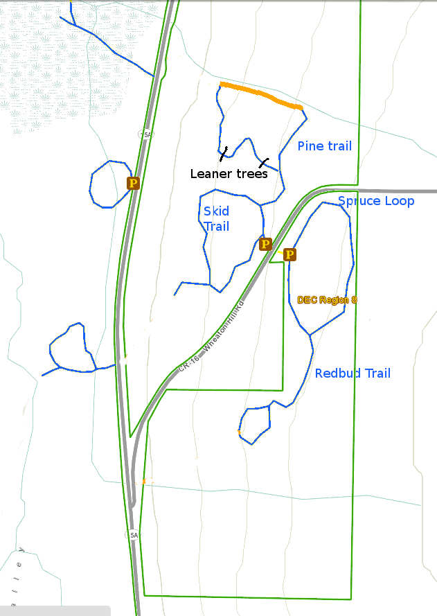
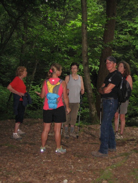
 Our hike on Sunday is a one way hike along the Old Erie Railroad and through new trails in the woods near the Cohocton River. We will meet Sunday, June 15, 4pm at our ending point and car pool to the start of our hike. For Tourists and Climbers, we will start out at the corner of Beecher Street and Route 36 in the hamlet of Atlanta (4 miles). The Naturalists and Tourists will start at Parks Road (2 miles).
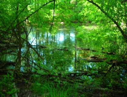
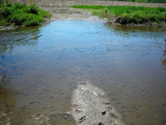
 Between Beecher Street and Parks Rd, the hike will follow a flat 1.4 mile trail owned by the Atlanta North Cohocton Club (ANC). This is part of a groomed flat 6.6 mile snowmobile trail to Wayland that was formerly the Erie Railroad line. Last weekend there was a 10’ section underwater filled with tadpoles but you are able to walk around this.
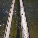
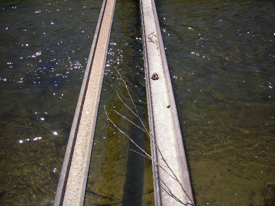
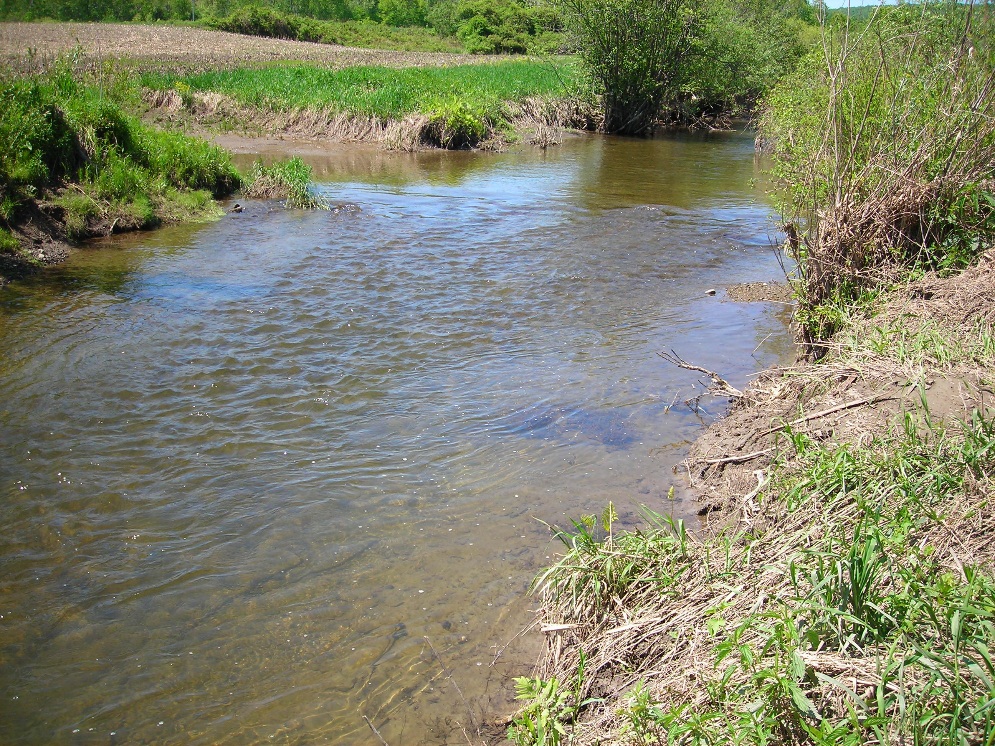
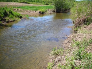
At around 1/2 mile past Parks Road we will detour right through private land to trails being built by Matt Deusenbery on the old Ouderkirk property. We will need to cross the Cohocton River and you will have two choices. 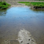 A chance to cool your feet by a short wade (left) through the river or for the more adventurous a walk on the rails (right) to the other side. So bring a pair of flip flops if you don’t want to fill your hiking boots as you walk through the ankle deep river.
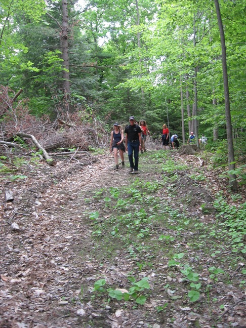
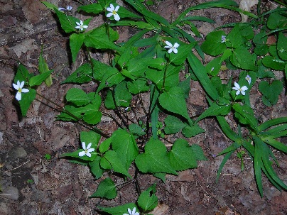
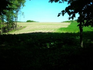
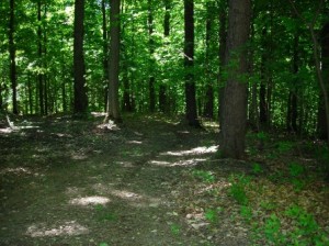 We will then take a walk around the hay field (hay is off so the stubble may be sharp on the legs) to get to a 1 mile stroll beneath the canopy of trees. Only little inclines here and there. You might even be lucky and see some wildlife or summer flowers which are in bloom. Since this is prime deer country you will want to bring the bug spray and make sure you are covered.
 We will end up back at our river crossing or under the shade trees to share a dish to pass. Cheryl will make sloppy joes. Pack your chairs, bug spray, fishing pole and license if you want to see if anything is biting.
DIRECTIONS
From Springwater: take Route 15S to Wayland for 4.9 mile. At the light in Wayland turn left onto Route 21N, go 3.6 miles. Turn right into the Adam’s homestead driveway (brown two story house with large two story barn, second house past Bowles Corner – GPS 42.562640, -77.522183). Continue down the driveway staying to the left of the garage down the farm lane till you get to the Cohocton River (yes keep going you will finally get to the river). Park anywhere along the lane leaving one side open to leave room for those who will drive to our starting point to get out.
 From Naples: take Route 21S to North Cohocton. Turn right to stay on 21S. Go 3 miles from N Cohocton. Turn left into the Adam’s homestead driveway (brown two story house with large two story barn, it’s the third house on the left past Parks Rd – GPS 42.562640, -77.522183). Continue down the driveway staying to the left of the garage down the farm lane till you get to the Cohocton River (yes keep going you will finally get to the river). Park anywhere along the lane leaving one side open to leave room for those who will drive to our starting point to get out.

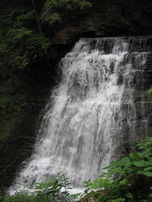
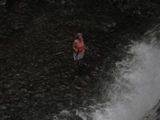
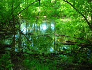
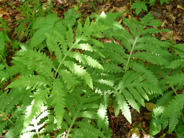 Lanning/Richards/Atlanta Garlinhouse Roads on the border of Livingston/Ontario/Steuben Counties, and extension into the unique Wolf Gull area in the Township of Naples. Access to this area is only by private road and permission from landowners. Following up on the suggestion of Mr. Shipman, local landowner, we were invited to return to the ponds where ferns were said to be 4 feet high and the aquatic life vibrant around the first of July. Boots and insect repellent is suggested.
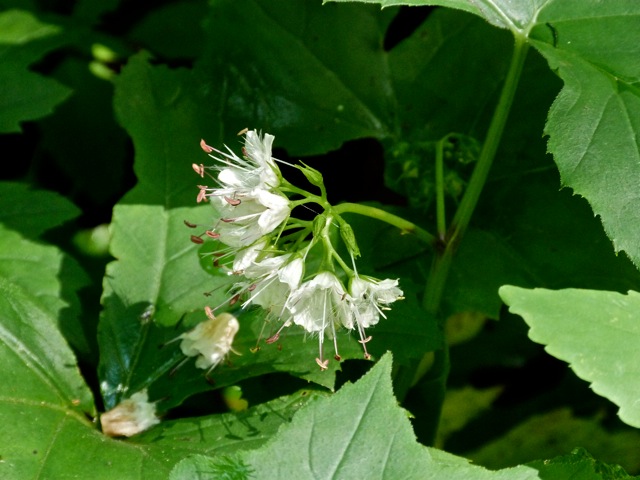 Ellen Folts from Amanda’s Garden will be our Naturalist leader, following a mostly flat private road through the gull area. Ellen will identify a variety of native perennial plants, various types of ferns and wetland plants, taking time to photograph and enjoy the unique environment.
 dropping 600′ into the Wolf Gull area to seek out many side roads, hunting cabins, creeks that flow both north and south, and the
 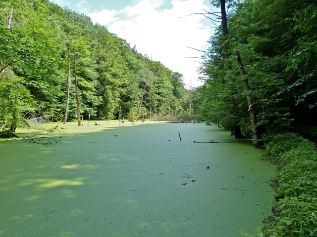 aquatic environment of the ponds.