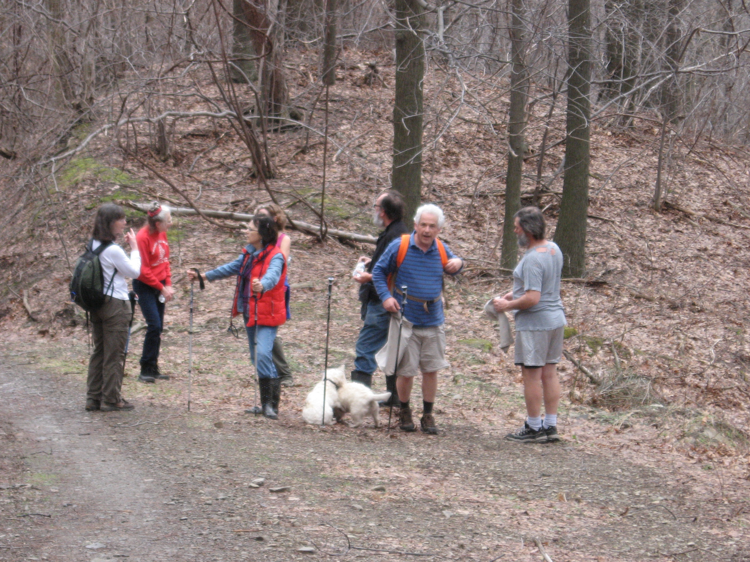
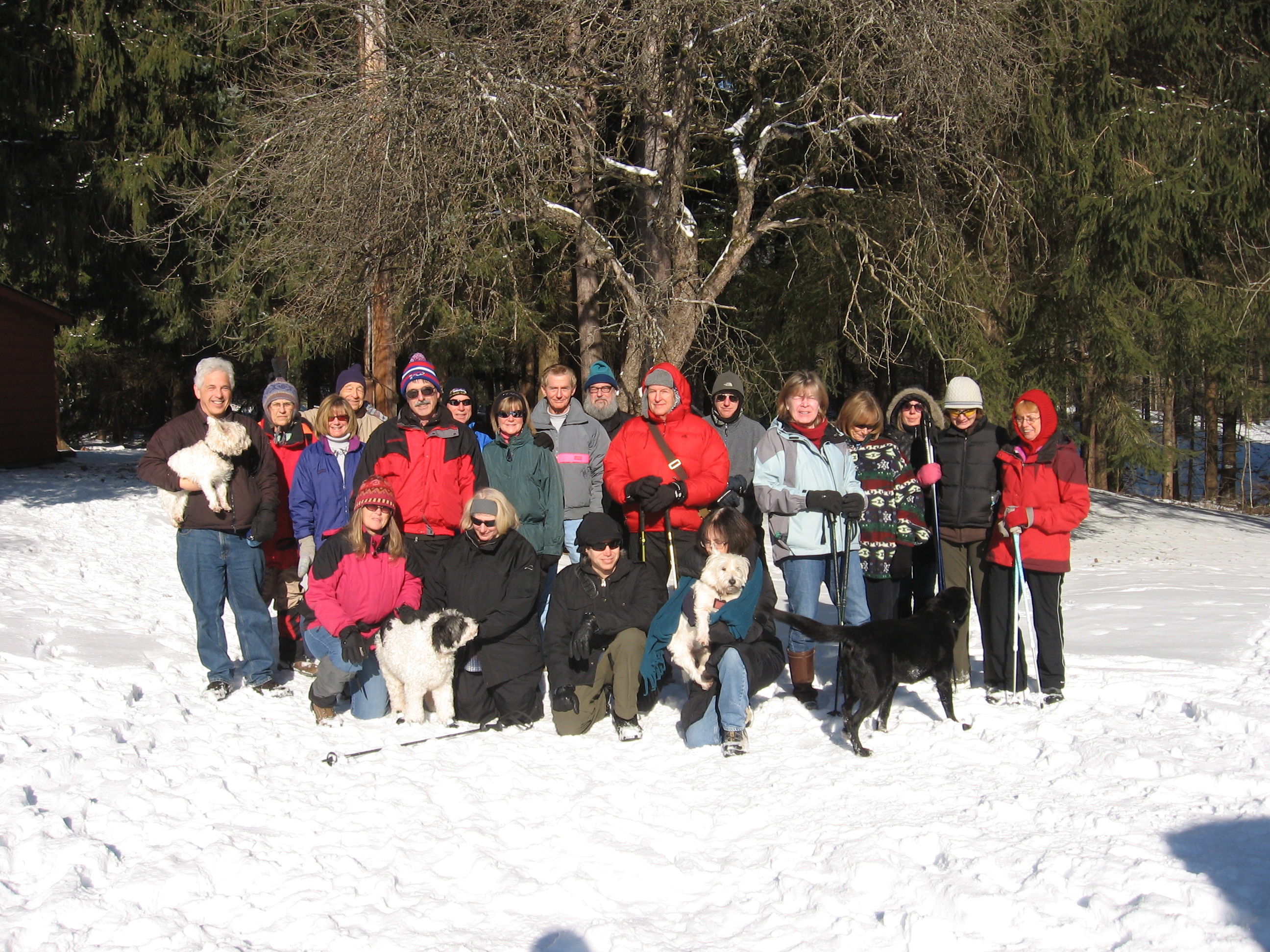
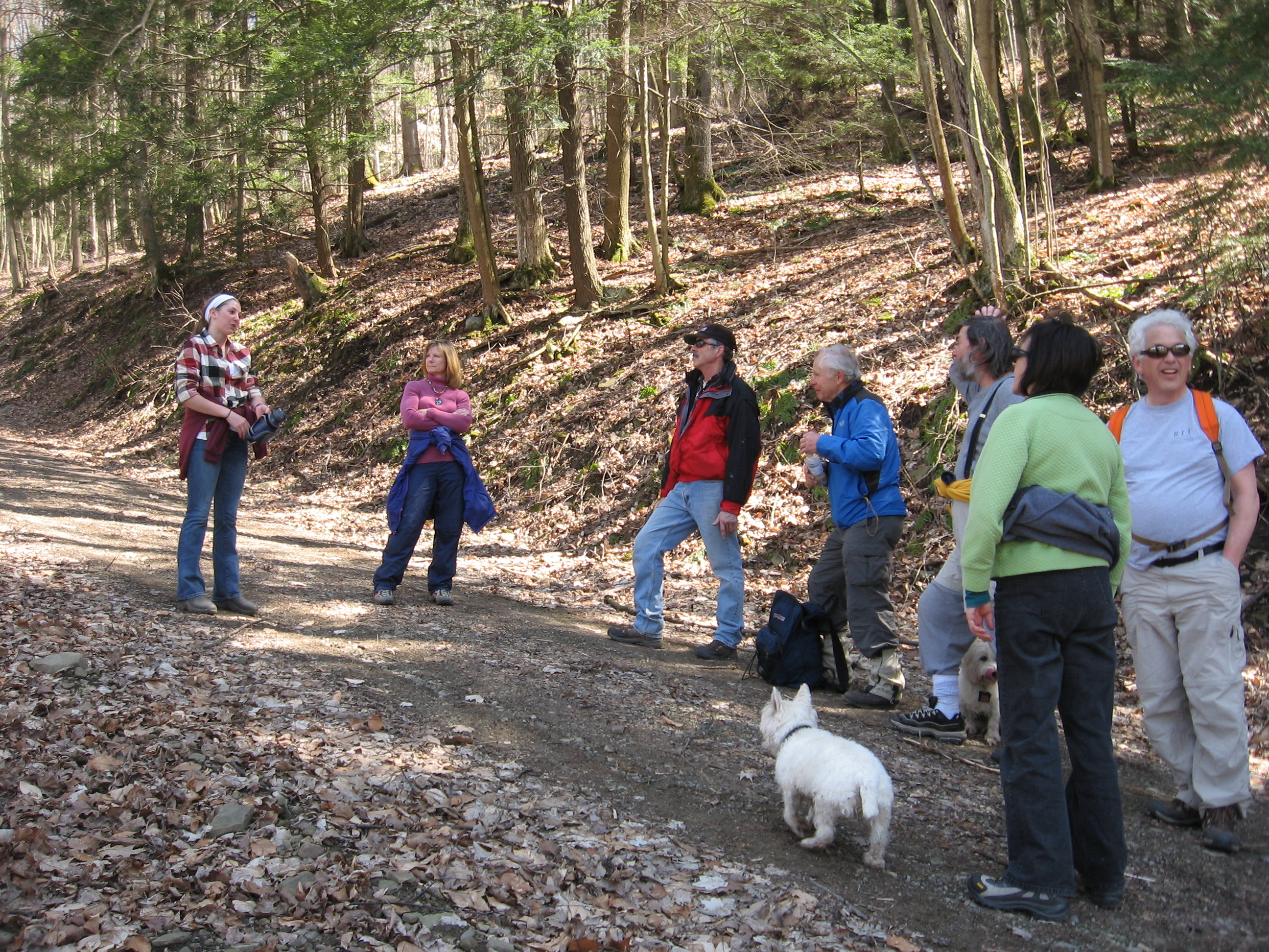
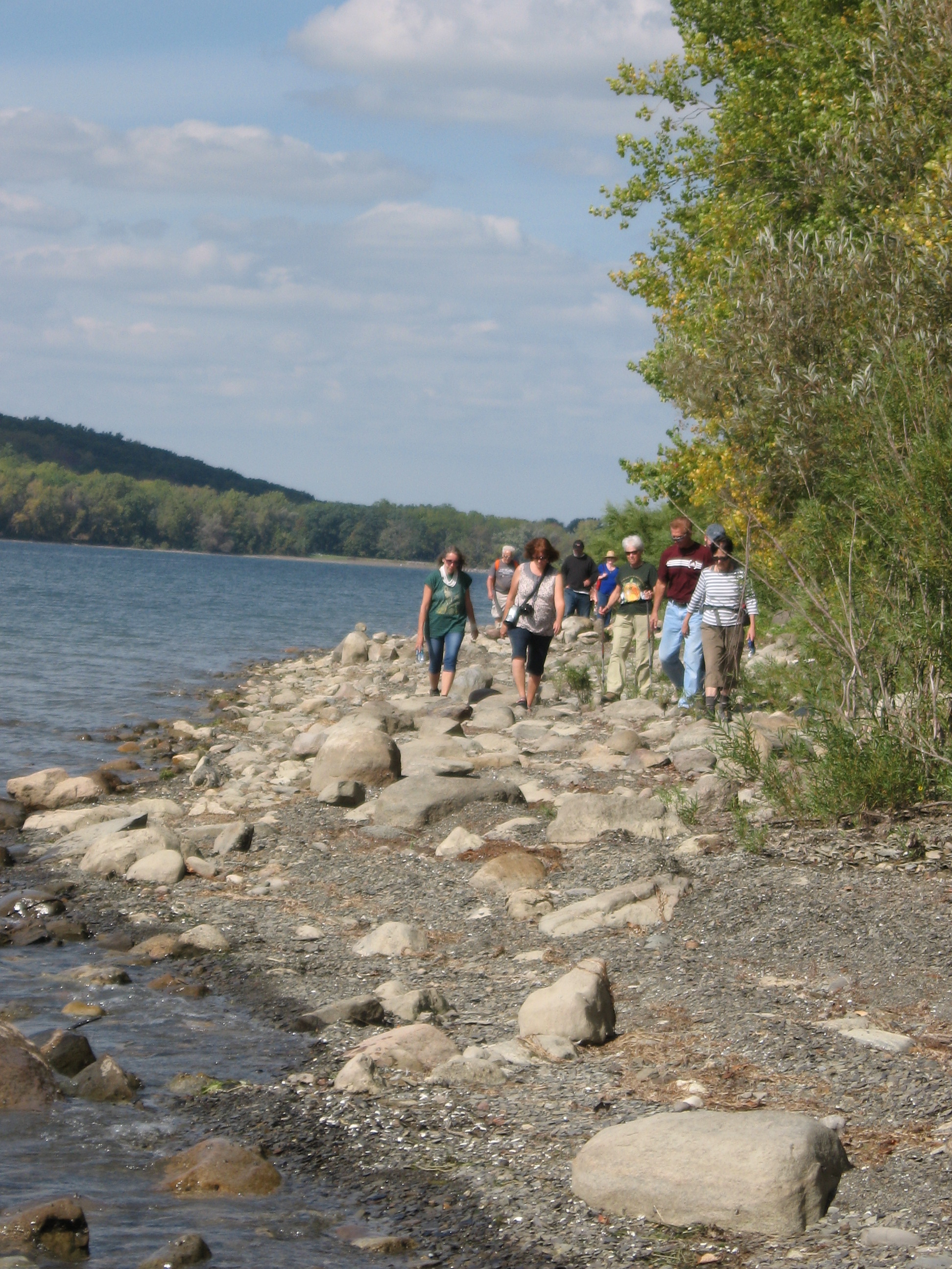
On many Sunday afternoons, you can find the hikers of Springwater Trails taking advantage of the beautiful Little Finger Lakes of Hemlock and Canadice. These two lakes and their surrounding water sheds provide a water supply for the City of Rochester, with the three reservoirs at Rush, Cobbs Hill and Highland Park receiving and then dispersing the water to areas of the City. We often traverse the hiking trails around the Hemlock & Canadice Lakes and watersheds and sometimes paddle them as well. 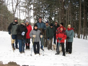 But this week we hiked a different water supply, the former Fairport Reservoirs which are now known as Boughton Park located in the Town of East Bloomfield & lying just south of the Town of Victor. This early winter hike was made possible by Don, Ebets, Pete and Naomi, all of whom have our thanks this Thanksgiving week!
Starting in the early/mid 1920s the Village of Fairport purchased land in the Town of East Bloomfield and progressed to create two reservoirs by damming up two creeks which created two finger shaped 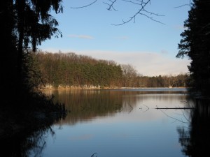 reservoirs for the purpose of supplying Fairport residents with their water needs, and in essence created a water shed area as well. Fast forward to 20+ years ago (~1989) and Fairport essentially decommissioned its municipal water supply reservoirs and started to utilize the Monroe County Water Authority as its water supply source.
 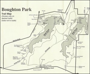 Fairport then looked to sell the land and water resources – reservoirs/water shed, … and the purchasers, in a joint cooperative to create a park for their respective residents, were the Towns of Victor, East Bloomfield and West Bloomfield. The three town cooperative formed the independent Boughton Park Commission which oversees and manages Boughton Park aka the former Fairport Reservoirs.
An additional historical note – The Town of East Bloomfield is where the Northern Spy Apple was originated by Oliver Chapin on Boughton Road in 1800.
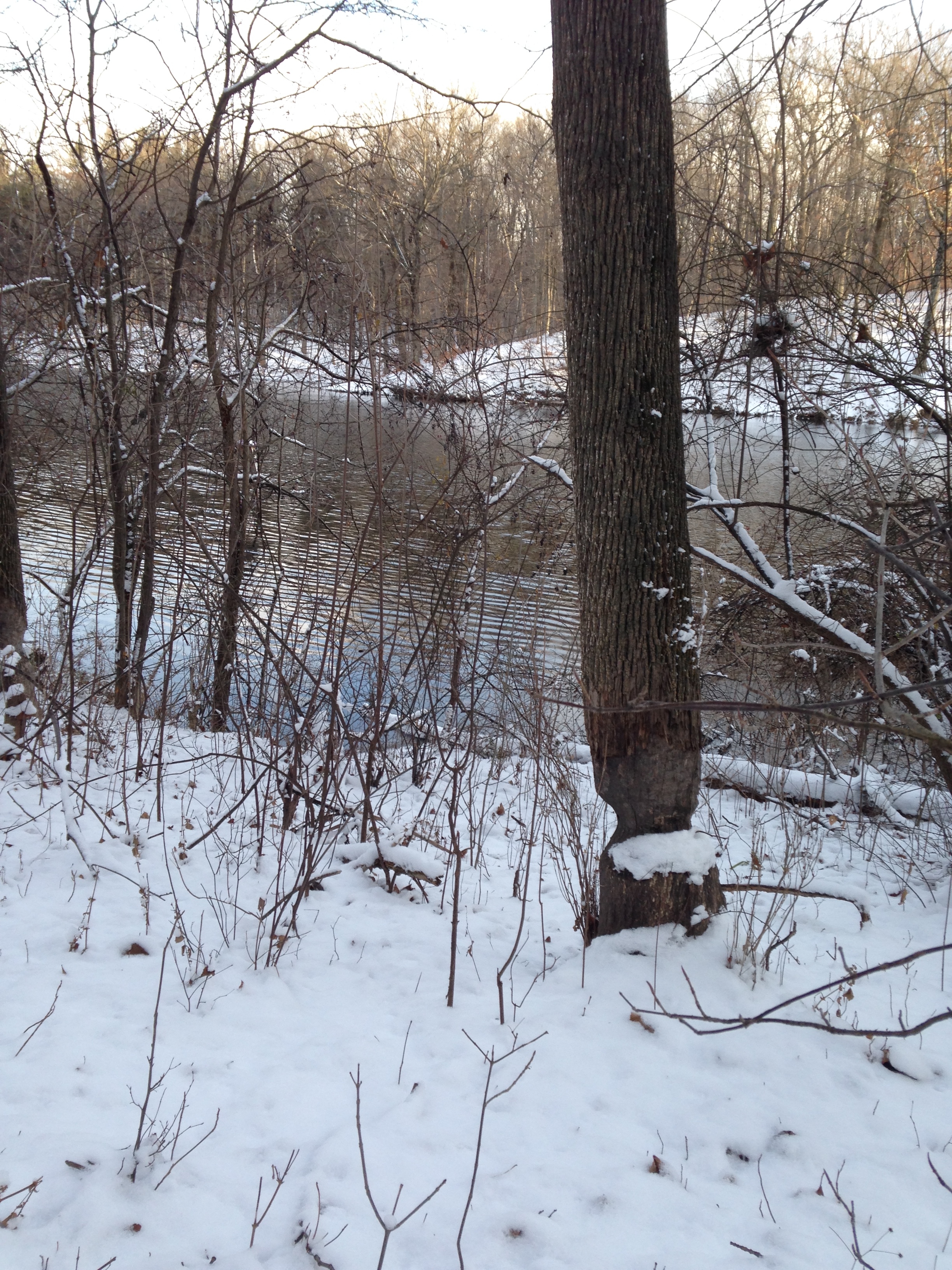
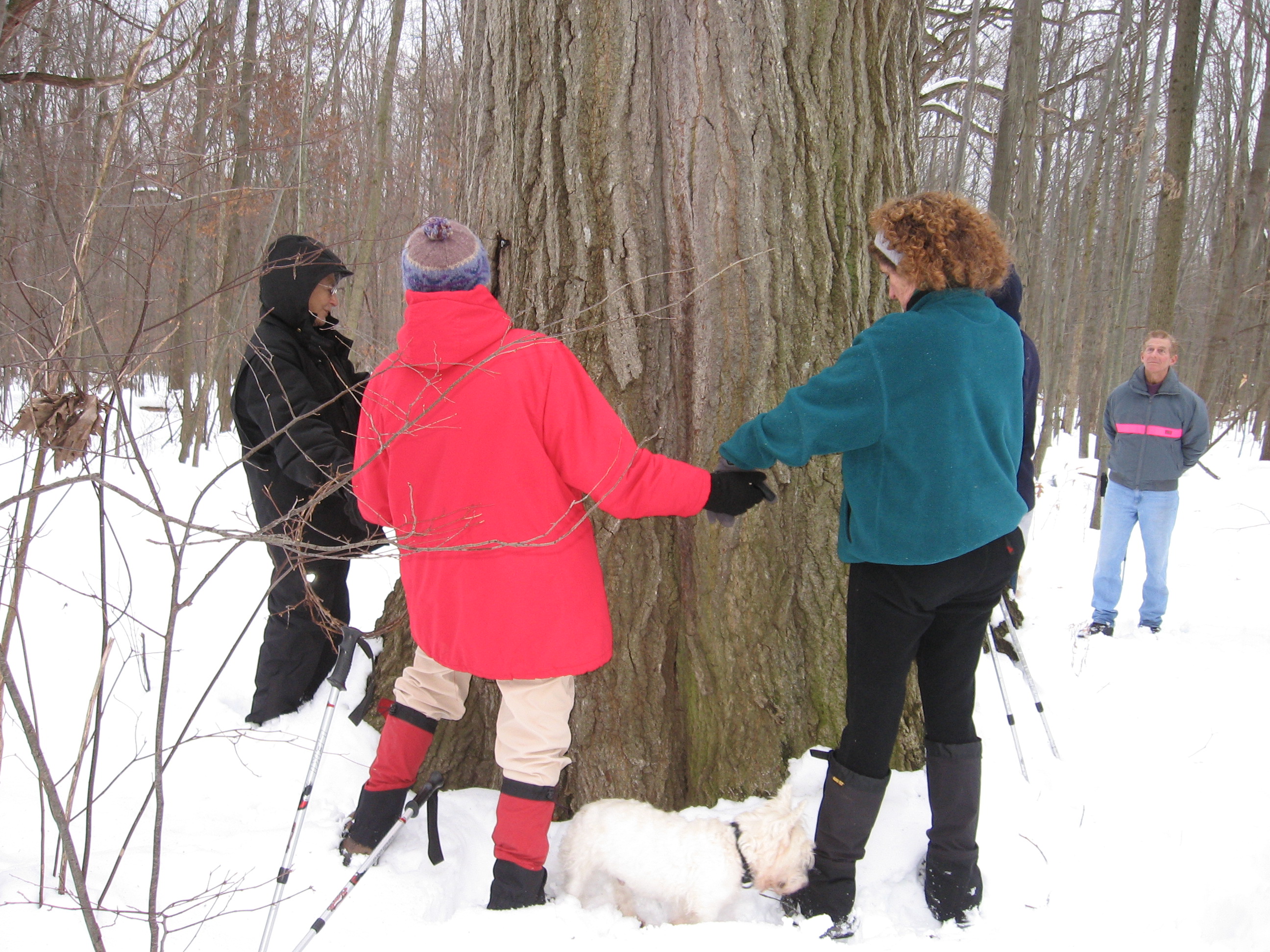
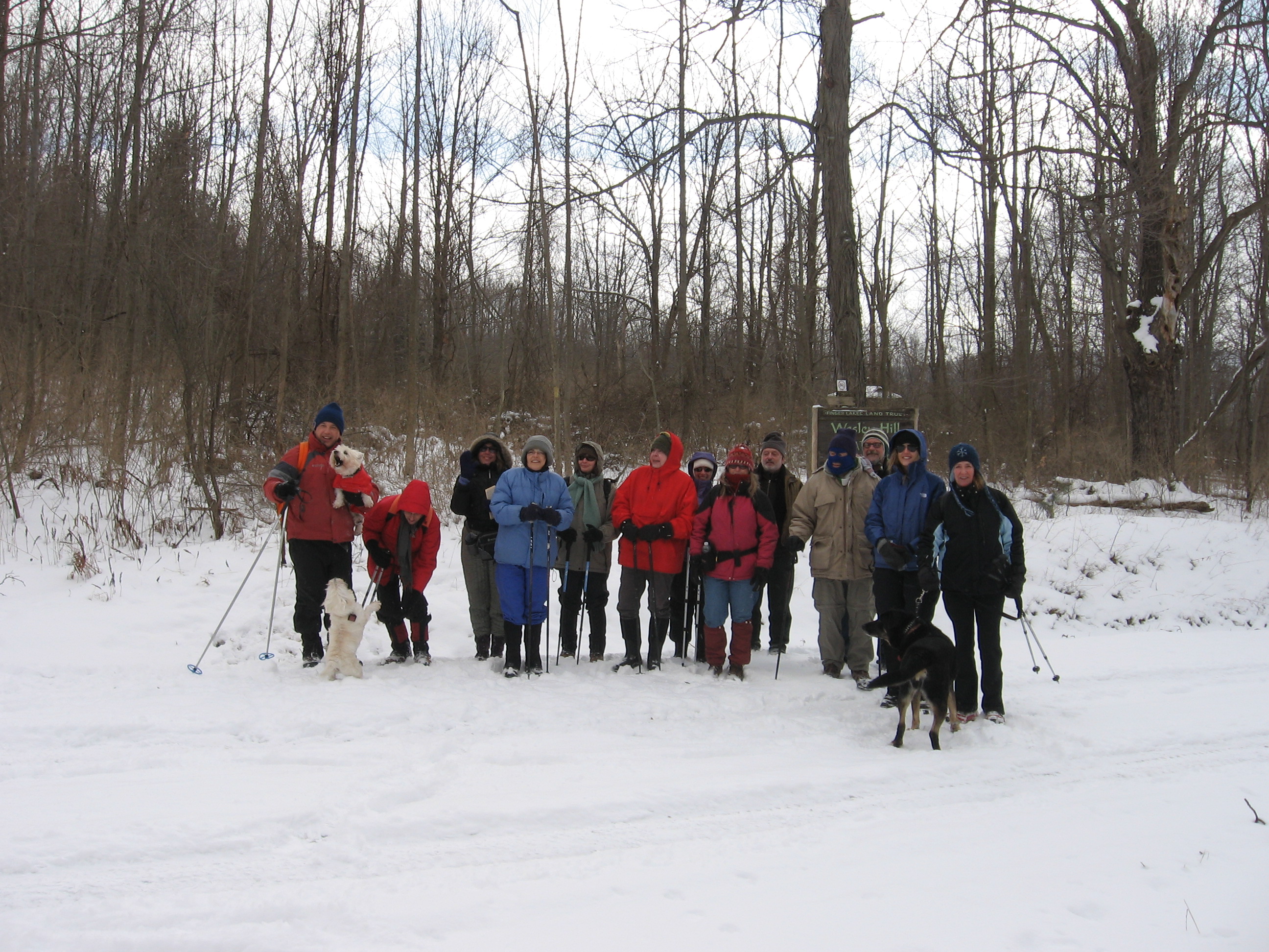
Boughton Park consists of 330 acres of which 56 acres is ponds, and approx. 5 miles of designated trails. Most of the trails are fairly level with some rolling hills. The south end of the West Pond demonstrates some glacial terrain with a few steep hills requiring care on slippery ice and snow. 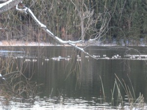 The Seneca Trail, part of the Victor Hiking Trails network of trails, is a trail that heads north out of Boughton Park and continues several miles northward thru private lands that have allowed the trail.
Parking in Boughton Park’s two gravel/dirt parking lots is by permit, available only to residents of the three town cooperative of the Boughton Park Commission. With the kind assistance of two friends of Springwater Trails, the hikers were able to obtain guest permits for this hike.
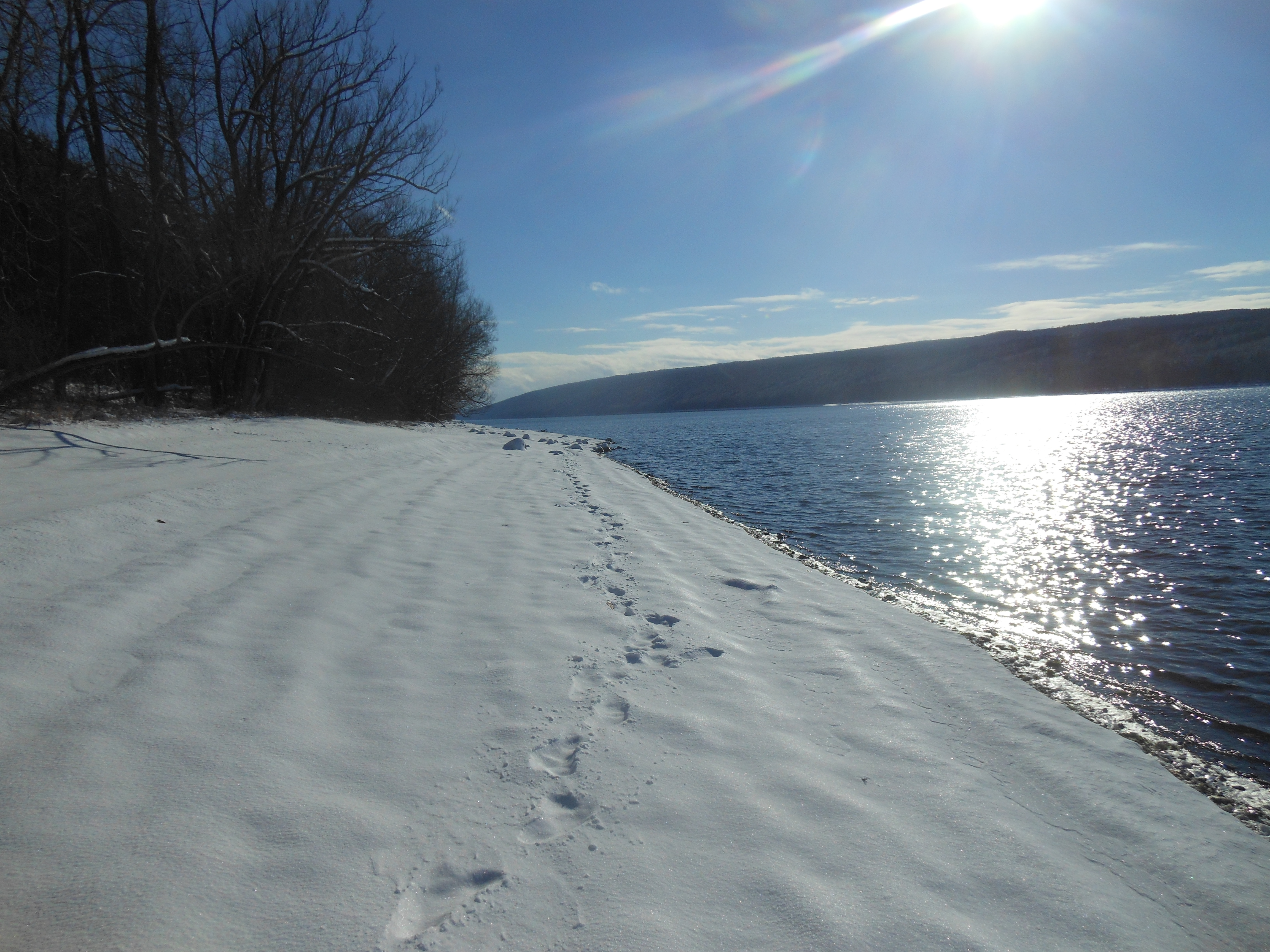
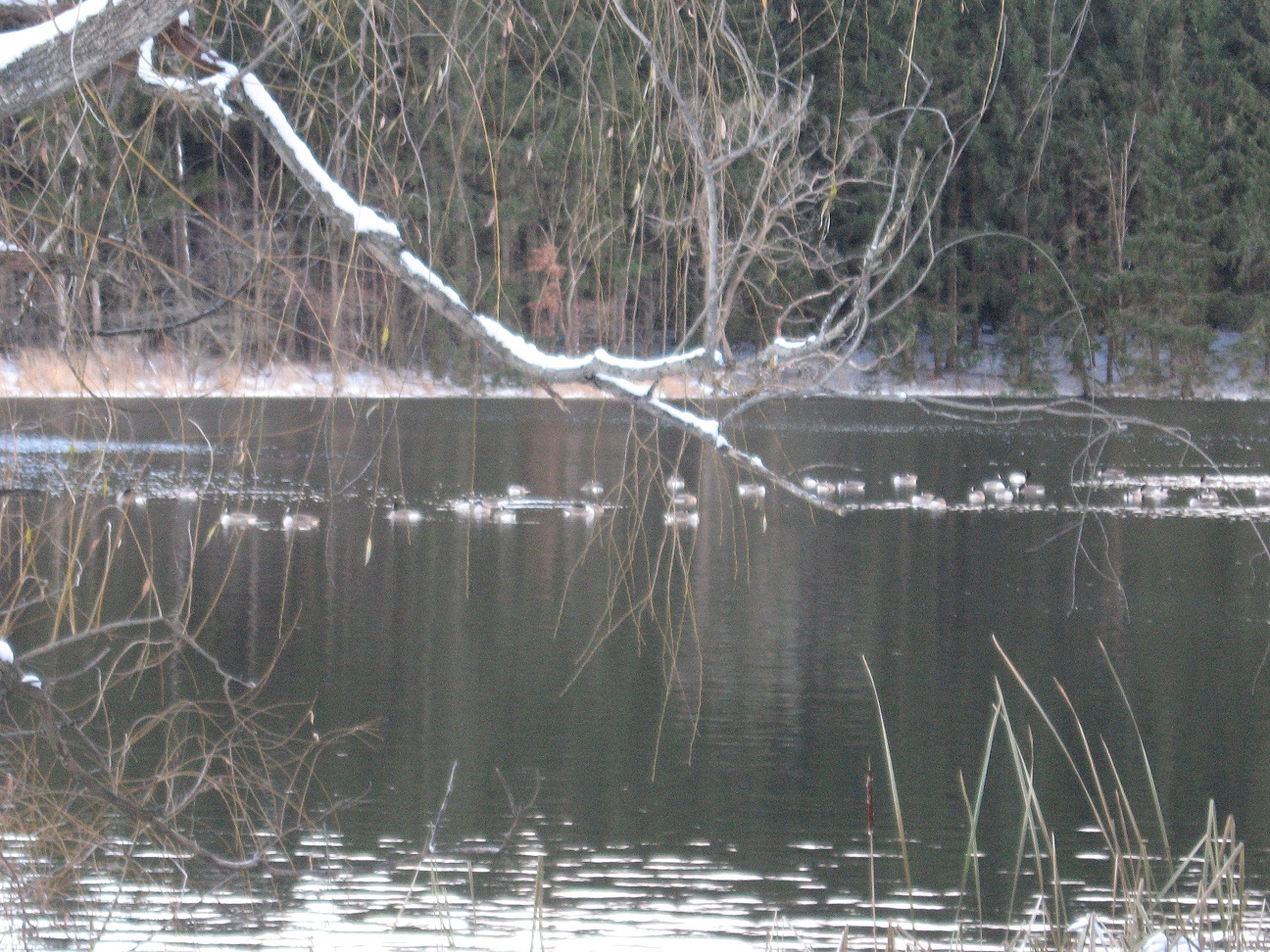
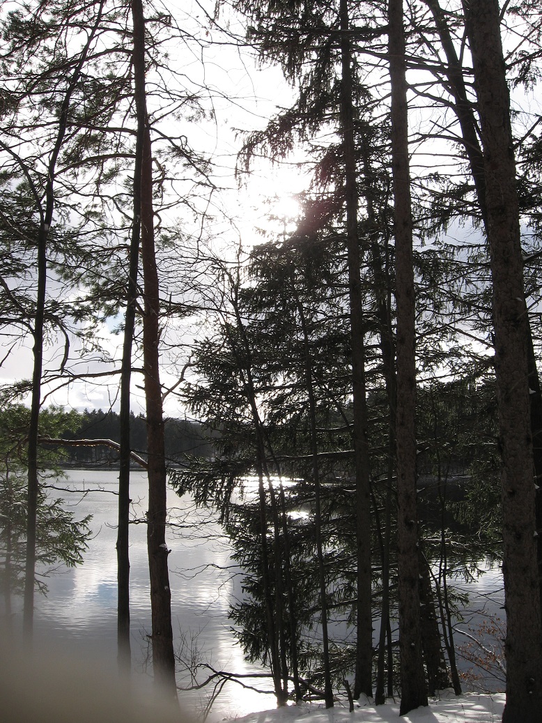
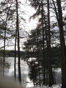 All hikers gathered in the Boughton Park – Stirnie Road parking lot (off the east side of Stirnie Rd). The Stirnie Rd parking lot overlooks the west side of the west reservoir (near the reservoir’s northwest corner) with a clear view of the reservoir, levy/retaining dam and spillway threshold with a crossing bridge, truly picturesque! A scenic point (peninsula) extends into the west reservoir and the picnic pavilion is situate between the parking lot and the tip of the point. (Fishing is allowed with NYS fishing license.) Hikers were rewarded with an open view of the reservoir with no cars obstructing the view.
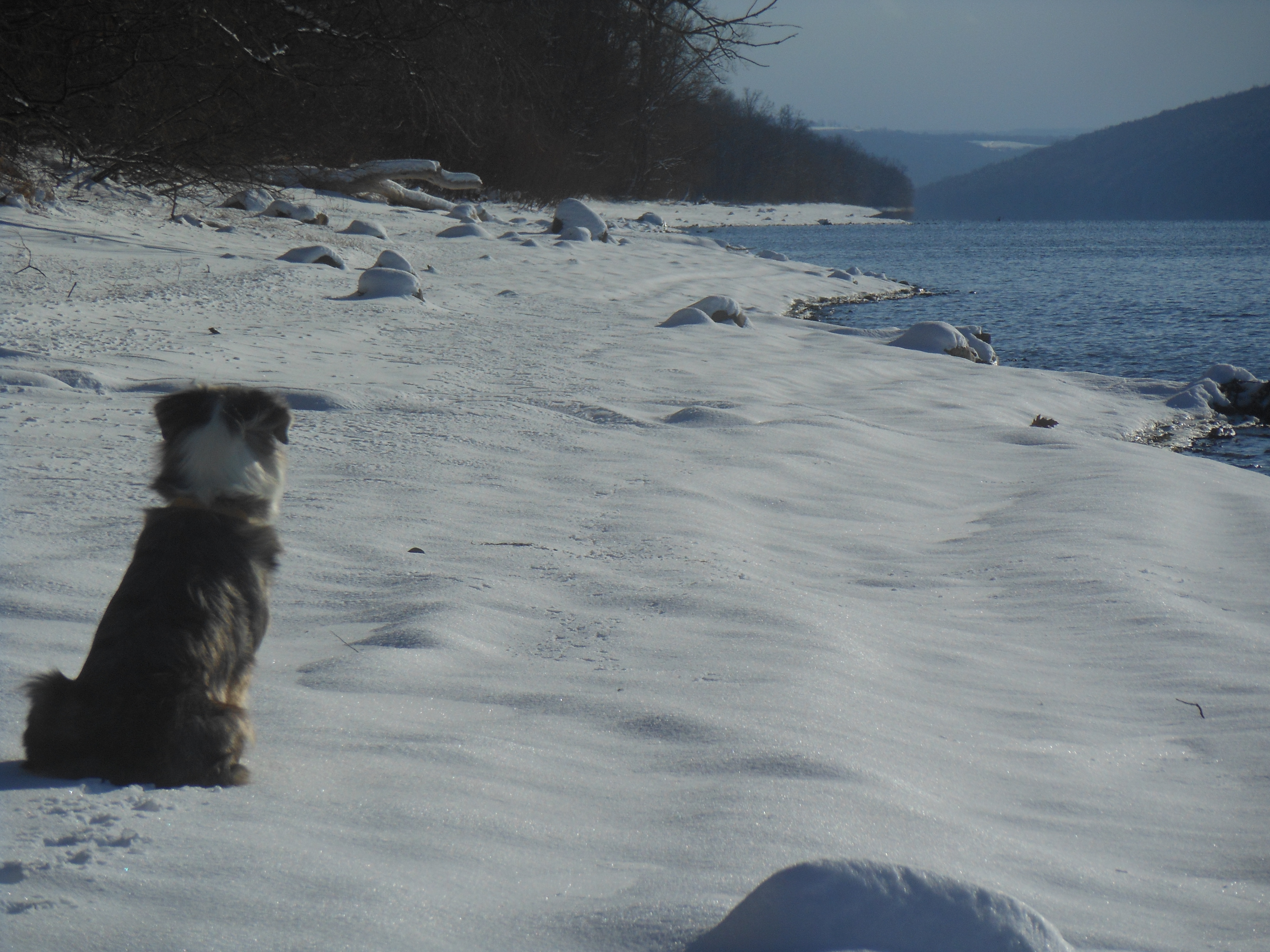
Boughton Park maintains a year-round no hunting policy, resulting in a popular locale for hiking and walking of dogs, in spite of the 20° weather.
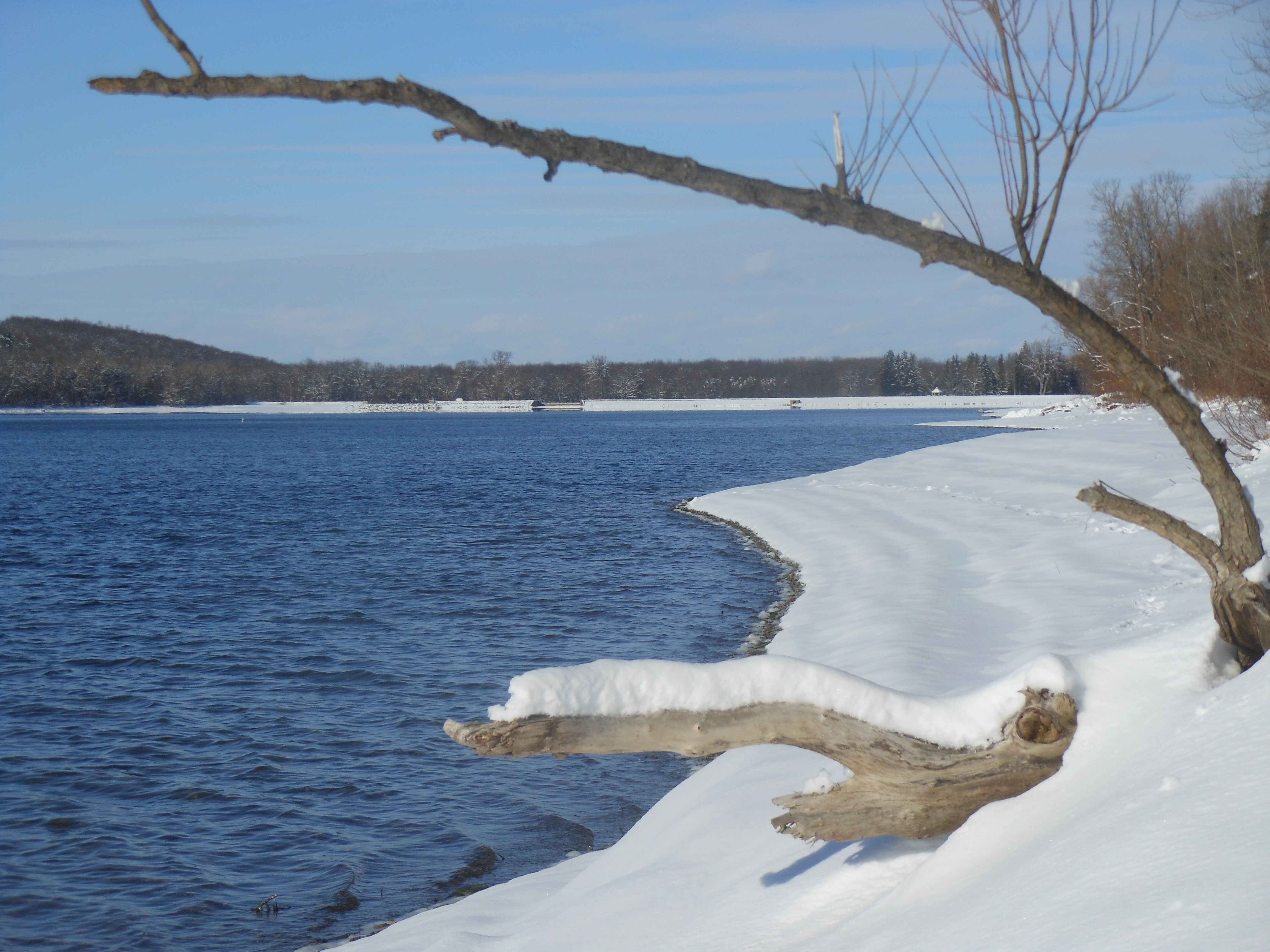
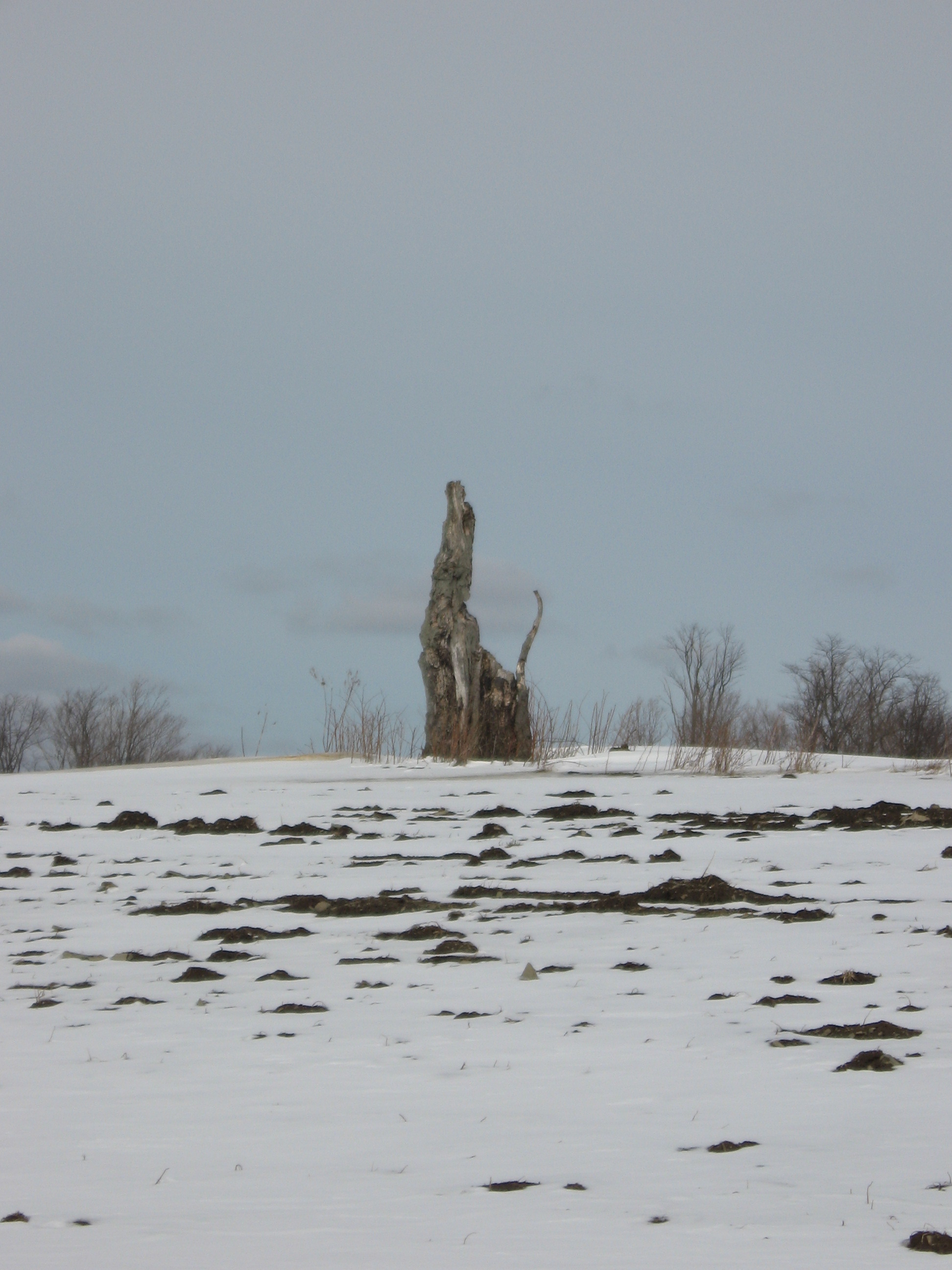
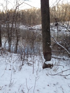 The many vista points gave Char good opportunities to record our hike. Boughton Park Commission seeks to maintain the park in as near natural state as possible and likely as low budget as possible, and therefore there are not the “improvements” or amenities found in some other parks. One benefit we saw were trees left standing by beavers which appear to have departed from the area several years ago.