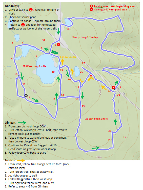
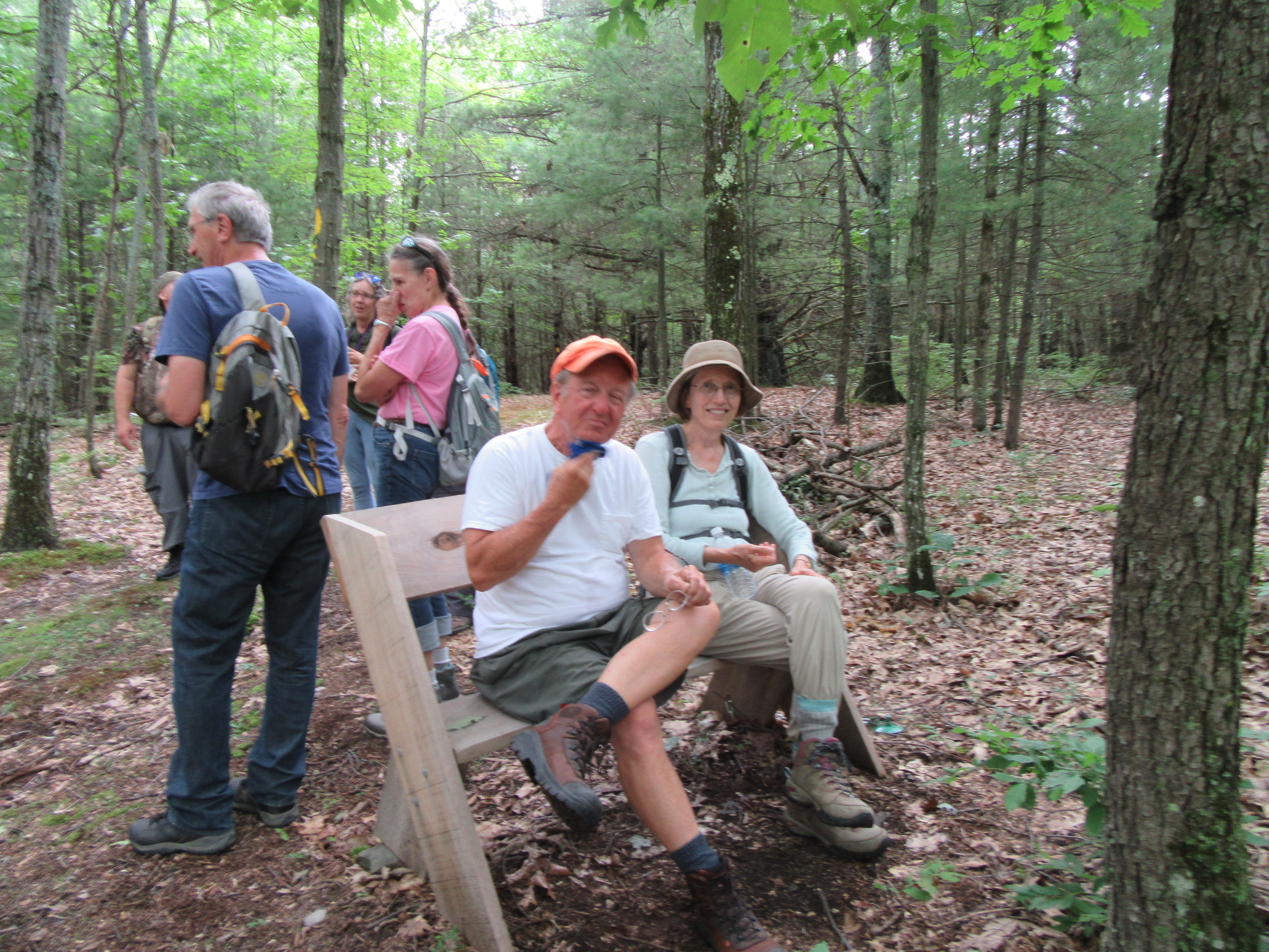
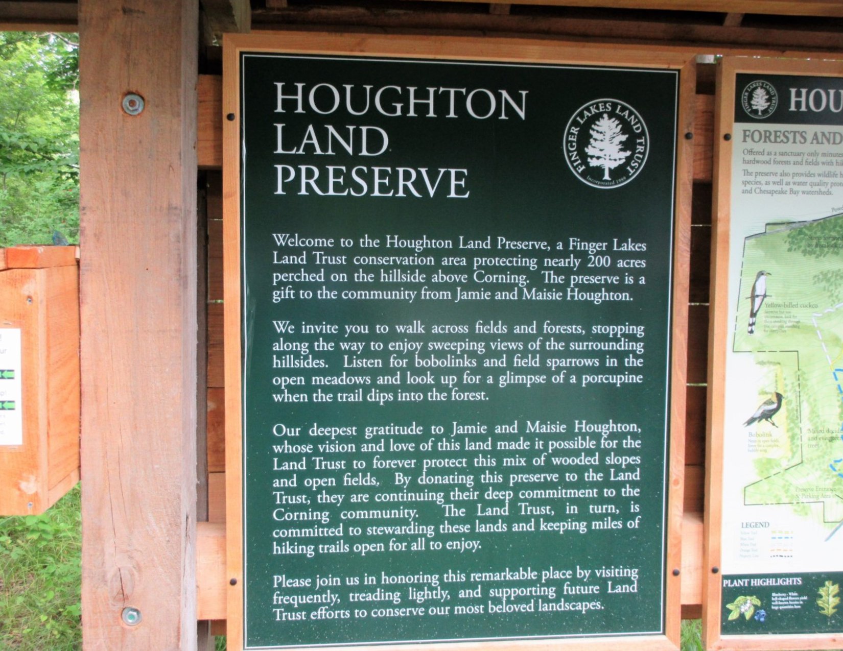
Display 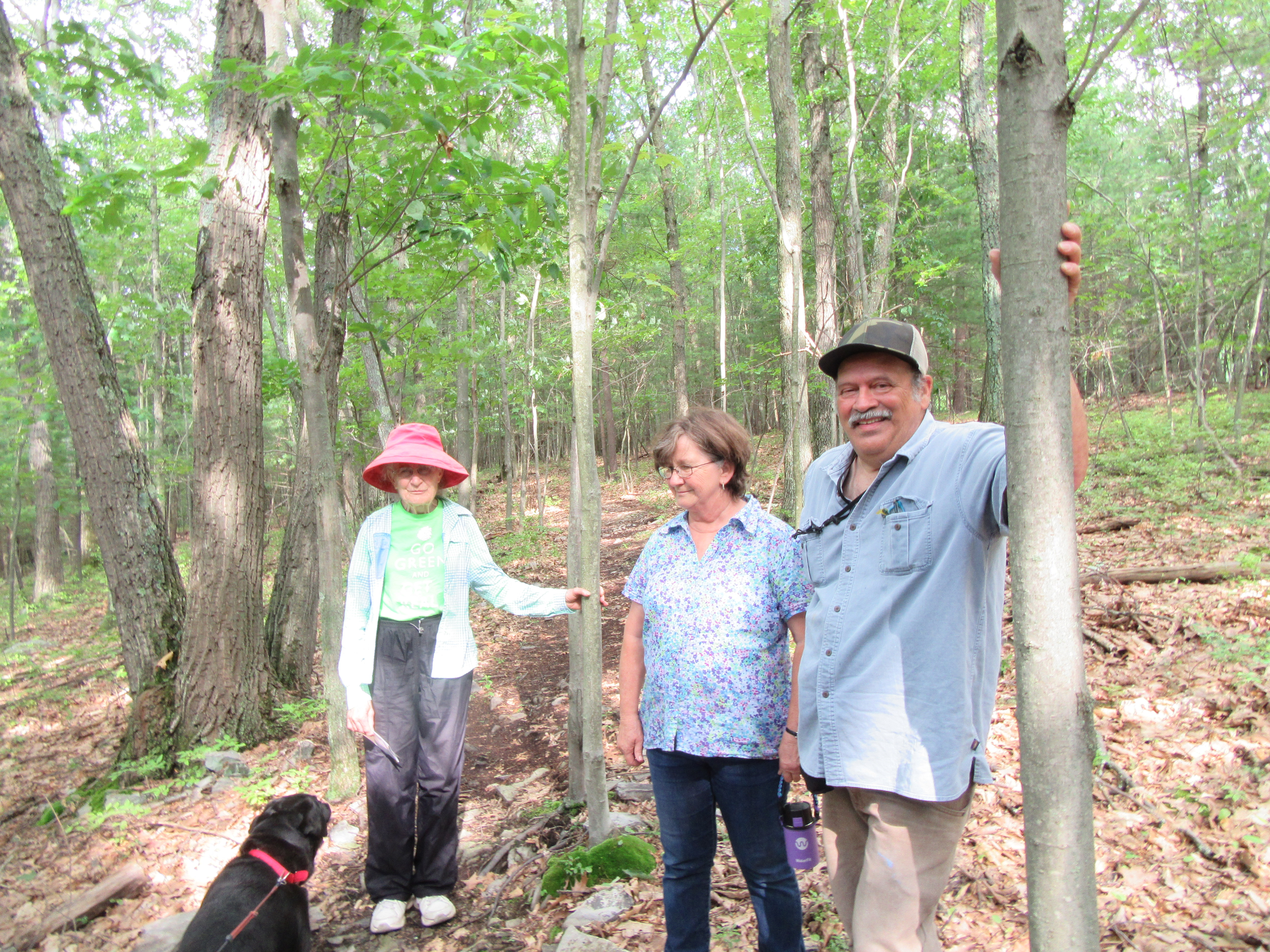 Yesterday, thirteen hikers were treated to a lovely walk in the woods at the Houghton Preserve in Corning. The Finger Lakes Land Trust has created more than 35 of these conservation areas that are open to the public for quiet enjoyment of nature.
The abundant shade and a refreshing breeze kept us all comfortable as we meandered along the well marked and maintained trails. Three naturalists enjoyed a gentler walk along the lower trails and a peaceful meadow, although they did cover quite a bit of ground. The bobolinks did not put in an appearance except on a smart phone.
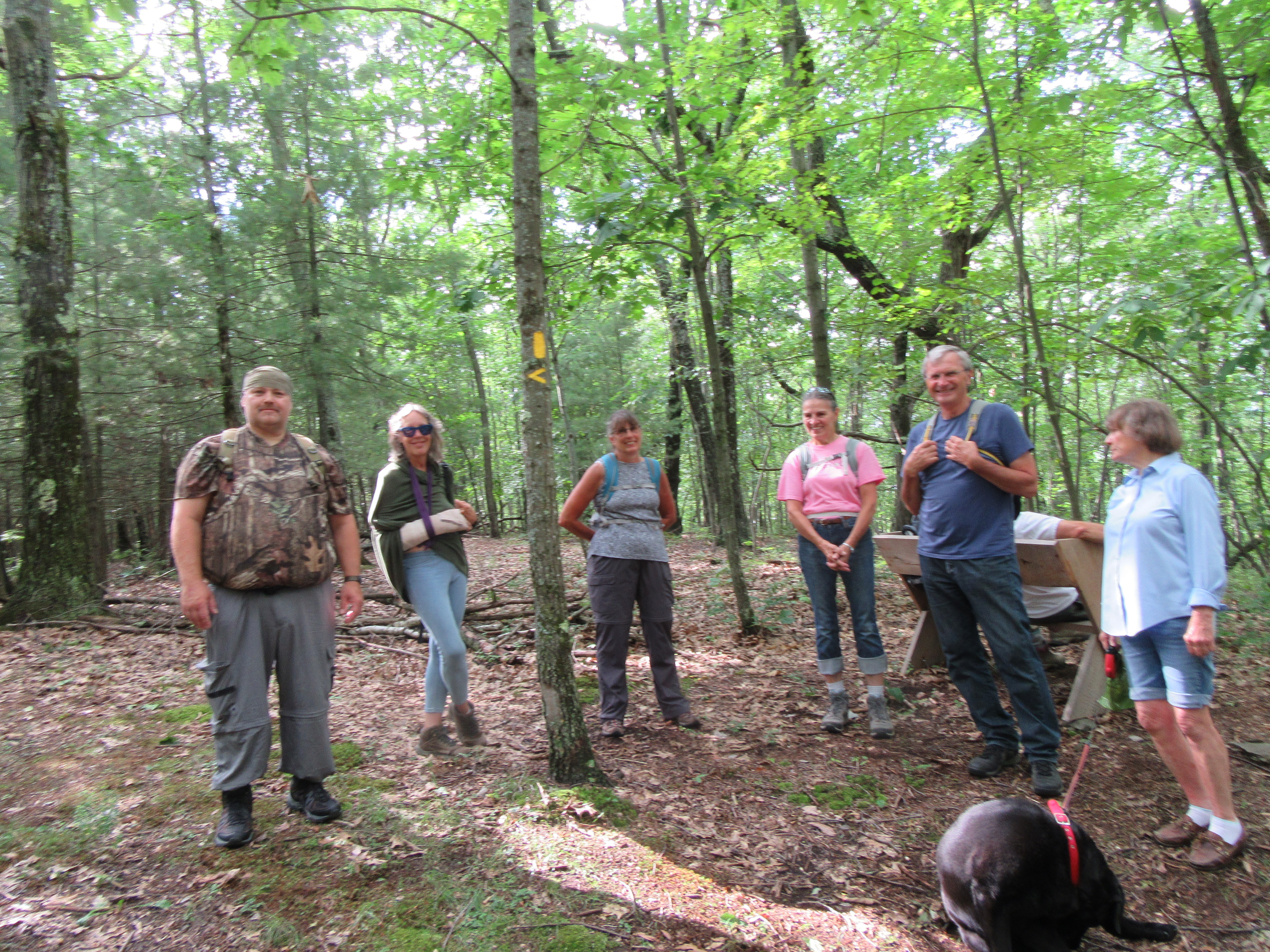 Ten tourists/climbers traversed the upper and lower loops, listening for a cuckoo and searching for evidence of porcupine, when they had an unexpected sighting. A black bear loped through the forest just uphill from the trail. Thanks to Pinock ( on his first hike with our group) for his quick reflexes in alerting us, as we might never have gotten a glimpse. Our noise and numbers frightened the little critter away too quickly for John to snap a photo.
 Our after hike social at the Market Street Brewing Company was most enjoyable, despite the slow service. Good food, good prices, good beer.
This was Springwater Trails first outing at Houghton. Hopefully we will return to enjoy it in other seasons. If you wish to explore on your own, this is a very user friendly area: ample parking, kiosk with maps and information, well blazed trails. Keep and eye out for bears!
 Check our facebook page for more photos.