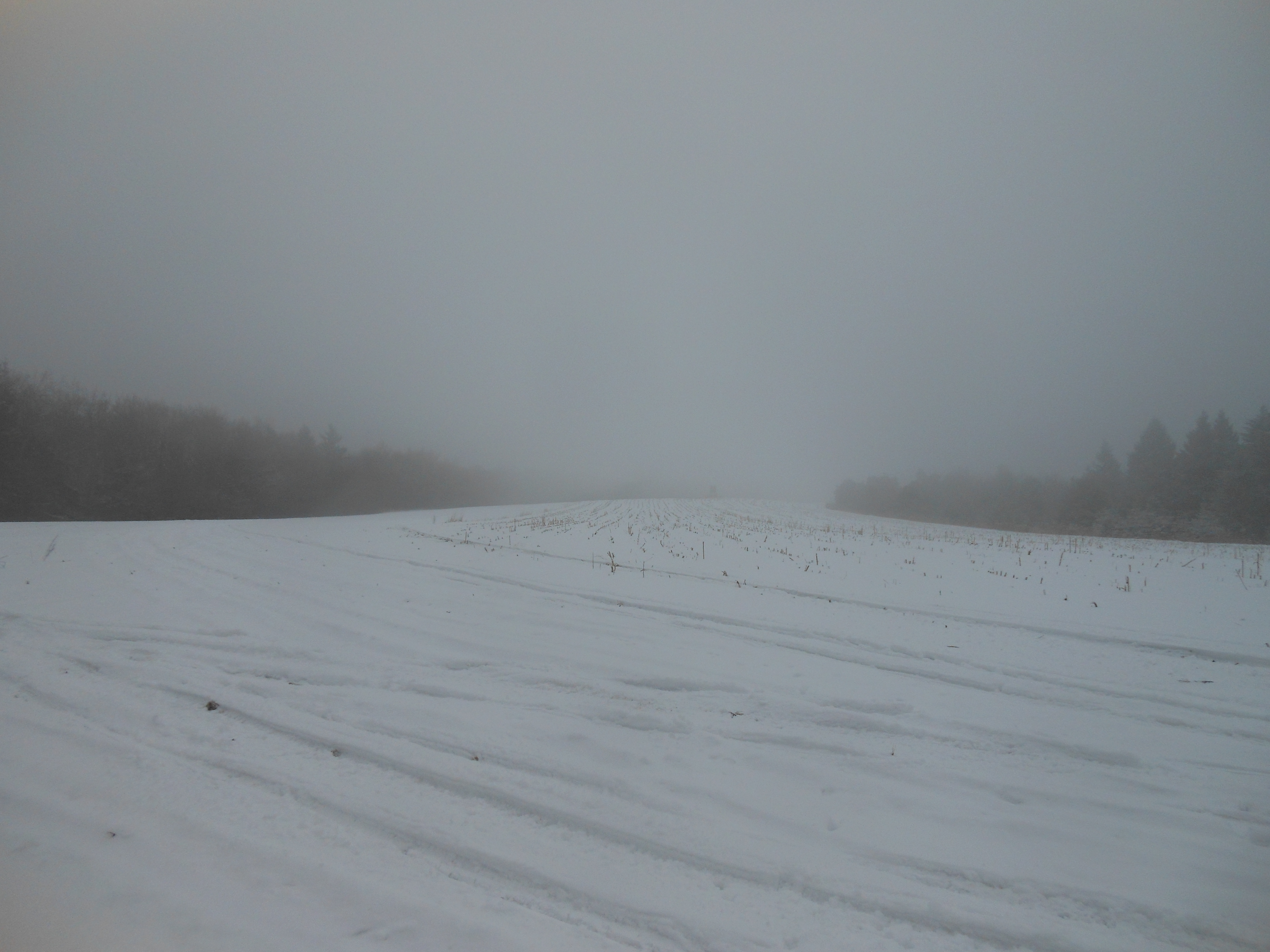
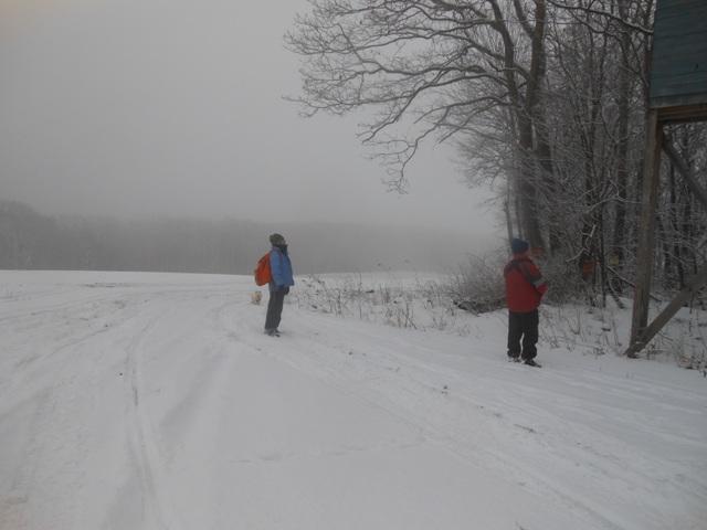
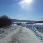
foggy hill at top of C-4
“It’s pretty foggy in Honeoye! Are we still hiking?” asked one hiker on his way south to our scheduled Sunday hike on the C-4 Snowmobile Trail. This area is known for it’s high elevations located in the far southeastern section of Livingston County, bordering Ontario and Steuben Counties. My eyes kept looking at the fog covered hills thinking…. what if we can’t see in front of us and get lost up there? Should we tie a rope to everyone to keep them together if visability is poor? I think I have read some survival stories about people getting lost in the fog and it was definately hypothermia weather.
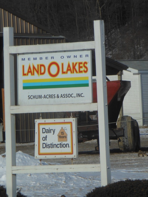
Schum Acres Dairy Farm milks 1000 cattle
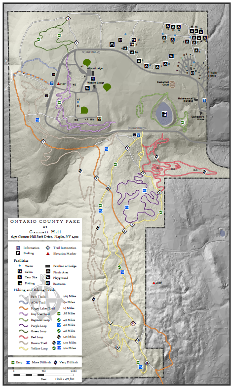
As I approached our designated meeting spot at Schum Acres my fears quickly passed as I felt a little more confident that Rick and I previewed the trails a few days before, scanning the area in detail for over 5 hours, identifying the C-4, S44 and HVC 14 trails, following the markers, fields, woods and structures that could guide us if there were no snowmobile paths to follow. The scenic views were beautiful on the preview day, but the fog today would not allow the valley, hills and windmills of the surrounding area to be visible. Luckily a wet snow and 26 degree temperature with no wind created a beautiful day for hiking with no need of snowshoes.
hiking in the fog
Our car poolers got a little confused at the beginning of the hike as to the location to start our hike. We intended to start at the intersection of Lanning and Richards Road which is accessed from Garlinghouse Rd in Naples, Ontario County. But some drivers thought we were starting at the Springwater end of Richards Road on the Livingston County side of the mountain. A quick phone call (good thing cells worked in this area) allowed the lost cars to eventually find us. Lanning Road was a little slushy, allowing only 4 wheel drive vehicles to make the climb to our starting location.

preview hike of surrounding area with no fog
Climbers took off while Tourists and Naturalists got a bit late start assisting others. Thanks Bob! A reminder to drivers that park on hills in icy road conditions…make sure your emergency brake is on, stay away from the back of the car and if it starts to slide, don’t try to stop it, you’re not superman or superwoman (although Pam and Rick think they are!)
 6 Naturalists hiked the flat seasonal road of Richards Road to Pardee Hollow and returned. Comments included beautiful, peaceful, quiet, an easily traveled secluded road also perfect for cross country skiing, led to enjoyment by all. Tourists and Climbers got a strenuous hike right from the start, hiking 200′ up Richards Road to the top of the Arena Farm. From there Climbers turned left to find the HVC 14 feeder trail that definitely passed through Wolfs Gull, rather than dropping into another section of the upper gull as was done last year. Good hiking boots, ice traks, moleskins and poles helped to make our winter hikes more enjoyable, especially descents into deep gully areas such as Wolfs Gull.
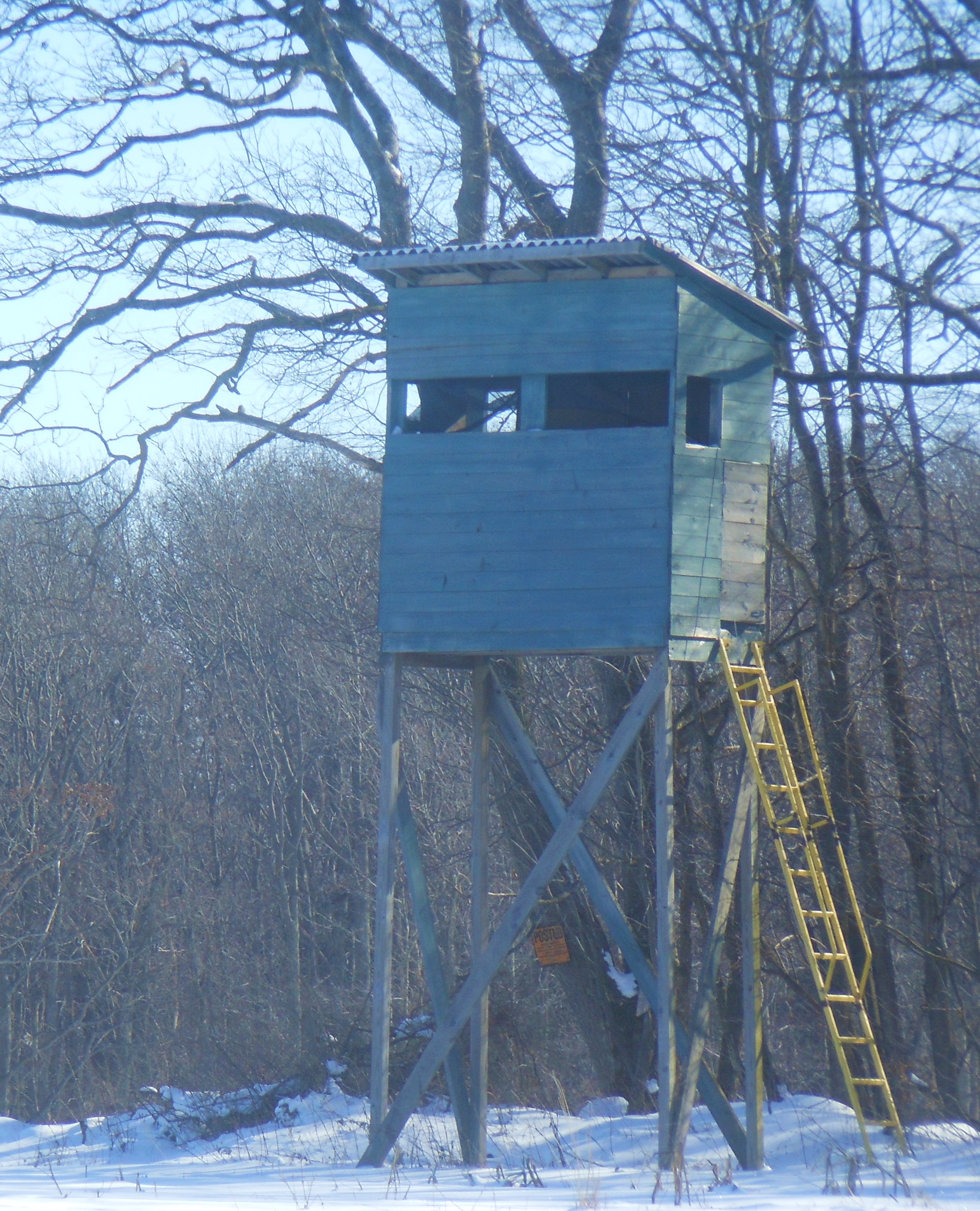 Tourists came upon several interesting structures following the main C-4 snowmobile route, including a lean too, outhouse, elaborate tree stands, a logging operation, old fashion windmill, and corn fields. Mac enjoyed being carried most of the way which put another 30 pounds on Mark front. Although evidence of snowmobiles had passed through the area, none were seen or heard.
Tourists finished their hike in a little over an hour and proceeded to walk into Wolf’s Gull at it’s exit on Garlinghouse Road to meet the climbers.
Tourists met the climbers coming out of Wolf’s gull
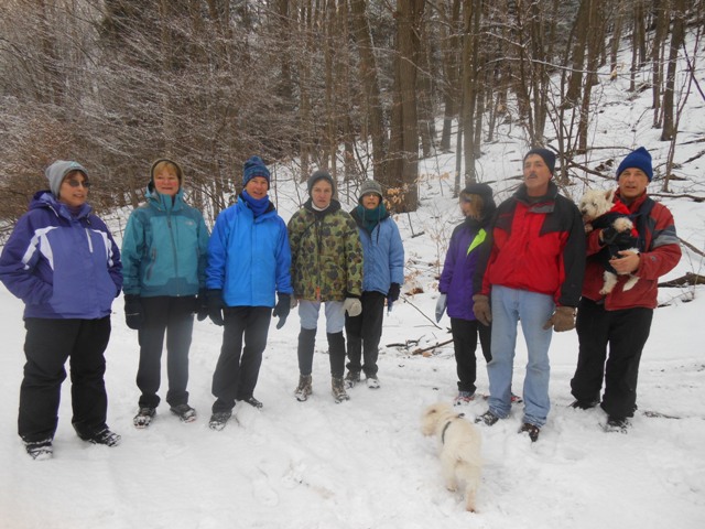
After hike social and chicken and biscuits were enjoyed at the Mountain View Restaurant in Atlanta where a long lost hiker found us. Missing for 3 months with a knee injury, welcome back Norm!
Bye to one of our regular hikers, Marty, who is off to New Zealand for 3 months. Thanks to Schum Acres, Mike Arena, Mr. Shipman, and Mr. Bauer for allowing us access to your land and to the Honeoye Hill and Valley Riders for allowing us to use the snowmobile trail. We’ll be back to do another section of the snowmobile trail from Coates Road to Warner Road on Feb. 16th.
-
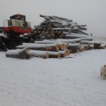
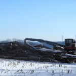
- Winter logging
-
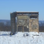
- Deer stand in the middle of the corn field.
-
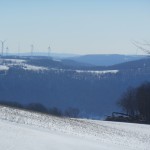
- preview hike of surrounding area with no fog