Posted on by

Cleveland Hill Hike

IMG_3678 (2)

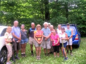
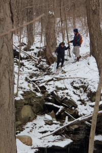
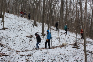
It was a very warm afternoon last Sunday, but that did not deter the dozen determined hikers who came to explore the beauty of Cleveland Hill, on a section of the Bristol Hills FLT branch, also shared by the BSA Camp Warren Cutler.  While we saw no trace of the legendary General Cleveland what we did find was a well maintained trail, some lovely views or the Bristol Valley, and numerous flying foes.  We welcomed two hikers new to our group, Kathy and James.

A small group of three headed northeast toward  the beaver pond to enjoy some gentler terrain.  Under Mark’s leadership, another group made their summit attempt from the south access  on a less challenging slope.  Melissa led the remaining seven hikers up the steeper north side.  Elevation achieved, 2210 feet.  Along the route we observed some activity by  an environmental agency, thinning out some of the oaks to make room for new growth.   Along the trail, James pointed out several species of oaks and pines he had learned in his wilderness course. We passed several side trails that connect to the Boy Scout camping area, but opted not to add to our mileage.

The two climbing groups met near the overlook at the top where Mark so graciously surrendered his keys to those who would have had to road walk for a mile plus.  Gene also pitched in and transported the long hikers back to their vehicles.  Many thanks for saving us from a steamy slog  up CR 33.

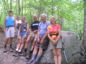
IMG_3680A quick break along the trail

IMG_3682 (2)

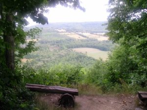
View from the overlook, well worth the climb.

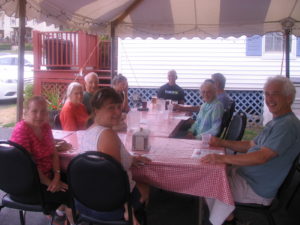
Following our hike, many folks gathered at Brew and Brats in Bristol Springs for some excellent refreshments.  Thanks to John French, the owner, for being a very accommodating host.

IMG_3683End of the trail


Posted on by

Hiking, biking and raspberries on Ontario Pathways, 7/3/16

Probably due to the combination of distance from Springwater and the midst of a mid summer holiday weekend, only 7 hikers participated on this one.  We’ve had better attendance when its been 10 degrees in January.  This day, we had nearly perfect hiking conditions, 80 degrees and a pleasant breeze.

John was the only biker, and did a solo 2 hour ride on his bike.  Katherine and Char did the tourist hike, from Freshour Rd. to the west end meeting place.  They had a nice deer sighting on the trail.  Gene, Pat and Tony went from the county fair grounds on CR 10.  About a half mile from there, just before the trail crosses CR 4, there were raspberry bushes loaded with plump ripe berries and each hiker collected a load of them.  There were plenty of green berries for future picking for any lovers of our area’s summer bounty.  As usual, Tony took plenty of pictures to post on Facebook.

The after hike social was at a picnic table outside the New Covenant Baptist Church, on the south side of CR 46, where the trail crosses it just east of CR 10.  This church is very accommodating to hikers.  Georgia brought assorted crackers and cheeses, including one with tequila and lime, which was a new one for us.  Katherine had her usual delicious and healthy salad of assorted fruit, and Char, known for her desserts, came through nicely again with a very tasty cake.

Posted on by

Bicentennial Cemetery Hike

IMG_1251 Nine sturdy hikers braved hail, snow and high winds on Sunday, May 15, for the second Springwater Trails Bicentennial Hike. Snow in May is not unheard of, but it is unexpected, especially given a March with a high of 75 and average temperatures of 50 degrees.

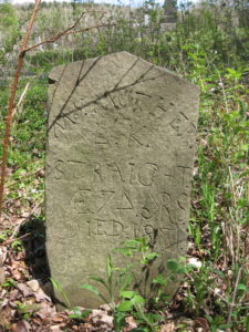
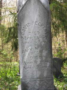
IMG_1252We all gathered at the corner of Giles and Schribner Roads, and then carpools to the East Springwater cemetery on Tabors Corners Road. This well maintained cemetery contains grave stones for both Scribners and Guiles plus other familiar names now attached to roads in town.

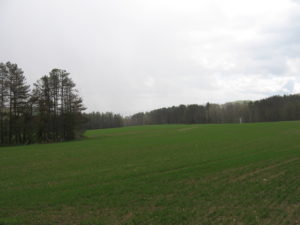
IMG_1255After about 20 minutes of exploring, we headed south on Tabors Corners and then headed down toward the Cohocton River. On the other side, we climbed up to several fields planted with a grain (maybe oats).  Across the field, we entered a working tree farm and followed logging roads around the hill.  Our final leg of the hike crossed through fields and woods up Gilles Rd to a private family cemetery from the mid 1800s.

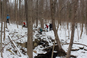
On the way back to the cars, Wendy tried to get a picture of us all in the snowstorm, but it didn’t last long enough to herd even six hikers into a group.

IMG_1258So, even with the hail and snow, it was an good hike will some fun exploring.  Most of the dishes at our social were hot, allowing for an enjoyable time out of the cold. We now think winter is officially over, so join us for our spring hike next week at Mossy Bank Park. Our thanks to Andy Hamilton, Sue Conge and Roy Gibson for allowing this special hike on private land.

Posted on by

Exploring the new side of Rob’s Trail

Rob's trail 1Today we enjoyed a hike down from Rob’s Trail on RT 15A to Hemlock Lake. The trail started on Nature Conservancy land.  The Conservancy has chosen to preserve land that joins the Hemlock Canadice State Forest over the top of Bald Hill, and now they are creating a hiking trail to allow the public to enjoy these unique Finger Lakes.

Rob's trail 4Last summer, the Conservancy started clearing the trail.  One crew started from the top on Rt 15A.  We started on that trail, until we came to the end of the built portion.  At this point there is a major gully that the Conservancy wants to cross on a bridge that will give a grand view of the waterfall.  Rob's trail 8The NY Department of Environmental Conservation, which manages the state forest must approve this construction.  While this approval is pending, another construction crew worked on extending the trail along the lake. After a bit of confusion over the various temporary trail markers, we reached the lake and finished the hike with a stroll along the old lake road to the north boat launch.  Gene and Katherine, who had hiked the upper portion of the trail, pciked us up and drove back to the parking lot at Rob’s Trail.