Posted on by

Wheaton Hill Report

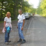
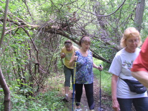
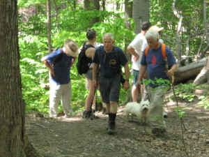
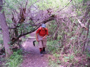
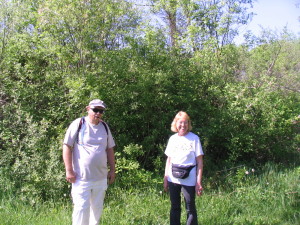
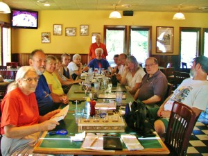
Yesterday 7 hikers, with clippers and and a hand weed cutter, enjoyed dancing in the rain to push back the encroaching plants on the Wheaton Hill Rd trails.  The weather was good for a work crew all day – cool, no hot sun, and dry – until 3:00.  Unfortunately, we scheduled maintenance for 4:00.  The trees protected us somewhat from the constant rain, and we all wore rain jackets with hoods.  By 6:00, pants below the jackets were soaked, socks were  wet, and hair had curled.  Katherine opened her home for our social, which was much more comfortable than standing in tall wet grass making tacos.

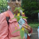
Ant Mound at Wheaton Hill

Ant Mound at Wheaton Hill

The roses continue to try to take over the trail.  We used clippers on a few of the bigger clumps, but Marty was able to get most of the new roses with the hand weed cutter.  And he got to practice his golf swing!  Melissa noted many ant mounds along the trails and promised to investigate what kind of ant likes this forest.

Check back for a picture of the waterfall at the end of the Pine trail.  After clearing the southern Spruce and Red Bud trails, we took a quick walk up the Pine trail to see the benefits of all the rain we have had.

Stay dry!

Posted on by

Celebrating the Summer Solstice – The annual Canadice Lake Tri-modal

winners of Canadice Lake Tri-modal

winners of Canadice Lake Tri-modal

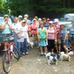
Congratulations go out to Mark, Linda, Melissa, and Wendy for completing the 3rd annual Canadice Lake tri-modal! Timing was perfect for honoring Father’s Day, celebrating the Summer Solstice, and observing the “after the flood” conditions around Canadice Lake.   18 persons and 4 little dogs joined us to either walk the damaged roads and trails, bike around broken shoulders and potholes, or kayak into the high waters and flooded inlet area of Canadice Lake.

canadice lake tri-modal - June 21, 2015 001Due to the damaged conditions of the Canadice Lake Trail, alternative hiking and biking directions were adjusted by prednisone Pam for different skill levels. Climbers choose to challege themselves on Holmes Hill Road, a seasonal road, off the Canadice Lake Road, that travels along a deep ravine to CR 37, high above Canadice Lake.  From the top they traveled south to meet Johnson Hill Road, back down to Canadice Lake Road and return to the kayak/canoe launch, for a total of approximately 5 miles on a hot day.

canadice lake tri-modal - June 21, 2015 027canadice lake tri-modal - June 21, 2015 013 canadice lake tri-modal - June 21, 2015 032

Naturalists chose to enter the south trail along Canadice Lake, exploring the inlet area of the lake, seeing where the waters met the trail, hearing the songs of birds and frogs, identifying new mushrooms and wildflowers, and observing the damage from the June 14th flood on the “Haul Road”.

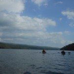
Mark, Linda, Wendy and Melissa decided to bike north along the Canadice Lake Road and loop around Canadice Hollow Road back to the kayak/canoe launch for a total of 8 miles, followed by kayaking, and a brief walk to complete the tri-modal event.  Staying close to shore, kayakers explored the eastern shoreline, crossing the lake to the west side past the state boat launch, and following the small channel of the inlet area to locate the beaver lodge.  Although threatening thunderstorms were in the forecast, the weather was beautiful for a paddle, with a few gusts (not ducks or dusts),surprising kayakers in the middle of the lake.

canadice lake tri-modal - June 21, 2015 049 canadice lake tri-modal - June 21, 2015 003 canadice lake tri-modal - June 21, 2015 015

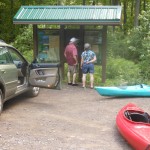
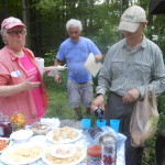
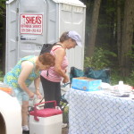
After hike social was held by the kiosk and included chicken wings, mexican shrimp, and many other delicious summer salads and desserts.  Welcome goes out to Julia (Nanette’s sister) and Jim and Ann from the Genesee Valley Hiking Group.

canadice lake tri-modal - June 21, 2015 040canadice lake tri-modal - June 21, 2015 029canadice lake tri-modal - June 21, 2015 042

Posted on by

Highlights from the White Brook/ Crescent Trail Hike

IMG_3147

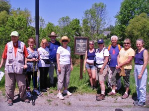
A picture is worth a thousand words, so they say.  That will save me a lot of writing.  You can tell by those smiling faces that we all were delighted with the fine hiking weather as well as the beautiful sections of the Crescent Trail. We had fifteen hikers in all, including a couple of latecomers who did not make the photo opp.  Nanette made a surprise appearance, having been on the absent list for some time due to knee surgery.  It was so nice to have her back on the trail.IMG_3151


One group tackled the heights of Indian and Thayer Hills with Mark in the lead.  They covered quite a lot of territory and had some fine views from the hilltops.

(c) Char Buck, 2015

The Tourists and Naturalists combined forces to explore a lovely wooded section across from the White Brook area.  Gene and Georgia gave us a catalogue of the flora and fauna we encountered along the route. They are amazing!   Many wildflowers and songbirds distracted us from the abundant poison ivy.  Subsequently, the group traversed a portion of the wetlands where we met up with Rick and John, our late arrivals.  Time did not permit us to experience the entire preserve.  It might be worth a return trip to hike the whole area.

IMG_3149

IMG_3152

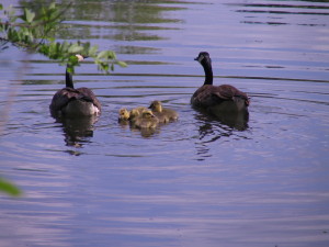
Canada Geese Family along the Crescent Trail

IMG_3154

Bonnie and Rick enjoying the preserve

After hike social at Noonan’s Pub was a hit.IMG_3155

Happy Birthday to Mark and Gene.

Posted on by

Hike review, May 10, 2015

On this Mother’s Day date, we went to a new location for our group.  Mossy Bank Park is located on a hill south of Bath.  Randy Weidner, and his wife, Cathy, a retired physician and amateur naturalist and one of the park’s directors, were our hosts.  The day was partly cloudy and in 80s.

After a few minutes to tour the nature center, we began our hike on the overlook road.  When we arrived at the shed overlooking the Cohocton River and Village of Bath, Randy explained what we were able to see.  From there, we proceeded to what is now, the park’s big attraction.

In the valley west of the park, for the past 7 years, a pair of bald eagles have built a nest in a tall oak tree. Eagles primarily eat fish and can apparently get plenty from the nearby Cohocton River.  From an overlook ledge, visitors can view the nest from above.  Randy set up a spotting scope, to give us a close up view.  On this day, 2 chicks had recently hatched and were still in the fuzzy downy stage.  One of them raised his head up.  One of the parents was nearby, with dark body and white head and tail, giving us a good view that our national emblem is recovering and doing well.

After this, Randy led the main group along some of the new trails for a steep and lengthy hike.  I led a few on the established trails to the northeast corner, and back to the nature center.  Many dead branches were observed on some of the hemlock trees, probably due to infestation of invasive woolly adelgids, which were discovered earlier.  The diagnostic white ovisacs are not visible this time of the year.  Our after hike social was held inside the nature center.

I know all of you join me in expressing our gratitude to Randy and Cathy for their gracious hospitality.  We’ll probably see Randy again on September 6, at Katherine’s tree farm, where we will do a combination hike and mushroom hunt, and Randy will identify the mushrooms that we find.

Mossy Bank Park is open between May and October.  In the comment section below, express your thoughts about this park and hike and let us know if you think we should plan a return hike there on a future date.  If you couldn’t go to this hike and would like to go and see the eagles, of if you did, and would like to go again to see the chicks develop, you can let me know and, if I can, I’ll go with you.

Please note that there are still 4 open dates on the summer hike schedule, in July and August.  If you’re not listed to lead a hike, and would like to take us to one of your favorite hiking trails, we would love to go with you.  Remember that, if we don’t get a hike leader, no hike will be held on that date.