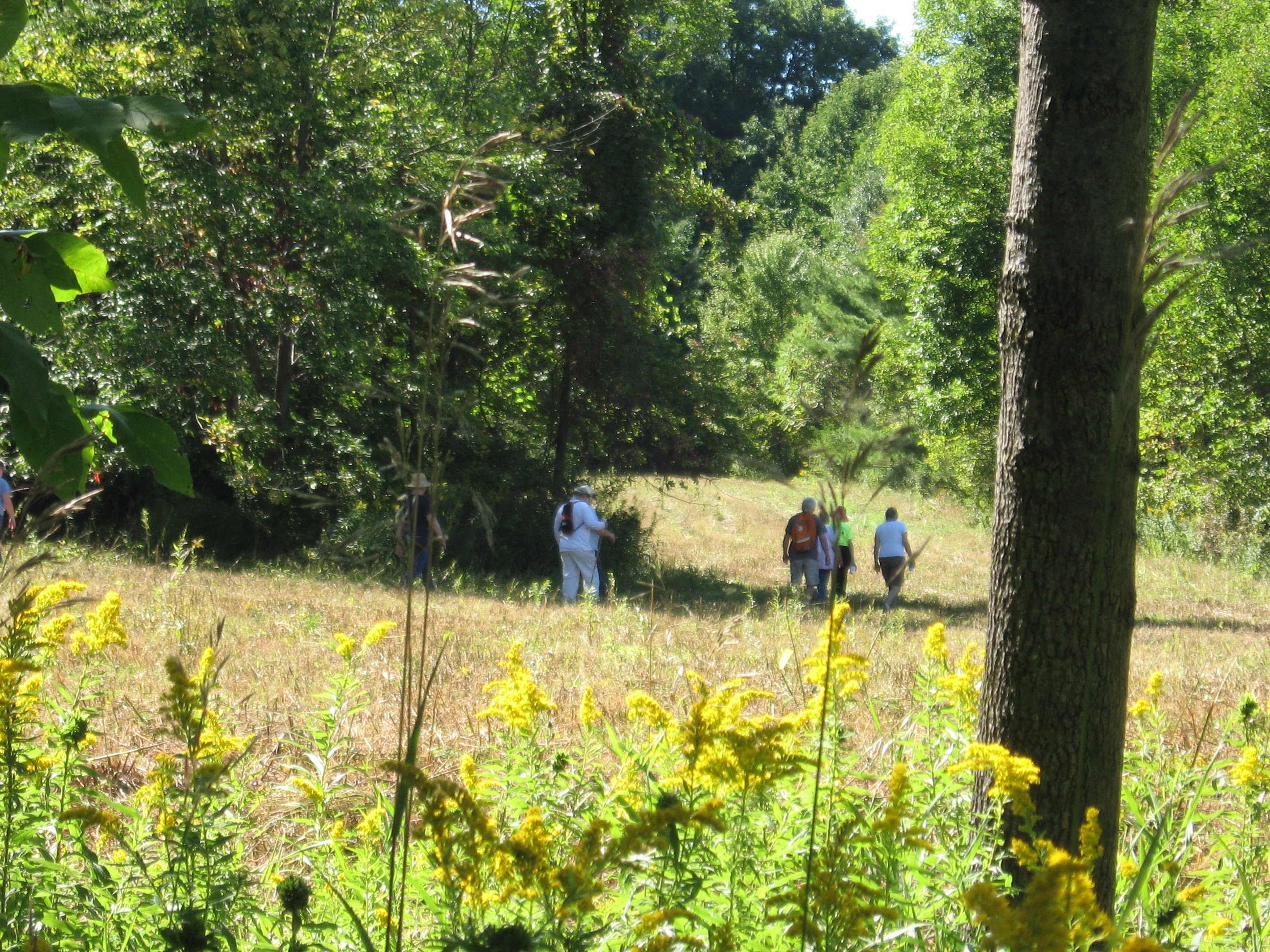
Hey, the weather predictions were correct – there is snow on the ground and the temperature at 9:00 is only 29° with a predicted high of 33, so we are cancelling the bike ride. BUT, we are hiking, so put on your orange vest and your hiking boots and come enjoy East Springwater by foot!
This Sunday we are offering something different – a bike or hike. (Well, maybe not so special since we are only hiking.) Come enjoy East Springwater either at a walking or a riding pace, according to your preferences.
This hike/bike is a part of the Bicentennial Celebration of Springwater.
Before we start, three cautions:
- This hike will start at our regular winter time of 2:00PM
- If you are hiking please wear orange or another bright color. This will be the second day of regular deer hunting season.
- If the temperature is below 40° then we do not plan to ride. .If you are unsure, please check the website Sunday at noon.
All hikers and bikers will meet at the barn at Punky Hollow near the corner of Pardee Hollow Rd and Tabors Corners Rd in Springwater. As always, please park carefully, as this is private property. Following the hike/bike, please join us for a social at John Larysz’s house. Bring a dish to pass and your beverage, or make a contribution ($5) to the social fund. Thanks John and Sue for volunteering your home.
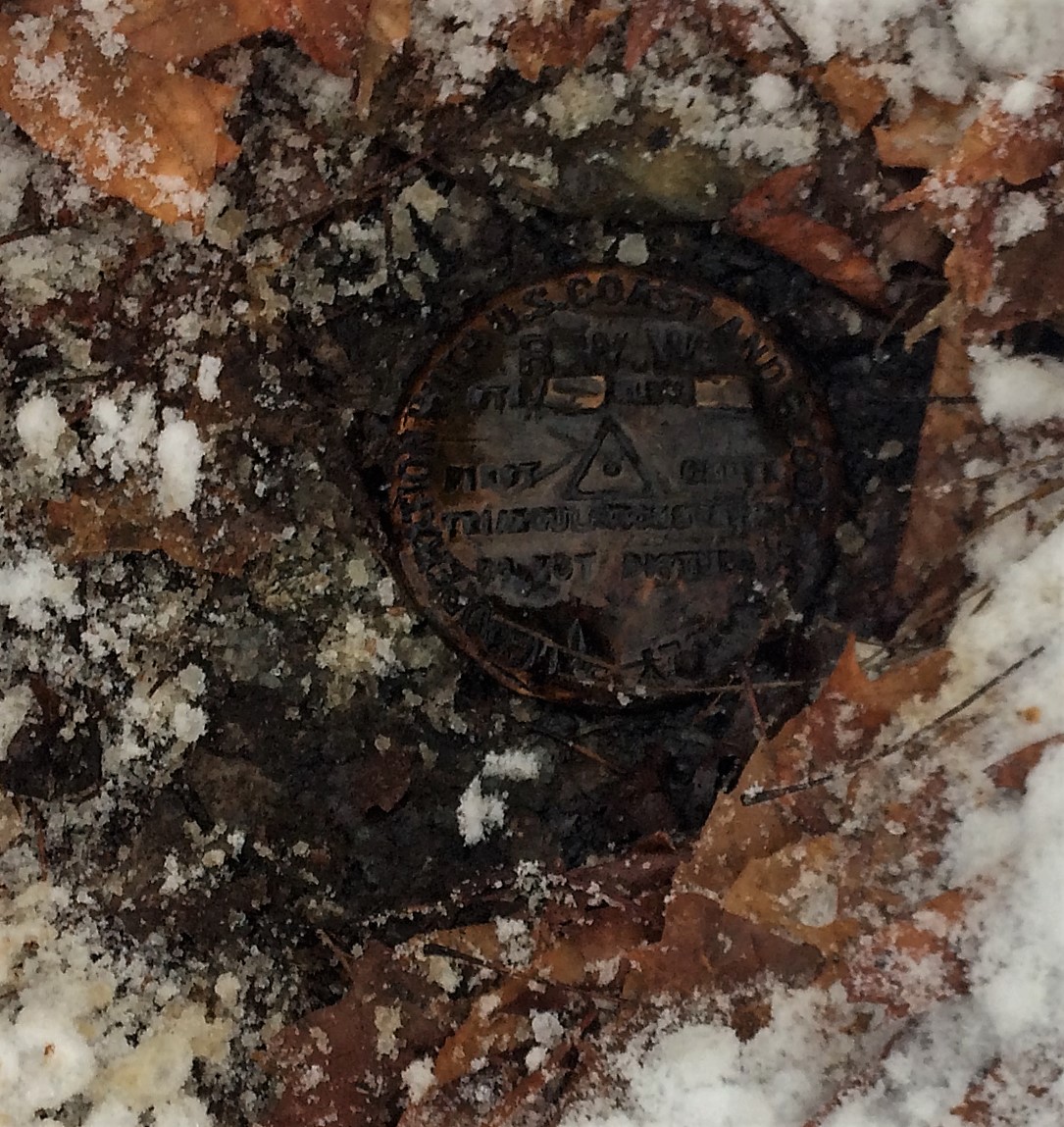
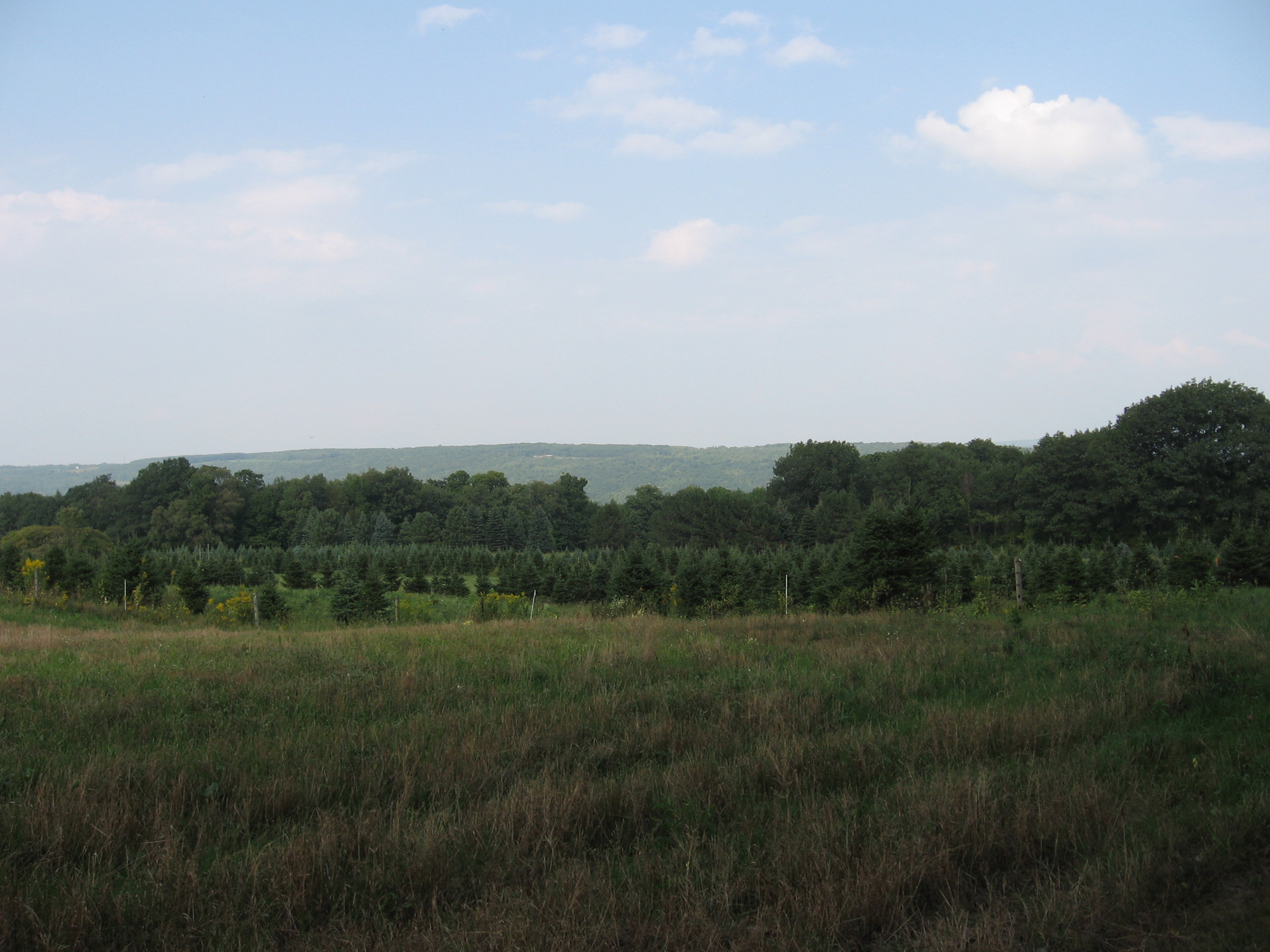
Hiking above East Springwater
Hikers will hike on Punky Hollow trails. Based on the number of hikers, we will have one or two groups, both of which will follow trails through the woods to the top of the hill to look down on the Cohocton Creek and on Dutch Hollow. As time permits, we will explore the hill top and then return to the cars over a different trail.
Biking Dutch Hollow and Tabors Corners This hike is canceled due to the weather!
Dust those cobwebs off your bike and pump up those tires. Prepare to enjoy the hills of Tabors Corners on two wheels. Yes there will be a few elevation challenges on this ride. We will travel at a leisurely pace, but be prepared for some lovely scenery and a good workout.
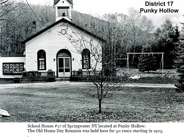
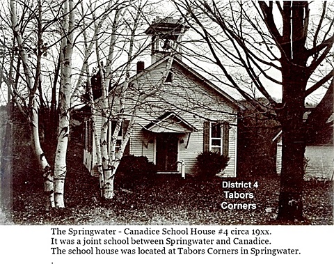
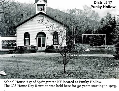
This ride will pass two former school houses in Springwater. Keep your eyes open to School #4 at Tabors Corners and Wetmore, and School # 17 on Pardee Hollow just before the end of the ride.
 Bikers will meet at the Punky Hollow event building (site of the Fiddlers’ Fair), on Pardee Hollow Rd., ready to ride at 2:00 PM. Riders will head west on Pardee Hollow then north on Tabors Corners Rd. At the junction of Wetmore Rd. we will head north for another mile to reach the town line of Springwater at Tibbals Rd. From there we will head back south on Wetmore turning south on Tabors Corners Rd. The ride continues to Dutch Hollow Rd., which we will follow for about 4 miles back to Pardee Hollow, Turning right we will have a nice downhill cruise back to the parking area. Total distance is 11 miles.
If it the road is snow covered or the temperature is below 40 degrees the ride will be cancelled and we will walk with the hiking group.
Directions:
From Springwater: Head north on NY 15A from the light in Springwater. Take the first right onto Wheaton Hill Rd. At the Tee at the top of the hill (3.4 mi), turn right onto Wetmore Rd. In 1.2 mi, at the stop sign, turn right onto Tabors Corners Rd. Take the first right in 1.8mi onto Pardee Hollow Rd. The Barn is on the right. Park in the driveway at the far end of the barn, or along the side of Pardee Hollow Rd.
From Wayland: Head east on NY 21 from the intersection with NY 15. in 3 miles, turn left onto CR 37. The road sign says Bowles Corners, although the road name is Tabors Corners. In 3.6 miles, turn right onlo Pardee Hollow Rd The Barn is on the right. Park in the driveway at the far end of the barn, or along the side of Pardee Hollow Rd.
From Honeoye: Head west on NY 20A. Turn left (south) on CR 37 at the Valley Inn. Continue staight onto Canadice Hill Rd in the hamlet of Canadice. In 2.4 miles, Ross Rd goes off to the right, but stay straight to stay on Canadice Hill Rd. .In 2.4 miles of dirt road, the road enters Springwater and the name changes to Wetmore Hill. Continue straight on Wetmore Rd. At the stop sign after going over the hill, turn right onto Tabors Corners Rd. Take the first right in 1.8mi onto Pardee Hollow Rd. The Barn is on the right. Park in the driveway at the far end of the barn, or along the side of Pardee Hollow Rd.
The after hike social at John’s, is just a few turns away on French Hill Rd. Directions will be available at the hike.

 The Town of Springwater was formed by an act of the Senate and Assembly of the State of New York on April 17, 1816, with an effective date of “the first Monday of April next” or April 7, 1817. The first town meeting was held on April 9th, 1817. Elected at the first meeting were a Supervisor, town clerk, 3 assessors, 3 commissioners of highways, 3 school commissioners, 2 overseers of the poor, 2 school inspectors, a constable, 11 path masters who also served as fence viewers, and 2 pound masters. Several men served in multiple posts.
 An Atlas of 1872 shows that many of the current roads in the town were well established 55 years after the creation of the town. Click on the image for a full size copy of the atlas page.