A combination of the expectation of another hot, sunny Sunday and relaxing last week on Hemlock lake, plus the frustration of trying to find a pleasant hike from Reynolds Gull to Wheaton Hill Trails, has caused a change in our Sunday Bicentennial Hike.
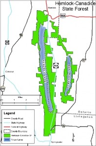
 This Sunday, we will take advantage of Canadice Lake, the smaller of the two undeveloped Finger Lakes north of the town of Springwater. Prior to the purchase of the land around these lakes by the City of Rochester, Canadice was known as the lake with cottages for the “locals”, while Hemlock catered more to the city folk. In celebration of the Springwater Bicentennial, the Hikers will take some extra time to explore some cottage foundations remaining on the west side of Canadice Lake.
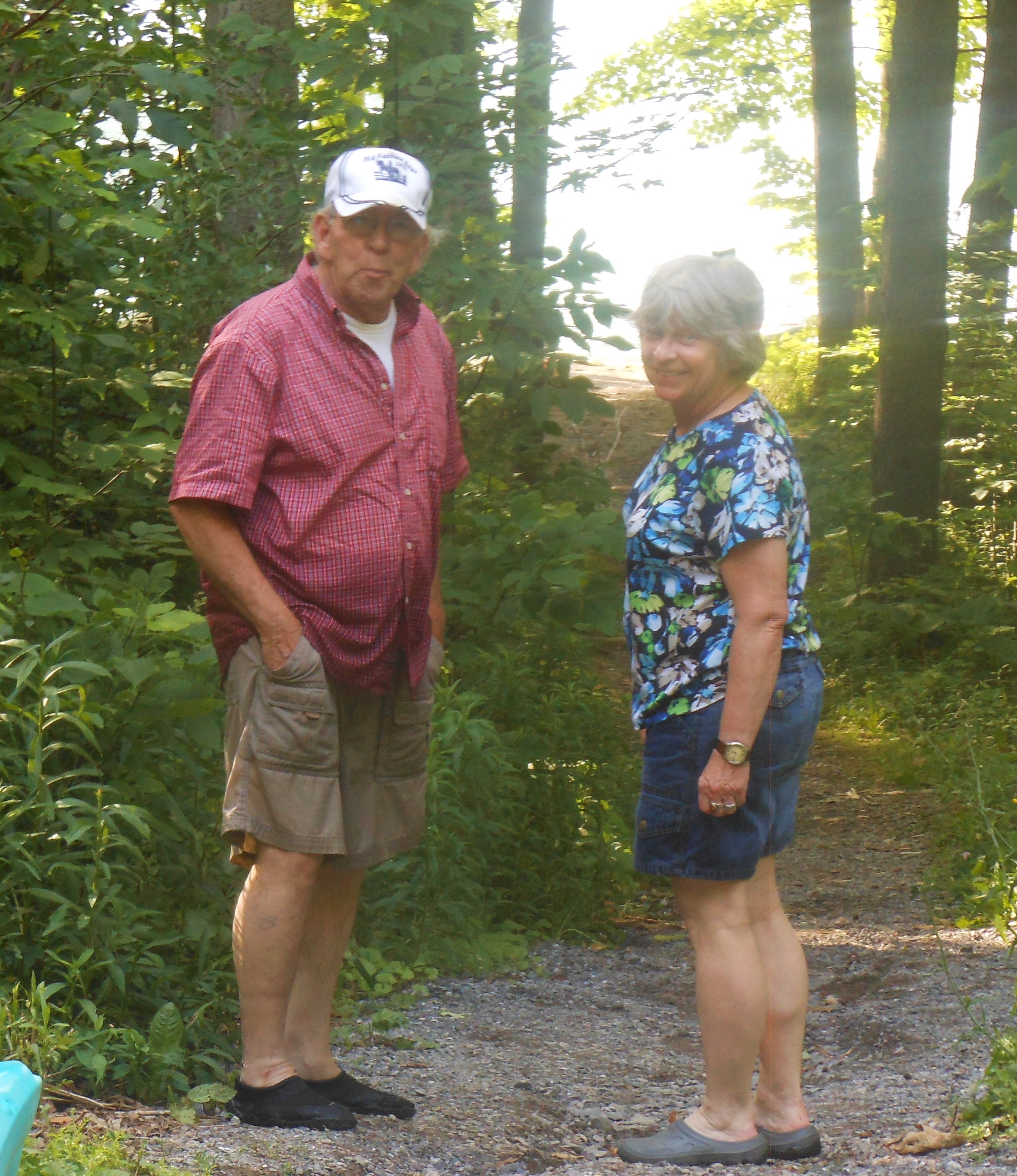
We will all meet at the Canoe Launch near the south end of Canadice Lake. Boaters should arrive by 3:30 to allow time to unload boats and transport them to the lake. Following the hike and boating, we will have a Dish to Pass social at the Canoe Launch. Bring a dish to pass or make a donation to the Social Fund. Also bring your own beverage.
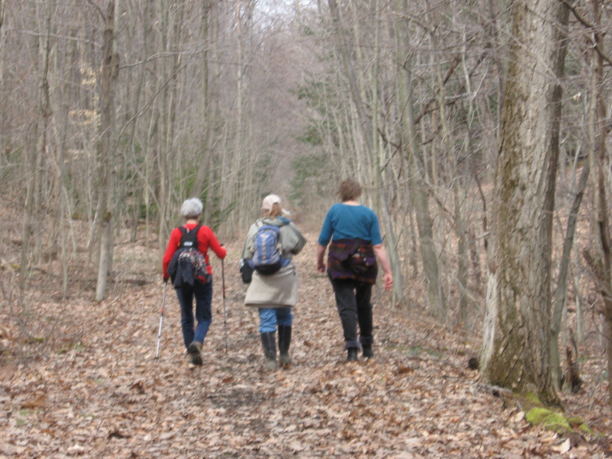
 Naturalists and Tourists will car pool to the south trail entrance and will follow the trail to the west side of the lake and up the west side. Checking the time, they will turn around to return to the cars and the canoe launch at 6:00. Climbers preferring a longer one way trip, will car pool to the north end of Canadice and arrange for a ride back with the Naturalists at the end of the hike. This trail is wide and fairly flat, allowing all hikers to enjoy the lake.
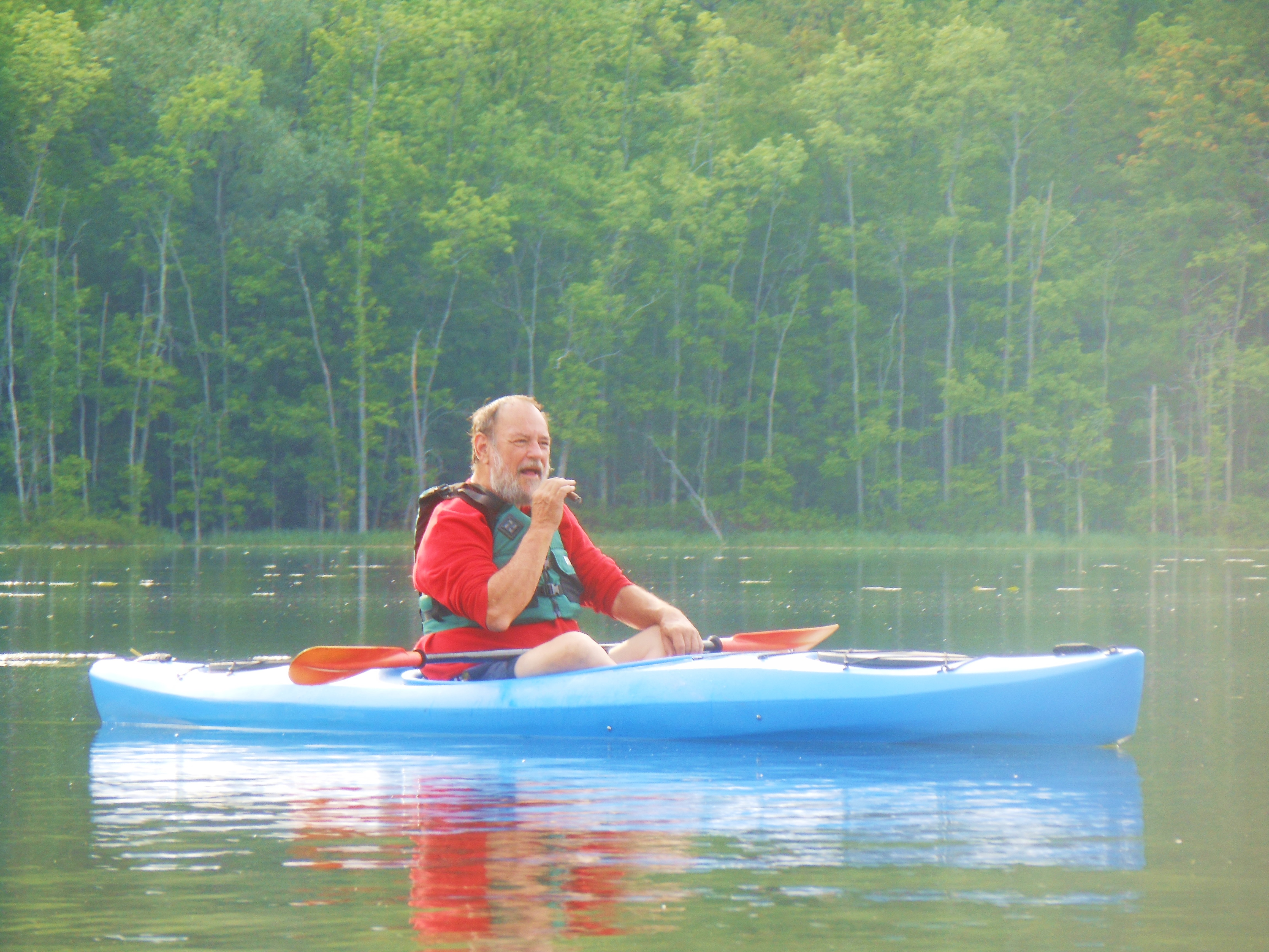
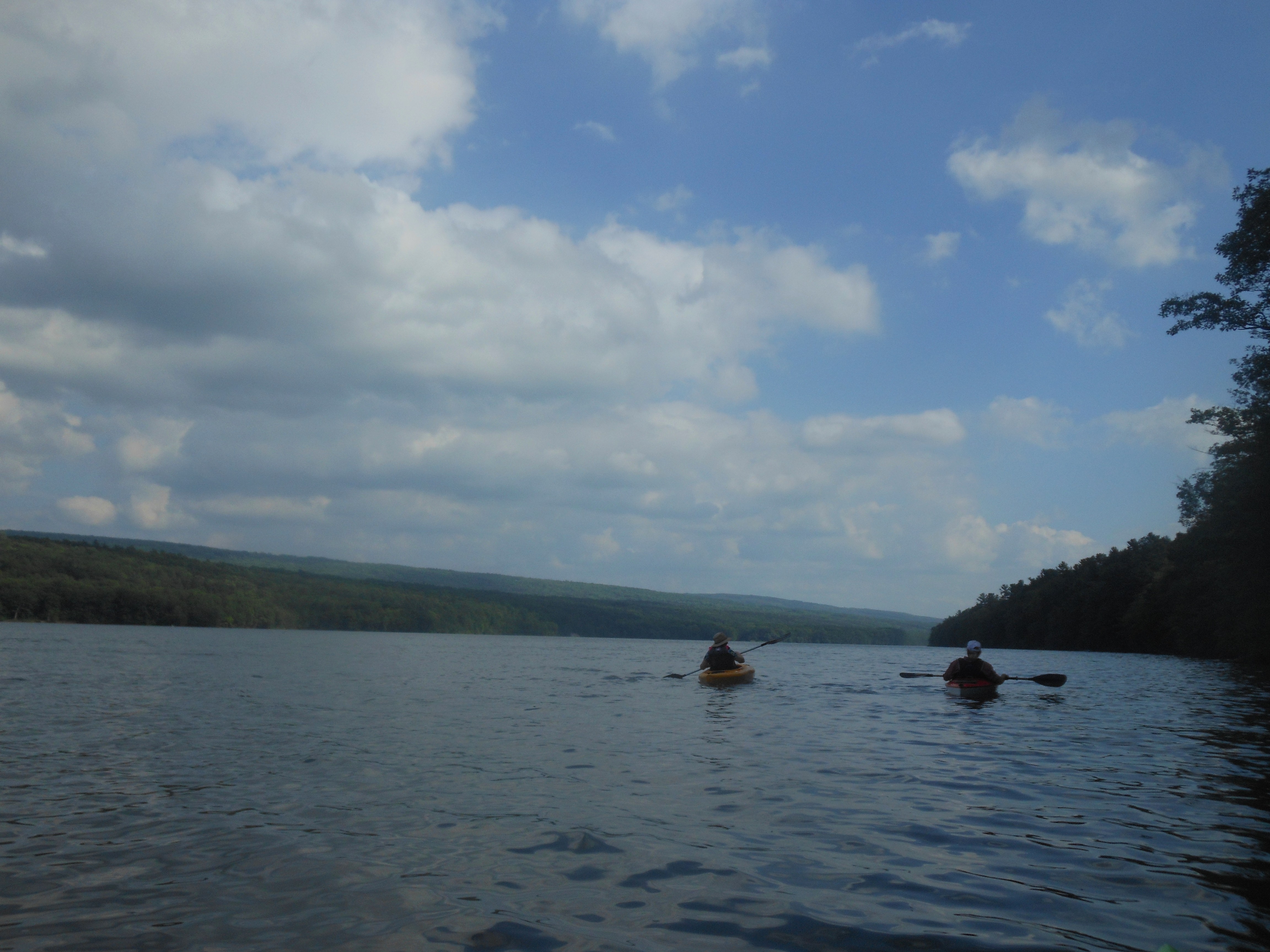
Boaters will launch from the Canoe Launch and will head North along the shoreline to the boat launch, about a mile and a half. From there, we will head across the lake to return south to the canoe launch for a 4 or 5 mile trip.
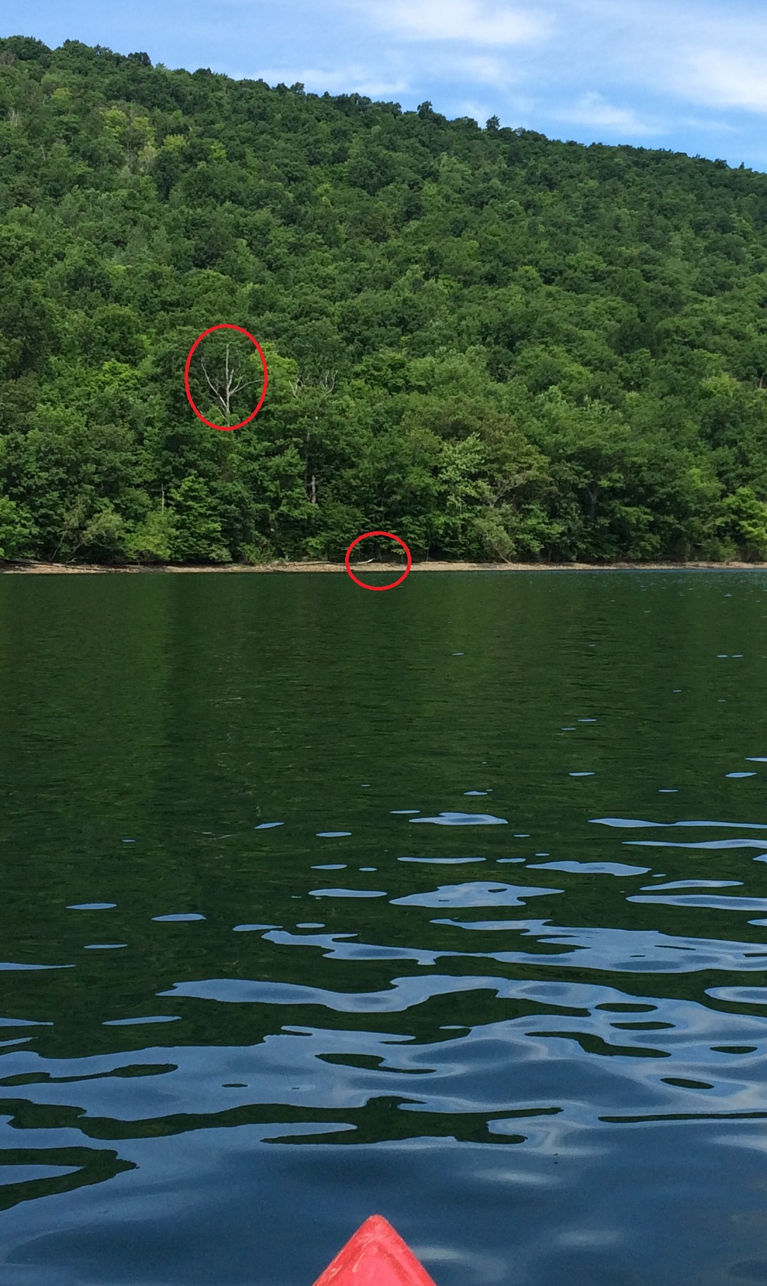
Suggested landing area for trading kayak paddlers.
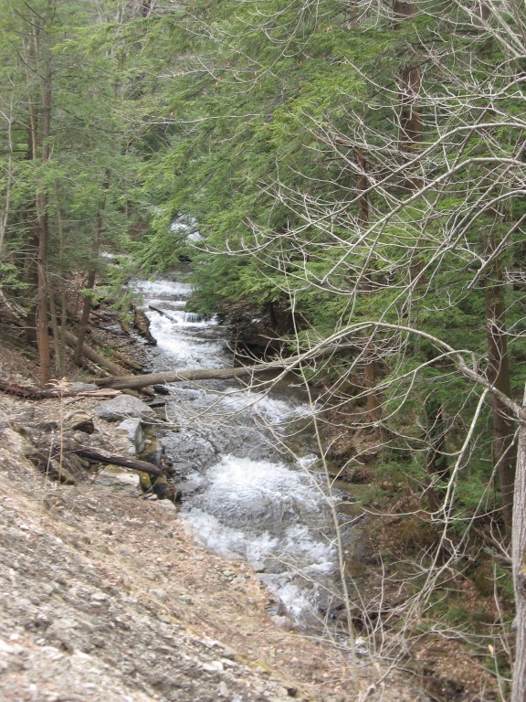
A special suggestion: Boaters and Hikers may want to pair up, with one starting with the hikers and meeting the kayaker on the west side, where they can switch roles. With the low water level this weekend, landing is quite easy – the suggested location in the picture to the right is slightly north of the canoe launch. You can see the white tree above the landing area from the launch. The path from the hike route to the water is marked by yellow tape. More information will be available at the start of the hike.
Directions: Click on Directions for detailed directions, or on the starting points below for Google directions.
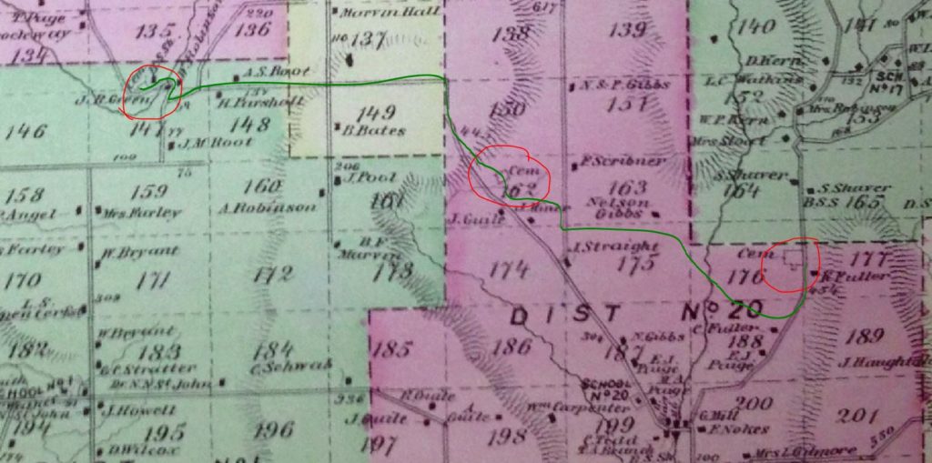
 From Springwater: Go North on 15A for 2.7 miles. Bear right on Old Bald Hill Rd S and then an immediate right on Johnson Hill Rd. Take the first left onto Canadice Lake Rd. The Canadice Canoe Launch is 1.8 miles north of Johnson Hill Rd.
From Honeoye: Take Co Rd 37 South from 20A, Turn right after 3.7mi to stay on Co Rd 37. Stay straight onto Burch Hill Rd. At the lake, turn left onto Canadice Lake Rd. The Canadice Canoe Launch is 2.1 miles south of Burch Hill Rd.
From Hemlock and Rochester: Take NY Rt 15A south from Rochester through Lima and Hemlock. Just past Hemlock, Rt 20A goes left. Continue straight on 15A for 3,2 miles after 20A. Turn left on Purcell Hill. At the end of Purcell Hill Rd, turn right onto Canadice Lake Rd on the east side of the lake. The Canoe Launch is 2.9 miles south.