Hiking and swimming, Cohocton Town Park, August 3, 4 PM

This Sunday, our activities will be based in Lawrence Parks Town Park, on Atlanta Back Rd., in Cohocton, where we will meet, in the parking lot, at 4 PM.  There is an admission charge for the park of $1.00 per person.  When you pay, you will receive a ticket.  If you leave and return, show the ticket, and you will not have to pay again.  One admission includes use of all of the park’s facilities, such as pool, bathrooms, picnic tables, hiking trails, etc.

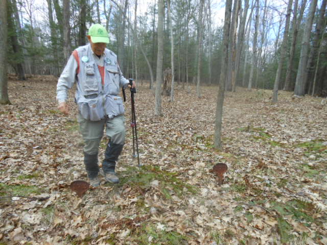
For those who want a good hiking workout, Marty will lead a car pool caravan to the nearby Tumble Hill Campground.  There, he will lead a hike, up a hill, where, at the summit, you will see, up close, one of Cohocton’s wind turbines.  We did a similar hike in December but, because it was a week before Christmas, only a few of us were able to attend.

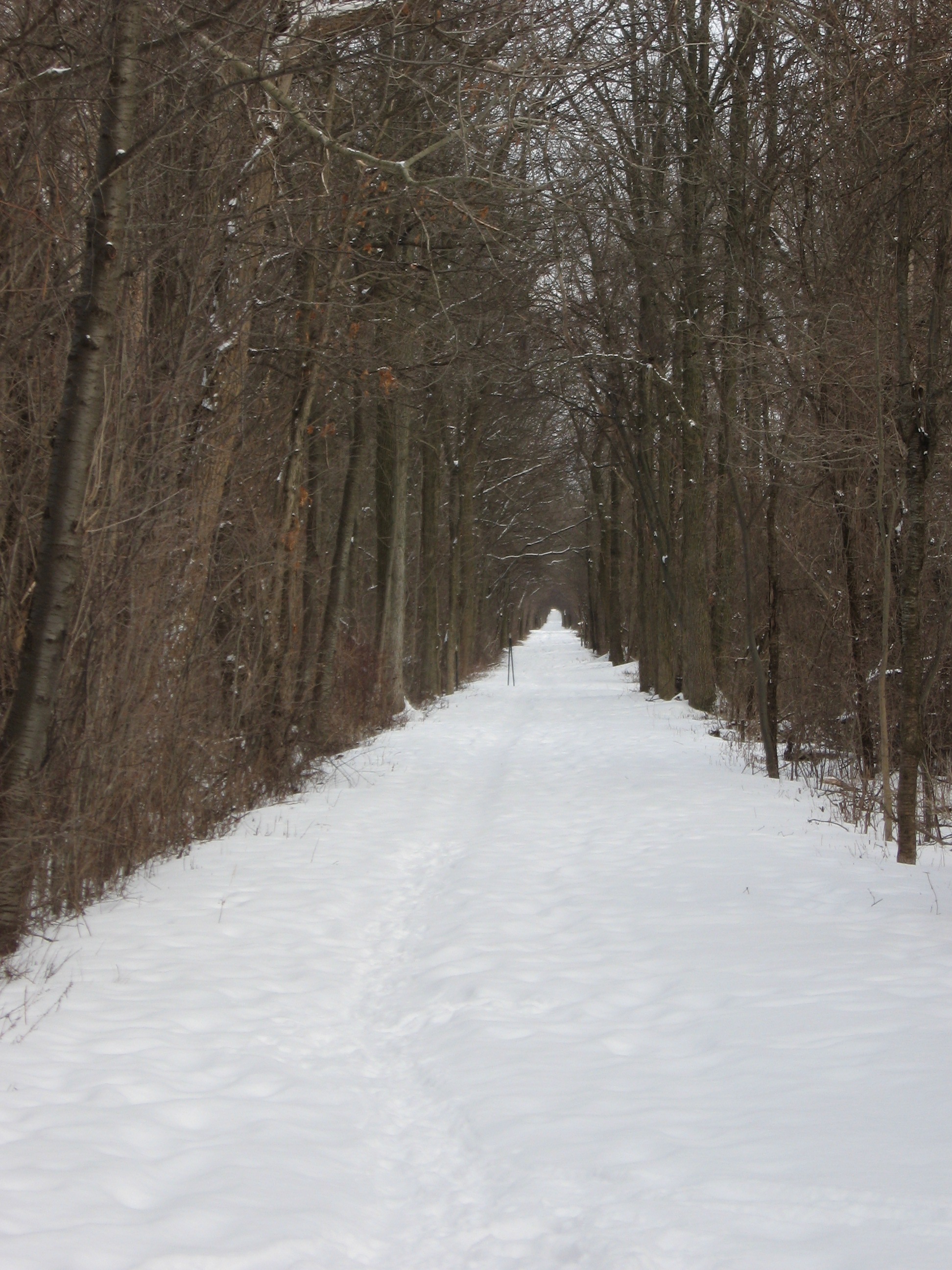
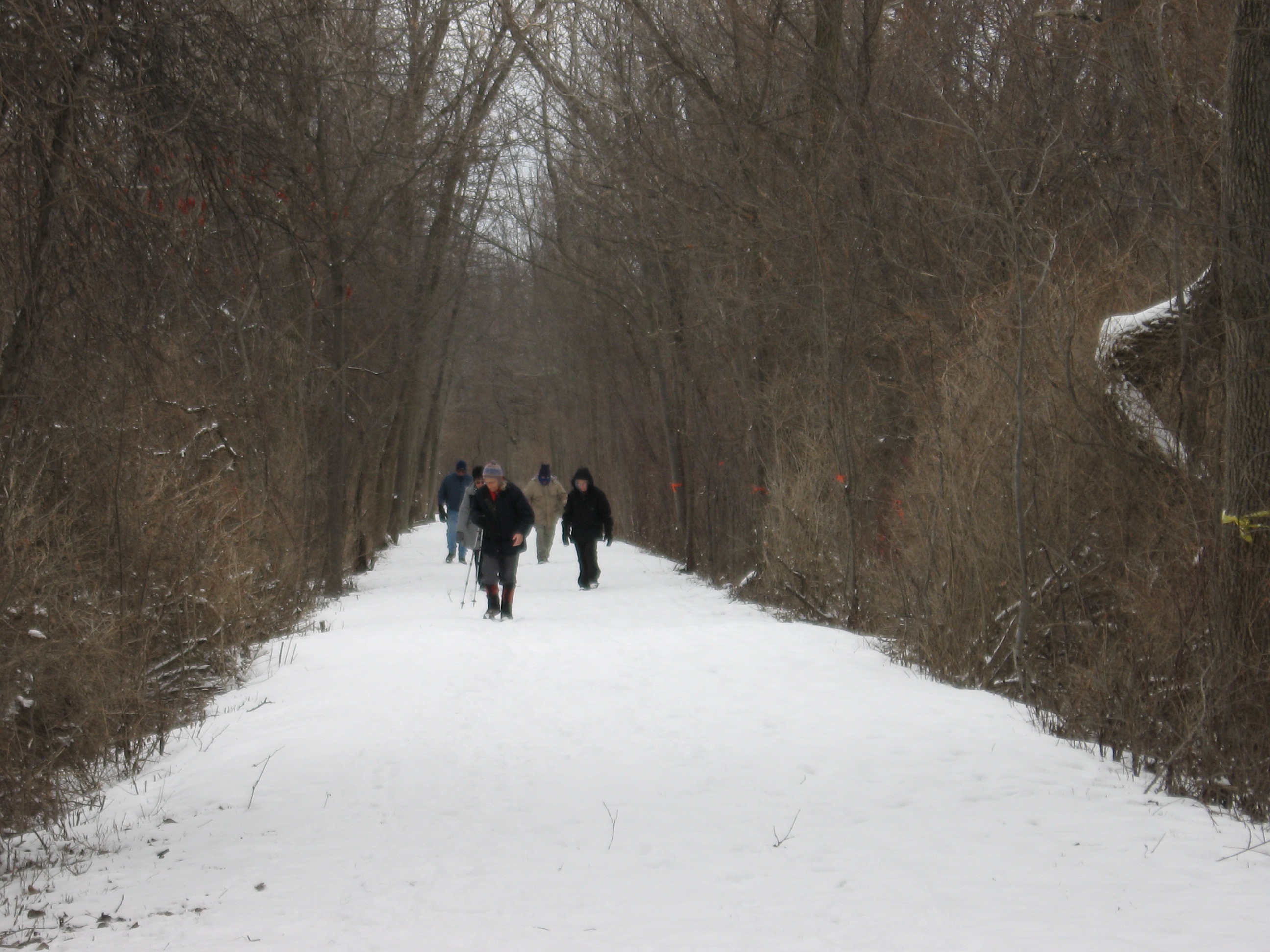
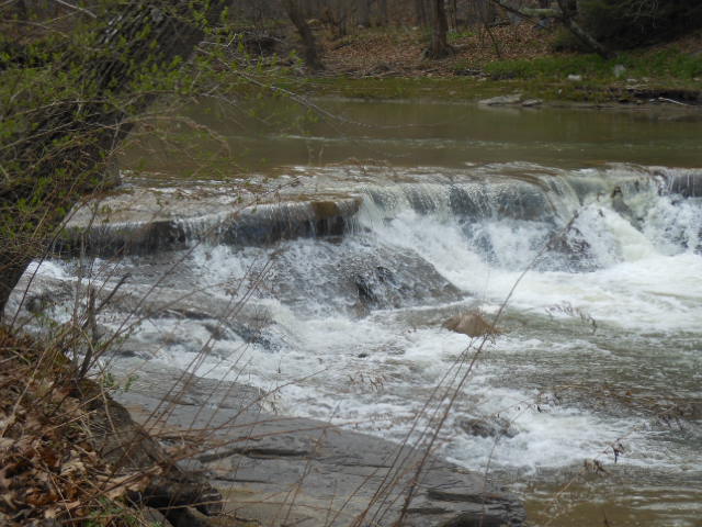
For those of you who prefer something more leasurly, Gene will lead a nature walk on the trail in the town park.  Another option, if the day is hot and sunny, you can get your Sunday afternoon exercise with 2 hours of lap swimming, in the pool.  We had hoped to offer a kayaking option on the Cohocton River but, unfortunately, the water level is too low this late in the summer.  If you like this location, we’ll try it again next summer, this time perhaps in June.

Optional after hike social will be a picnic at the town park.  Bring a dish to pass or make a donation.  If it’s hot and sunny, you can first cool off in the swimming pool.  If you think you’d like to do this, be sure to bring your swim wear.  They have a bath house, with changing rooms and flush toilets, for our use.  The park has 3 pavillions and, although all 3 have been rented for that weekend, if any are vacant at 6 PM, we can use it at no charge.  If they’re all still occupied, and it’s not raining, there may be some vacant  outside tables.  You might want to bring folding chairs and tables, if needed.  If it’s raining, and all pavillions are still occupied, we can always go to Atlanta for chicken and biscuits.

From 390, get off on exit 2.  Left at the exit ramp, then right on Maple Ave (SR 415).  Left on SR 371 and left on Atlanta Back Rd.  The park is about a mile down, on the right.

Sonyea State Forest, 5/4/14

sonyea hike 050On Sunday, 5/4/14, 18 energetic hikers showed up at Sonyea State Forest.  This was a new location for our group.  The sky was partly cloudy and temps in 50s, making for pleasant, almost ideal, hiking conditions. Before hiking, we went, briefly, to a cemetery, across the road from the parking area.  During the 19th Century, there was a “home” for epileptic patients, on the site.  When a patient died, he was uncerimoniusly buried, with just his patient number to mark his grave.  One grave had a stone, with a name, probably put there by the family. sonyea hike 091But, we were here to hike.  Rick lead the majority of hikers along the west side of the forest, along the Keshequa Creek Gorge, mainly on a trail made from former Pennsylvania Railroad tracks.  Scenic rapids and falls in the creek could be seen, as well as canal remnants.  Rick deviated slightly from our prehike path, coming out of the gorge, but, all got back well, enjoying a nice Sunday hike, about 4 miles.

A field of Red Trillium

A field of red Trillium

3 of us hung back, starting out slowly, to try to identify the many spring flowers on the trail.  Among those in full bloom were hepatica, spring beauty, bloodroot, coltsfoot, blue violets, spring rue, blue cohosh, and both red and white trilliums.  Mayapples were identified, but not yet blooming.  There were huge expanses of daylilies, not in bloom now, but should be quite a sight in about a month.  Spicebushes were in bloom.  Too early for mushrooms but many kinds of last year’s polypores were seen.  We could have checked out lots more but had to keep moving to complete the 3.7 mile loop before 4 PM.

Our social was a picnic at the parking lot.  Turned out to be vegetarian but some very healthy and delicious choices.  In our discussion, it was noted how our group uses Sunday afternoons to maintain our health with vigorous exercise, followed by a nutritious and enjoyable meal.

Information on some future events: (keep up to date on our calendar)

Saturday, May 10:  We are invited to join the Victor Hiking Group for a hike at scenic Chimney Bluffs on Lake Ontario.

The hike will be 3 to 4 miles on varying terrain. Bring a bag lunch and something to drink. Dress for the weather and wear sturdy hiking boots. Meet in the rear parking lot at Victor Town Hall, 85 East Main Street at 9:00 a.m. to carpool to the trail head. Or meet at the park in the large parking lot off Garner Road at 10:00 a.m. Map

Additional details can be found by calling 585-234-8226.

Sunday, June 1:  On our scheduled hike for that day at the north end of Letchworth State Park, co-leader Don has arranged a special tour of the Mt. Morris Dam for our group, at 12:30.  A minimum of 20 participants is required.  Anyone interested in doing this most informative tour is asked to contact Don at [email protected].  You can also contact Don for information about the hike this Saturday at Chimney Bluffs.

Friday, May 9:  Anyone who would like to join Pam, and others, to help clear and work on the Springwater Trail, please come, with loppers and other tools, to the Sugarbush Hollow sugar house at 9 AM.

Someone is still needed to organize the hikes for the summer months of July, August, and September.

Volunteer committees are being organized to maintain the Springwater Trail, and the Letchworth Trail.  If you would like to help in any of these endevours, please reply to [email protected].

Sonyea State Forest, May 4, 2014, 2 PM

Ready to hike some trails that our group hasn’t hiked before?  Better bring your camera to this one.  Since we’ll be in turkey season, bright attire may be advisable.

This Sunday, we’re going to hike Sonyea State Forest in Livingston County, between Dansville and Mt. Morris.  The current size is just under 1000 acres.  Prior to acquisition by DEC, this area had been administered by the NYS Dept. of Mental Hygiene as an epileptic colony and state mental hospital.  Many remnants of the Craig Colony, the Genesee Canal and Pennsylvania Railroad will be seen on the hike.

We will meet at 2 PM at the large parking area, on the right, about 1/2 mile inside the park entrance.  Since this parking area is not well defined, we will try to get to it before 1:30, so you can look for us and our purple Mazda.  From exit 6 on 390, turn right (south) on SR 36.  Then, take the first right onto CR 72, aka Presbyterian Rd.  Follow it around, bearing right, to Union Corners Rd.  Turn right here and keep going, till our meeting spot.  This last road is unpaved, with lots of potholes, making for slow going so, consider this in planning your travel time.  From Springwater, you can also make your way west via Liberty Pole Rd., going straight across 36 onto CR 72.  From Rochester, and points north, follow above directions from 390, exit 6.

Following a brief visit to a unique cemetary near the parking lot, we will divide into 2 speed groups.  Rick will lead the ones who want to go faster and Georgia and Gene will lead the slower paced group.  During our April 24 prehike, many wildflowers were starting to come out, and could be in bloom, on this day.  We’ll try to identify as many as we can.  Nesting birds are back and singing away.  Many of them were identified by their unique song and some were seen.  A beautiful garter snake was also encountered.

Our hike will take us to the western side of the forest, where we will encounter the gorge along Keshequa Creek.  Within the gorge, we will see remains of the Genesee Canal and a major branch of the Pennsylvania Railroad, as well as rapids and falls along the creek.  Total distance, for the loop, is 3.7 miles.

After the hike, we will enjoy the return of warmer days with a picnic in the parking lot.  Bring a dish to pass, or make a donation.  Unlike last week, this time, all we have is a clear area so, bring folding chairs, and a table, if you have one.  There are no washroom facilities, not even portable ones, but lots of trees so, if drainage is required, boys to the left and girls to the right.  If the day should turn out to be a rainy one, the alternate plan is the Sunrise, in Dansville.


Ontario Pathways Rail Trail, Sunday, March 2

The trail headed eastLast Sunday, 10 hardy souls discovered something many active outdoor groups are doing, all across the country, converting former railroad beds into hiking trails.  The Ontario Pathways Organization has created such a 23 mile trail throughout Ontario County and Springwater Trails member, Georgia Binder, significantly contributed to this project.

We hiked a small portion of the western part of this trail.  Starting at the Ontario County Fairgrounds, and going east from there, one group hiked about 2 miles, the other, close to 4.  Mother Nature can be a sweetheart, if you don’t try to fool her with margarine.  The touristsThe night before, she gave us a couple of inches of snow, which gave us just enough traction so we didn’t have to try to keep our balance, walking on the bumpy ice beneath.  Also, although the temperature, at hike time, was about 15, she held the wind down, making a most pleasant winter hike.  Among the observations was a groundhog burrow, woodpecker nest holes in trees and last summer’s polypore mushrooms.

After the hike, most of us went to the Beehive Bar & Grill in Canandaigua where many enjoyed a sample from the wide selection of beers, and their nice dining menu.

IMG_0521Around Halloween, those of you with young grandkids, might think about taking them on the great pumpkin walk, on the trail portion between Routes 10 and 46.  Members of OP carve real neat original jack-o-lanterns, and place them at intervals along this section of the trail.  The small admission charge you pay is used to maintain the trail.

Remember your little job next Sunday, or you’ll be an hour late for the hike.The trail goes across farm fields.