Latitude/Longitude for navigation and your GPS unit

Information herein about Latitude and Longitude coordinates applies for use with a GPS unit, whether using in road travels or hiking.  The info also applies for map reading (and map & compass pursuits).  Herein is an easily explained primer about Latitude and Longitude.

Many folks these days refer to latitude and longitude coordinates as GPS coordinates or GPS coords (or GPS cords) for short.  They also can be referred to as map coordinates, and have been so long before the advent of the GPS unit.  (GPS is an abbreviation for Global Positioning System.)

[ For mindset, an example of a listing of latitude and longitude coordinates is:  42.637310, -77.596007 ].  This coordinate notation method utilizes degrees in a full decimal notation or format.

[The same locale listed differently (using degrees ° , minutes ‘ , seconds ” and a decimal included within seconds) is: 42°38’14.3″N 77°35’45.6″W .  For sake of ease for right now, let’s stick with the full decimal form of degrees (which has 6 decimal places s listed above) for our first identification of latitude and longitude.]

In coordinates, latitude is listed first (and then longitude), so consider the coordinate listing system as alphabetical. And if you use the mnemonic “changes in latitudes, changes in attitudes”, as Jimmy Buffet proffers in his song, you can remember that changing of seasons and temperatures is associated with latitudes (thus further north or further south). Continuing further explanation, alphabetically North comes before South, and likewise North is over South, thus the southern hemisphere (southern latitudes) being below the equator has an assigned minus (-), while the northern hemisphere (northern latitudes) where we in New York & all of the US are has no preceding minus (-) in latitude.

In coordinates, longitude is listed second (read last). In longitude, the US is in the minus (-) half of longitudes, it lies west of the Prime Meridian. (The Prime Meridian is an imaginary north/south axis line labeled as longitude zero; it passes thru Greenwich, England the site of the Royal Greenwich Observatory.) Being that the continental US (and Hawaii, most of Alaska, and North & South America) lies to the West of the Prime Meridian, the US is in the western hemisphere and considered West Longitude. Again alphabetically, East is before West so logically the latter (West Longitude) gets a minus (-) assigned to it in longitude, while East Longitude (think Europe, Asia, Africa) has no preceding minus (-) in longitude.

What lies 180 degrees, half way around the globe from the Prime Meridian, you ask? Well, it is the antimeridian aka the 180th meridian aka 180th parallel. What about the “International Date Line” (IDL)? Well, the IDL roughly approximates the antimeridian, but deviates to pass around some island groups and territories. No time herein to start talking about “time zones”, but there are commonalities to meridians. What about Greenwich Mean Time (GMT)? Yep, related to that Prime Meridian, but again not talking about it herein.

Close to home, utilizing this latitude/longitude coding system in degrees and decimal, the “four corners in Springwater, NY” can be represented as approximately 42.637310, -77.596007   This decimal notation is but one of a number of ways to code latitude and longitude. Utilizing degrees, minutes, and seconds of measure is but another, and it is this system (degrees, minutes, seconds) that is more likely utilized on a traditional paper map.

You can see the latitude/longitude system as a type of grid. Visualizing can make for easy, “ah-ha” understanding. Cropped from an article, the latitude/longitude grid of the continental US (below) may help you to easily identify with the concept. The cropped segment is provided chiefly for viewing the grid, but if you wish you can take up on the accompanying prose, and even take a look at the article in entirety. The prose accompanying this grid does not utilize decimal listing of lat/long, it uses degrees, minutes (‘), and seconds (“). The decimal listing of lat/long is most easily utilized in a GPS unit geared toward driving destinations.

If you know more than you did before reading this segment, Great!, … and now you can consider it as a primer for when S/T hikes may utilize navigational coordinates (aka Lat/Long coordinates, aka GPS coordinates), … perhaps a future hike with a Geocaching or Orienteering component.

—- cropped segment of an article (below), including the lat/long grid of the US —-

It is worth taking a few seconds to memorize the following numbers. It will help you to use latitude and longitude more effectively:

1 degree = 70 miles
1′ = 1.2 miles
1″ = .02 miles
united-states-latitude-longitude
Example:
Los Angeles
34° 3′ 8″ N / 118° 14′ 34″ W
34 degrees 3 minutes 8 seconds North / 118 degrees 14 minutes 34 seconds West
The map shown above only shows the major degrees. However as you can see, even the coordinates 34° N / 118° W will enable you to sight fairly quickly on the map where Los Angeles is located. If we had a map which indicated ‘minutes’, then you could distinguish down to approximately a mile. If the map indicated “seconds”, then you could pinpoint the exact center down to approximately 100 feet. Think of it as grids within grids… It’s just a matter of having the right map which overlays latitude and longitude down to the resolution that resolves for your purpose.


Springwater Trails, Inc. Annual Meeting – March 15, 2015

We will start the third Springwater Trails Annual Meeting at 5:00 during and following the Hike Social.  The agenda for this years meeting will be:

  • Review of Springwater Trails activities during 2014.
  • Bylaws amendment vote (See below).
  • Election of Executive Board members for 2015.
  • Announcement of a Trail Construction Committee, a Trail Maintenance Committee, and the Social Supplies Committee
  • A trek to Nepal – A talk with personal photos by Melissa Cohen

PROPOSED BYLAWS AMENDMENT

The Executive Board has recommended the following amendment to the Springwater Trails Bylaws, Section II paragraph 3 by adding the additional subparagraph 3.6 to read

3.6    Individuals, who have served the organization as an active committee member on a committee (including the Social Supplies Manager) established by the executive board for a full year term, shall be granted an honorary individual membership to the organization for the following year.

NOMINATIONS FOR EXECUTIVE BOARD 2015

In accord with the Bylaws,  the election of officers to hold the positions of President, Vice President, VP of Hiking, Secretary, Treasurer and Trail Master will be held at the Annual Meeting at the Springwater Center in Springwater, NY.  The term for these positions is one year with no limitation on re-election. The slate of candidates is:

  • President:  Mark Hopkins
  • Vice President:  Eugene Binder
  • Vice President of Hiking:  Wendy Stevenson
  • Trail Master:  Rick Henchen
  • Secretary:  Katherine Humphrey
  • Treasurer:  Melissa Cohen

Members may vote for one candidate in each position above.  Family memberships allow two individuals in the family to cast a ballot. For a given officer position, the winner is the candidate with the most votes. Voting may be completed with an email to the chairman of the nominating committee at [email protected] or in person at the Annual Meeting.

Hiking Lower Rd in Naples

IMG_1643
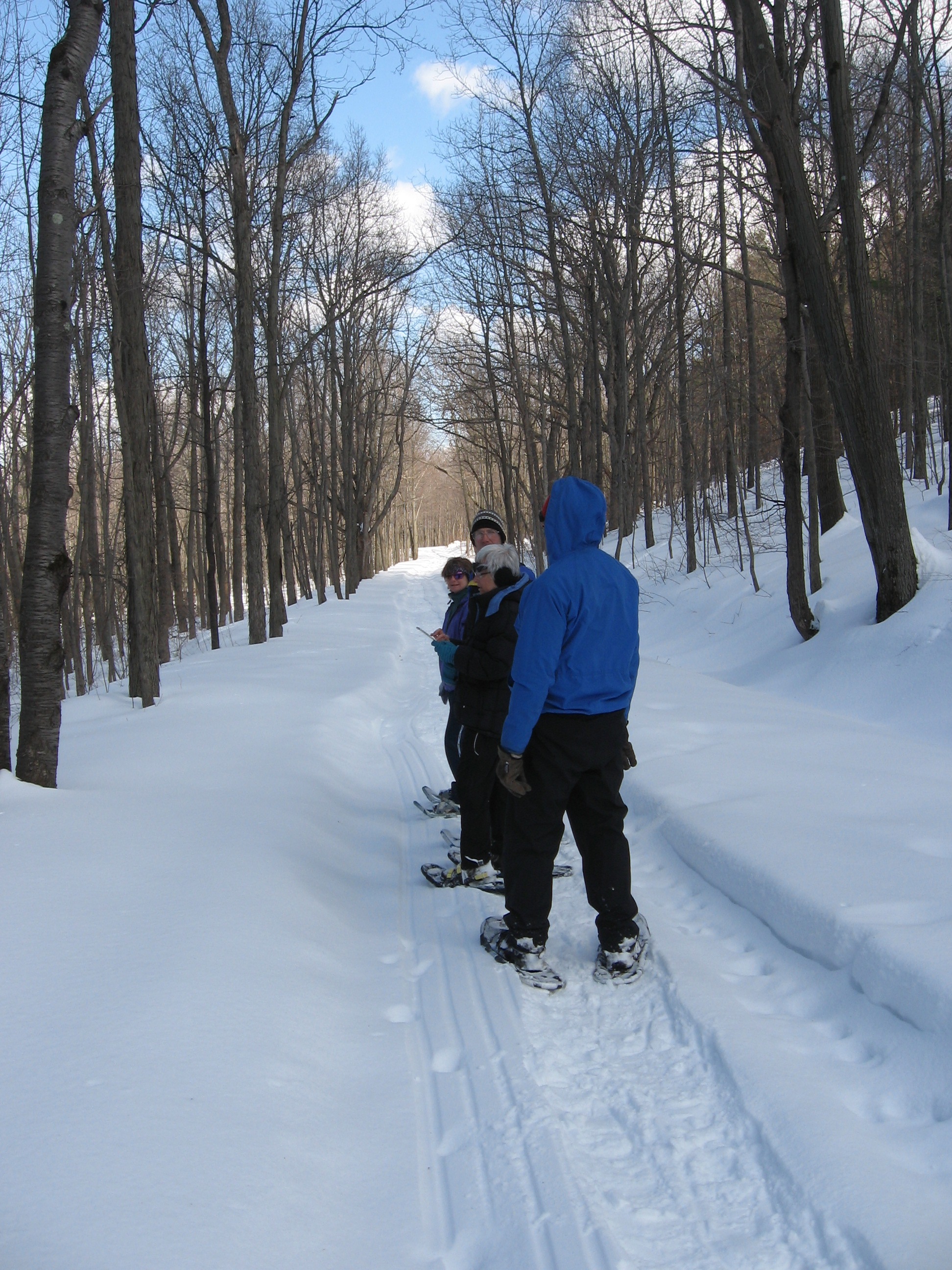
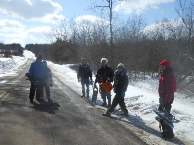
On Sunday, Pam led us around the neighborhood of Lower Rd in Naples.  We had the opportunity to use our snowshoes without needing to break a new trail, and we saw the views on top toward the north.  Thanks to Char,Pati, and Pam  I can share some pictures.

IMG_1644The Naturalists, Tourists, and Climbers started out headed east on Lower Rd. Once the Naturalists warmed up, they hiked back to Parish Hill Rd and climbed the steepest part of that hill. Looking behind, they saw a good view of Clarks Gully where we hiked last summer when it was warmer. Thanks Barb for leading.

IMG_0882Meanwhile the tourists and climbers continued to snow shoe across the seasonal portion of Lower Rd, catching glimpses of the varied hunting cabins along the road while following a mysterious sled print.

IMG_0885At Shay Rd, we took off our snow shoes and turned right to “go around the block”.  Walking on the road made conversations a bit easier, allowing for an in-depth discussion of the spectrum, color perception and primary colors.  With the beautiful blue sky, we were able to see many landmarks in the valleys north of Naples. We identified at least two places to hold our next outdoor social next fall.

Thanks go out to Barb Baker and her dog, Mandy for hosting our social.  A fantastic meal was devoured by all, connections were made, and everyone enjoyed catching up.  What a beautiful day to enjoy the back roalower road hike 020 lower road hike 015 lower road hike 013 lower road hike 009 lower road hike 006 lower road hike 001ds of Hi-Tor in Naples.

IMG_0889

Maple Weekend at Stoney Ridge Farms

Once again, Springwater Trails will be providing the Pancake Breakfast for Maple Weekend at Stoney Ridge Farms in Farmington.  We hope all friends of Springwater Trails will join us for breakfast on the last two weekends of March.  We will be serving from 10:00 to 3:00 each day.  Suggested donations: $7 for adults, $5 for children.

Volunteers are welcome to work at the grill for a day.  Since Springwater Trails will be leading hikes on the two Sunday afternoons, non-hikers may want to volunteer for those afternoons to ensure we have enough volunteers.

For best results, we are looking to staff six positions each day.  Most volunteers will be working from 9:30 to 3:30 but we can be flexible with your schedule.  We will be rotating jobs during the day according to needs of the volunteers, but are looking for the following positions:

The jobs

Host/Hostess – Welcome customers and handle donations.

Pancake Cook – Cook pancakes and manage the kitchen.

Assistant Cook – Mix pancakes and cook sausage.

Server – Serve pancakes and sausage to customers.

Coffee – Manage the beverages

Clean up – Keep facilities clean – wipe tables, help with coffee.


Directions

From the South

From Route 332 in Canandaigua, turn right on County Road 28. Go 7.6 miles. Stoney Ridge Farms is 1 mile past thruway overpass on right. Turn right on Rushmore Road and park.

From Honeoye, Follow US 20A E for 7 miles.  Turn left on NY 64 for 3.7miles.  At the light, turn right on US 20. After 2.9 miles, bear left onto Buffalo St Extension.  In 2.6 miles, turn left on Rt 332 (N Main St).  In a half mile, turn right on North St (CR 28) for 3.7 miles.  Turn right on Rushmore Rd and immediately into the Sugar House parking area.

From the East

From Thruway Exit in Manchester, take Route 21S in Manchester to Rt. 96N. Go 3 miles, turn right on County Road 28, go 2 miles to Stoney Ridge Farms, turn right onto Rushmore Road and park.

From the West

From 490E, take last exit to Rt. 96S in Victor. Follow Rt. 96S, 8 miles to County Road 28, turn left. Go 2 miles to Stoney Ridge Farms on right. Turn right on Rushmore Road and park.

From the North

From Fairport and Palmyra take Rt. 31. Turn on to County Road 28(Macedon Rd.) Follow to Rushmore Road, turn left and park.