Trail Building – Schribner Rd – Sunday September 21 – 2:00PM

Building a trail - October, 2013

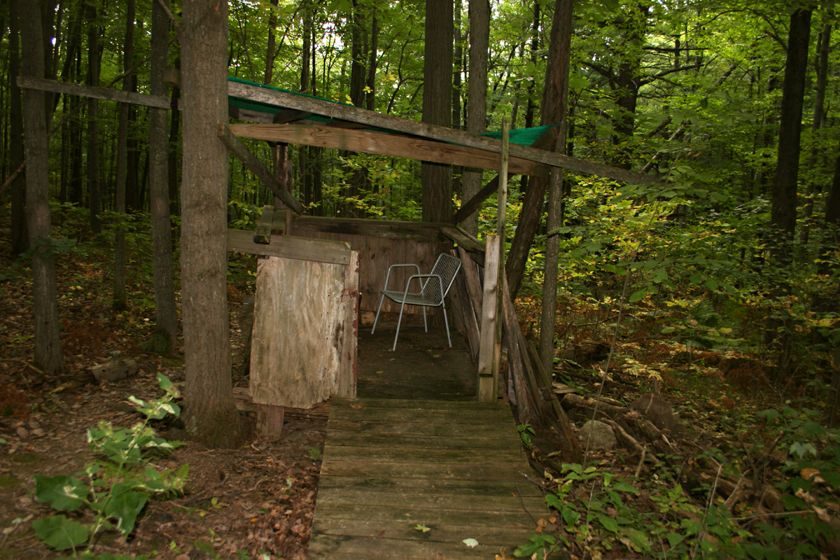
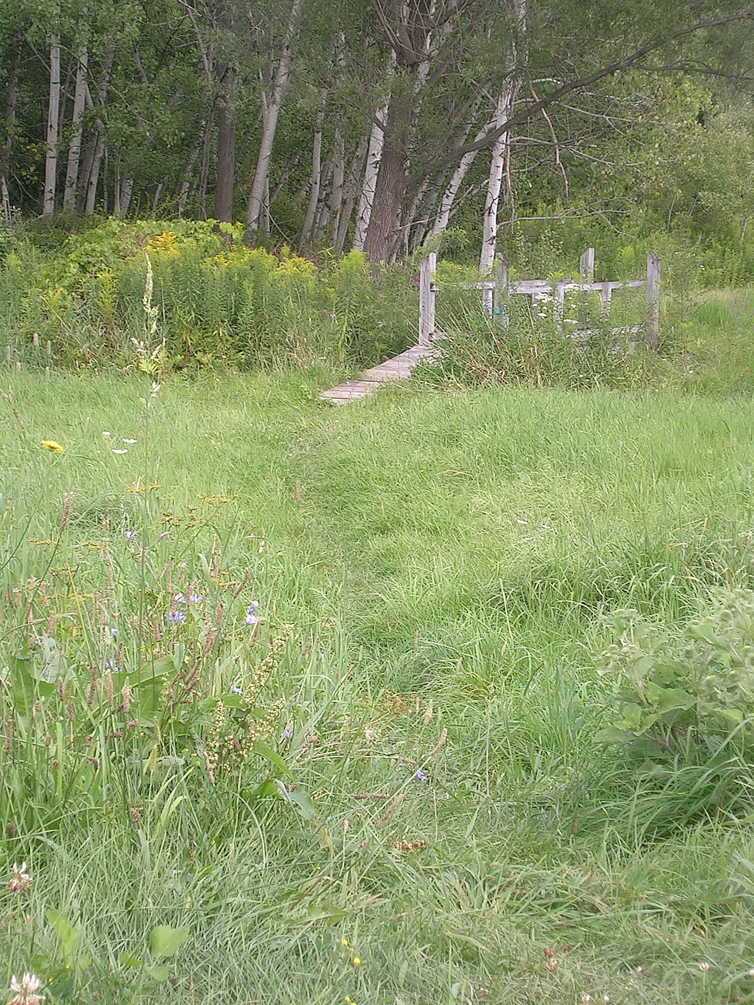
Building a trail – October, 2013

Rick and I got together today to plan our extension to the Springwater Trail.  We have been investigating paths around the Schribner valley and last year we started a trail west from Schribner.  This Sunday, we will work to improve that trail and extend it across the top of the hill.

February, 2011

February, 2011

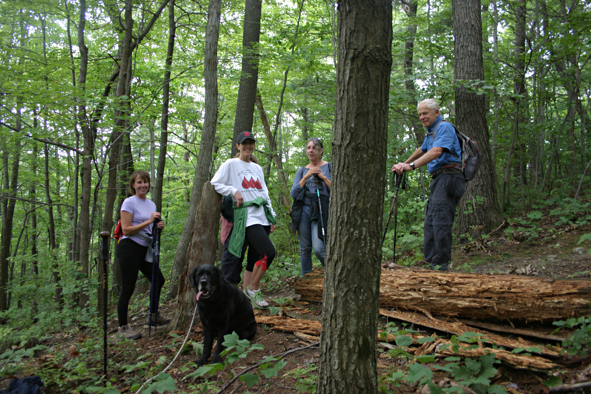
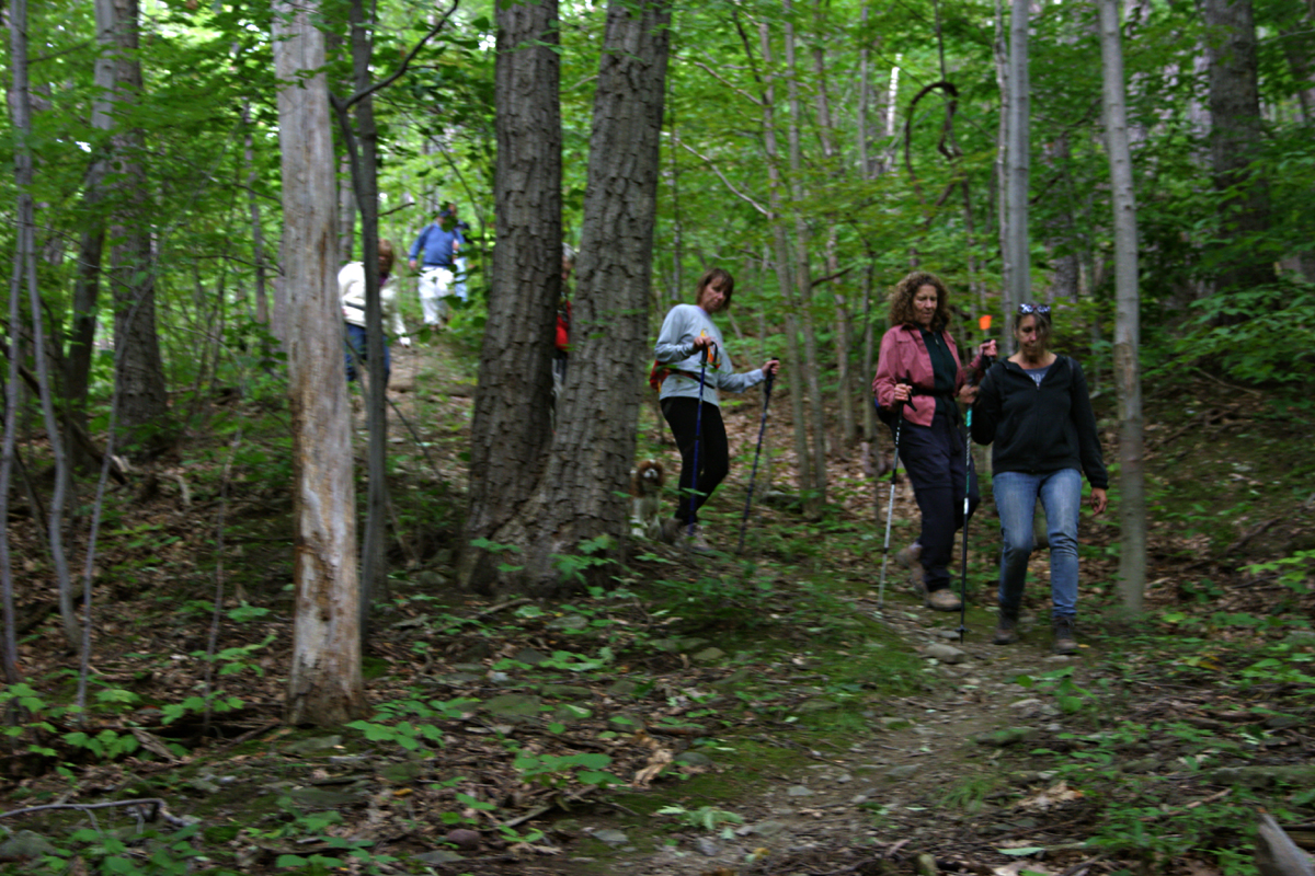
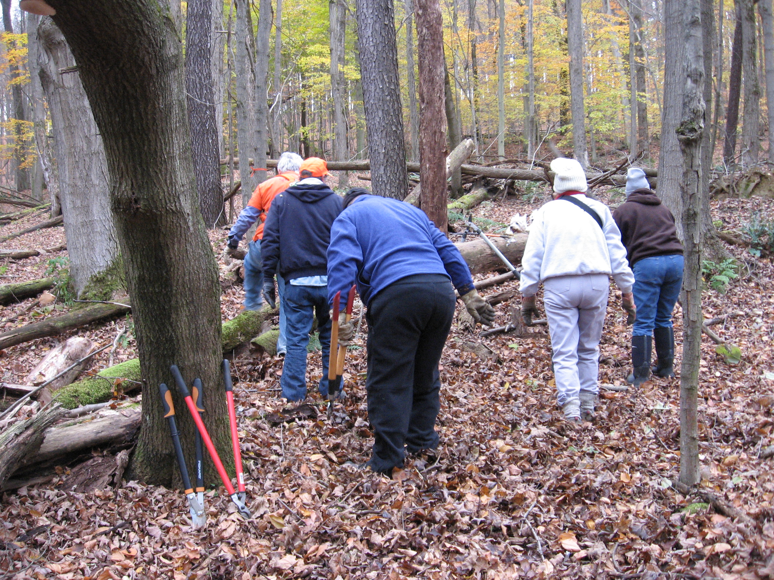
We have two tasks on Sunday.  One portion of the trail built last year is built on a slant that is difficult to hike across.  We will work to flatten the trail to make it easier and safer. Please bring a shovel or rake to help Rick with this portion of the trail.

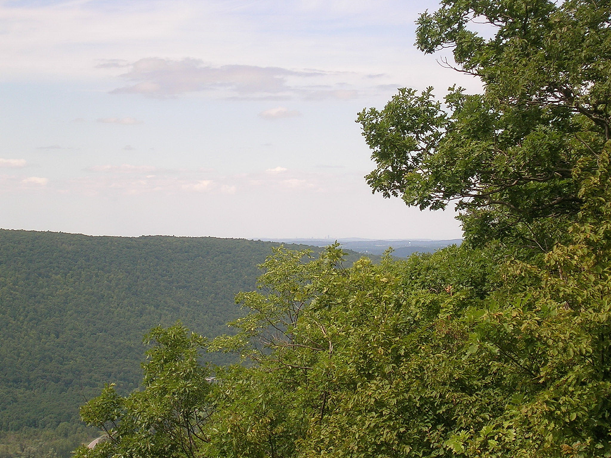
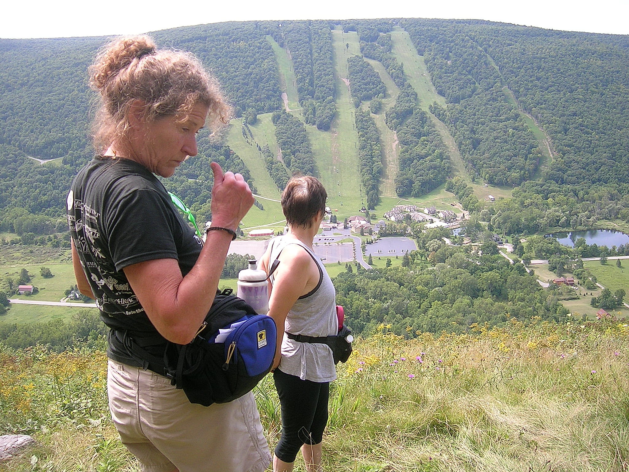
The rest of us will go to the end of the trail we worked on last year.  From the top of the hill we will follow the orange flags through the wood.  The work is primarily removing fallen branches and some trimming of the trees.  Work gloves and loppers and good hiking boots are the appropriate tools for this team.

October, 2011

October, 2011

After two hours of trail work, come join us for grilled chicken. Please bring a dish to pass.

Directions: (42.605,-77.541513)

Schribner and Giles Roads are open from both ends during the summer.  However, if you use your GPS, please avoid Schribner Rd from Strutt St.  Take Giles instead.

From Springwater: Head south on Rt 15A from the light in Springwater.  Take the first left on Marvin Hill Rd. Bear right at the Y onto Strutt St.  Continue straight onto Quanz Rd when Strutt St bears right.  Quanz Rd is a steep dirt road. Stay on Quanz Road past Fox Rd.  Take the first left turn after Fox Rd onto Giles Rd. (0.7 miles from Strutt St) (there is no street sign on Giles).  Follow Giles Rd to the intersection with Schribner Rd. The driveway is on the right about 10 feet past the intersection with Giles Rd. Park next to the barn.

From Wayland: From Rt 15, head east on Rt 21 toward North Cohocton for 3 miles. At Bowles Corners, turn left onto Tabors Corners Rd (Steuben Co Rd 37).  After 2 miles, turn left on Schribner Rd (the second left).  The driveway is the 2nd driveway on the left one mile up Schribner Rd and about 10 feet before the intersection with Giles Rd. Park next to the barn.

From Honeoye: From Rt 20A, head south on Ontario Co Rd 37.  At Canadice, turn right to stay on Co Rd 37. Bear left to stay on County Rd 37.  Turn left at the stop sign at Canadice Lake Road.    Follow Canadice Lake Rd for 2.7 miles to the third stop sign.  Turn left onto Marvin Hill Rd. Bear right at the Y onto Strutt St  Continue straight onto Quanz Rd when Strutt St bears right.  Quanz Rd is a steep dirt road. Stay on Quanz Road past Fox Rd.  Take the first left turn after Fox Rd onto Giles Rd. (0.7 miles from Strutt St) (there is no street sign on Giles).  Follow Giles Rd to the intersection with Schribner Rd. The driveway is on the right about 10 feet past the intersection. Park next to the barn.

From the East Lake Rd in Honeoye or From Naples: Rather than traveling north to reach 20A or Co Rd 37, hikers from east of Honeoye Lake may go south to Ontario Co Rd 36 and follow Co Rd 36 to Naples. Turn right on Rt 21 south.  Turn right to stay on Rt 21  for 4.5 miles to N Cohocton.  Turn right to stay on Rt 21 towards Wayland.  After 3.8 miles turn right at Boles Corners onto Tabors Corners Rd (Steuben Co Rd 37).  After 2 miles, turn left on Schribner Rd (the second left).  The driveway is the 2nd driveway on the left one mile up Schribner Rd and about 10 feet before the intersection with Giles Rd. Park next to the barn.

Stid Hill South Hike Report

Stid Hill South 02On a crisp pre-autumn day Sunday,  sixteen people and three canines hiked Stid Hill. Four hikers, led by Gene and Georgia, selected the Naturalist non-climb hike, exploring the fields, replete with lovely wildflowers – but, alas, no mushrooms, down below. The rest of us, including 80-year old Katherine (if I live to that age may I be just like you), hoofed  it all the way up – about 1000 feet – to the hang gliding launch atop the hill. There was a stunning view of downtown Rochester which we got a closer view of thanks to Doug’s binoculars – we could clearly see the downtown Kodak building on State Street. There were plenty of oohs and ahhs amongst the group, and rightly so – in addition to the city view there is an awesome view overlooking Bristol Mountain and the adjoining hills and valley. Several years ago, while sitting with my friend in a hospital room at Strong, he told me that one could see somewhere in Bristol from Rochester. Stid Hill South 04It was always foggy and overcast then but we could see something way off in the distance – I finally found the view from the other direction. As I sat on a bench and glanced around the group I was happy that they were so awed, too. There was something for everyone – the find of the day for one canine hiker was a deer skull with one antler (?) which Newt chomped away at – yummy, apparently.

Stid Hill South 05As we began our descent we were surprised (actually bordering on shock, but since there were several new members with us our fearless leader tried not to come totally unglued) to see that the hot pink blazes on the trees, visible several weeks ago, had vanished (stranger things have happened, really) but thanks to Melissa’s good sense of direction and some recall from a previous hike, combined with Doug’s GPS on his phone, we were soon on our way down the proper trail. Nothing like an added challenge to enhance the experience…All told, it was 5 miles roundtrip of rugged terrain, even climbing on all fours and grabbing onto tree roots for a short time but we all finished with smiles on our faces (or maybe delirium).

Stid Hill South 08Meanwhile, down below, unbeknownst to the rest of us, Gene and Georgia had some time to kill after their hike finished, before our troops arrived down from up above. Luckily, Joan, Bob  and Tippi arrived around 4:30 and Bob called me to make sure we hadn’t decided to spend the night up there. Once at ease, he rested, after a grueling day of taking down some trees, and Joan and Tippi did some hiking up the hill.

Stid Hill South 07Our well-deserved and delicious beer and brats were very welcome at the after-hike social which was held at Brew and Brats, down the road in Bristol Springs. We sat outside, to dine alfresco, possibly for the last time this year…

Welcome to a few new faces and welcome back to some whom we had not seen in quite a while. It was a great hike, a fun group and the best-attended Stid Hill hike to date. Thanks much to all who attended and thanks, Douglas, for your lovely photos. Cheers!

Stid Hill South 06Stid Hill South 01


Stid Hill South Directions

Link

From Honeoye: Take Route 20A East. Turn right onto CR33/East Lake Road. Turn left onto CR33. Go straight for 8.3 miles (CR33 runs into CR34) then turn left onto Route 64, parking lot is on the left.

From Naples: Take Route 21N to intersection with Route 64, continuing on Rte64N through Bristol Springs. Parking area is about 2 miles on the right.

From Wayland: Head east to Naples then follow above directions.

From Springwater: Take 15A north then turn right onto Route 20A. Take 20A into Honeoye and follow directions for Honeoye.

From Rochester: Take 490East to last Victor exit (just before Thruway). Follow Route 96 into village of Victor. At sign for Bristol Mountain, turn right onto Maple Avenue/Route444 and head into Bloomfield (4 miles). Turn left onto Route 5 & 20 for 1.2 miles, then right onto Route 64. Parking area is on left, 11.5 miles south of 5 & 20.

Posted on by

Stid Hill South Hike – September 14 2014 @ 2:00

DSCN5677DSCN5678

On a clear day we will see a breathtaking and stunning view of Rochester from the hang gliding launch atop the hill at the Stid Hill South tract in South Bristol. Even on a hazy day the view is awesome, which is the special reward for a vigorous climb up the hill covering about 1000 feet of elevation change. Stid Hill Multiple Use Area is a DEC-managed property consisting of two tracts – one in Bristol and the other just down the road in South Bristol. We will hike the  South Tract and meet at the parking lot on SR64, 2 miles south of the Bristol Mountain Ski area entrance. If coming from the North it is 5.5 miles south of the Bristol town center at the intersection of SR64 and CR32. Parking lot is clearly visible and is just north of the intersection with CR34. While the north tract clearly shows signs of past farming with stone fences and large trees, the south tract is more heavily forested with few remains of stone fences. Although I did see one hardy mountain biker while hiking the trail, the south tract does not have the switchbacks like the north tract does and there are not signs of much biking activity here.

DSCN5681DSCN5684DSCN5682We will offer two hikes: Climbers/Tourists will follow an unmarked but clearly defined, steep trail through the woods to the top of the hill and the hang gliding launch. They will then head back, stopping by a lovely, large pond on the way. Following the return trail down the hill which is marked by hot pink blazes (many thanks to whoever did that since I hiked here back in June when there were no blazes) we will pass by an old lean-to complete with bar and vintage lawn chairs (anyone willing to carry a cooler up the return trail to await weary hikers with cold ones is very welcome), several ravines and then follow a large ravine alongside the trail down to the field where we began the hike. Hike is about 2 hours roundtrip. Poles will come in handy, especially heading downhill. Naturalists will explore the lower portion of the woods and adjoining field, replete with lovely wildflowers and monarch butterflies, and Mud Creek. Long pants are recommended as some of those wildflowers have nasty spiky stems. Dogs are welcome on both hikes. Whichever hike you choose, you will not be disappointed – this is a beautiful and totally serene place. Thanks to Ryan of GVHC for putting together that wonderful Stid Hill hike back in June that I attended and which gave me the inspiration to put this hike together, and thanks to Melissa, Linda and Duffy for walking and exploring with me on a steamy August day.

Directions to the Stid Hill South parking lot are available here.

After-hike social will be held at Brew & Brats which is located behind Arbor Hill Winery on Route 64 in Bristol Springs, on left-hand side of road, about 2 miles south of the SHS parking area.


.