Please note the start of summer hours. This week’s hike starts at 4:00PM.
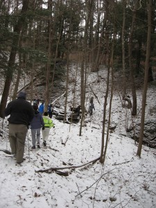
A winter hike on mission trail (Feb 2012)
Once again we return to the western slope of Hemlock Lake. We will meet at the DEC Hemlock-Canadice Forest parking area off Blank Road, about a 1/4 mile south of Niver Road. The parking lot is marked with a DEC wooden sign.
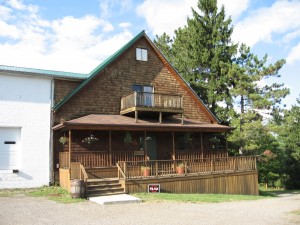
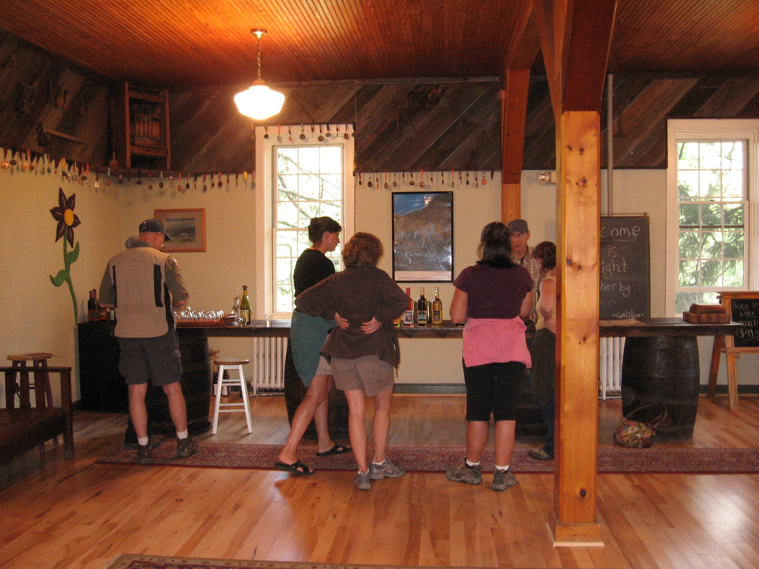
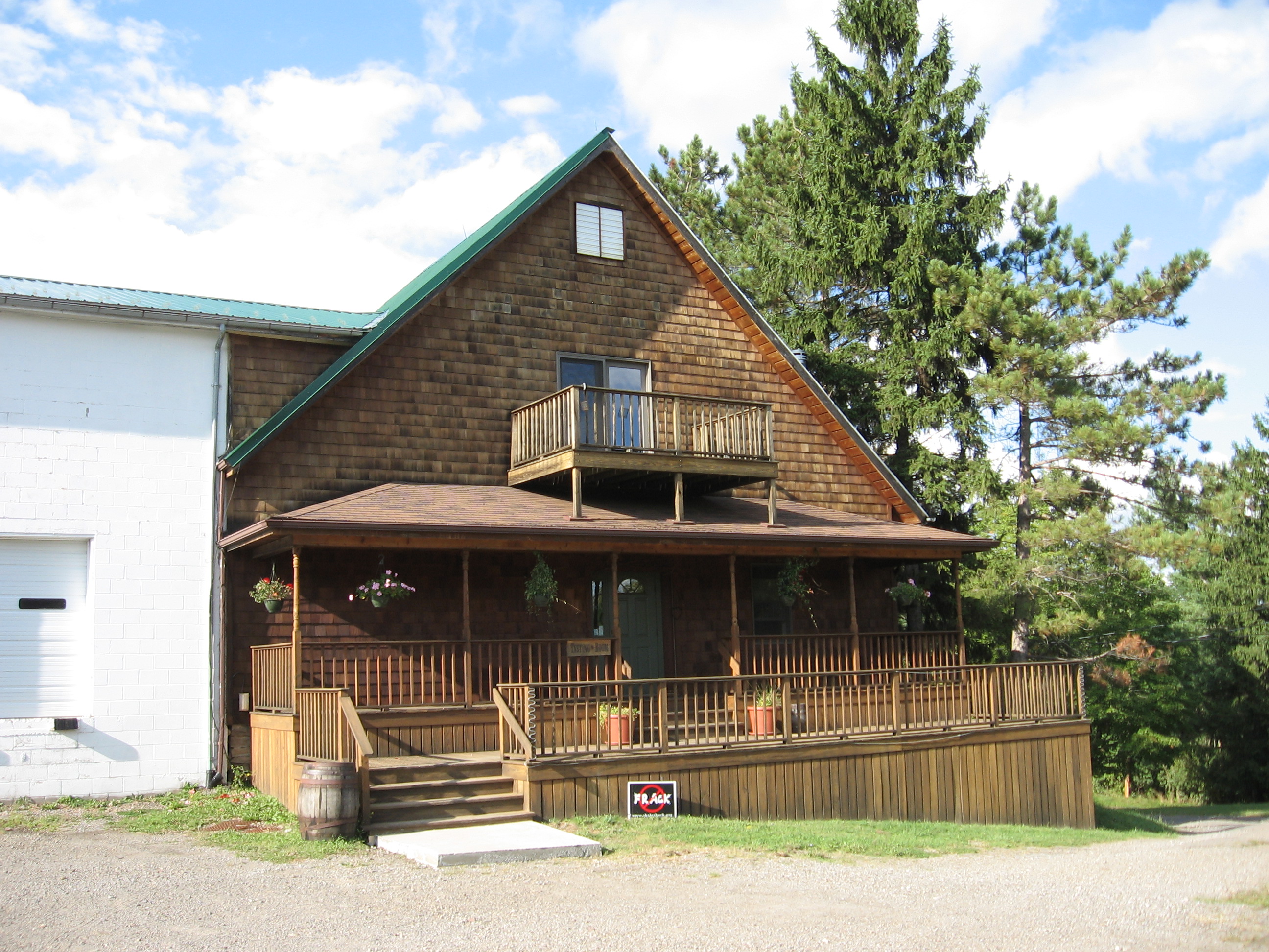
The after hike pot luck social will be at Eagle Crest Winery. Please RSVP to [email protected] if you plan to stay for the social and would like a pizza – see below.
We will meet at the parking lot just before 4:00.
The Climbers hike is a repeat of the April 12th 2012 hike. They will drive down Mission Road and park in front of the grape fields past the Mission on the east side of the road.  The hike is on the Nature Conservancy land (sorry, no dogs allowed) which surrounds the Eagle Crest Winery along the west bank of Hemlock lake. This hike is for the advanced hikers only and is a strenuous off trail walk with a steep descent and ascent through a hemlock forest. Starting at pole #141 on Mission Road the hike will follow along the north boundary of the vineyard and enter into the Nature Conservancy land as you start the wooded trail. The trail will drop down the steep hill to Hemlock Lake. Once at the lake, travel south along the lake shore past the Winery pump house and finally ascend the hill on the south edge of the Conservancy land. This will bring us back up to Bishop road and further up the hill to Mission road and finally a flat road walk back to the cars. Anyone who was on this hike last year would be kind enough to lead it?
The Tourists and Naturalists (and the dogs with the Naturalists) will stay and hike the trail that starts at the south east of the parking area. The trail is wide grassy with both flat and somewhat steep areas. The trail traverse the west side slope of Hemlock Lake through a dense forest with many different species of trees and woodland plants. The trail will fork and both Tourist and Naturalists will take the left (north) fork that starts the trail loop. The trail will get steeper as it approaches the south ridge of a gully. The loop trail provides a nice view.
On the south side (and return stretch) of the loop the Tourist will venture into the Nature Conservancy land and follow a trail marked with yellow marker ribbons. This will take the Tourist to the lake. There are parts that will require stepping over fallen trees, steep slopes, muddy patches and a little bit of bush whacking. I mapped this with a GPS and will follow this through out and back.
The Naturalists will take the loop trail and return to the cars.
 The after hike pot luck social will be at Eagle Crest Winery on Mission Rd. at about 6:00. Will, the owner, has offered wine tasting and baking personal size pizzas in his wood fired brick oven. The pizza cost runs from $10-12. Bottles of wine are for sale and can be taken to the pavilion to enjoy with dinner. Last year there was a deal on a case of wine that several hikers enjoyed (pain relief and muscle relaxant). Please bring your dinner beverage and a dish to pass to complete the pizza meal.
 Pizza menu [$10.00 to $12.00] You can choose your own pizza toppings: feta, fresh mozzarella, shredded mozzarella, red sauce, pesto sauce, no sauce, tomatoes, basil, peppers, pepperoni, olive oil, garlic.
Please RSVP if you are interested in a pizza; that way Will can have an estimate of how much to prepare. This a new venture for the winery.

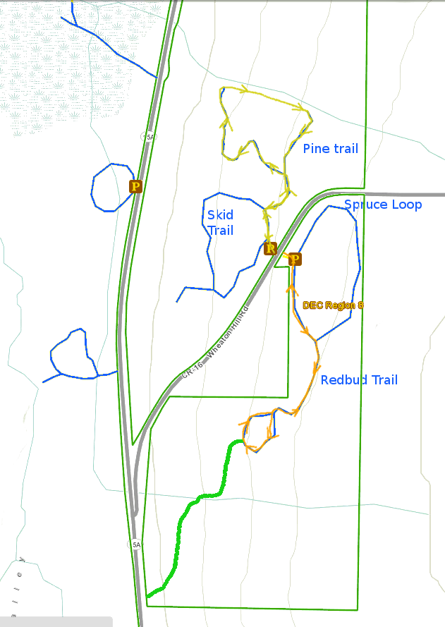
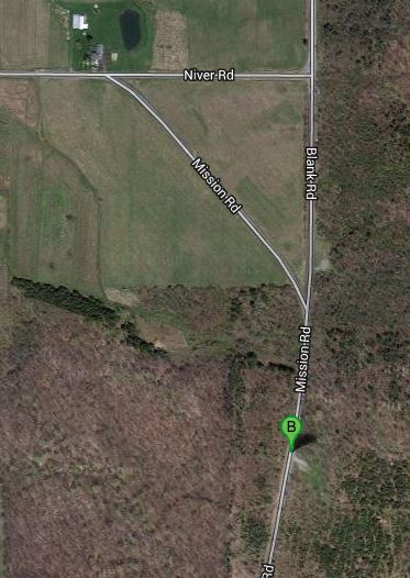 The DEC Hemlock-Canadice Forest parking area is on Mission Road just a tenth of a mile south of the intersection with Blank Road and about 0.4 miles south of Niver Road. You can reach this area from the North by going through Hemlock Park at the end of Hemlock Lake, up Rix Hill and taking a left at the top of the hill onto Blank Road. Follow Blank Road until it becomes a dirt road. Blank Rd ends at the paved Mission Rd. Continue straight ahead. The parking area is on the left (lake) side.
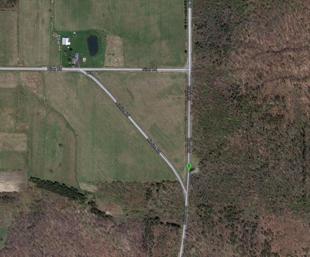 NOTE: These directions have been updated from the June 9, 2013 hike to point to the more southern parking area. There are also trails off the parking area at 42.76067,-77.62992 which was originally indicated in the picture to the right.
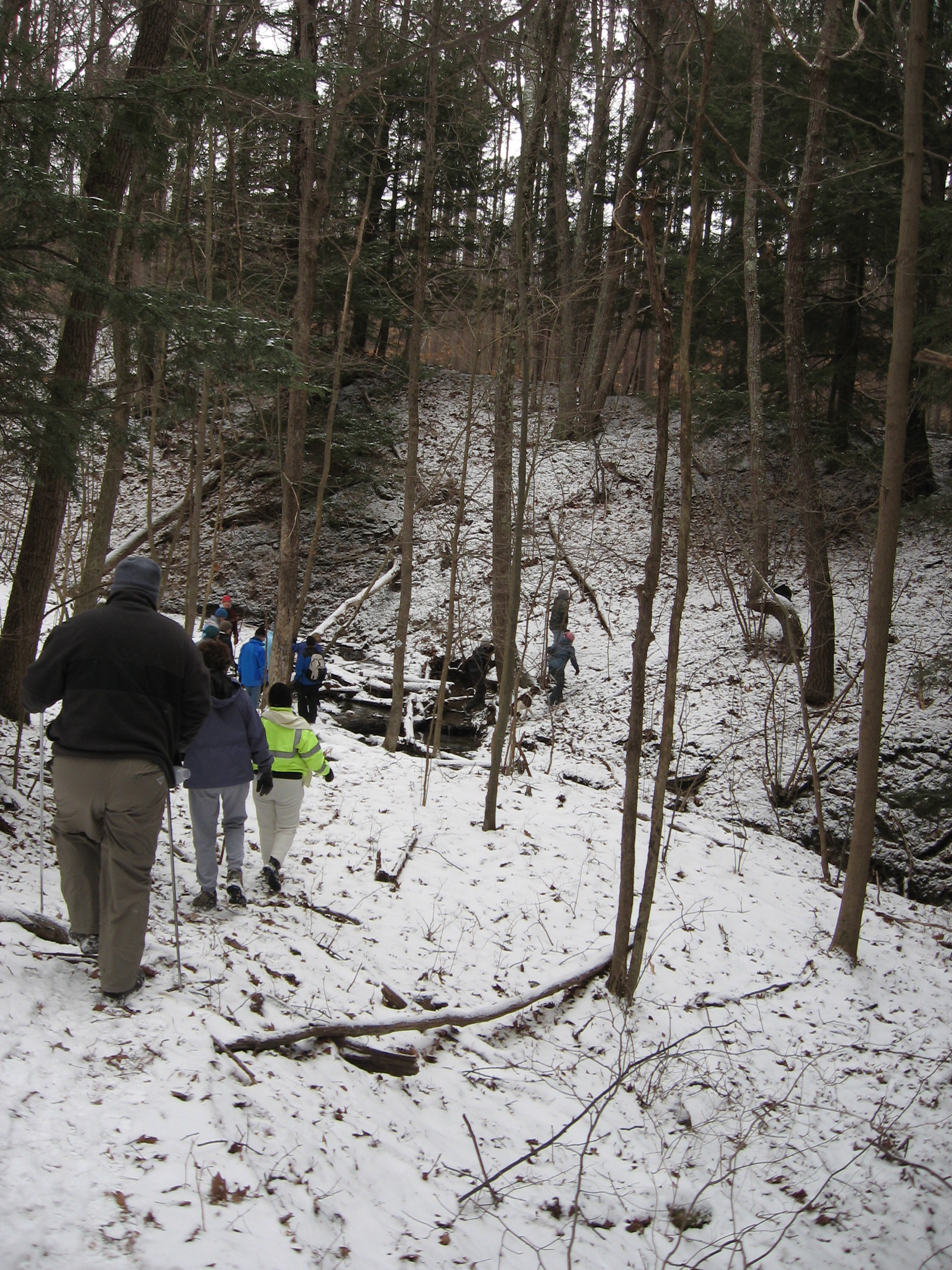

 The cicada is a large and harmless insect with 2 pairs of membranous wings and a beak for piercing and sucking. All animals have mature and immature phases in their life cycle but, what’s unusual about this insect is that some species, in this family, spend 17 years in immature stages in the soil and a few weeks as mature adults, high in trees. Several broods of the genus
  By morning, blood has been pumped into the wing veins and they are able to fly off to near the top of the tree. The shed nymph skeleton can still be seen, clinging to the tree trunk. The adult males vibrate sound organs on their abdomens, making a buzzing sound to attract females. Where there is a large emergence this year, there’s so much of this buzzing, making it so loud, that hikers have a hard time hearing each other. The eggs drop to the ground and the little nymphs hatch out and go underground for another 17 years.