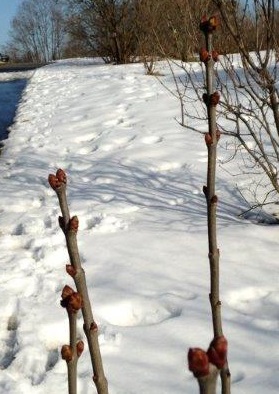
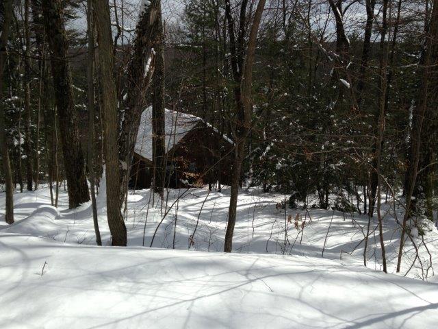
 The Springwater Mountains are alive! On the cusp of late winter/early spring, snow is plentiful, the snowmobiles are still active and the sugar maple trees are producing their spring crop of maple sap. This week’s hike will take advantage of both of these special seasonal activities located in the highest elevations of southeastern Livingston County, along the borders of Ontario and Steuben Counties.
Thanks to our partners, Hill and Valley Riders Snowmobile Club, local landowners, and
Sugarbush Hollow Maple Syrup Farm, we will be accessing portions of the C-4 Snowmobile Trail, seasonal roads, and private roads in the area of Pardee
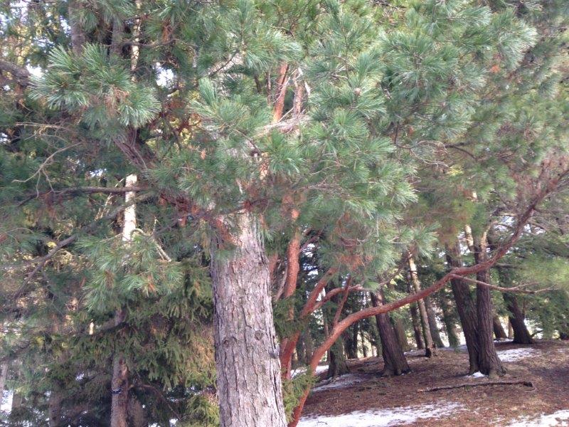
Hollow, Richards, Lanning and Atlanta Garlinghouse Roads. Our hike will take us into a beautiful geological area called Wolf Gull located near the Schumacker Dairy Farm.
 The 11th annual Maple Weekend will be taking place at Sugarbush Hollow, so if you come early, please park just off Coates Road, near the yellow house and barns. You can arrive anytime before the hike and enjoy a pancake meal ($6 donation to the Springwater Gala) and maple events from 10-2. Our hike will begin promptly at 2:00. We will meet by the Sugarbush Nature Trail sign. From there we will car pool to Richards Road and Atlanta Garlinghouse/Wolf Gull area. Note: There will be no social after the hike, however hikers may hang around the Sugar house after the hike to warm up. Bring your own beverage and snack if you would like.
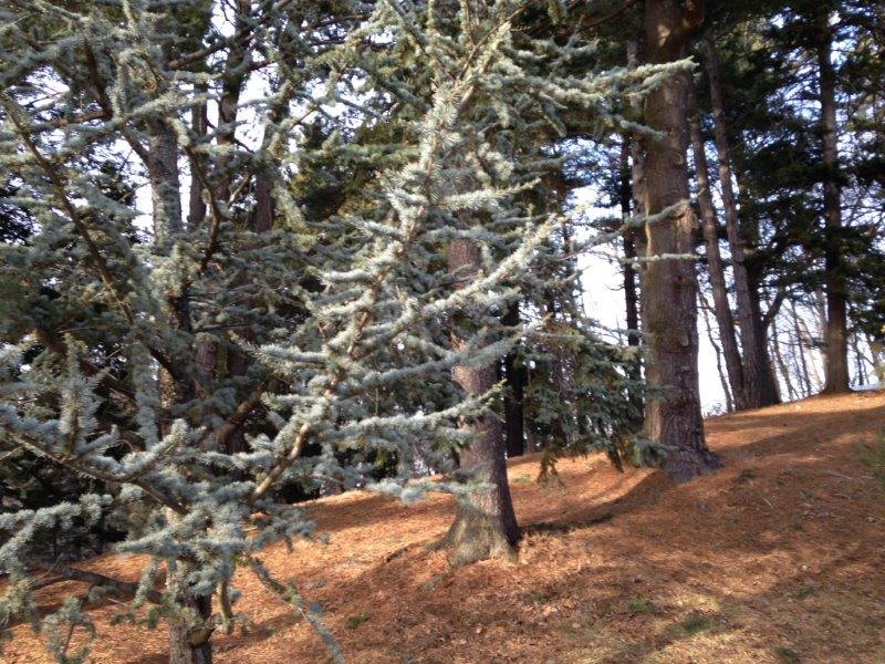
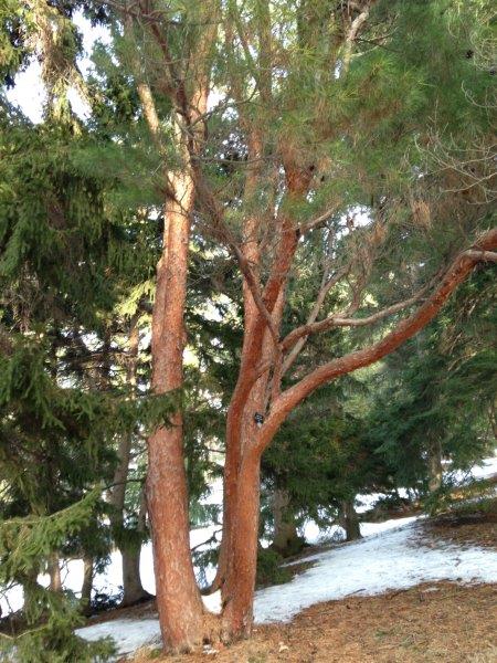
Naturalists – Gene will lead the naturalists on a tour through Wolf Gull. Bring your binoculars to examine the hemlock trees for wooly adelgid and listen to the call of returning spring birds. The
ponds in this narrow valley will be explored and early spring plants identified. The hike will be flat along the snowmobile path. Naturalists will
drive to the entrance on Atlanta- Garlinghouse Road and provide transportation for tourists and climbers back to Sugarbush Hollow.
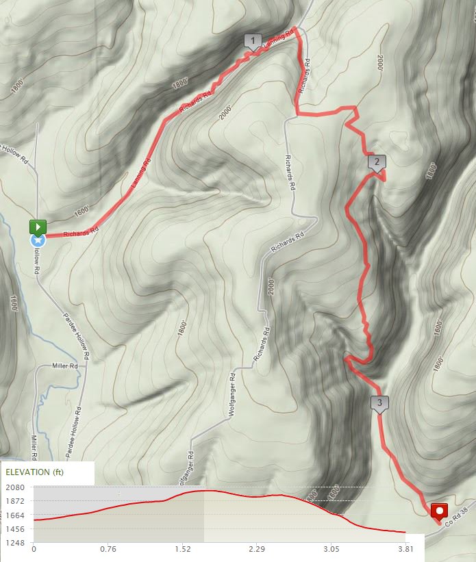
 Tourists – Mark will lead the tourists for an exciting hike/snowshoe beginning
on the seasonal Richards Road just off Pardee Hollow Road. They will travel approximately 4 miles through flat and hilly terrain. There is a climb of 450ft ending with great views down the Cohocton valley. Then it is a gradual downhill, descending an eventual 638′ into Wolf Gull. We will exit onto Atlanta Garlinghouse Road for a ride back to to the cars.
 Climbers – Melissa and Ann will lead the climbers for a fast paced hike
and exploration of the Wolf Gull area and surrounding hilltops, traveling approximately 4-5 miles. The first part is a 1.25 mile with a gradual elevation increase of 480’. The second part is a gradual downhill, with views over the edge down into the gully. 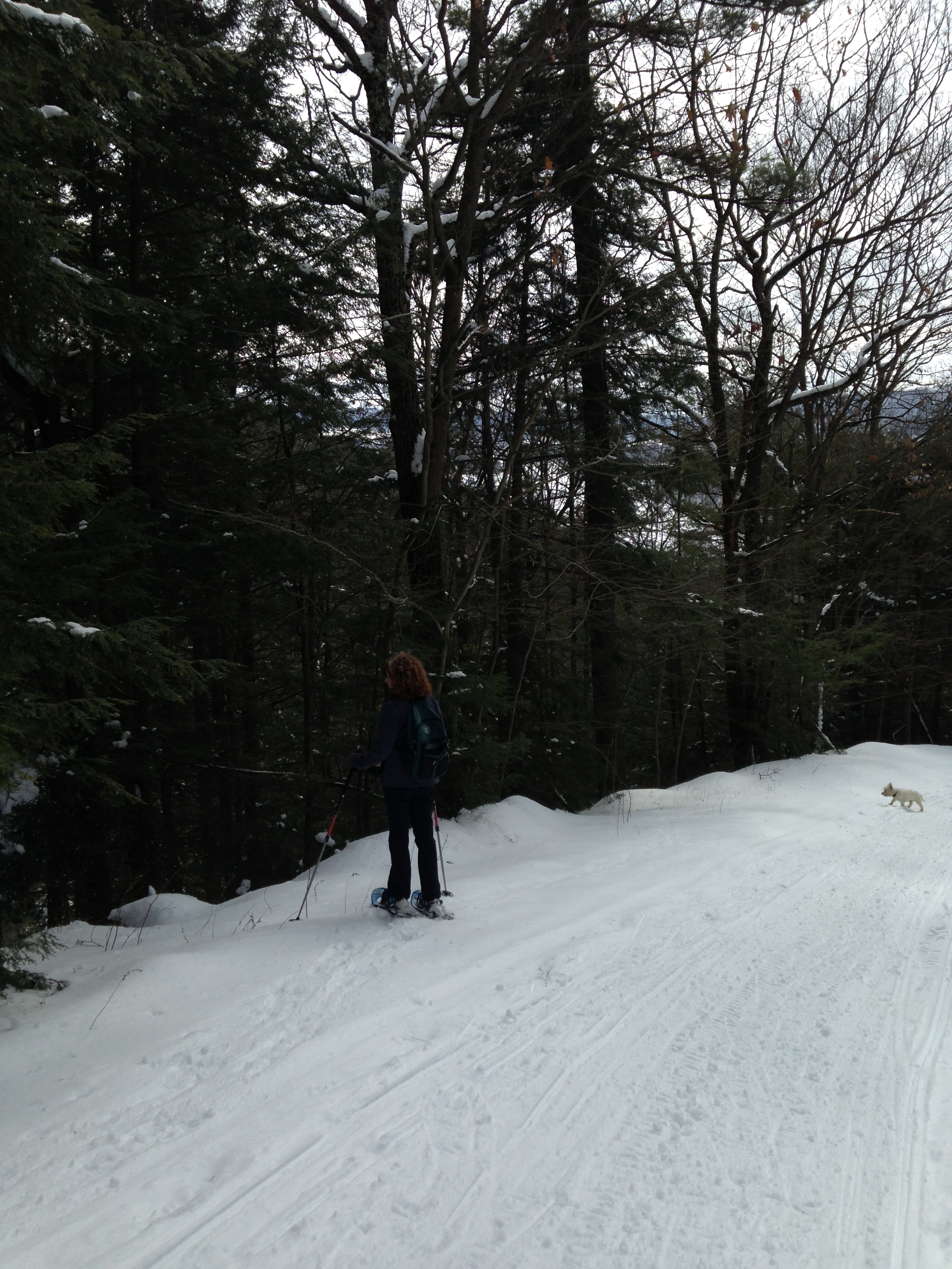 After descending an eventual 638’ into Wolf Gull and a quick visit to the pond we will exit onto Atlanta Garlinghouse Road for a ride back to the cars.
Click here for directions to the Sugar House. Richards Rd is one road south off of Pardee Hollow.