High Tor, Basset Rd Parking – Directions

A tor is defined as a peak or a rocky hill or mountain.  The High Tor Wildlife Management Area in Naples consists of 6100 acres managed by the NYS Department of Environmental Conservation.  The area south of Rt 245 is scenic steep wooded terrain.  North of Rt 245 is marsh bordering the south end of Canandaigua Lake.

The Basset Rd entrance is the southern parking area for the high portion of the area.

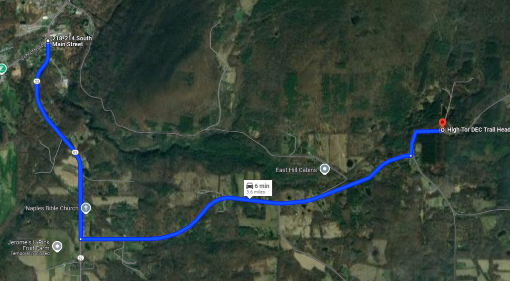
From Wayland: Head east on NY Route 21 toward N Cohocton and Naples.  Turn left at the stop sign in N Cohocton to stay on Rt 21.  At the stop sign in Naples, turn right onto NY 53.  Follow Rt 53 for 1.3 miles, and turn left onto Italy Valley Rd (Co Rd 21).  After 2.1 miles, turn left onto Basset Rd (Co Rd 21).  The parking area is on the left about 0.3 miles up Basset.

From Penn Yan: Take NY-54A S past the Keuka Lake State Park to Branchport. Continue straight onto Italy Hill Rd for 4.9 miles. The road turns left at the intersection with Italy Friend Rd, then crosses Pulver Rd on the right and Pulteney Rd on the left (they are the same road!). Just past that intersection, turn right onto Italy Hill Turnpike. 
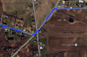
In 3.0 miles at the bottom of the hill, take a slight left onto Italy Valley Rd. In 0.8 miles, turn right onto Basset Rd. In 2.2 miles, the parking area will be on the right.
From Honeoye: Take Co Rd 36 into Naples.
From Canandaigua:  Take NY 21 South into Naples.
From Rochester and Victor: Take Rt 444 South from Victor.  Turn left on 5 & 20.  Turn right on Rt 64, past Bristol Mountain, to Rt 21 South.  Stay right on Rt 21 into Naples.

From Naples: Take Main St (Rt 21) South through the town of Naples.  Continue on CR 53 when Rt 21 turns right.  Follow Rt 53 for 1.3 miles, and turn left onto Italy Valley Rd (Co Rd 21).  After 2.1 miles, turn left onto Basset Rd (Co Rd 21).  The parking area is on the left about 0.3 miles up Basset.
High Tor – Sunday, February 10, 2013 at 2:00 PM

IMG_0207A tor is defined as a peak or a rocky hill or mountain.  This week our hikers will encounter one of these at High Tor Wildlife Management Area in Naples.

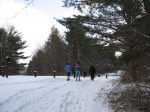
This is a good place for cross country skiing and snowshoes if there is enough snow.  It is high (about 1600 ft) so bring your equipment in case there is enough snow.

The after hike social will be at the Middletown Tavern at 183 S Main St  in Naples.

Directions

Everyone  will meet at the parking area located on Basset Rd from where we will carpool to the trail-head on Brink Hill Rd which has limited parking.

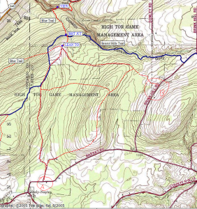
The Tourists will leave their vehicles at this parking area (A on the map below), as their hike will be ending there.  Climbers and Naturalists will drive everyone to the trailhead on Brink Hill Rd (B).

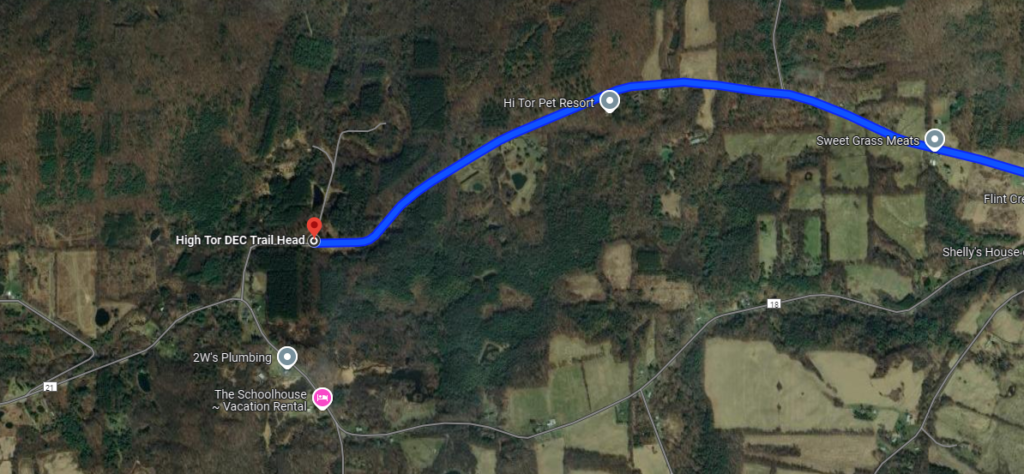
High Tor trails from Basset and Brink Hill RoadsDirections to the trailhead on Brink Hill Rd:  Turn left out of the parking area to continue on Bassett for another mile or so.  Turn left on Brink Hill.  Continue about a mile until you reach the gate and Parking area on the left.

All hikers will set out on the same trail.  After about 1 mile, several small man made ponds are reached.

Naturalists may want to spend some time exploring this area.  It is possible to walk around the ponds on raised levees and through the woods.  The Naturalists also have the option of continuing on the main trail for as long as they wish before returning, by the same route, to the parking area.  The terrain rises gently from there.

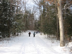
IMG_0204Tourists and Climbers continue together on the main trail for another 1/2 mile or so to a junction.

Tourists will bear left and continue on this wide, well-defined trail.  The terrain is a gentle uphill through meadows and woods, reaching its peak in about 1 mile.  The trail then drops down hill for another 1/2 mile to the gate that marks the Basset Rd trailhead and parking lot.  This hike is about 2.5 miles.

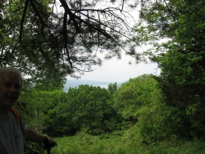
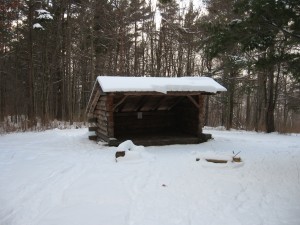
IMG_0416Climbers will bear right at the junction, traveling gently downhill to a large pond.  From there a steady climb begins for a half mile or so to a junction with the FLT Bristol Hills Branch(orange blazes).  Hikers turn right and head downhill again to the Lean-to and IMG_0206 Scenic overlook of Canandaigua Lake.  This spot is definitely worth the climb.  The group will return to Brink Hill Rd via the same route.  What was downhill will now be UPHILL.  Total hike about 4.5 miles.

Please click here for directions to Basset Rd.  You may also want to visit the very nice map on the CNY Hiking website.

To get to the Middletown Tavern turn right out of the Basset Rd parking area.  Then right onto Italy Valley Rd and right on NY 53 N.  Continue straight on Rt 21. The Tavern is on the left at the corner of Rt 21 and Co Rd 36.

Hawk Haven

[nggallery id=5]

After the hike on Sunday, Ann and Rick hosted the social at their house.  If you left a wonder cake and cake container, Ann will bring it to the next hike.