
The Springwater Town Hall is located at 8022 South Main Street (Rt 15) 0.2 miles south of the flashing light. Continue reading
Monthly Archives: October 2012
Hemlock Lake – Eastern Shoreline
 Last Sunday we broke our chain of rainy hikes, and with a wonderful fall hike along the shoreline of Hemlock Lake.
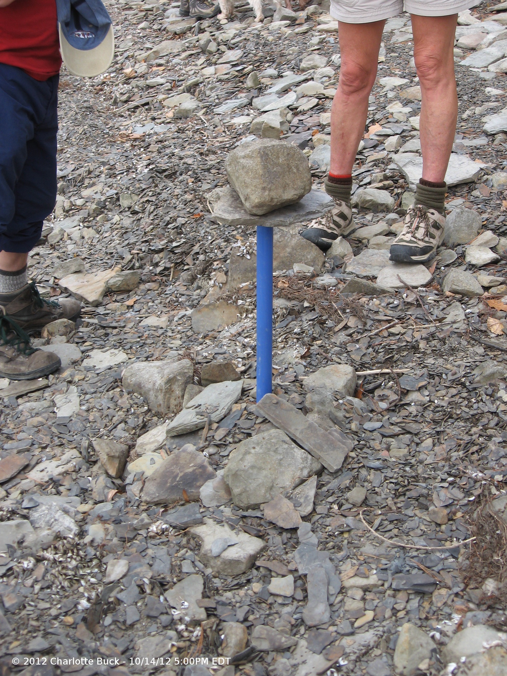
There were six naturalist who hiked along the north boatlaunch trail and the adjoining shoreline. Gene indicated he did not find any mushrooms, however they found witch hazel and identified different kinds of trees. I found a giant puffball but following DEC rules and regulations for state forest did not pick it. I also found what I thought were shaggy manes, so I was pleased when Gene confirmed the identification.
 It was impossible to miss the incredible amount of crunchy zebra mussels exposed along about 2-3 feet of shoreline.
According to the City of Rochester, the lake level is low due to a lack of rain this summer. It will be interesting to see if it helps with killing off the zebra mussells. It would also be interesting to know if there has been an increase in Kodak usage or demands for watering lawns in Rochester, or a new policy to ultimately lower the levels of the lakes.
13 hikers walked entire shoreline, north boat launch to south boat launch, a distance of about 6 miles which was completed in slightly less than 3 hours.
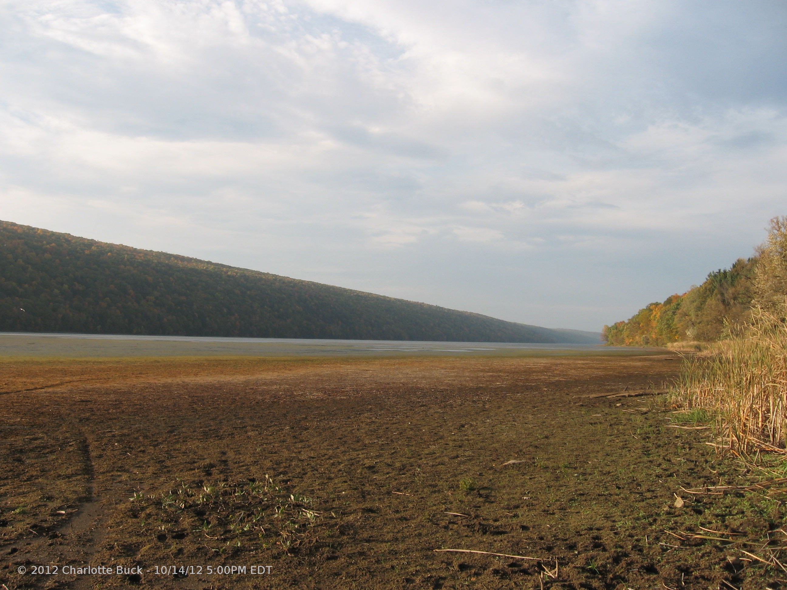
When the climbers reached the south boat launch, the lack of water was clear all across the inlet.
Chuck met the hikers with the red Sugarbus and crammed all hikers and dogs for a return trip back to the cars at the North Boat Launch.
Three lonely touristy women grazed the shoreline and north boat launch trail for a about a 4 miles hike. We photographed the lake, felt a strong wind pick up and were concerned for those that might be in the middle of the lake in kayaks or canoes. We stood where we haven’t been before because of the water level, searched for artifacts, and hiked to the cliffs where I speculate the Legend of Onnolee (about 1350) took place on Bald Hill. We talked about the poet W. S. Hosmer’s legend of Onnolee and read the lyrics of a song written by Joe Crookston at the point where we suspect Onnolee jumped from a crag overlooking the lake. Since there is no crags on Canadice Lake that we know of (maybe there were more 760 years ago) and since the water level on Hemlock Lake beneath the cliffs isn’t very deep, we are almost sure Onnolee met her death on Hemlock Lake, although the Legend notes Canadice Lake. Look for the Full Moon this month, when the spirit of Onnolee is predicted to hover over the lake.
Lastly 17 hikers joined for a social at the Hemlock Grill. The hamburg was the best I have ever had. Thanks to Todd Emerson and his sister Melissa, we were well taken care of.
Website Photos
As many of you know, Char has taken the job of official photographer for the Springwater Trails. Many of the pictures on this website were taken by Char and are used with her permission.

Many hikers wore orange this week, with the start of hunting season.
I hope that you will find the pictures enhance your experience on the website. I also hope you will respect Char’s rights to the pictures – as the creator of the image, Char has the copyright and it is protected by US copyright law.
Although Char shares her pictures with us, she can’t be everywhere and sometimes she simply enjoys hiking. So if you have some pictures you would like to share with the Springwater Trails you have two fairly easy options.
You may become a contributor to this website. Click on the login link at the top of each page, and create your own login. This will allow you to comment on the stories. To contribute new articles send me an email so that I can set that up and you can start contributing.
Alternatively, you may email me your pictures. If you do this, I would like to ask that you take some time to edit and document your pictures. Here is what I would prefer.
- On your computer, create a folder for pictures called SpringwaterTrails.
- In this folder, create a subfolder for each walk. Name the folder with the year, month and day and a short name for the hike. For example use a name like “2012 10 14 – Hemlock East Shoreline”.
- Put your pictures in this subfolder.
- You may use any photo editor to crop the picture, fix the contrast, remove red eye etc. You may want to add a small copyright notice such as “©2012 Springwater Trails – 10/14/12 5:00PM EDT”. I would suggest using your own name, unless you want to transfer the copyright to Springwater Trails.
- Resize your pictures so that the largest dimension is less than 800 pixels. Since these will display on a computer screen, high resolution just slows everything down. Viewers shouldn’t be printing your pictures anyway.
- Create a ZIP file with the entire directory – On Windows 7, I do a right mouse click on the directory in Windows Explorer and select “Send to -> Compressed (zipped) folder”.
- Send me the zip file.
Before I use any of your photos, I will add a copyright if you haven’t. And thanks for hiking with us and sharing your photos.
Gonandagan State Historical Site – Directions
From Honeoye: Take Main St, Route 20A east to NY 64. Left on NY 64. Left on Rtes 5 and 20 for 1.3 miles. Then right on NY 444 N. Continue through Bloomfield on 444. Turn left at the flashing light at Boughton Hill Rd. Park at the visitor center on the right side of Boughton Hill Rd.
From Springwater: Take 15A North toward Hemlock. Turn right at Rt 20A before Hemlock. Follow 20A through Honeoye to Bristol Valley. Turn left on NY 64. At the light, turn left on 5/20. After 1.3 miles, turn right on NY 444 N. Continue through Bloomfield on 444. Turn left at the flashing light at Boughton Hill Rd (Co Rd 41). Park at the visitor center on the right side of Boughton Hill Rd.