This month’s Finger Lakes Trail hike continues west toward Hornell in the Town of Howard. The trail is both pretty and pretty remote, and the day is predicted to be sunny with temperatures in the 60s. So a simple social is planned following the hike at the endpoint on Burleson Rd (a good dirt road). Bring lunch for yourself and if you wish, a desert to pass. Since cars will be left at the start of the hike, please plan to carry your lunch on the hike. And remember to bring water for hiking and the social.
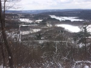
This hike is on Map 10 between Access 9 and Access 7. All hikers will start from Hughes Road and hike west. This first section is on land owned by an archery hunter, who asks that we wear blaze orange during hunting season. The first section is mostly in the woods with intermittent views to the west. The trail is covered with leaves at this time of year, so watch the white blazes carefully. Depending on the size of the group, we will separate into two groups according to hiking speed. In 1.7 miles, the trail crosses Burleson Rd (a 200′ road walk to the left). From Burleson Rd, the climbers will follow a farm lane until we come to a pig farm. Follow the blazes to a bridge across the creek and then out to Stephens Gulch Rd. Please make sure the group leaves all gates as they found them.
The trail continues straight across the road, primarily on the seasonal Spencer Hill Rd to the top where wind turbines and views abound. However, watching our time, the Climbers will return back to Burleson Rd.
We will have cars waiting at Burleson Rd. We will find a nice spot along the road to enjoy the views and for a light picnic – bring a sandwich, extra liquid and if you wish, a desert to share.
Directions:
If you are willing to arrive 20 minutes early, please meet at the Burleson Rd trailhead (see below). We will carpool to the startOtherwise, here are directions to the start of the hike. We will start hiking at 2:00PM.
The following directions use I390 and I86 to get to Howard, NY. You can save about 5 minutes by taking Rt 21 south from Wayland, if you don’t get lost. Please note, there was construction on 415 south of Cohocton yesterday, requiring an easy detour.
From Springwater and Wayland: Head south on NY 15, through Wayland. Turn left to get onto I-390 south. Take the I-86 west exit toward Jamestown and take exit 35 for Howard, NY. Turn left from the exit, onto CR 70. Continue straight across CR70A onto Mill Rd. Bear left to stay on Mill Rd (don’t go straight onto Hopkins Rd) Continue straight at a small hamlet onto Craig Rd, then immediately turn right onto Hughes Rd. Hughes Rd will cross Turnpike Rd in 1.5 miles. Continue to the trail head on the right in 0.4 miles after Turnpike Rd.
From Naples: Head south on NY 21 to N. Cohocton. Continue straight on NY 371 to Cohocton. Turn right on NY-415 (Maple Ave). In 0.6 miles, turn left on Cohocton Loon Lake Rd and then left to get onto I-390 south. Take the I-86 west exit toward Jamestown and take exit 35 for Howard, NY. Turn left from the exit, onto CR 70. Continue straight across CR70A onto Mill Rd. Bear left to stay on Mill Rd (don’t go straight onto Hopkins Rd) Continue straight at a small hamlet onto Craig Rd, then immediately turn right onto Hughes Rd. Hughes Rd will cross Turnpike Rd in 1.5 miles. Continue to the trail head on the right in 0.4 miles after Turnpike Rd.
From Dansville: Take I390 toward Wayland. Continue on the Springwater directions above.
Directions to the end of the hike at Burleson Rd
From Springwater: Head south on NY 15, through Wayland. Turn left to get onto I-390 south. Take the I-86 west exit toward Jamestown and take exit 35 for Howard, NY. Turn left from the exit, onto CR 70. Turn right onto CR 70A.. In 0.4 miles, stay left (70A curves to the right) onto Graves Hill Rd (or maybe it is called Pfitzenmaier Rd or Starr Hill Rd) and then left on CR 27 (Stephens Gulch Rd). At the end (2.1 miles) turn right on Turnpike Rd, then a quick left onto Burleson Rd. The trail crosses the road in 1.5 miles. Park on the shoulder.
Directions from Burleson Rd to the start of the hike: Head north on Burleson back to Turnpike Rd. Turn right on Turnpike Rd. Continue straight for 0.8 miles, then turn right onto Hughes Rd. The trailhead is on the right in 0.4 miles.

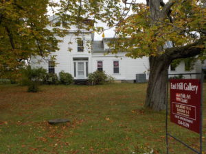
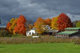
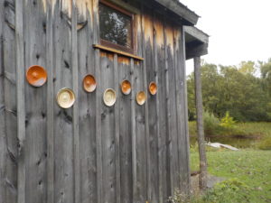
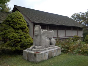 Sunday October 13 we will visit East Hill Farm, home of the Rochester Folk Art Guild, for a hike across a 350-acre hilltop farm and woodlot and a tour of the craft workshops. The Guild is a community of craftspeople, some resident and some visiting, and the weekend of October 12-13 is their annual fall Apple Festival and Open House, a celebration of the season with a home-cooked Farm lunch, local food vendors, fresh pressed cider, and tours/demonstrations at the pottery, wood, weaving and graphic arts studios. The Gallery/gift shop is also open for business. Admission is free, and the event runs until 5 PM.