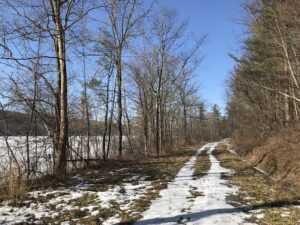
 This Sunday we will enjoy a leisurely stroll along the Hemlock Lake shore on the northwest section of Rob’s Trail. The Climbers will continue up Rob’s Trail to Route 15A, and from there they’ll be ferried back to the hike start point; Naturalists and Tourists will stay on the lake shore trail and turn back to the start point whenever it suits them. The mild winter will continue this week so we’re not expecting much snow cover. If the lake level is low we can walk on the beach, but the trail offers a good flat and mostly well-drained surface. Here and there we will encounter a minor stream to cross by either wading or jumping, so waterproof footwear and poles are advised. Just in case of lingering ice or slippery mud, spikes or Yaktrax are a good idea too.
Meet at the north boat launch, at the end of the old east lake road, a sharp left after you first enter Rix Hill Road from Route 15A. This will be an out and back hike for Naturalists and Tourists; may return at any point; while Climbers will walk all the way to Route 15A for a shuttle back to the start point. At about 1.75 miles we will encounter a more substantial stream across the trail, probably too large to leap over. Any Climber wishing to proceed on Rob’s Trail past this point is advised to bring wading boots. Turning around at this point will give you a hike of 3.5 miles and a little under 2 hours.
Optional Social: Please join us at the Birdhouse Brewing Company in Honeoye – 8716 Main Street, just east of the traffic light, for craft beer and pub food.
Directions: From Springwater: proceed north on Route 15A 19 miles, then make a left on Rix Hill Road and an immediate left on Old East Lake Road, aka Boat Launch Road.
From Honeoye and points east: Take Route 20A west from the Bristol Valley and Honeoye. When 20A meets Route 15A, make a left and go about .6 miles to Rix Hill Road. Make a right and then an immediate left on the dead end road to the boat launch parking area in one mile.
From Rochester and points west: Take Route 15 south from Henrietta or Route 15A south from Honeoye Falls, or Route 390 south to the Lakeville-Livonia exit, then go south on Route 15 and then east on Route 20A through Hemlock. When Route 20A turns east toward Honeoye, go straight another .6 miles and make a right on Rix Hill Road. Then make an immediate left onto the boat launch road and go to the end, 1 mile.
To the Social: From the Boat Launch parking area, return to Rix Hill Road, make a right and then a left on Route 15A. Go .6 miles and make a right on Route 20A. In about 4.75 miles you will reach the traffic light in Honeoye. A few buildings beyond the light is Birdhouse Brewing on the left at #8716.

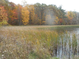
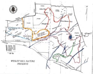
 This city park dates back to 1926, and covers 447 acres of city land. It has woodlands, steep slopes and the level flood plain of the Irondequoit Creek. There is one designated sledding hill and a non-motorized/car-top boat launch allowing boat access to Irondequoit Creek.
 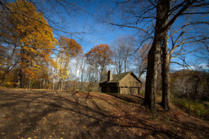 This plot of land encompasses much of the history of the locale before the city was built here. Fort Schuyler is a replica of the original Fort; Indian Landing was located on Irondequoit Creek and was used by the indigenous Iroquois as the beginning of the portage route which stretched along Ellison Park. The Lost City of Tryon, originally founded in hopes of creating a commercial settlement, used the Irondequoit Creek for trade. A store was built that bartered with the Seneca Indians, beginning Rochester’s trading roots.