About Mark

President of Springwater Trails, Inc

FLT Howard Beye Winter Hike on the Bristol Hills Trail, Map #B1 – Saturday, Jan 11, 2014 – 10:00AM

It is now a tradition for Springwater Trails hikers to join the Finger Lakes Trail hikers for the annual Howard Beye Winter Hike.

The Finger Lakes Trail across upstate NY was started in 1962, and for nearly 25 of those years, Howard Beye was THE major volunteer for the organization that tends it. He was a deeply involved trail chair, keeping track of map updates, organizing and training those who adopt portions of our over 900-mile trail system, tracking volunteer hours for every one of them during an annual “census,” arranging Challenge Cost Share projects, and organizing every one of our three to four special work-week projects, the annual “Alley Cats,” and handling the majority of correspondence with the state agencies who host many miles of our trail. Continue reading

Skiing and shoeing HHS Recreation Area

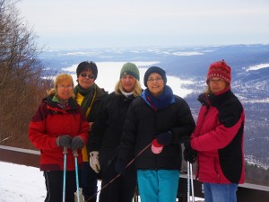
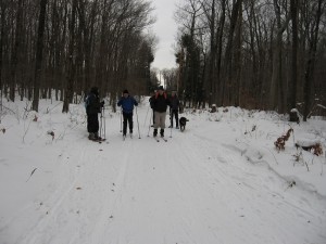
Harriet-Hollister-Hike-Jan-5-2014-007wHarriet Hollister Spencer State Recreation Area was busy this first weekend of 2014.  Activities started with a snowshoe competition Saturday morning and ended with a Springwater Trails hike.   IMG_0461_WebEighteen hikers joined Springwater Trails at the parking lot of HHS Park.  We split into three groups, the skiers, the climbers on snowshoes and the tourists on snowshoes or hiking boots.  We covered most of the well groomed trails in the park and enjoyed the sounds of the winter forest.

Harriet hikeNo one got lost during this hike, thanks in large part to a map the Rick found of the ski trails.  This was originally found in the March newsletter from Rochester Nordic Ski Club and was referenced in a blog from Footprint Press that you may find interesting. I am also copying the mileages from the Nordic Ski Club newsletter.
hh-map-12-2012-rev-1-21[1]

Harriet Hollister Trail Mileage Miles KM
Bear Cub 0.4 0.64
Big Oak 1.0 1.60
Blue Spruce 0.8 1.28
Bypass Trail 0.3 0.48
Cannonball Run + ext. 0.7 1.13
Chalet Loop 0.1 0.16
Chalet Trail 0.5 0.80
Deer Run 0.5 0.80
Fox Run 0.3 0.48
Little Whiteface 0.5 0.80
Lower Sidewinder 1.1 1.77
Meadow 0.3 0.48
Overlook Road 0.9 1.45
Pines 0.2 0.32
Raccoon Run 0.7 1.13
Ruthies Run 0.2 0.32
Stoney Hill 0.05 0.08
Whiteface parallel 0.1 0.16
Upper Sidewinder 0.2 0.32
Whiteface Bypass 0.1 0.16
Total 8.95 miles 14.36 KM

Ski and Snowshoe at Harriet Hollister Spencer Park – Jan 5, 2014 – 2:00PM

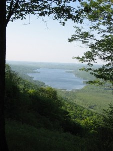
View of Honeoye Lake

May 2012. Think Warm!

This Sunday Jan. 5th, Springwater Hikers will meet at the parking lot at the entrance to Harriet Holister Park at 2 PM. It is still snowing as of Thursday night with predictions of  8 to 12 inches.  Hikers that wish,
should consider bringing their snow shoes or cross country skis.  If you bring an extra pair of snowshoes, you may find a hiker willing to try them out.

New Years 2012

New Years 2012

Hikers on boots or snowshoes should avoid the groomed ski trails (carefully groomed by the Rochester Cross Country Ski Foundation), so we will have one hike for skiers and another for those on snowshoes or boots.  Since the park is a popular winter sport location, some trails may be easy walking even with the snow and we will adjust based on conditions and snow depth.

Based on the amount of snow, we are going inside for the social.  After the hike, hikers will warm up at the Hemlock Grill in Hemlock.

Directions:

FROM HONEOYE: From 20 A turn south onto County Route 37 about 4 miles to the CR 37/ Canadice Hill road split. Continue south on Canadice Hill road about 3 miles. Harriet Holister Spencer Park will be on your left.

FROM SPRINGWATER: From 15A 1 mile north of Springwater , turn right on Wheaton  Hill Road. Drive about 2.5 miles and turn left on Wetmore Road. Drive about 3/4 of a mile to the intersection of Town Line and Canadice Hill Roads. Continue north on Canadice Hill Road 1.5 miles to Harriet Hollister Spencer Park on your right.

Warm weather at Tumble Hill

Tumble Hill HikeAn email from Rick.

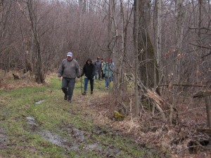
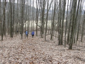
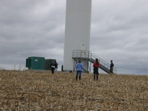
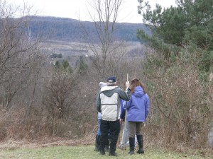
We had a great hike Sunday at Tumble Hill. Eleven hikers enjoyed the warm weather hike. Tumble Hill is situated on 67 private acres with varied terrain and great views. Wind Farm above Tumble HillThe climbers followed an old logging road up through the hardwoods to the top of the hill where they could observe a large windmill farm in operation. We were able to use the pavilion at Tumble Hill for our “afterhike” social.


Overlooking Cohocton from Tumble HillThank you Tumble Hill