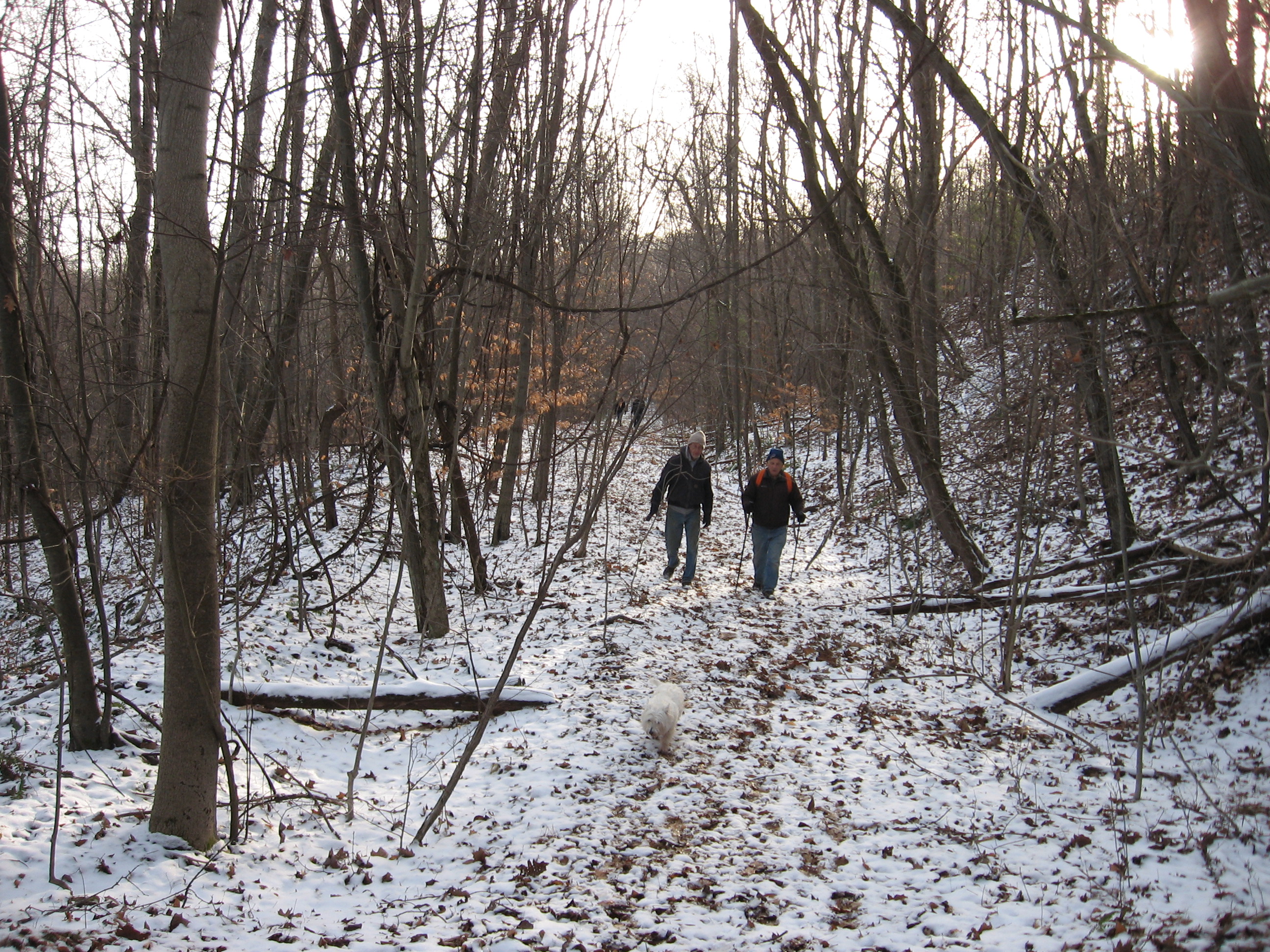
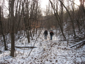
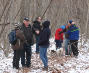
 Over 25 hikers attended the Springwater Trails hike on the old railroad bed between Becker Road and Depot Road in the southwest corner of Springwater. This hike was followed by our Holiday Social at All Western Evergreen Farm.
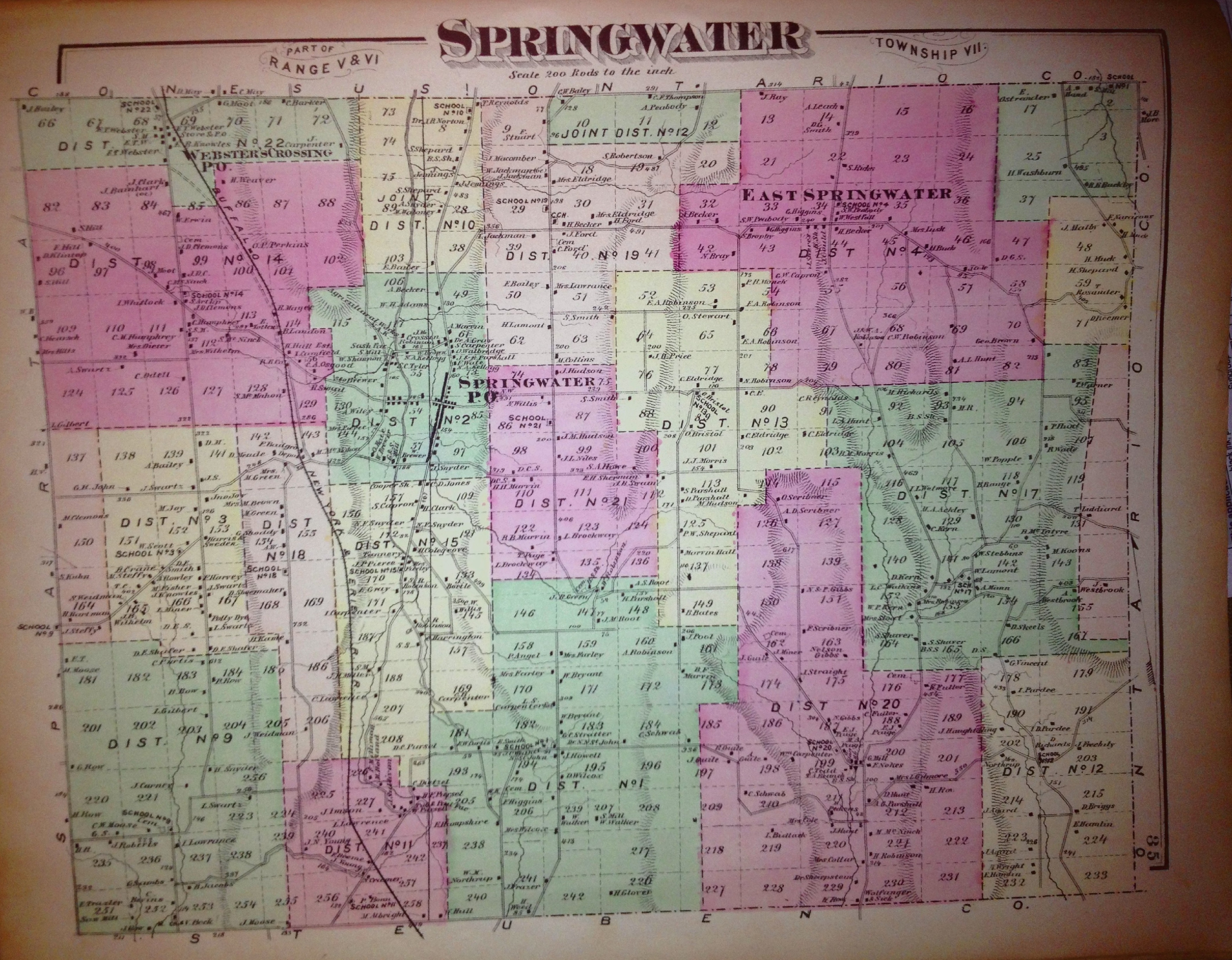
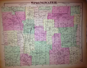
The Rochester Branch of the Erie Railroad ran from Corning to Rochester, through Wayland, Springwater, Livonia and Avon. The map above is from Atlas of Livingston Co. New York published by F. W. Beers & Co., 1872, and shows the route of the railroad through Springwater. You can click on the map to see a higher resolution image.
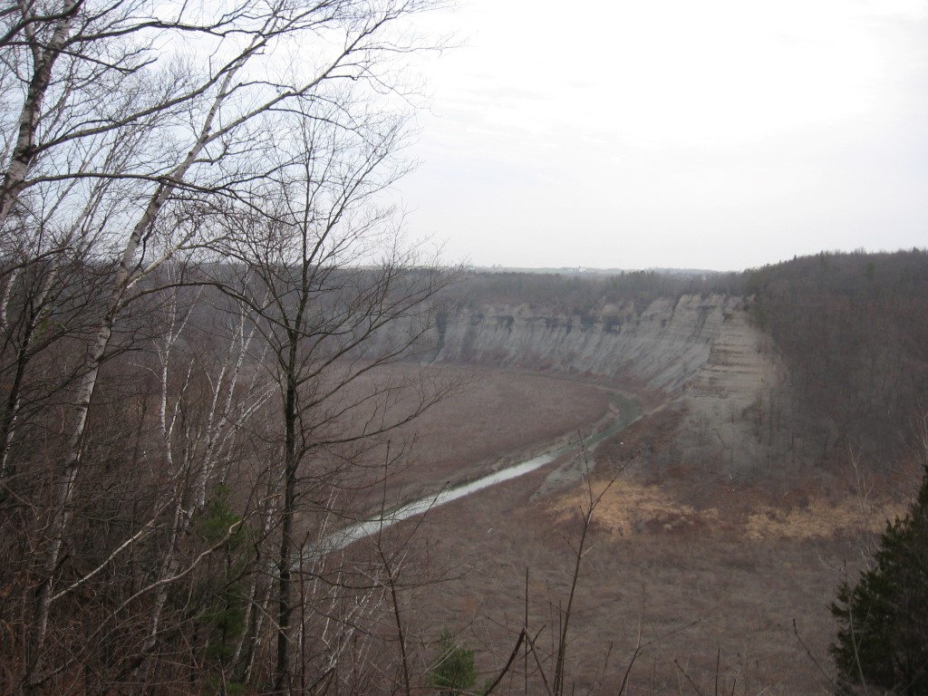
 We started on Becker Rd and hiked through section 187 on the map and the north end of Lawrence Gull. The old railroad bed is on private property, and Rick was able to get permission from the various land owners, making this a very special hike.
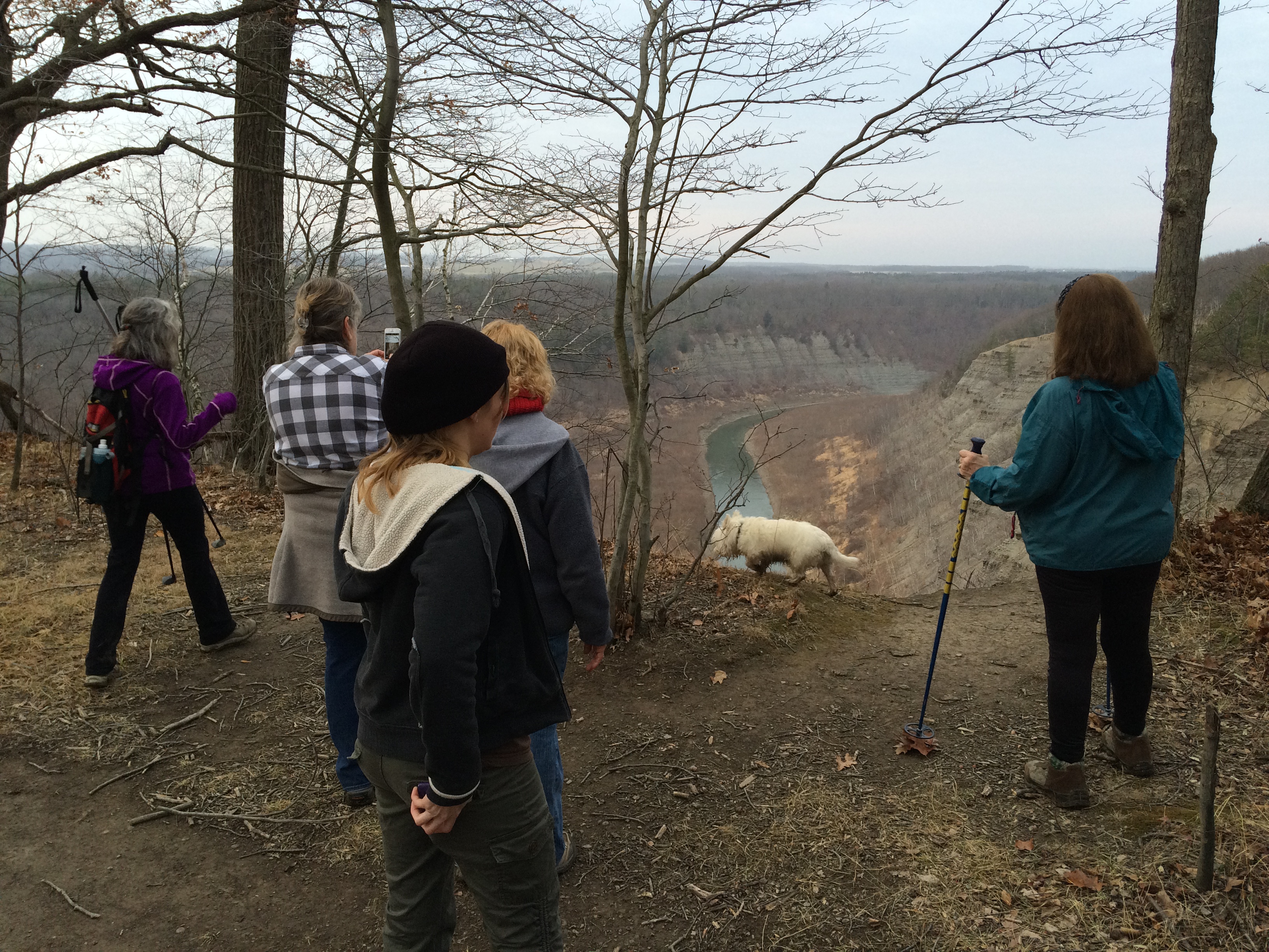
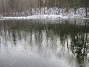
The railroad bed runs along the side of the hill between Lawrence Gull and Harpers Ferry Roads. The bed is on a level route about 1400ft above sea level, but the land is much more interesting, with gullys filled in for the railroad and cuts through the hill. With no leaves on the trees, the forests were open for us to see.
 This rail bed would definitely make a wonderful part of the Springwater Trail. This hike has encouraged us to pursue this possibility. Any landowners interested in allowing Springwater Trails, Inc. to mark a trail open to the public, please contact us for more information.
The Climbers started hiking at the McTighe pond, and climbed out of the valley to the rail bed. The McTighes have graciously allowed our group to hike on the rail bed in the past, and they remember freight trains passing through Springwater. After hiking to the northern-most point of the hike, the climbers turned around and met the Tourists. The dogs were excited to say hello.
 Join us next Sunday at Harriet Hollister Spencer Recreation Area. Days are getting longer already, so next Sunday sunset is 4 minutes later than this past hike (note that the day is only 1 minute longer, because sunrise is also later).

 The Town of Springwater was formed by an act of the Senate and Assembly of the State of New York on April 17, 1816, with an effective date of “the first Monday of April next” or April 7, 1817. The first town meeting was held on April 9th, 1817. Elected at the first meeting were a Supervisor, town clerk, 3 assessors, 3 commissioners of highways, 3 school commissioners, 2 overseers of the poor, 2 school inspectors, a constable, 11 path masters who also served as fence viewers, and 2 pound masters. Several men served in multiple posts.
 An Atlas of 1872 shows that many of the current roads in the town were well established 55 years after the creation of the town. Click on the image for a full size copy of the atlas page.