East Hill, Dansville – October 19 – 2:00PM

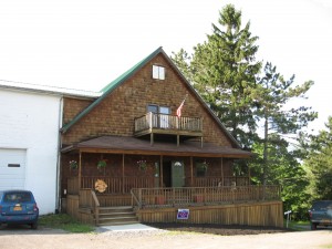
This IMG_0609week’s hike starts at Ann and Rick Laffords, 6270 McNeil Hill Rd. To get there from Main St. in Dansville, heading south on 63 leaving town, take Sahrle Hill Road, bare left until on top of the hill, then left on Sterner until it turns into McNeil Hill Rd. Follow McNeil Hill Rd until the dead end. Rick & Ann’s home is on the left. Parking is at the dead end turn-around or in the driveway. All hikers will start at Ann and Rick Lafford’s home. We will have a social after the hike at Ann’s and Rick’s. Please bring a dish to pass and your beverage – or make a donation to the social fund.

IMG_0002 Climbers

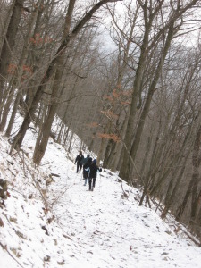
This week’s walk will cover approx. 5 miles of tree farm and forest terrain, some of it following logging trails. The hike involves two climbs of approx. 400’ but these are separated and occur over a ¼ and ½ mile distance. There is one steep descent down a logging trail.

IMG_0603Tourists

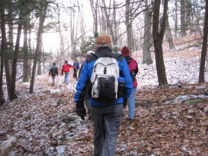
This week’s walk will cover approx. 4 miles of tree farm and forest terrain, some of it through old vineyard. The hike involves one climb of approx. 300’ and another of 200’ but the slope is gentle and this is a relatively easy hike.

Naturalists
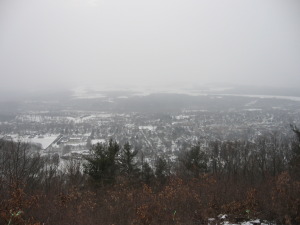
IMG_0013This walk includes the hang-glider launch site, tree farm and forest, all on a well-groomed trail, with only moderate ups and downs.

Social

Following the hikes, you are invited to stay for a social at the house.  Please bring a dish to pass or make a small ($5) donation to the social fund to help cover supplies and our hosts’ costs.  Also, please bring your own beverage – which also should be a reminder to bring water for the hike.  Even in cooler weather it remains very important to stay hydrated during our hikes.

Directions

Check here for detailed directions.

The Missing Sneaker – Hiking the Canadice Lake Shoreline – October 5, 2014

007

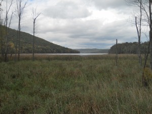
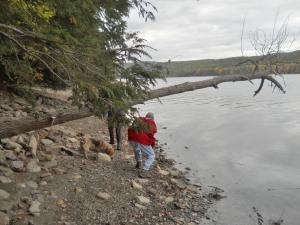
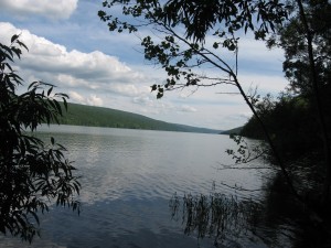
Don was right…you can’t walk the entire shoreline of Canadice Lake.   Wetlands at the southeast end of the lake prevented a hiker from continuing along the east shoreline when he was sucked into the mud and couldn’t get out.   Luckily he managed to escape, leaving his sneaker someplace behind for a artifact to be found someday.  006In the meantime, on the other side of the lake, 13 hikers followed the grassy trail around the south end of the lake, dropping down onto the shoreline past the marshy area. 4 hikers completed the hike all around the lake, sometimes accessing the road for a break from the stones or marshy areas, traveling  at least 3/4  of the shoreline area for a total of 8 miles. Others hiked almost 6 miles of shoreline for pick up at the boat launch.

013Tourists walked half way down the lake on the rocky west shoreline, making a unanimous decison to pick up speed on the upper grassy trail.  While Pati entertained us with stories of an old indian village buried 80 feet under the lake, others navigated the shoreline stones, occasionally climbing over downed logs. Climbers continued on the entire west shoreline and both groups met up at the spillway area about the same time.

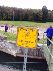
photo 2Thanks go out to the City of Rochester for allowing us to access the restricted area at the north end of the lake.   Without water overflowing into the spillway, the dam area felt like some sort of  terrain park or play land for skateboarders or trick bicyles.   Crossing the bridge, we observed the waters from Canadice Lake being passed through the gate into the Canadice Outlet which eventually flows into Hemlock Lake 4 miles downstream.  Many mills were built on the outlet area in the mid 1800’s to take advantage of the power these waters created, dropping 200′ from Canadice to Hemlock Lake with no dam to control the outflow.

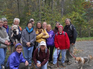
After hike social was full of surprises, including our usual healthy food, lasagna and dehydrated apples.  A surprise guest from Kentucky joined us for our hike as he was traveling through the area. 018 Bill Cooke, former CPA for the Environmental Protection Agency presented a slide presentation on his book Shades of Gray, Splashes of Color – A Thru-hike of the Colorado Trail.  Thanks Bill for sharing your 482-mile backpack journey with us and also for the pictures provided for this hike.  Bill may be hiking the entire Finger Lakes Trail next year and possibly we can join him someplace on the way.  Start your Christmas shopping list:  good hiking boots, carrying pack, light weight tent, sleeping bag and pad, small cooking equipment, and dehydrated foods.  Men usually carry about 40 lbs on their back, women 20 lbs.  Anyone want to train?

Eagle Crest Winery Hike and Social – October 12, 2014 at 2:00PM

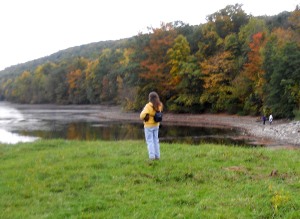
IMG_0235Our annual autumn hike at the Eagle Crest Winery will take place Sunday, October 12.  Joan and Bob are planning a hike to explore the DEC and Nature Conservancy land around the Winery with an emphasis on an up close view of the working vineyard.  With a bit of help from the sun, we also expect to enjoy the fall colors around Hemlock Lake. The hike will be followed by wine tasting and a potluck social at the winery.  Come try the “No Frackin’ Way” Wines and take home a bottle at the special hikers price. Please bring a dish to pass for the outdoor social.

IMG_0227We will meet at the Eagle Crest Winery parking lot off of Mission Rd. (42.739874,-77.622831).

The Naturalists will carpool to Rix Road and the Hemlock outlet. If you would prefer to avoid the hill climbs, please come 10 minutes early so that the carpool can be organized.

The Tourists and Climbers will explore the Nature Conservancy land that surrounds the Winery, and the vineyard itself.  Some hikers will climb to the lake and explore the narrow strip of land that is part of the Hemlock Canadice State Forest.

IMG_0094WFollowing the hike, we will meet at the tent outside the winery for an optional social. Please bring a dish to pass or make a contribution to the social fund.

Directions:

From Springwater: Take Rt 15N from the intersection with 15A for 8.2 miles. Stay straight onto CR 56 (Federal Rd) when Rt 15 bears to the left. Take the first right onto Durkee Rd, then left at the tee onto Partridge Corners Rd, the first right onto Bishop Rd, and the second left on Mission Rd and then right onto Vineyard Rd.  The parking lot is 0.2 miles down Vineyard Rd.

From Hemlock: Take Rt 15A south for 0.7 miles past the intersection with 20A from Honeoye. Turn right on Rix Hill Rd at the north end of Hemlock Lake.  Go up the hill and turn a sharp left onto Blank Rd.  Stay on Blank Rd when it becomes a dirt road and then becomes Mission Rd (which is paved).  Vineyard Rd is on the left 1.4 miles from the dirt road, and within sight of the end of Mission Rd. The parking lot is 0.2 miles down Vineyard Rd.

Canadice Lake west side trail South Trailhead – Directions

There is a service road along the west side of Canadice Lake which is a favorite spot for walks and hikes.  The trail has a trail-head at the north west corner of the lake on Purcell Hill Rd and another trail-head at the south end of the lake on Canadice Lake Rd.  These directions are for the southern trail-head.

NOTE: The southern trail-head is south of the entire lake, and should not be confused with the canoe/kayak boat launch.

From Springwater: Purcell Hill access: Go North on 15A for 7.6 miles.  Turn right on Purcell Hill.  At the end of Purcell Hill Rd, turn right onto Canadice Lake Rd on the east side of the lake.  The Trail-head is 3.6 miles south.

From Springwater: Johnson Hill access: Go North on 15A for 2.7 miles. Bear right on Old Bald Hill Rd S and then an immediate right on Johnson Hill Rd. Take the first left onto Canadice Lake Rd. The Trail-head is 1.1 miles north of Johnson Hill Rd.

From Honeoye: Take Co Rd 37 South from 20A, Turn right after 3.7mi to stay on Co Rd 37. Stay straight onto Burch Hill Rd. At the lake, turn left onto Canadice Lake Rd. The Trail-head is 2.8 miles south of Burch Hill Rd.

From Hemlock and Rochester: Take NY Rt 15A south from Rochester through Lima and Hemlock.  Just past Hemlock, Rt 20A  goes left.  Continue straight on 15A for 3.2 miles after 20A.  Turn left on Purcell Hill.  At the end of Purcell Hill Rd, turn right onto Canadice Lake Rd on the east side of the lake.  The Trail-head is 3.6 miles south.