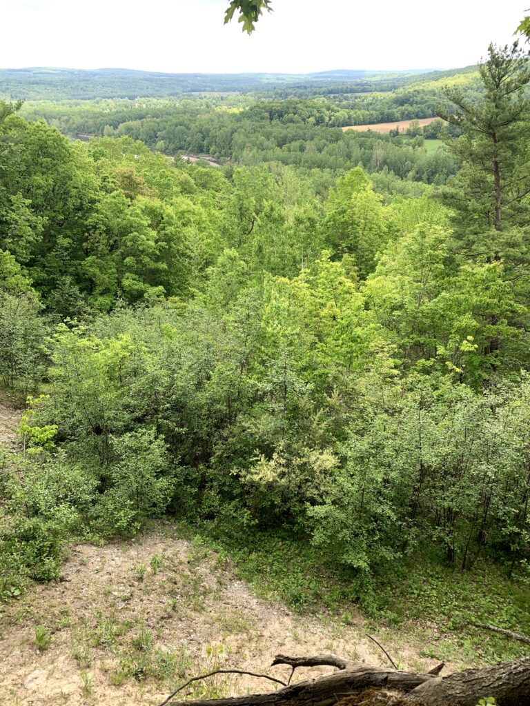
This Sunday’s hike will complete Springwater Trails tour of the Finger Lakes Trail between the Bristol Hills Branch and the Letchworth Branch. This hike should be an enjoyable end to the series, walking through some interesting landscape carved by the Genesee River, with views from high above the Genesee River. 
We will all meet at the Whiskey Bridge across the Genesee River. According to the Briidgehunter website, local legend gives two possible origins for “whiskey” bridge: the Irish immigrants who built the bridge drank so much whiskey it was called whiskey Bridge; OR Livingston county was “wet” and Wyoming county was “dry”, so whiskey was hidden under bridge and smuggled across.
At any rate, the bridge was lost in 1972 to the Agnes hurricane and was replaced by a “through truss” bridge we will see on Sunday.
After our group picture by the bridge, we will car pool to S. River Rd to start the hike. The hike starts in the woods, with interesting plants on either side, including – according to the FLT map description – some poison ivy. The trail continues along a sharp ridge with views to the south and west across the river valley. We will sign in at the register before beginning a gradual descent through some recent logging and past farmer’s fields. The blazing of the trail along the farmer’s road is occasionally difficult to follow, including at a left turn to follow the road down hill along the edge of a slope.
After passing farm equipment and buildings, we will emerge onto Bailey Rd. A left turn out of the gate will follow Bailey Rd up to Whiskey Bridge and our cars. We will walk across the bridge and check out the connections to the Genesee Valley Greenway, the FLT Letchworth Branch and the main Finger Lakes Trail in Wyoming County. The total hike is about 2.5 miles.
After a carpool back to pick up cars left on S River Rd, thirsty hikes can cross the bridge and head north to the Letchworth Pines in Portageville.
Directions:
From Springwater: Take NY-15 south to Wayland. Turn right on NY 63 to Dansville. Turn left onto Ossian St (NY 36 North). In half a mile, continue straight on Ossian St onto NY 436 W. In 19 miles, after passing through Nunda and continuing past an entrance to Letchworth State Park, to cross the Genesee River into Portageville, turn right to stay on NY 436. Rt 436 ends at NY 19A. Turn left on 19A for 0.7 miles. Turn left onto Bailey Rd and cross the Whiskey Bridge. Turn left onto Bolton Rd and park.
From Geneseo: Take NY 63 S toward Mt Morris. Curve left to continue on NY 408 under I-390 Continue on NY 408 for 13.3 miles through Mt Morris to Nunda (there is a left then right jog at Main St in Mt Morris to stay on 408). At Nunda, turn right on NY 436W for 6 miles through Portageville. Turn left on 19A for 0.7 miles. Turn left onto Bailey Rd and cross the Whiskey Bridge. Turn left onto Bolton Rd and park.
From Hornell: Head north on NY 36N for 10 miles. Turn left onto CR 70 for 10.2 miles. You will pass the intersection with NY 408. followed by Oakland Rd. Turn left onto CR 2 (Main St). In 1.3 miles, turn left on Short Track Rd, then right onto Stillson Rd. In 1.2 miles, turn right onto Pennycook Rd, then left onto Bailey Rd. In 1.7 miles, pass the bridge and park.
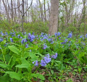
 Mother’s Day is traditionally the peak time for the Virginia Bluebells along Mertensia Creek. Bring your mother, or any mother, or just come on your own to the park for a short walk along the creek enjoying the bluebells, followed by a walk or bike ride on the Auburn Trail, which passes through the park. This will be a self-guided event; you can head east through a new section of the Auburn Trail ending at Route 332, or west toward Victor, as far as you’d like and back. Weather permitting, bring a sandwich or snacks to enjoy afterwards beside the creek at the park.


