
8664 Schribner Road
Wayland, NY 14572
USA
 This week we are returning to Schribner Valley to explore the forests in the area. We will gather at the Hopkins house. Early arrivals will want to take note of Marty’s pipes holding up the refurbished dock.
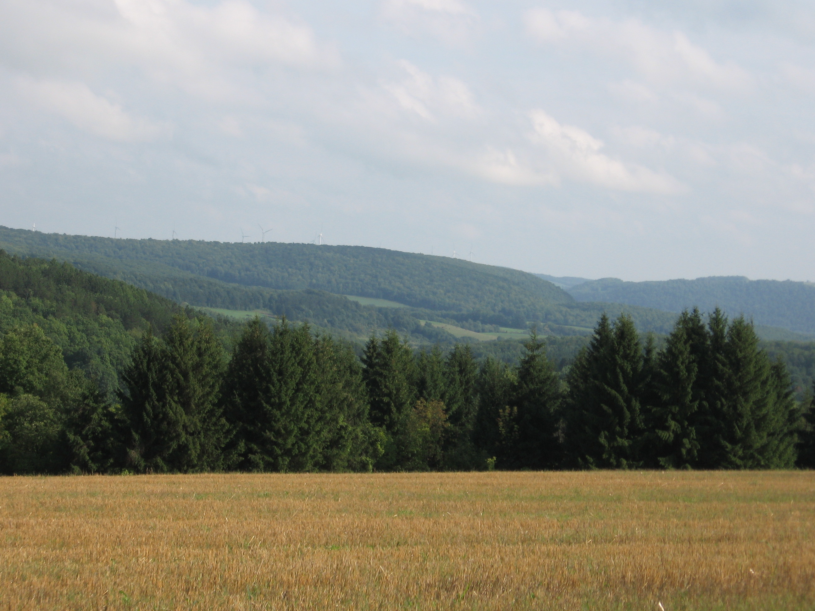
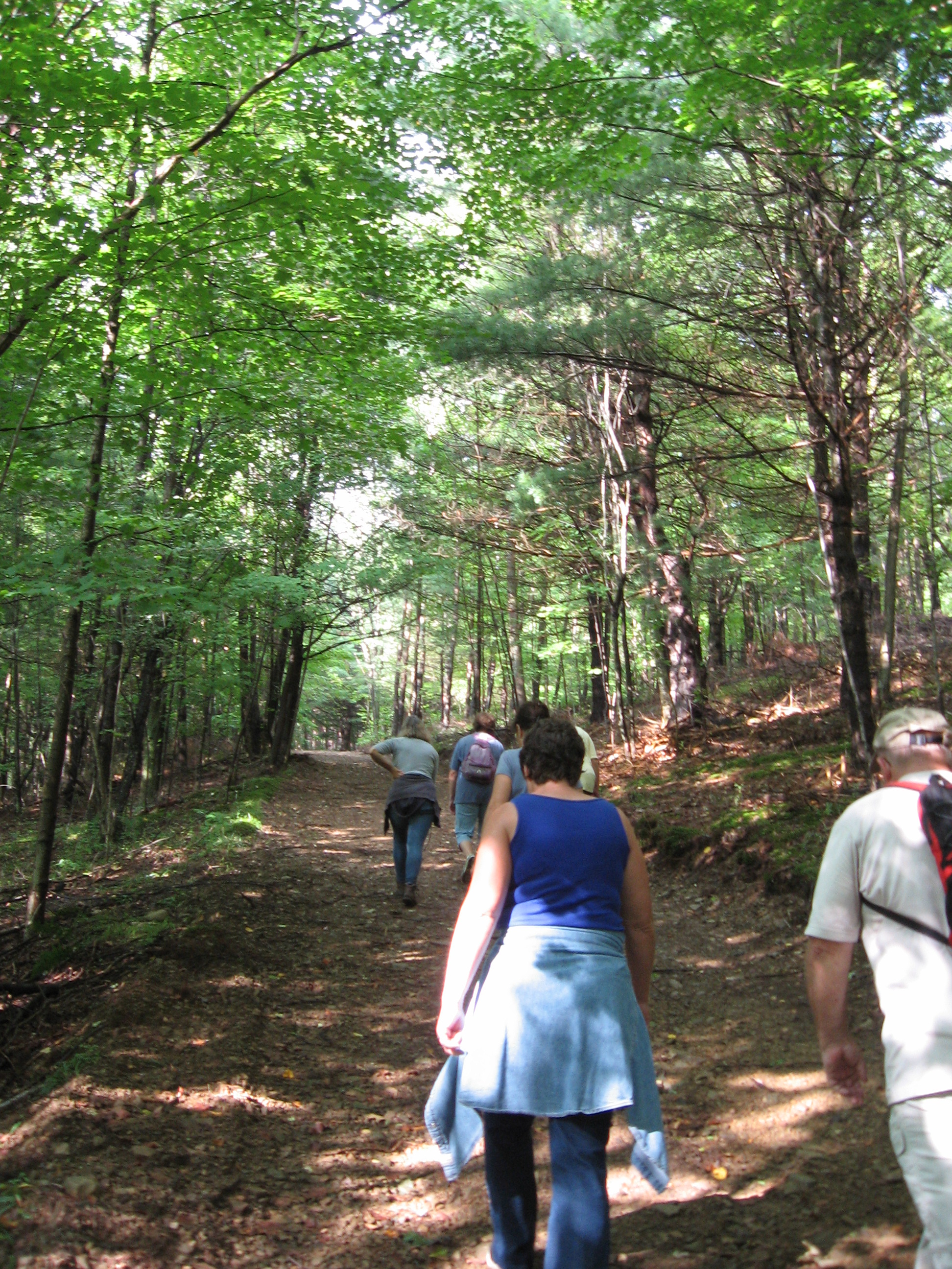
We expect to split into two groups. The Climbers will head up the Schribner Rd for a hike through several of the managed forests in the valley. The tops of the hills, where most of the farming in the area is done, provide some beautiful views. But primarily we will walk through the forests and enjoy the cooler temperatures provided by the shade.
 The Naturalists will take a more level route up the Giles valley, across a rock bridge. Expect one gentle down and up hill as we enjoy nature.
Following the hike, join us for a picnic and fire by the pond. If you want to test the docks, be sure to bring your bathing suit.
Directions
Expect from 1 to 2 miles of dirt road, depending on the route you select. But both Schribner and Giles roads as passable for passenger cars.
From Springwater: Head south on Rt 15A from the light in Springwater. Take the first left on Marvin Hill Rd. Bear right at the Y onto Strutt St Continue straight onto Quanz Rd when Strutt St bears right. Quanz Rd is a dirt road. Stay on Quanz Road past Fox Rd. Take the first left turn after Fox Rd onto Giles Rd. ().7 miles from Strutt St). Follow Giles Rd to the intersection with Schribner Rd. The driveway is on the right about 10 feet past the intersection with Giles Rd. (Total 2 miles of dirt road)
From Wayland: From Rt 15, head east on Rt 21 toward North Cohocton for 3 miles. Turn left on Tabors Corners Rd (Steuben Co Rd 37). After 2 miles, turn left on Schribner Rd (the second left). The driveway is the 2nd driveway on the left one mile up Schribner Rd and about 10 feet before the intersection with Giles Rd. (Just 1 mile of dirt road)
Nice hike and nice job, guys, on the dock – great pipes!