When: January 5, 2025 @2pm-4pm
Please join us on 1/05/25 at the NW corner of Hemlock Lake (42.77772, -77.61891) to hike Bur Oak Trail and the Walnut Trail, both on State land within the Canadice Hemlock State Forest. One section is a snowmobile trail and the other travels thru the woods parallel to the shoreline. For those who enjoy stony beach walking, there will be an opportunity for that too.
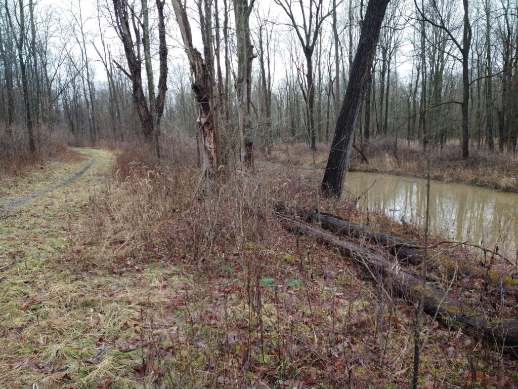
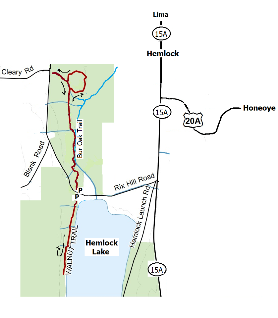
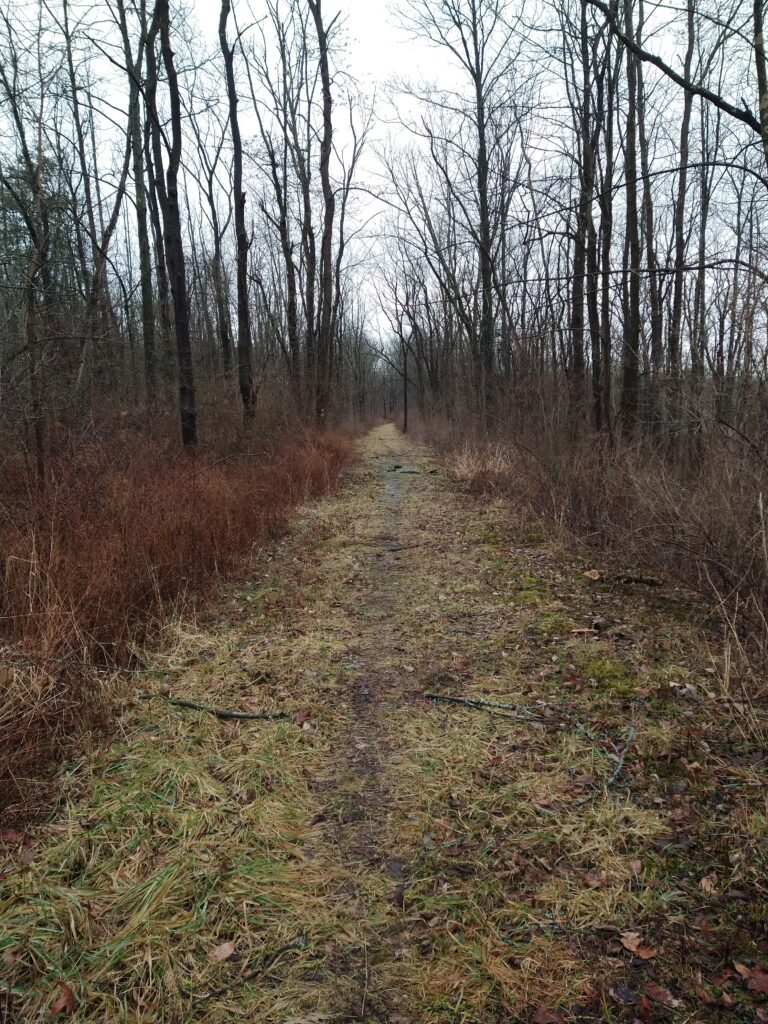
Bur Oak Trail – This trail is a well-marked 3-mile snowmobile trail winding through the woods, crossing small streams, running alongside the Hemlock Lake outlet stream, then gradually heads uphill to a gate and the upper loop. The loop will take us thru an open field, by a few ponds, a marsh, and then up near the top of Blank Road. At that point, you return the way you came. Many side trails just fizzle out so stay on the main trail.
Walnut Trail – This trail follows an old road near the northwestern shore of Hemlock Lake. You might find the ruins of foundations of the former homes that once were on the lake. There are a couple of deep ravines the trail traverses. The trail ends at the second deep ravine about 3/4mile in. Just before that ravine, there is a short trail to the left, that leads to an iron plate off of some old equipment.

Meet at 1:45pm at the northwest corner of Hemlock Lake at the Rix Hill Road trailhead parking area just west of the Hemlock Outlet and Hemlock Lake State Park. There are small parking areas on both sides of the road, and a kiosk on the south side.
Naturalists will first follow the Bur Oak Trail north for about 1/2mile and then return to the start. Then they will cross the road and continue on to follow the Walnut Trail south through the woods for about 1 1/2 mi round trip. This requires some agility in stream crossing. At the end of the trail, we will vote on either returning the way we came or take a path down to the shoreline, walk a bit, then head back to the parking lot.
Bring good waterproof winter footwear and poles. Those wanting a shorter hike will have ample opportunity to bail out as we pass the starting point. At the end of Walnut Trail, there is a very steep climb that some bold hikers take down the ravine to get to the shoreline. It is advisable that if you want to walk the beach, it might be safer to double back the way you came to where a flagged path makes a much safer trip down to the water. There is another flagged path to get back up to the trail, and then back to the parking lot.

Directions: from Honeoye and points east: From Honeoye, continue west on Main Street (Route 20A) to Route 15A in Hemlock. Make a left, go a half mile, and take a right on Rix Hill Road. Pass the park entrance on your left and go over the Hemlock Outlet bridge. The parking areas will be on both sides of the road, or park on the shoulder.
