
We were greeted by Dave Wright of the Victor Hiking Trails group, who gave a brief description of the history and growth of Fishers Park. We filled up the parking area and discussed the only difficult section, and that all members should be able to manage in one group for the 2.8 miles with one steep hill climb.
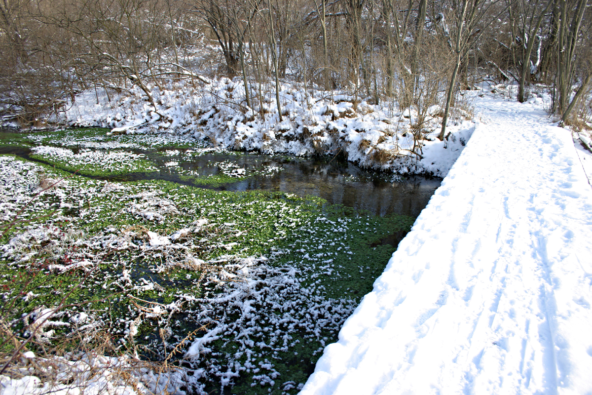
Irondequoit Creek, Jan 2007
Our hike started with a short walk along and across the Irondequoit Creek. followed by a boardwalk path across one of the wetland sections of the park. There are several sections of wetlands due to the many springs emerging from the ground and base of the hills. These springs are the old Genesee river returning to the surface from the gravel that the last glacier left in the river course. The former course of the Genesee came west from Rush and turned north at Fishers, carving the Irondequoit Bay on its way to the lake. After the Wisconsin glacier retreated about 12,000 years ago, the Genesee made a new course to Lake Ontario, but some of the water still flows through the glacial fill, and returns to it’s former course as the Irondequoit creek.
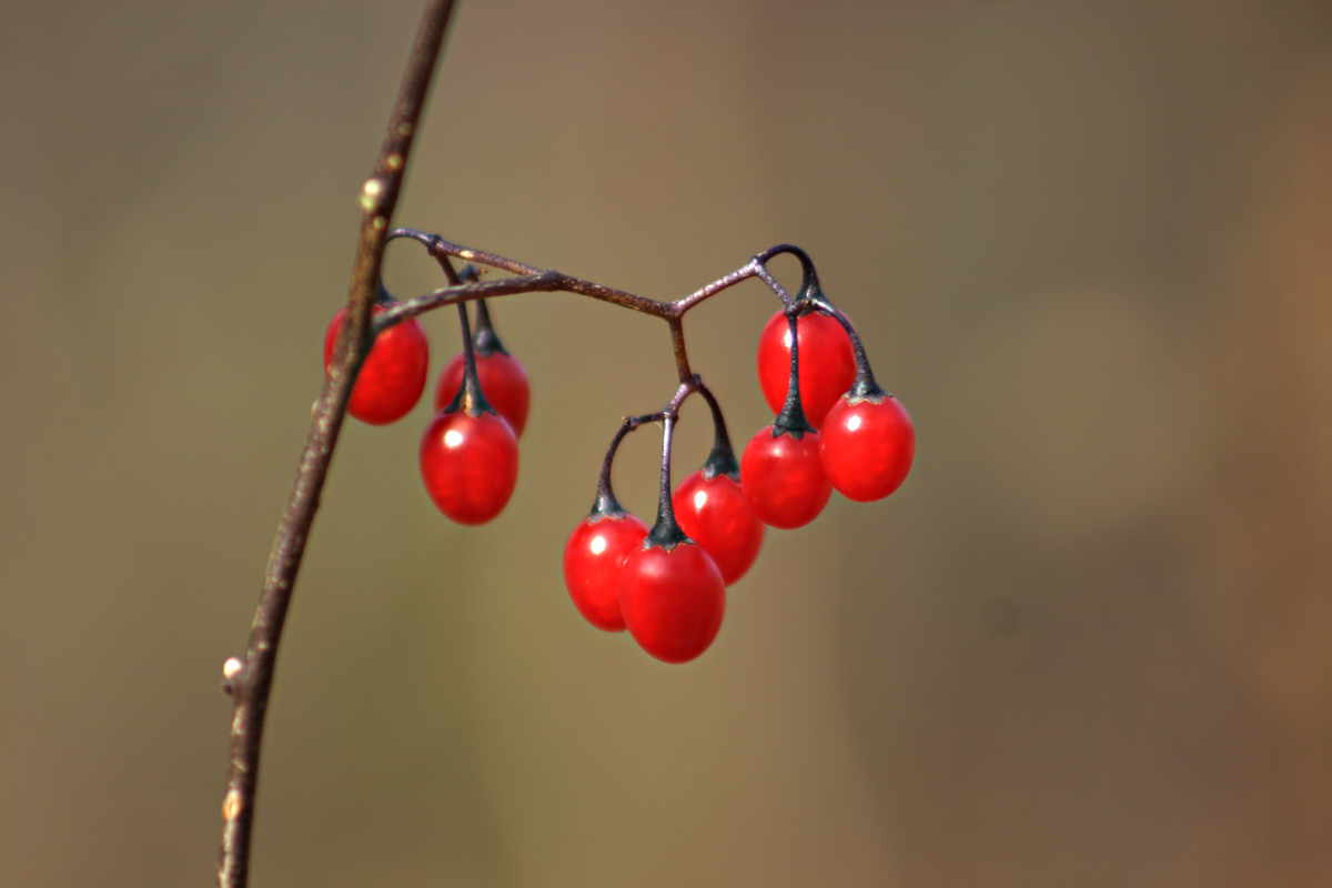
Nightshade
Gene pointed out some nightshade fruits along the boardwalk, and described them to the group. This section of the trail has reeds and cattails with some aspen growing in the swamp.
The trail led to one of the many small tributaries of the Irondequoit creek that start in the park. We meet a group with 3 Weimaraner dogs before moving on. We cross a bridge over this stream to see it’s clear fast flow over white sand, with watercress and mint growing in the stream. This stream does not freeze, and the plants stay green through the winter. There are many sections of the park that stay green due to the springwater keeping it near 40F.
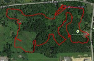
Click for an interactive map of this hike.
The trail returns to the Irondequoit creek, to follow upstream for a short stretch. We look for salmon, but do not see any. Newton takes a plunge in the deep pool, and does not stir up any salmon either. The trail brings us to a small pond that is fed by several springs at it’s bottom, seen as deep blue holes. There are often ducks here in the winter, since this pond does not freeze, but we see none today.
Now the trail leads to a grassy meadow with some rolling hills. I describe the Nordic skiing in this section. We gather for a group photo at the iron sculpture of a heron made by artist, Wendy Rust. The trail leads to a small ridge with a bench to sit and enjoy the view over the meadow and the surrounding forest.
I show the group a large cherry tree, which contains a very active beehive, but it is too cold for bee activity today.
Now the trail leads through a mature hardwood forest with several varieties of hickory identified by Georgia. We go off the trail to look down at the wetland below. I describe this kame delta feature to the group. This is where a stream across the glacier carried a variety of sand, gravel and stones and deposited them on a delta formation on the edge of the ice sheet. When the ice sheet retreated, it left this complex of steep ridges and valleys.
We follow a gentle valley back to the wetland edge, and follow a trail to an active spring at the base of the ridge. I had to clear away the beech leaves that were hiding the spring, to reveal some red back salamanders. Char gets a close-up photo. Then we climb the steep face of the ridge. The entire group meets at the top to enjoy the view and recover from the only real challenge in the park.
The trail now leads us through some woods, which we sort of agree may be a very old apple orchard. The trail leads out to a clearing and trailhead near the tennis courts and we regroup for the final section along the creek back to out starting point. We again look for salmon, but do not see any here.