
Hikes led by Springwater Trails are generally held on Sunday afternoons and appear in this calendar in green.
| Sun | Mon | Tue | Wed | Thu | Fri | Sat |
|---|---|---|---|---|---|---|
| Stid Hill North 4:00 pm Stid Hill North @ North tract parking lot Jul 5 @ 4:00 pm – 6:00 pm  The scheduled Tumble Hill hike has to be changed because the Rec Center is not unconditionally open, and the river is full of downed trees. Stid Hill WMA is a DEC managed property consisting of two tracts in Bristol and … Continue reading | VHT hike at Robert H Treman Park 8:00 am VHT hike at Robert H Treman Park @ Robert H Treman Park Jul 11 @ 8:00 am – 4:30 pm Victor Hiking Trails (VHT) will be leading a hike at Robert H Treman Park, near the Ithaca area, on Saturday July 11th, 2015. This hike is part of the monthly guided hike series of VHT. (***** Please note!! – accept apologies … Continue reading Genesee River Paddle – with the Genesee Valley Conservency 9:00 am Genesee River Paddle – with the Genesee Valley Conservency @ Mount Morris to Indian Fort Jul 11 @ 9:00 am – 2:00 pm  The following event is planned by the Genesee Valley Conservency. Bring your own craft and enjoy the beautiful waters of the Genesee River. Drop your craft in Mount Morris (behind Park Inn Liquor/Genesee Valley Resturant) (someone will keep an eye … Continue reading Ontario Pathways – Seven Saturday Hikes, one each month 9:30 am Ontario Pathways – Seven Saturday Hikes, one each month Jul 11 @ 9:30 am – 11:00 am Meet at the designated locations by 9:30. April 25th. Meet at the New Covenant Baptist Church Parking lot on County Road 46. Hike Main St to CR 46. (3mi) May 9th. Meet at the New Covenant Baptist Church Parking lot … Continue reading | |||||
| Parish Hill Hike 4:00 pm Parish Hill Hike @ green cabin Jul 12 @ 4:00 pm – 6:00 pm 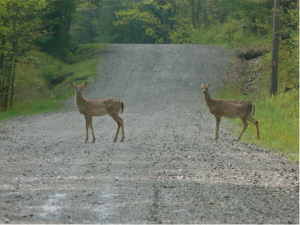 Our hike will begin on Dewolf Rd above Naples and around the corner from HiTor WMA. This is a portion of the Bristol Branch of the FLT. From the parking area off Dewolf Rd, we will walk along the FLT to … Continue reading | ||||||
| Bristol Branch of the FLT 4:00 pm Bristol Branch of the FLT @ parking area Jul 19 @ 4:00 pm – 6:00 pm 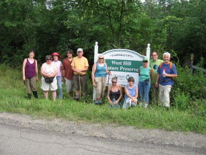 This Sunday, we will hike a 4 mile section of the Bristol Branch of the Finger Lakes Trail. On the FLT map of this section, it is from Access 4, on Seman Rd., into the West Hill Nature Preserve, to … Continue reading | ||||||
| A woods walk to Clark Gully Waterfall 4:00 pm A woods walk to Clark Gully Waterfall @ Hi Tor Jul 26 @ 4:00 pm – 6:00 pm 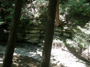 East of the southern end of Canandaigua Lake is a part of High Tor known as South Hill. This portion is composed primarily of 1,000 acres of overgrown fields with steep wooded hillsides. According to Indian legend, South hill is known … Continue reading |
We will hike the North tract and meet at the parking lot on SR64 1.4 miles North of the Bristol Mountain Ski area entrance, or 0.6 mile North of Lock Stock and Barrel. If coming from the North it’s a little over three miles south of the Bristol town center at the intersection of SR64 and CR32. It’s easy to see, look for the DEC sign on the East side of the road. The parking lot is adequate but not overly large so park with that in mind. There is a Stid Hill South parking lot near the intersection with CR34 which is not where we will be, so don’t go there.Victor Hiking Trails (VHT) will be leading a hike at Robert H Treman Park, near the Ithaca area, on Saturday July 11th, 2015. This hike is part of the monthly guided hike series of VHT. (***** Please note!! – accept apologies for any inconvenience if you saw this hike initially listed as Fri 7/10/2015, there had been a planned campout for Friday with the hike on Saturday, but the campout had to be cancelled. The hike for Saturday is still ON.******)
Carpool will form behind Victor Town Hall, located at 60 East Main Street in Victor,NY (GPS = 42.9821448,-77.4087837 ), with intended leave time of 8:00AM on SATURDAY July 11th, 2015.
This hike locale of Robert H Treman Park is one that would be a bit far for Springwater Trails (S/T) to put on the S/T hiking schedule. So if you wanna enjoy this park in the summertime with a group of hikers similar minded to the S/T hiking group, this hike may be for you. Many waterfalls in Enfield Glen are a highlight of this park
Time guesstimates: Carpool at Victor 8:00AM ; At Robert H Treman Park ~ 10:00AM ; Hike ~3-4 hours ; Back in Victor at Town Hall ~4:30PM.
For further details/updates about this hike, check the VHT website. If you wish to meet the VHT group at Robert H Treman Park (rather than carpooling from Victor), you will need to coordinate a meet locale thru VHT hike leaders.
7/9/2015 update: Thoughts for your hiking comfort in shifting gears from our recent rainy grey skies to Saturdays predicted warmth and high sunshine angles. Checklist: Hat with a visor or brim that will stay on in windy conditions, and not end up in the glen. Sunglasses to cut reflection off the water and from overhead sunrays, again that will stay on. Light highly breathable clothing for sun reflection to prevent sunburn. Sunscreen on uncovered areas including you face.
The following event is planned by the Genesee Valley Conservency.
Bring your own craft and enjoy the beautiful waters of the Genesee River.
Drop your craft in Mount Morris (behind Park Inn Liquor/Genesee Valley Resturant) (someone will keep an eye on your gear as you go to park), then proceed to the Indian Fort Nature Preserve to park your vehicle (this will be the ending point of the float). Transports will bring you back to Mt. Morris to start the float.
Meetup and parking will begin at 9am and we’ll get started on the water at 10am.
We’ll make a stop and provide some snacks, feel free to pack a lunch if you like!
*There is no cost, but you will be asked to sign-in and complete a waiver at the event.
*Event supported by Steuben Trust Company
update 7/9/2015: Thoughts for your paddling comfort in shifting gears from our recent rainy grey skies to Saturdays predicted warmth and high sunshine angles. Checklist: Hat with a visor or brim that will stay on in windy conditions, and not end up in the river. Sunglasses to cut reflection off the water and from overhead sunrays, again that will stay on, perhaps with a floating lanyard. Light highly breathable clothing for sun reflection to prevent sunburn. Sunscreen on uncovered areas including you face.
Meet at the designated locations by 9:30.
April 25th. Meet at the New Covenant Baptist Church Parking lot on County Road 46. Hike Main St to CR 46. (3mi)
May 9th. Meet at the New Covenant Baptist Church Parking lot on County Road 46. Hike CR 46. to Depot Road (5mi)
June 6th. Meet at Depot Road. Hike Depot Rd to Stanley Junction (3.8mi)
July 11th. Meet at BOCES parking lot. Hike Stanley Junction to Boces (3.5mi)
August 15th. Meet at the Orleans water tower. Hike Boces to Orleans (4.5mi)
September 12th. Meet at Rt 96 trail head. Hike Wheat Rd to Rt 96 (3.8mi)
October 10th. Meet at Gifford Rd. Hike to Wayne county line and back (3.6mi)
You can download a PDF with more information.

Wildlife on Dewolf Rd
Our hike will begin on Dewolf Rd above Naples and around the corner from HiTor WMA. This is a portion of the Bristol Branch of the FLT.
From the parking area off Dewolf Rd, we will walk along the FLT to Wood Hill Rd. Wood Hill is a seasonal road. Climbers will branch off to continue left, following the signs along the FLT trail to the jump off then backtrack to the Wood Hill Rd trail, walking down hill to Bassett Rd. Making a right on Bassett, they will be passing rolling hills and farmland. Bear have been spotted along this road. Making another right onto Brink Hill Rd, a border line of HiTor, where there are often ruffed grouse and woodcocks along the roadway. Watch for deer and turkey as well. At the stop sign, make a right on Dewolf Rd walking until you arrive at the cabin with the green roof. Approximately a 4 mile square.
Italy Valley View
Tourists will make the same 4 mile square minus the jump off trail. However there will be another view of Italy Valley along Wood Hill Rd for Tourists to enjoy.
Naturalists will make the hike thru the FLT meadow to Wood Hill Rd then decide if they would like to venture along the FLT to the jump off or perhaps walk left along Wood Hill Rd which is flat and easily walkable. They will backtrack along Wood Hill Rd to the FLT sign turning right into the meadow until they reach Dewolf Rd and the cabin.

Wood Hill Rd
The 4 mile square passes by a pond and meadow, thru the woods to a view of Italy Valley, next to the Flint Creek and along HiTor WMA. Please wear appropriate clothing to cover for ticks and bring a walking stick for Wood Hill Rd as it has had much erosion this spring. If you would like to leave your food at the cabin prior to the hike, please come a few minutes early to do so.
Parking will be along the roadside by the cabin.
Meat will be provided, please bring a dish to pass, a chair and your drink. Or make a contribution for future hikes.
Directions from Naples:
From Naples/ Main St. travel SOUTH to join Rt. 53S, up the hill out of town.
Turn LEFT on Yates County Rd #21/ Italy Valley.
Turn LEFT at the curve onto Bassett Rd. Church on opposite corner.
Turn LEFT on Brink Hill Rd.
Turn RIGHT on Dewolf Rd. to cabin with green roof. Easily seen from the road.
Note: An alternate route is possible from Rt 245 following Parish Hill Rd past Lower Rd to a left on Shay Rd, then right on Dewolf Rd. This is approximately 4.3 miles of dirt road (about 4 miles more dirt than the preferred Bassett Rd route).
Caution: Dewolf Rd dead ends south of the cabin and can not be driven from Wood Hill Rd. Do not follow Wood Hill Rd from either end, even if your GPS insists.
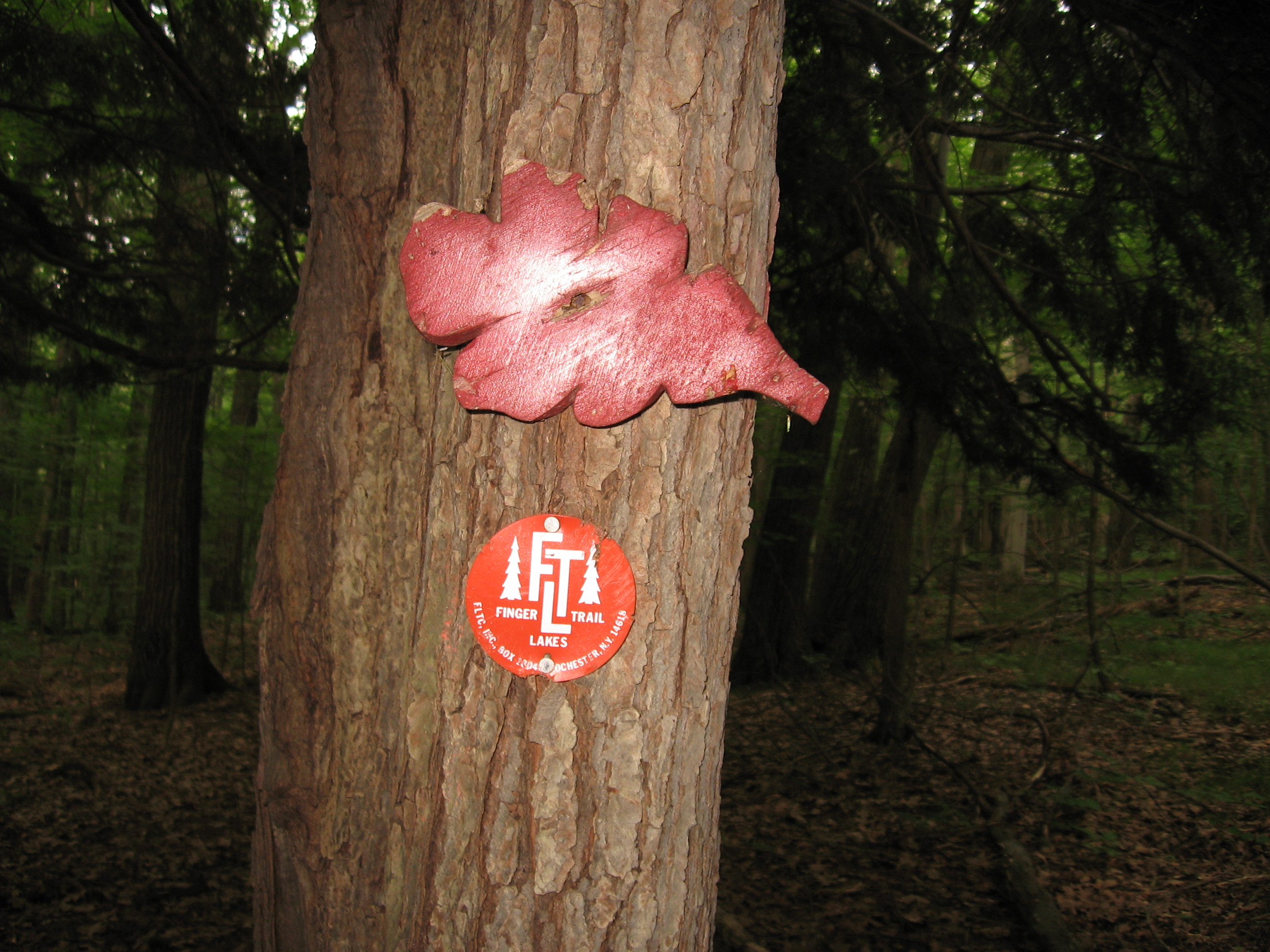
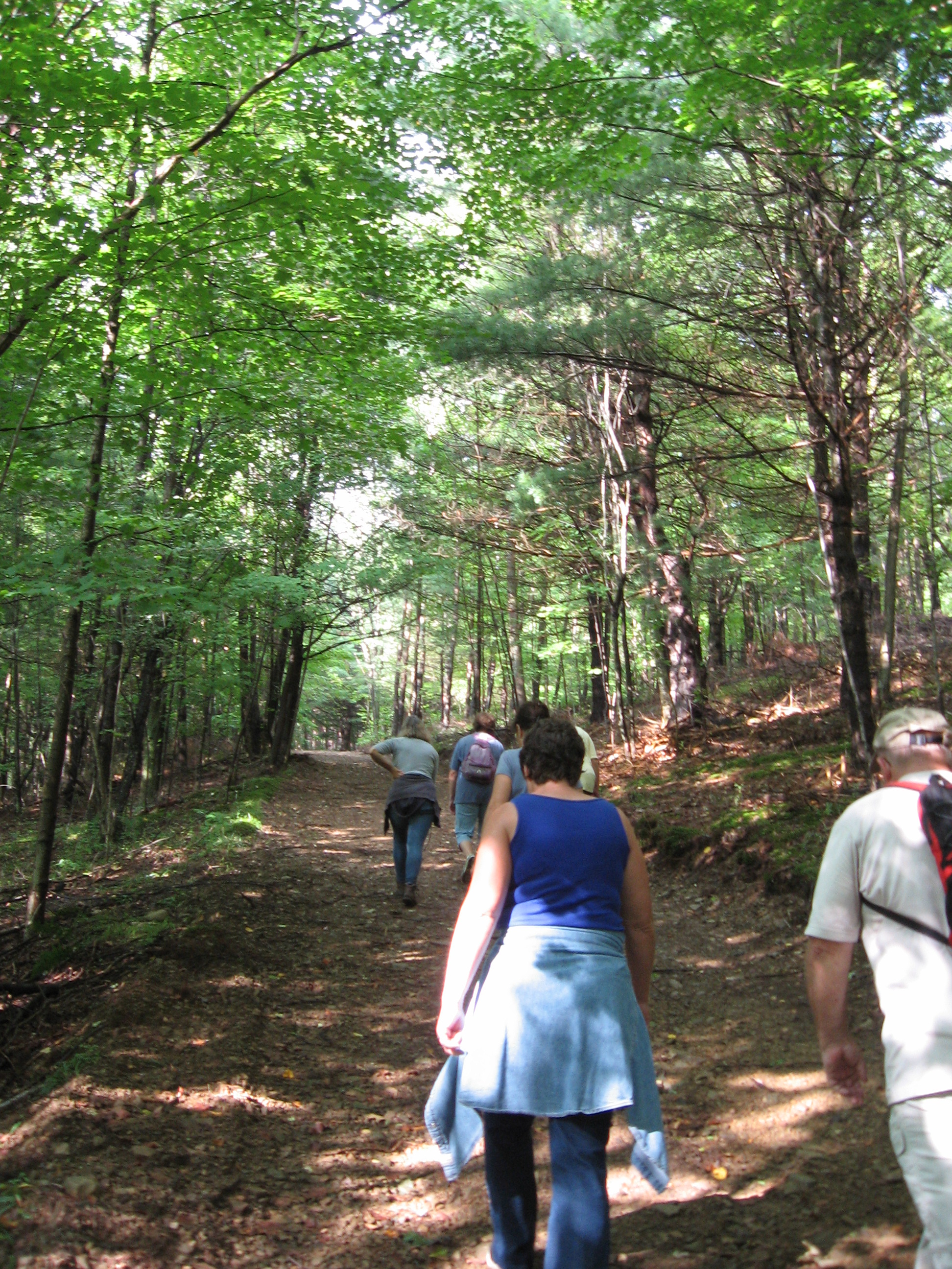
 This Sunday, we will hike a 4 mile section of the Bristol Branch of the Finger Lakes Trail. On the FLT map of this section, it is from Access 4, on Seman Rd., into the West Hill Nature Preserve, to Access 5, DEC garage on SR 245. FLT maps are available, at reasonable cost, from the FLT web site, www.fltconference.org. The trail is well marked with orange blazes. The Springwater Trails officers have decided to have our group maintain this section so, this will give you a chance to see what needs to be done and if you would like to join us on a maintenance day, sometime next month.
We will meet in the large parking lot, in the back of the Naples Community Park on Route 245. From here, we will carpool to the starting spots. Climbers will go to the parking lot in back of Bob and Ruth’s. and walk down Fried Hill Rd. to the trailhead. There is a steep uphill climb right at the start.
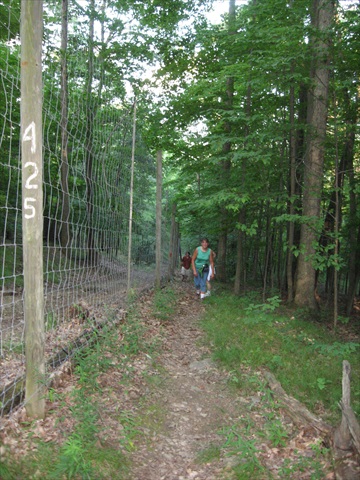
 Tourists will go to Seman Rd. where there is a small parking area at the trailhead. They will enter the trail at the West Hill Preserve, a fairly flat area, marked with orange discs, instead of painted blazes. The 2 groups will meet each other around the middle of the trail, at which point, after a car key exchange, each group will continue to their respective finishes. In case you’ve forgotten from last time, avoid going near the electric fence.
 The trail is about 4 miles and has some steep hills so, the naturalists, who want to avoid them, can remain in Naples Park. There are some fairly level trails there with lots of raspberry bushes, with the berries being at the peak of ripeness. If you’d like, I can show you where there is a patch so large, I picked 4 quarts of berries there in one day.
After the hike, we will all convene at the Naples Community Park for our picnic social. There are 2 pavilions and 1 of them should be available. In case they’re not, you may be advised to pack some lawn chairs and I’ll have a folding table, if needed. The park has portapotties for your relief convenience, or you might prefer to use the bathrooms at the side entrance of Bob and Ruth’s. Otherwise, you know the routine. Bring a dish to pass or make a donation.
To get to Naples Community Park, from the village, proceed north on Route 21 and turn right on 245. The park is about half a mile on the right.
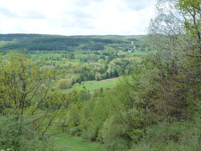
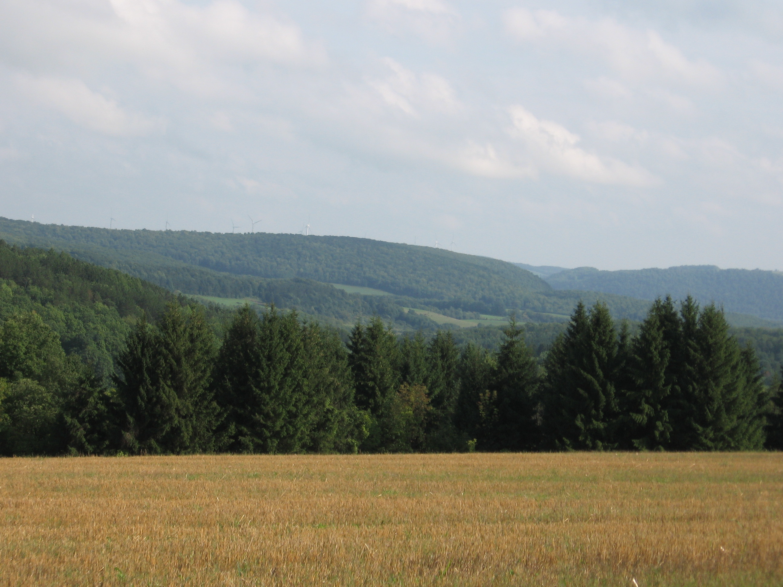
East of the southern end of Canandaigua Lake is a part of High Tor known as South Hill. This portion is composed primarily of 1,000 acres of overgrown fields with steep wooded hillsides. According to Indian legend, South hill is known as the “Birthplace of the Senecas”. The open areas on the top of South Hill offer excellent scenic views of the Naples and West River Valleys.
This week we will hike the top of the hill and follow the Clark Gully down to a secluded waterfall.
Hike Discription:
Hikers will split into 3 groups:
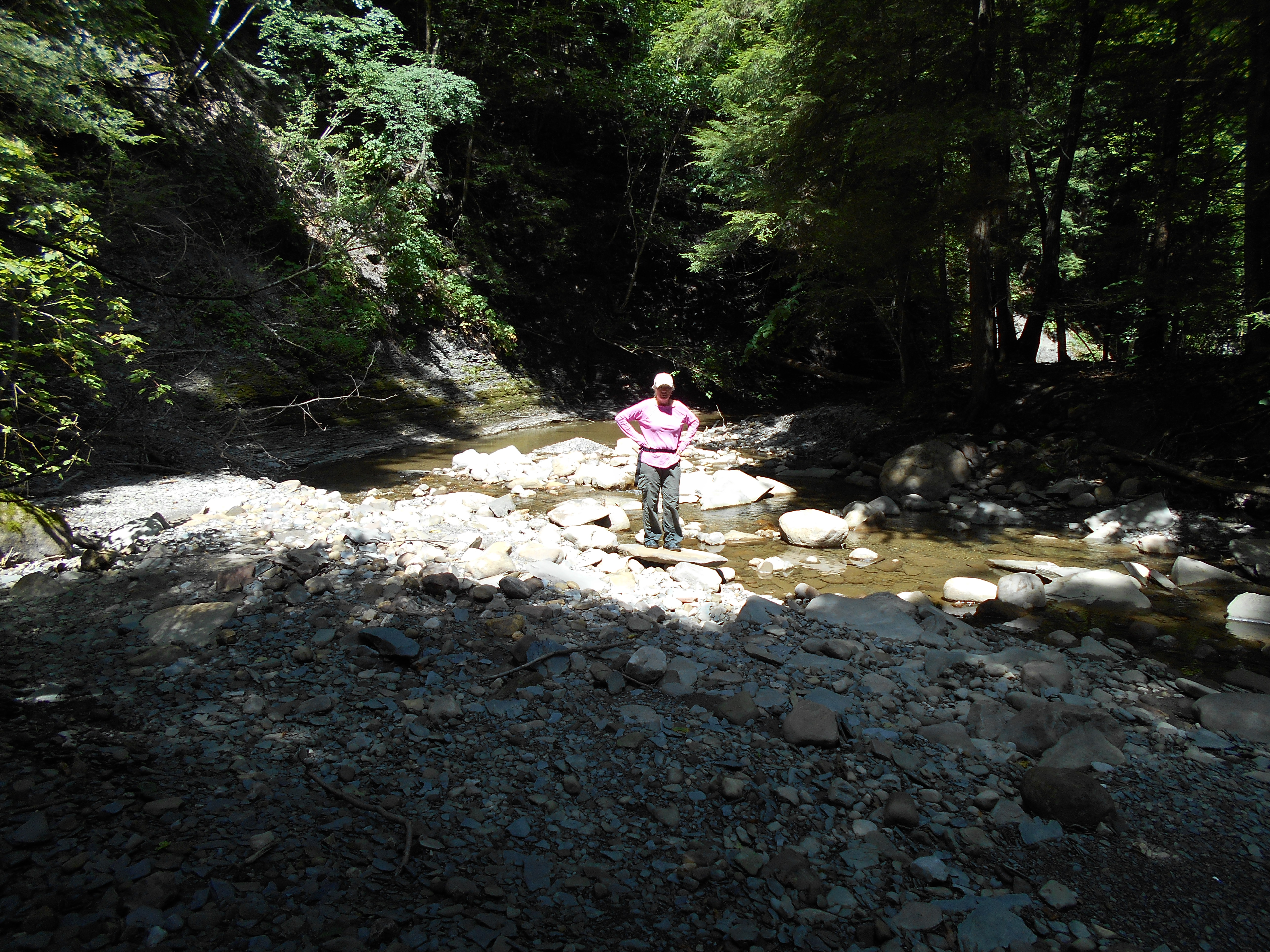
Due to temperature and high degree of dificulty, Climbers may wish to postpone the climb from the bottom parking lot that was done last year and elect to hike in from the top at the north end of the park to the waterfall area and return by way of the creek. most of the creek can be hiked without entering the water but there might be spots where you may need to enter the water to cross. This was hiked last week and water levels less than one inch were encountered.
Tourists will drive to the north parking lot on top of the hill. They will hike into the waterfall area passing through wild flower meadows and wooded areas along the way. They will return back to the cars along a service road.
Naturalists will also drive to the north end of the park and enter a service road that goes most of the way back to the waterfalls area. The last 200-300 ft hiked will be on a marked trail that goes gently down hill to the waterfall. Along the way are wild flower meadows off to the side. Most of this walk is in the shade. We will return back to the cars the same way.
Recommendations:
Bring water, bug juice, hat and preferably, light weight pants.
After Hike Social:
Bob and Ruth’s at the corner of RT245 and RT21 in Naples.
Directions :
Drive to Naples. Off Rt 21 across from Bob & Ruth’s, turn onto Rt 245. Drive a few miles toward Middlesex. You will pass a dec boat launch (west river) on the left side. Continue about a mile more and turn left onto Sunny Side Road. Drive about a mile to a “T” in the road. There is a DEC parking lot off to the right. We will all meet there for the hike.
 This week we are returning to Schribner Valley to explore the forests in the area. We will gather at the Hopkins house. Early arrivals will want to take note of Marty’s pipes holding up the refurbished dock.
We expect to split into two groups. The Climbers will head up the Schribner Rd for a hike through several of the managed forests in the valley. The tops of the hills, where most of the farming in the area is done, provide some beautiful views. But primarily we will walk through the forests and enjoy the cooler temperatures provided by the shade.
 The Naturalists will take a more level route up the Giles valley, across a rock bridge. Expect one gentle down and up hill as we enjoy nature.
Following the hike, join us for a picnic and fire by the pond. If you want to test the docks, be sure to bring your bathing suit.
Directions
Expect from 1 to 2 miles of dirt road, depending on the route you select. But both Schribner and Giles roads as passable for passenger cars.
From Springwater: Head south on Rt 15A from the light in Springwater. Take the first left on Marvin Hill Rd. Bear right at the Y onto Strutt St Continue straight onto Quanz Rd when Strutt St bears right. Quanz Rd is a dirt road. Stay on Quanz Road past Fox Rd. Take the first left turn after Fox Rd onto Giles Rd. ().7 miles from Strutt St). Follow Giles Rd to the intersection with Schribner Rd. The driveway is on the right about 10 feet past the intersection with Giles Rd. (Total 2 miles of dirt road)
From Wayland: From Rt 15, head east on Rt 21 toward North Cohocton for 3 miles. Turn left on Tabors Corners Rd (Steuben Co Rd 37). After 2 miles, turn left on Schribner Rd (the second left). The driveway is the 2nd driveway on the left one mile up Schribner Rd and about 10 feet before the intersection with Giles Rd. (Just 1 mile of dirt road)
Did you enjoy the neat hike on the Bristol Trail on July 19? Did you notice the work that’s needed to make it into a real neat trail, friendly not only for hikers, but also for the Twisted Branch mega marathon runners on August 29, many of whom will be entering this part of the trail in the dark?
So, grab your work gloves, loppers, weed eaters, bowsaws, etc. and join us on Tuesday, August 4 or, if it’s raining, the following day. We’re starting at 8 AM, so we can get done before it gets too hot. We’re meeting at the picnic tables outside Bob and Ruth’s in Naples, to plan our workday. You can get a cup of joe, or anything else you’d like, from their fine breakfast menu. Most important, you can use their plumbing facilities, to start out with an empty storage tank. Donna Noteware is meeting us there, to get us access to the middle of the trail, through Longsdorf Rd. This is where those omnipresent multiflora roses are constantly encroaching on the trail
Hope to see you there. Let’s show how nice our organization can make this trail for our hikers and runners.
Creek waters in August
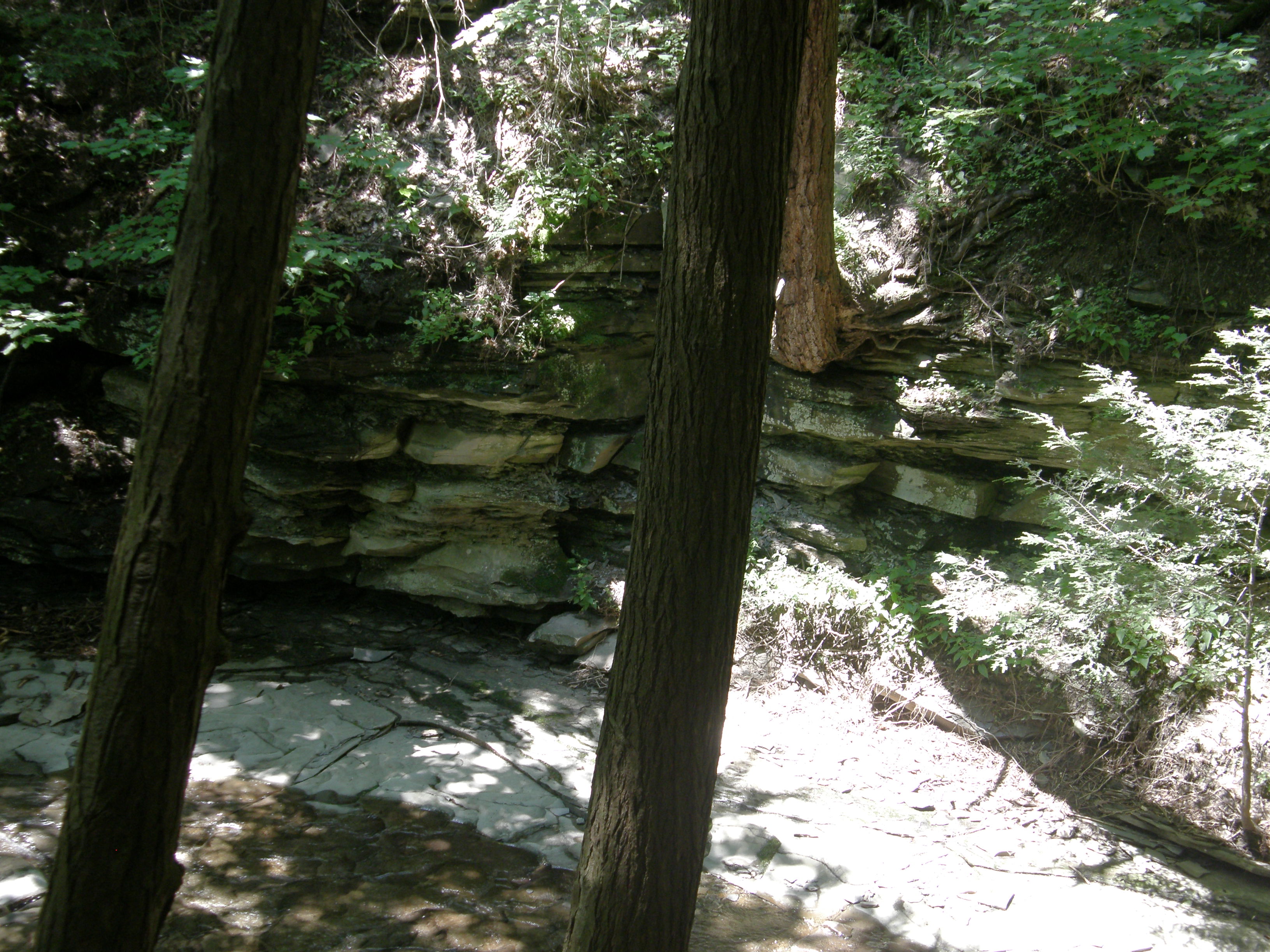
Springwater Trails will join the New York State Forest Owners Association – Western Chapter to explore a unique area in the DEC Hemlock/Canadice State Forest called the Canadice Outlet. The Canadice Outlet cuts through a deep gully on Bald Hill, encompassing more than 700 acres of forest. The Canadice Outlet is a natural fast flowing stream that diverts waters for the City of Rochester from Canadice Lake into Hemlock Lake. Overflow waters continue into the Hemlock Creek, which joins the Honeoye Creek, and eventually flows into the Genesee River and Lake Ontario.
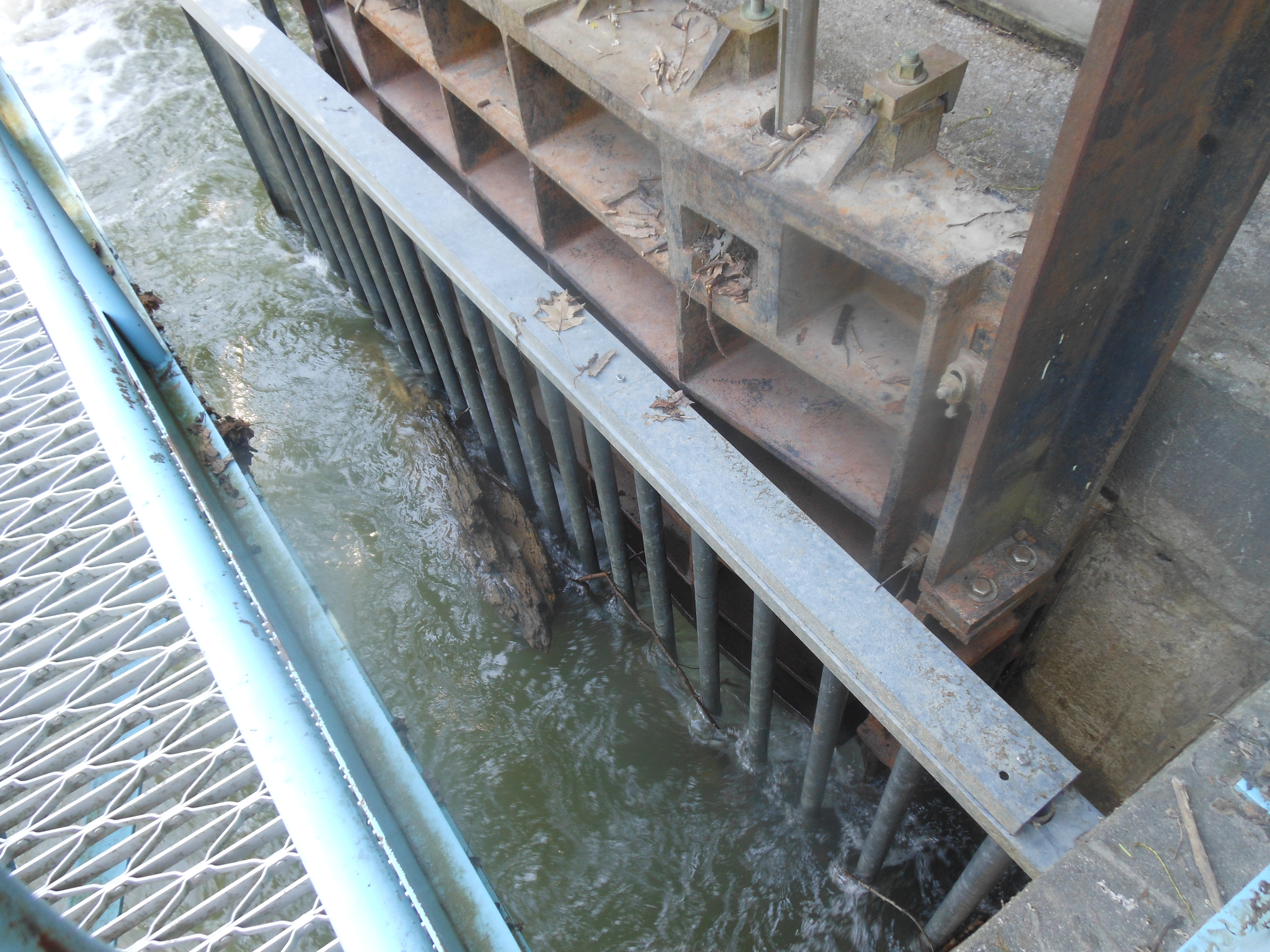
Underground channel transfers waters from Canadice Lake via Canadice Outlet into Hemlock Lake
Hidden in the Canadice Outlet are remains of a former milling town called Dixon Hollow, where 100 years ago local businessmen used the power of the water to fuel their mills. The forested area surrounding the outlet has been untouched for over 100 years and is a precious treasure worthy of conservation.
Inlet to Hemlock from Canadice outlet.
The program will begin promptly at 11:00, so please arrive at 10:45 to park your cars along the road at 5107 Old Bald Hill Road, Hemlock. Access into the Outlet is through private property at this location. After hearing a brief history of the City of Rochester Waterworks, and Dixon Hollow, we will follow an old abandoned road to the creek, noting the diversity of trees, native plants, and geological formations. We will also examine some of the remains of an old saw mill, raceway, grist mill, and bridge that crossed the outlet creek. Wear good hiking shoes, bug repellent, and be prepared with alternative shoes to possibly cross the creek as water levels can change suddenly with summer storms.
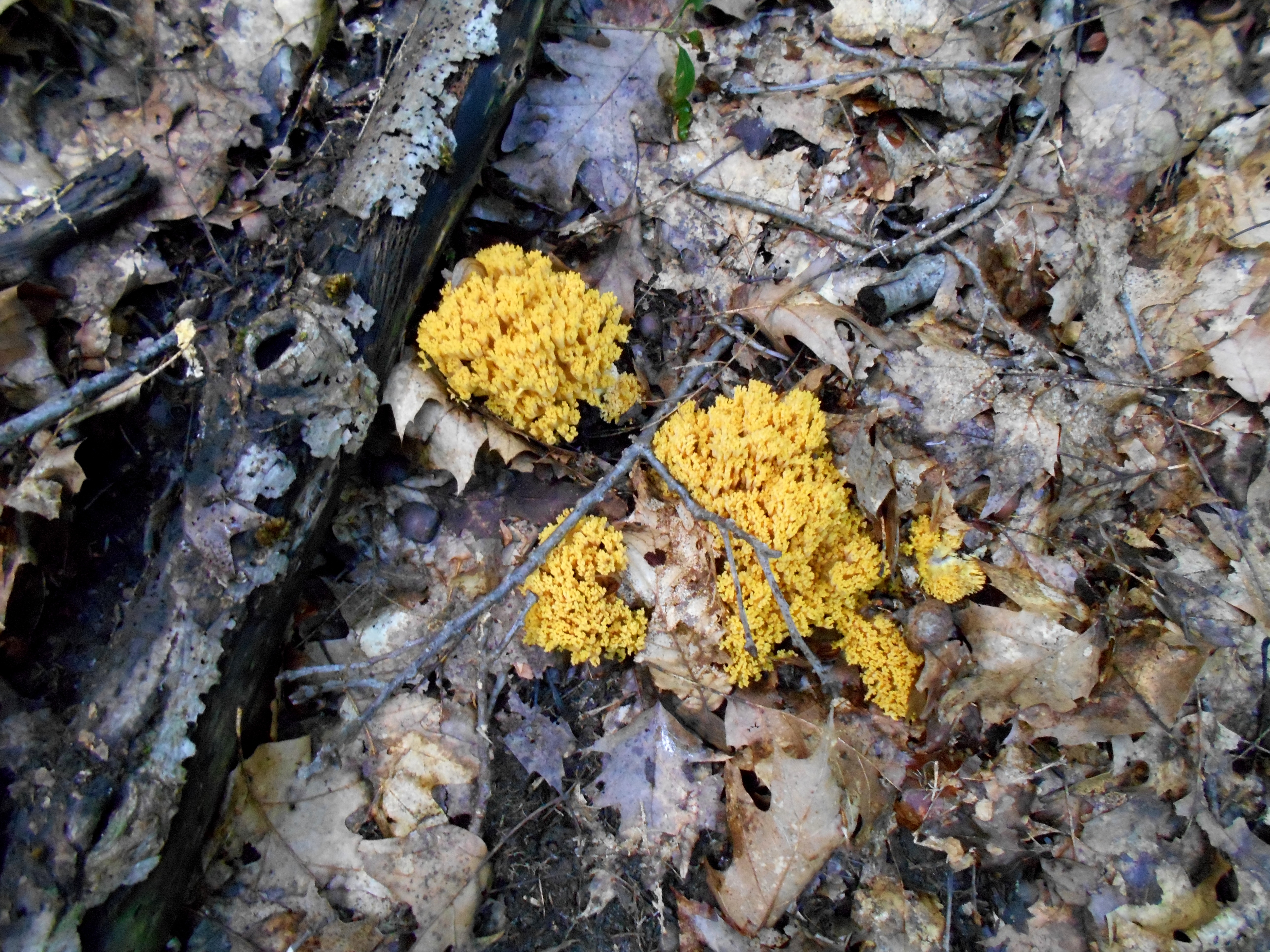
Coral mushroom in August
From this point, hikers will divide into three groups to explore the outlet. Naturalists (beginning hikers) will head to the south, with a slower, less steep walk along the creek. Led by Ellen Folts, owner of Amanda’s Garden, Ellen will identify a variety of native plants that exist in this special environment of a deep gully, creek bed, and forested area. Tourists and Climbers (intermediate and advanced hikers) will take a northern route high above the creek, with some short steep hikes down to the creek bed area. Led by a retired forester, Peter Muench and Pam Masterson, owner of Canadice Kitchens, forestry, history, wildlife, and native plants will be identified and discussed at different locations. The area can be very steep with a predominately red oak and hemlock forest. We will end our hike at the curved dam on Rt. 15A and car shuttle back to our beginning location on Bald Hill. If time and creek conditions allow, advanced hikers may take an alternate route back through the outlet creek area along more difficult steep areas.
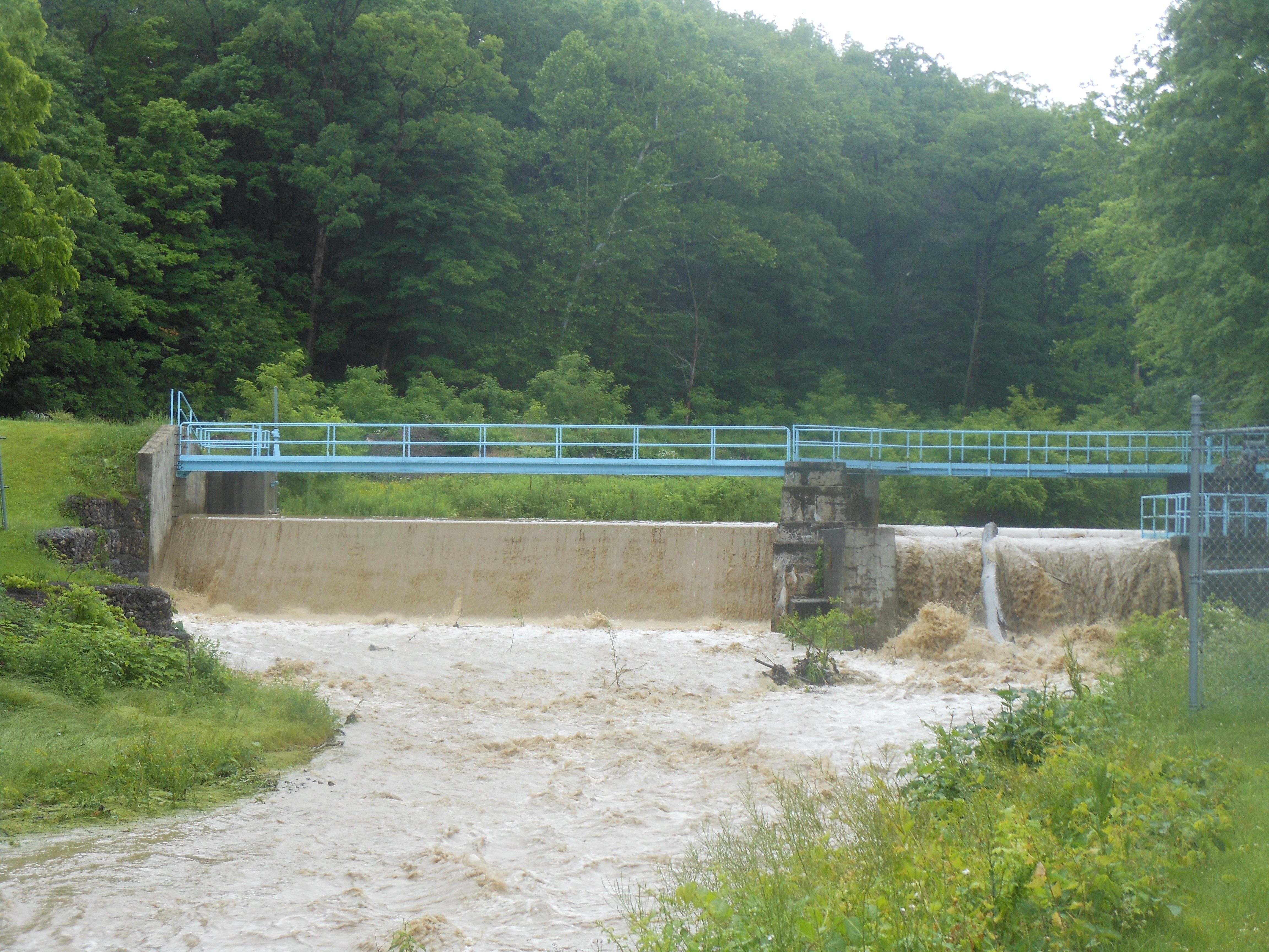
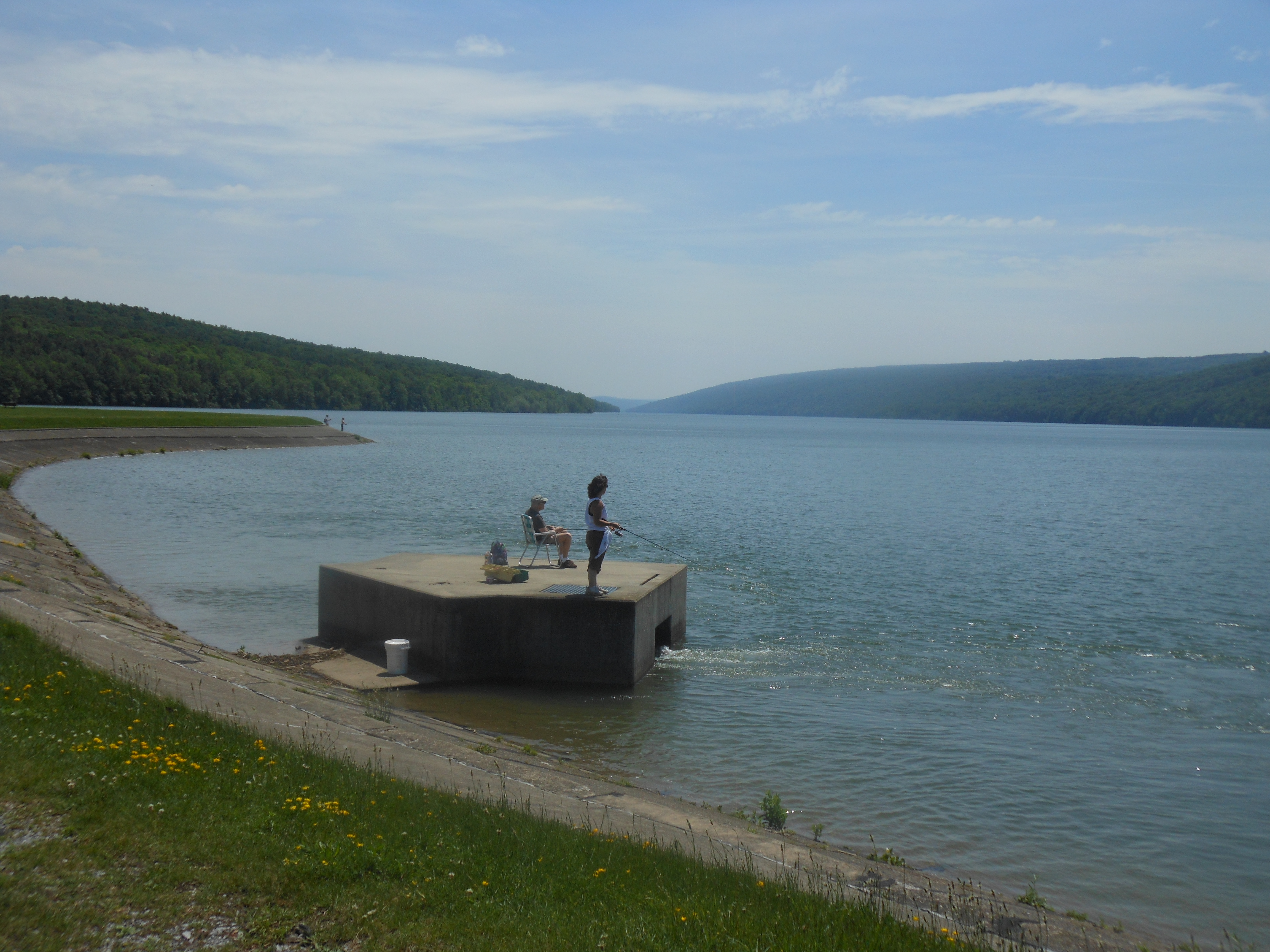
Dam holds up during recent flood of June 14, 2015
During our social hour, local historian Rick Osieki will provide a slide presentation covering the history of Dixon Hollow and the City of Rochester Waterworks. Please bring a dish to pass and your drink of choice.
Directions:
From Springwater and points south: Take 15A North from the Springwater light for 10.1 miles. At the north entrance to Hemlock Park, turn right (away from the park) onto Old Bald Hill Rd. Follow Old Bald Hill Rd for half a mile to the curve. The driveway is on the left at the curve.
From Hemlock NY and points north: Take 15A South from the intersection with 20A light for 0.7 miles. At the north entrance to Hemlock Park, turn left (away from the park) onto Old Bald Hill Rd. Follow Old Bald Hill Rd for half a mile to the curve. The driveway is on the left at the curve.
Looking for brochure.or mailing list so I can receive it in the mail.
Nothing opens up for mailing list.
There’s all kinds of very bizarre ads and post for viagra and other drugs above on calender page.
Please let me know if there’s a brochure available