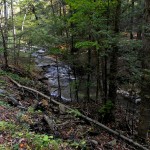
 A section of land between Reynolds Gull and Town Line Road which surrounds the mighty creek of Reynolds Gull, has recently changed hands from the Nature Conservancy to NY
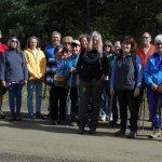 S Parks, Recreation and Preservation. 16 SpringwaterTrail hikers ventured deep into the gully to explore the overgrown logging roads and fingers of Reynolds Gull creek on a beautiful fall day. At this time of the year, water levels from this powerful creek were perfect for creek walking which provided an adventurous experience for all.
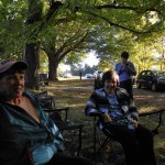 Car pooling and social took place from the historical Evergreen Cemetery which borders Reynolds Gully located on Canadice Lake Road. Thanks go out to Mr. Hoppough and the Evergreen Cemetery Association for allowing us to have our social at the cemetery location and explore the old gravestones of early settlers in the area. It is also reported that there was once a covered bridge that crossed the deep gully below. Maybe future pictures of this bridge and interesting stories about the settlers will appear at some point from Rick Osieki”s website on Hemlock/Canadice history or the Springwater Historical Society.
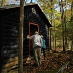
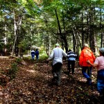 Looking at detailed GPS maps and using smart phones, hikers began their exploration of the creek from the old cabin located near the creek bed. The cabin is open, the pond has been filled in and the old dam has been removed by the Nature Conservancy. According to the Nature Conservancy, these improvements will allow a suitable environment for brook trout to develop. Hopefully, additional trails will be maintained by the state.
Hikers followed many overgrown old logging roads while crisscrossing the stream back and forth according to their skill levels. The “Creek Crossing Award” goes out to John who managed the slippery rocks without getting hurt.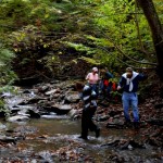
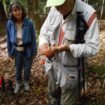 While many mushrooms were identified along the way, none were eaten, and only one was picked. Some hikers decided to” leave no trace” and left the beauty of the mushrooms in place for others to photograph or study. No brook trout were seen nor other wildlife. We hoped to locate the bear cave that we identified two years ago on one of the fingers of the creek, but to no avail, nor any cougar sightings. The sounds of the creek traveling over little waterfalls through the deep gully and the silence of the woods were truly inspiring.
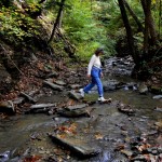
Seven climbers accepted the challenge to explore the creek into unknown territory. Beginning at the cabin, they proceeded downstream, following the creek bed into a deeper section of the gully with the knowledge that they would have to climb out of the deep gorge at some point, possibly near the area of Tamarack Campground. The creek bed became wider along the way as expert creek walkers crisscrossed the creek back and forth, managing to cross on not-so-slippery rocks or even walk through the creek at shallow locations. Sue managed to use her smart phone and GPS to identify our location in the creek which gave some clue as to the location of Tamarack Campground high above the creek. Running out of time, we opted to climb the gully wall, holding onto trees for leverage, and even crawling on all fours at times to reach the top. It was truly a mountain climbing adventure! We were tired as we finally emerged victoriously into civilization.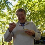
Social was enjoyed by all, including a grape and apple pie, many filling soups, beans and chili! Nice to see Amy, Joan and Bob once again! Welcome goes out to our new hikers Bill, Karen and Sue. Thanks also to our hike scouts, Wendy, Bill C. from Kentucky, and Marty! It is our hope that possibly someday, Springwater Trails could assist the state in maintaining these trails in our Springwater Trail Corridor.
