
Dygert and River Rd
Sorry everyone. I copied this description from last month when we cancelled because of high wind. Then I forgot to remove “Canceled” from the title. Please tell your friends and come join us.
Come celebrate St Patrick’s Day with a hike in our Letchworth Branch series followed by a social at the Letchworth Pines in Portageville. All weekend they will feature Corned Beef and cabbage along with Reuben’s and Shepard’s pie.
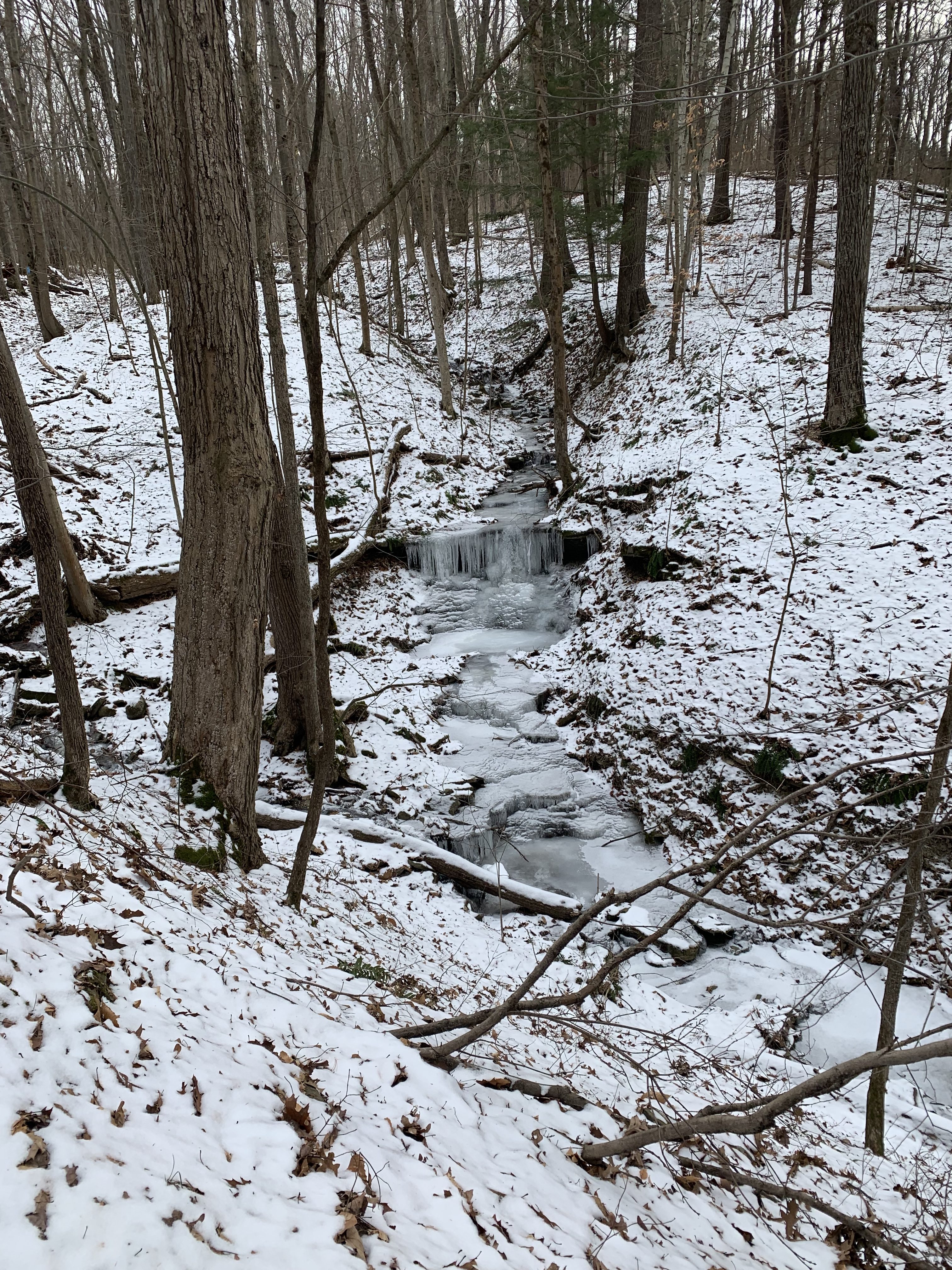
Pleasant weather is predicted for Sunday, with highs of 33° and mostly cloudy. I am hoping we can avoid the water and mud, but we will adjust our hike to match conditions.
All hikes will start at Access Pt H at the corner of Dygert Rd and River Rd on the east side of Letchworth State Park. We are planning three routes for this hike, depending on who comes and the conditions. The Climbers will follow the main trail from Access H to G for a 3.6 mile hike. The Tourists will use park trails (old roads) at the start and end of the hike to reduce the length to about 2.7 miles. Finally, the Naturalists will follow the Park trail, then explore the main trail as time and interest permit, or will do a road walk, returning to the cars they way they went in. This hike would vary between 1 and 2 miles.
 This is a one way hike for the Climbers and Tourists so we will need to stage cars at the end. We are looking for volunteers who can arrive 20 minutes early to position the cars. If you arrive by 1:40, please meet at the intersection of Oakland Rd and River Rd (Access G). We will carpool from there to the trailhead, leaving some Climber’s cars at the end of the hike to transport us back to the start. If you find you are later than 1:40, please go directly to Dygert and River Rd (Access H). See directions below.
Hike details
All hikers will start from Access H. The Climbers will follow the blue blazes for less than a half mile to the main yellow blazes. We will turn right and scramble up a steep, but short, hill. The blazes here are new and easily followed, even if there is still snow cover. In 0.4 miles, we will cross Park trail #9. We left an orange tape on a tree at this intersection for reference. You may notice some orange blazes and some older yellow blazes with the number 9 marking this part trail. We will stay with the newer and brighter yellow blazes. The trail turns slightly going up stream to find a crossing point, then loops down the other side of the stream. Watch for the double blaze indicating a right turn – if you go straight you will go downhill on the park trail #9. In another 1.2 miles, we will cross park trail #12. We also marked this trail with orange tape. The Climbers will continue on the main trail crossing two more streams that will require some bushwhacking to find a way down to a safe crossing. At the junction with the blue access trail, we will turn right and hike out to awaiting cars.
From Access H, about 100 feet down the blue trail, the Naturalists and Tourists will turn right at the orange arrow and follow park trail #9 down a slight grade to the main trail. At the main trail the Tourists will turn right and follow the main trail for 1.4 miles. After crossing the first stream, there is a sharp right turn that you don’t want to miss. If you miss the turn, you will end up at the river on Park trail #9. The turn is easy to see – just watch for the double blazes on the left side of the trail. When you come to Park trail #12 (There is an orange tape on the main trail and a couple more on trail #12), turn right and follow the trail out to River Rd. Turn left on River Rd for a half mile walk to the awaiting cars.
The Naturalists who followed the Tourists from Access H and down park trail #9, should do some exploring when they reach the main trail. If they turn left and follow the main trail, it is fairly level until a steep downhill that connects to the blue access trail. Turn around at the top of the steep downhill or at 3:00 and return the way you came. If there is deep snow, the Naturalists may prefer to hike River Rd.
Following the hike, all hikers are invited to meet at the Letchworth Pines for some food and conversation. If interested, bowling and video games are also available.
Directions:
From Springwater: Take NY-15 north from the light. In 1.5 miles, turn left onto Liberty Pole Rd (CR 38). Continue straight for 8.1 miles to Groveland. Turn left onto NY-63 S and then right (in 1/4 mile) on NY-258. At the tee, turn right onto NY 36. Go past the Correctional Facility and take the second left onto Dutch Street Rd. In 1.3 miles, turn right onto Ridge Rd and follow it to the end. Turn left on River Rd and continue for 4.2 miles to Oakland Rd which branches off at a slight left. If you are earlier that 1:40, please wait here for the car pool. Otherwise, go left onto Oakland Rd, take the first right onto Dygert Rd to get to Access H.
From Wayland: Follow NY-63 to Dansville. In Dansville turn left on Ossian St (NY-36 N) (don’t turn on 36 south!). Stay straight on Ossian St which becomes NY-436. Continue on NY-436 for 15 miles through Nunda. Turn right on Oakland Rd. If you are earlier that 1:40, stay on Oakland Rd to the end at River Rd. Otherwise, take the first left after the stop sign at Short Track on Dygert Rd to get to Access H.
From Rochester, Geneseo and Mt Morris: From Rochester, take I-390 south to Exit 7 (Mt Morris, NY-408). Turn left onto NY-408S. From Geneseo, take NY-63S and turn right onto NY-408S. At Main St in Mt Morris, turn left and then right to stay on NY-408. Stay on NY-408 for 2.6 miles past the Visitor Center Rd. Bear right onto River Rd. In 6.3 miles, Oakland Rd will bear to the left. If you are earlier than 1:40, please wait here for the car pool. Otherwise, go left onto Oakland Rd, take the first right onto Dygert Rd to get to Access H.
Directions to the Letchworth Pines: Take Oakland Rd south to the stop sign at Short Tract. Turn right on Short Tract Rd, then right onto NY-436W. In Portageville, turn right onto Hamilton St, to stay on NY436. NY-436 ends at NY-19A. Turn left and go 0.2 miles. The Letchworth Pines is on the left with a good size parking lot in front.