Adders Tongue appears first from forest floor
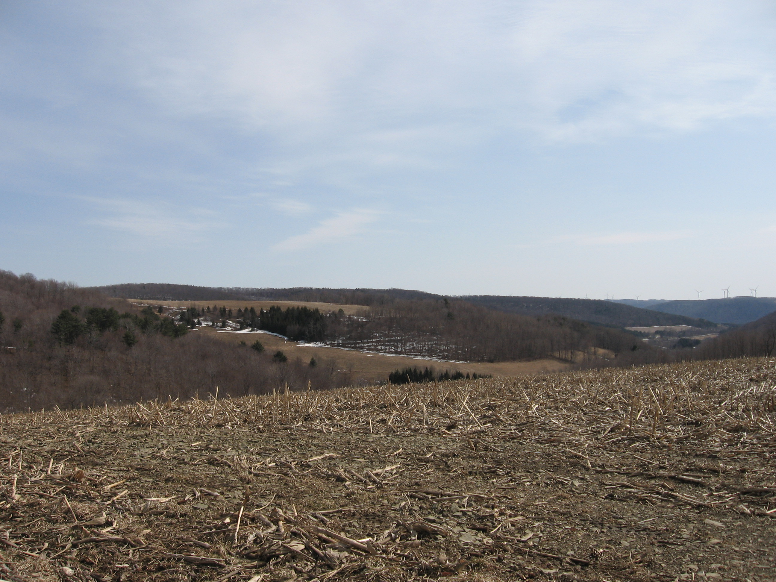
For about 15 years I have been silently observing the early woodland wildflowers that pop out of the forest floor sometime around mid April in the area of the “little finger lakes”. I enjoy photographing the flowers in their growing stages, and identifying at least 5 new plants every year. So far my bank of knowledge includes about 15 plants.Three common woodland flowers you may observe on our hikes are Mayapple, Adders Tongue, and Trillium. All can be seen in their early and mid stage in the next couple of weeks.
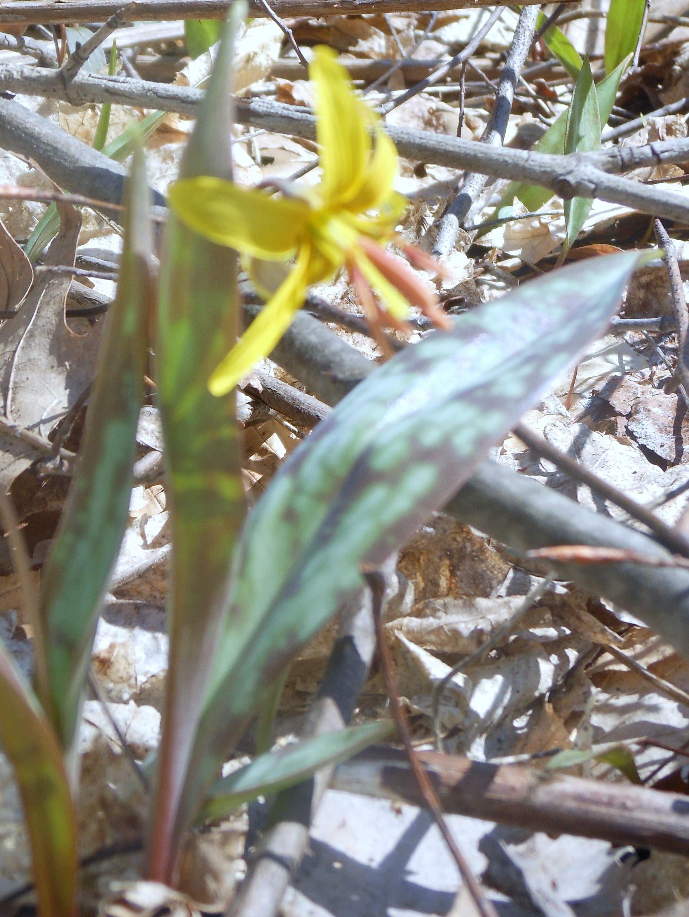
Not all Adders Tongue
have flowers
Adders Tongue, Dog Toothed Violet, Fawn Lily, or Trout Lily leaves first appear peaking out of the forest floor through the dried leaves. The leaves of the trout lily (so called because they appear about the same time as the trout) are a greenish/brown mottled color. Some of the plants later produce a yellow flower which is the early food for the queen bumblebee.

Mayapple in early stage
Mayapples or Mandrakes appear second, curled up tightly, then unfold their leaves to what looks like a little umbrella. They are usually found in clusters, later develop a very large white flower, then a fruit. About mid July the oval fruit (which is located under and inbetween the two leaves) turns a lemon-yellow color and is now ripe for eatting. It should be noted that all parts of the plant are poisonous except the fruit when it is ripe. I believe i contacted the poison once on my arm while laying on the forest floor photographing them.
Trilliums are appearing now in their bud stage, and colors can range from Red(Birthroot), White, Pink, Purple, and Painted. Trilliums are an endangered or threatened species and there are stiff fines associated with collecting any part of the plant on public lands or not receiving permission from private landowners. They seem to like to grow in shady, rich moist woodland soils, along with wild leeks, and maple trees.
More wildflowers to come next week….
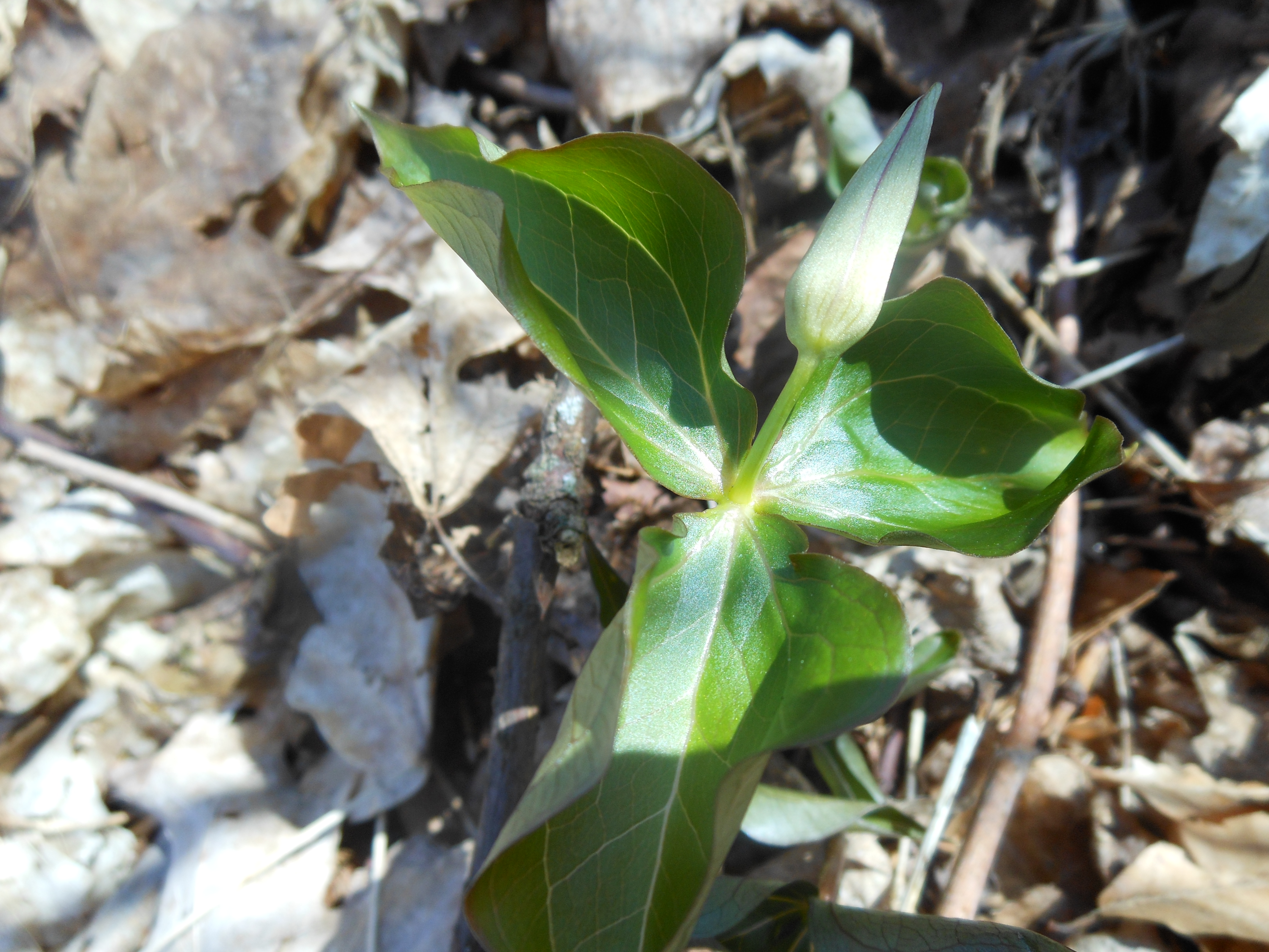
Young budding Trillium
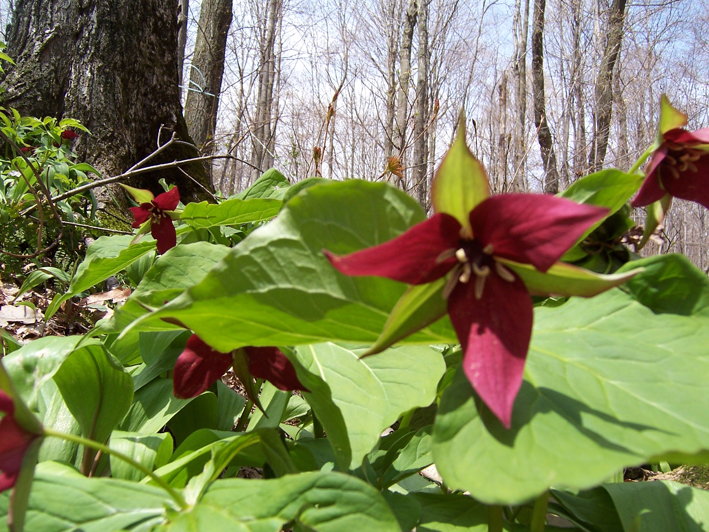
Red Trillium – Birthroot

Mayapple unfolding to umbrella look