Posted on by

Rattlesnake Hill Hikes on July 8, 2018

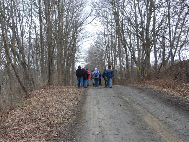
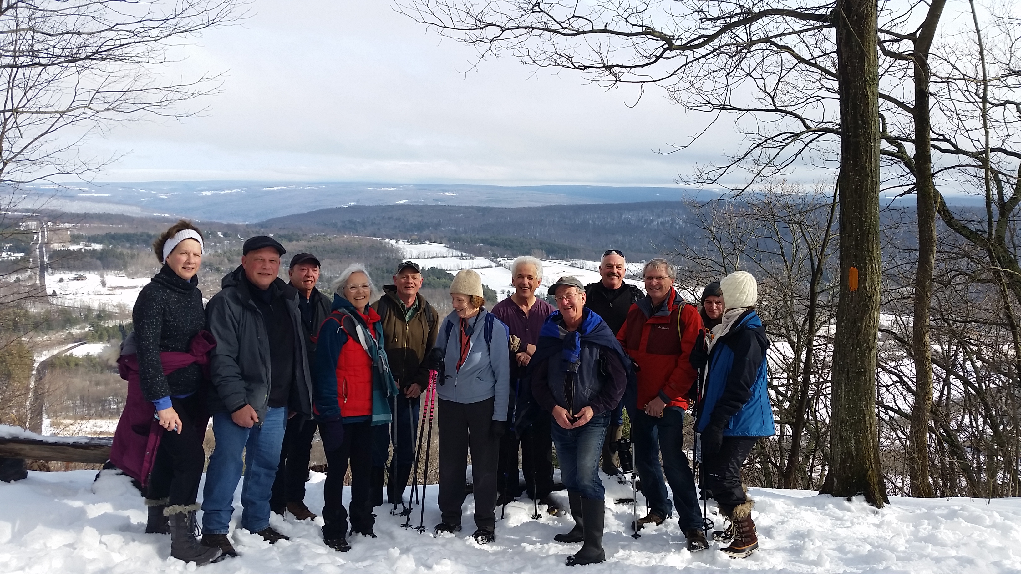
On Sunday, July 8, nine hikers enjoyed a hike off of Ebert Rd in the Rattlesnake Hill Wildlife Management Area. April provided a map of the area. Please click for a larger image.

The flagged sections are no longer flagged, but you should be able to follow the trails anyway, with the exception of the trail marked 16. You can still walk the open woods if you feel comfortable doing so without a trail.

The group that hiked the north loop reported that there are some trees down that make it difficult to follow the trail in spots. Take care when using this route until the downed trees have been cleared.

You can view the GPS track and April’s hiking journal, which contains other Rattlesnake Hill hikes (and others around NY), for more details. It’s a great place to explore, and not heavily used. 
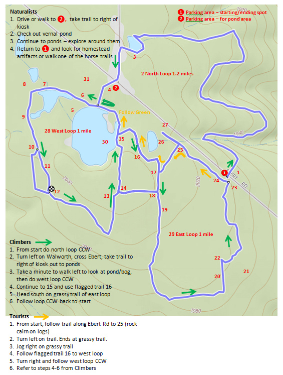
Notes for the Map

See the numbered locations on the Map.

  1. Barnyard to east, homestead artifacts west of trail
  2. Follow trail and markers on north loop
  3. Signs of homestead, old well (was filled in in 2017)
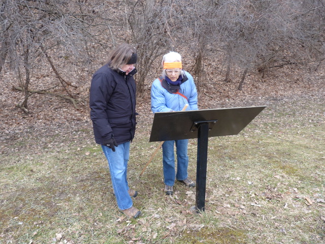
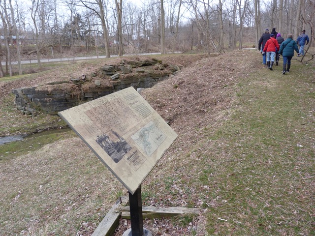
  4. Kiosk – use trail to the right of it
  5. Nice walk along bank
  6. Flag – opening in trees to next pond
  7. Look for small holes, mud – turtle eggs
  8. Trail to a parking area on Ebert
  9. Mud – hug the west side!
  10. Trail splits – note large tree. Keep to the eastern trail (straight)
  11. Hint of a trail to the left at a trail marker – stay to the right
  12. Small rock cairn where trails rejoin
  13. Trail relocated to east at massive muddy section
  14. Three Flags at start/end of trail – optional use, muddy section
  15. Jnctn of flagged route and pond trail **watch for beaver cut stumps
  16. Flagged trail through open woods
  17. NE trail end is flagged
  18. Grassy area with clump of trees
  19. Grassy trail – watch for ruts
  20. Stay to east side of grassy trail – homestead artifacts in this area
  21. Logged area – starting to recover
  22. Flagged route to horse trail – optional. Or stay on grassy trail
  23. Homestead plants in woods and field
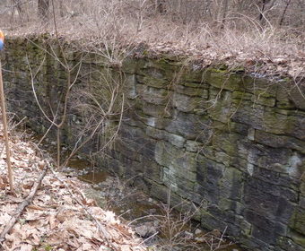
  24. Homestead artifacts
  25. Rock cairn on logs
  26. Massive mud trail along pond – avoid
  27. Trail head (not using for this hike)
  28. West Loop – mostly unmarked
  29. East Loop – grassy trails unmarked, horse trail has red plastic discs
  30. Pond becoming bog, geese families here
  31. Vernal pond


Posted on by

Genesee Valley Greenway

On Sunday, April 8,2018, eleven hikers enjoyed a hike on the Genesee Valley Greenway into Letchworth Park. Although we had blowing snow both when we left home and when we returned home after the hike, the hike itself was snow free, with mostly draw trail, and lots of interesting things to obverse along the route.

There were several placards providing the history of the Genesee Valley Canal and Railroad.

Starting at Oakland Road, there were two trails. We took the canal’s old towpath. The railroad bed was a few hundred feet farther up the hill at this point. And the road is right next to the old canal.

After a few locks, the trail rejoined the railroad bed. Here we all are at the top of the ramp from the canal towpath to the rail bed.

Look at the stone work in this lock. Remember, this was built between 1850 and 1862.

Sometimes it’s the natural world that catches the camera.

Posted on by

Cleveland Hill – Feb 11,2018

On Sunday there were sixteen hikers who enjoyed hiking in the West Hollow valley north of Naples, NY. Three naturalists stayed down in the valley hiking toward Gannett Hill for a close up view of the Beaver Pond. The rest of the hikers carpooled to Clement Rd and hiked up Cleveland Hill on the Bristol Hills Branch orange trail.  We had beautiful views from the two lookouts which have been cleared of trees.  Here is a picture of the Climbers looking east across the southern end of Gannett Hill at Hi Tor on the east side of Canandaigua Lake.

Posted on by

A Mid-Week Hike to Camel’s Hump in Vermont

Once again Bill Cooke and Pam Masterson have invited us to Vermont for some camping and hiking; the dates are 20th – 24th August 2018 – that’s a Monday through Thursday. Bill and Pam will organize hikes on the Tuesday and Wednesday – though everyone is free to hike separately, kayak on the nearby lake, and spend as little and as much time in Vermont as they want to.

The Camel’s Hump hike is fairly hard, and it is suggested that only those who are toughened up by regular hiking should attempt it. Bill is asking for advance sign-up for this hike.

The camp site we have chosen is the Little River State Park. This is a very popular park, and if you plan to come and you haven’t already arranged lodging then you should book something as soon as you can. Please get as close to the balsam lean-to as you can; we already have the Elm and Balsam lean-to’s booked. A lean-to is allowed 2 additional tents.

Please bring as much food and drink as you need. We’ll be arranging some communal meals but everyone will be asked to contribute to the cause.

This is still early days as far as planning goes. I’ll fill out with more information as things develop. It will help us in our planning if we know who is coming; there is a sign-up sheet here – please use it to let us know if you plan to come.