[slideshow id=1]
Our hike from Canadice up to Rob’s trail was a relaxing hike in preparation for the winter to come. Although Canadice Lake shows more evidence of the glaciers, this was not a geological hike like Mendon Ponds. Ralph and I noted that if the Glacier was a mile thick, then the top of the ice would have been nice times higher than Bald Hill. After that small discussion, we reverted to more important topics such as what time the hunting season ended, and how to dry firewood.
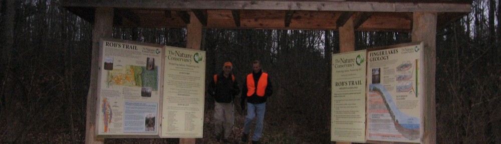
Rob’s Trail at the top of Bald Hill circles an old field. This is a good place to study how a field turns into a forest. Most of the trees and bushes in this area a small. The trail borders the top of the DEC state forest above Canadice. At the bench, we left Rob’s trail and went down a steep trail to the lake. Small streams keep the leaves wet and slippery.
From the trail we got a good view of Canadice Lake through the trees. This is the benefit of hiking after all of the leaves fall.

The hike along the lake was 2.5 miles. After coming down the hill, Pam was tired and decided to leave for home early.
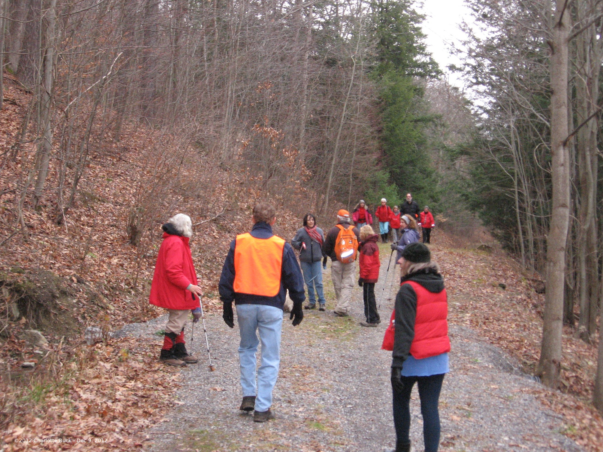
We managed to take a simple hike route and make it complex by having the Climbers start at the south end of the lake, the Naturalists start at the north end, and the Tourists start at the top.It all worked smoothly. The Tourists and Climbers met on the lake side trail, exchanged dogs and checked that drivers had keys for the cars left at the south parking area.
When the climbers reached the top parking area, the tourists were waiting with the cars. We had an opportunity to check on Dena’s deer damage on her car, and to take a group picture before leaving for the social in Hemlock just as the rain started – perfect planning!
And one final picture of our favorite Diva.  Pam honored Linda’s part in the Saturday night performance of Messiah with a beautiful bouquet!
Additional images available in this week’s gallery. The gallery is a new feature this week, so let me know what you think!
.