
Dugway Rd
Canandaigua, NY 14424
USA
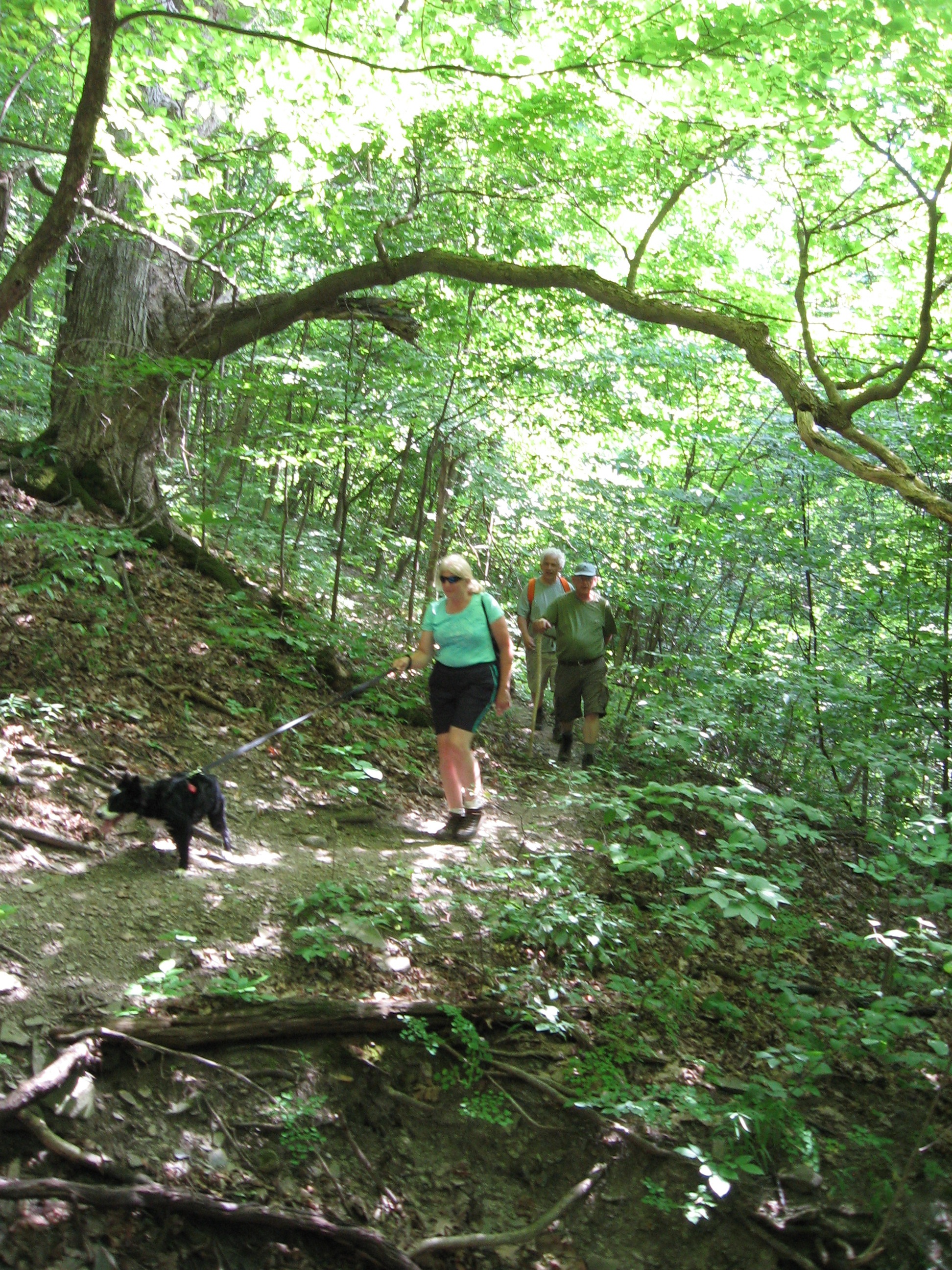 Hike and explore, beginning and ending at Dugway Road, a yellow loop trail that traverses a variety of forest types including shaggy hickory, thorn trees, pines, apple trees and field vegetation. Stid Hill was formerly a grazing area for sheep and other livestock and is now a multi-use area owned by New York State. There are a number of remains of old stone fences from those days of yesteryear. Multi-uses include hiking, horseback riding, mountain biking and hunting. Bow season is currently going on and while there are “designated” hunting areas, which we will not be in, it is recommended that hikers wear bright colors (blaze orange if you’ve got it, otherwise any other bright color will do) and do not wander from their respective group.
 The trails we will be hiking are actually older trails, dating back at least to the 1980’s, which were “hidden” due to the absence of sufficient markers or maintenance. Less than two years ago, there suddenly appeared new markers and paint and a lot of brush and weed elimination. This trail was an unexpected surprise for me – it is lovely with its expansive variety of trees and differs from the more commonly uphill treks in its much more gentle inclines.
We will offer two levels of hiking – Climbers and Tourists/Naturalists. We will all start out together, up the old road, through the stop sign and along a ravine. At the third DEC yellow marker we will make a right into the woods and onto the yellow trail. At the fork in the trail Climbers will bear left; Tourists/Naturalists will continue straight along.
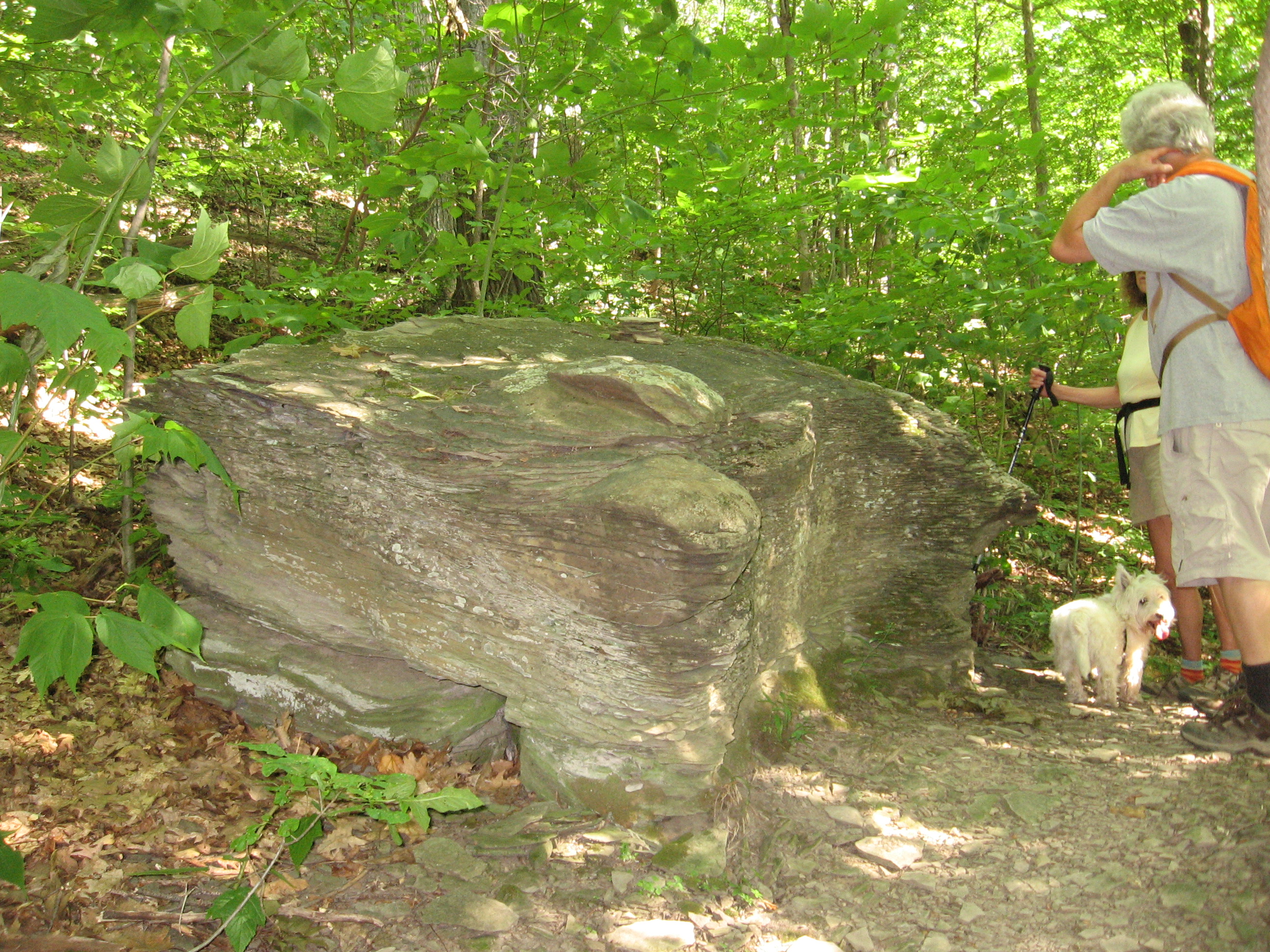
CLIMBERS will cover a little more trail at a faster pace…they will continue up the incline (not a real serious one, as this area typically offers otherwise) then make a right into the denser woods. Arriving at several large shaggy hickory trees that have many yellow paint marks on them (probably used a bucket of paint here) we will turn left, continuing on the portion of the yellow trail that heads south, through a grove of thorn trees, and ends up by a large stream. If time permits, we will explore the stream or rest on the scenic large rock wall bordering the creek. After a bit we will continue on, through a serene pine forest, and turn right onto a short trail that passes by an old pickup truck. Heading downhill, we will turn right onto the return loop through the pine & shaggy hickory forest.
TOURISTS/NATURALISTS, after traveling along the mostly straight trail, with just a few winds and bends, will turn left into the Shaggy Hickory & Pine Forest (yellow DEC marker on tree with obvious trail clearing), then at the end of it will turn left and follow trail back to ravine, stop sign and old road. There will be some soggy spots, in the area shortly before the turn off, due to remnants of an old, now overgrown, pond – but nothing vaguely approaching what we walked through back in April.
AFTER-HIKE SOCIAL will be at Lock, Stock and Barrel – approximately 3.5 miles south of Dugway Road, on Rte 64.
DIRECTIONS:
From the north, (Honeoye and Bloomfield) starting at Route 5 & 20 in Bloomfield, come down Route 64. 3.0 miles south of Rt 20A and 1.4 miles past Bristol Center (and CR 32), turn left on Dugway Road. If you come to a Stid Hill MUA parking area, you’ve come too far south – turn around and try again.
From the south, starting at Bristol Springs for 6.4 miles, come up Route 64 past both Stid Hill parking areas, then turn right on Dugway Road. If you come to Bristol Center you’ve come too far north.
From Springwater, Google Maps recommends heading north to 20A through Honeoye, then south on 64.
From Wayland, the recommendation is to take Rt 21 through Naples to the east end of Dugway Rd (4.5 miles north of the intersection with NY 64). The trail head is 1.2 miles west on Dugway, (Dugway is paved to the Bristol/Canandaigua town line).
Dugway Road, in Bristol, is a dirt road. The trail head is exactly 2.0 miles from the Route 64 junction. It’s easy to miss – it’s just a widening of the road after a sharp left turn. The trail head is on the right of the road and marked with a discreet yellow DEC sign a little too far from the road. Please park carefully. There isn’t much parking space to be had.