Click for weather forecast
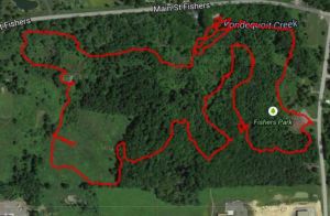
This week we will return to Boughton Park in East Bloomfield for our third hike around the two ponds the are the old Fairport reservoirs. If you haven’t been to Boughton Park, some history will enhance your experience. Please check the description of our November 2013 hike, and the Victor or East Bloomfield website descriptions for the history and current uses of this park.
We will meet at the Stirne Rd parking area. Three hikes are planned.
The Climbers will loop around the north end of the first pond and then will follow the Seneca Trail out of the park to Cherry St. After returning to the park, the climbers will follow the East and West Pond Trails around the park to return to the parking area (about 4.5 miles total). The trail is nice with a narrow bridge over the stream and views of the valley that was not flooded for the reservoir. We will walk along the edge of a plowed field, with several vistas to see the Apple Farm to the north on SR 444.
 The Tourists will loop down the West Pond Trail and up the East Pond trail for a complete loop of the park in the opposite direction (about 3.0 miles). The trails go through spruce forest with lots of small valleys so it is up and down. There are some boardwalks across some wetlands and across the streams that were dammed to make the reservoirs. We will cross the two dams, and have views of the ponds, with lots of geese lately.
And the Naturalists (and any skiers if there is snow) will follow the climbers north of the first pond but then will turn south to follow the driveway to the Boughton Rd parking area. From there, skiers will explore additional trails depending on conditions, and the tourists will return back north on the driveway (thereby avoiding most hills) or will continue around the pond on West Pond Trail, enjoying the small hills in that area for a total hike of 2.5 miles.
 Following the hike, Douglas has arranged for our social at the Marian and Max Farash Center for Observational Astronomy. We will have lots of room, and can microwave anything that needs heating, and there is a restroom. Douglas can show members one of the large telescopes, and if the weather cooperates, we can view some planets, and possibly the moon, which rises just before 5pm, but will clear the trees closer to 6pm. Please bring a dish to pass and your own beverage.
Directions to the Observatory: From the parking area, turn left on Stirnie Rd for 0.8 mi. Turn right onto Boughton Rd and an immediate slight right onto Co Rd 39. After 1.4 mi, turn right onto NY-64 N. Take the 1st left (after 0.6 mi) onto Co Rd 14. Cross CR 39 and the observatory is on the left almost directly across street from the Ionia Fire Station, just a little to the west.
DIRECTIONS
Since we only have ten parking permits at the park, some hikers may want to car pool. Recommended locations to meet for unsupervised carpools are the Springwater Town Hall and Sandy Bottom Park at the north end of Honeoye Lake.
Springwater Town Hall: Please be at the Springwater Town Hall at 12:50PM to carpool to Boughton Park. Click here for directions to the town hall. Remember, this is an unsupervised carpool and drivers will be leaving promptly at 1:00PM. If you are late, you will need to drive alone.
Sandy Bottom: If Honeoye is more convenient, please meet at Sandy Bottom at 1:05PM to carpool. Do not go to both locations, since there isn’t enough time in these schedules. Drivers should leave promptly at 1:15PM.
Directions to the Hike
From Honeoye and the Sandy Bottom Park – Carpool location:
– From Sandy Bottom, head north on West Lake Rd.
– Take Rt 20A east to jct with Rt 64
– Turn left onto Rt 64 and travel to Rts 5&20
– Turn left onto Rts 5&20 and travel 2.5 miles.
– Turn right onto South Ave
– Turn left onto Main St.
– Take the first right (immediate) onto Michigan St and continue onto CR 39 for 2.4 miles
– Turn right onto Boughton Rd (CR 39 will continue to the left)
– Take the first left onto Stirnie Rd. The parking area is 0.8 miles ahead on the right. (past a curve to the right, and a curve to the left)
From Springwater and the Town Hall – Carpool location:
– Take Rt 15A north from the flashing light in Springwater.
– Turn right onto Rt 20A toward Honeoye. After 4.0 miles
– Turn left on CR 37 go north to West Bloomfield.
– Turn right onto Rts 5&20 east at the West Bloomfield Congregational Church.
– Turn left onto Rt 64, and an immediate right onto Main St.
– Take the 2nd left onto Michigan St. and continue onto CR 39 for 2.4 miles (you will pass Church St on the right).
– Turn right onto Boughton Rd (CR 39 will continue to the left)
– Take the first left onto Stirnie Rd. (It’s a VERY VERY short travel on Boughton Rd) The parking area is 0.8 miles ahead on the right. (past a curve to the right, and a curve to the left)
From Rochester area:
– Take I490 East to the Victor Exit 29.
– Merge onto Rt 96 S into Victor.
– Turn right onto Maple Ave (Rt 444) (follow the sign to Bristol Mt).
– At the flashing light turn right onto Boughton Hill Rd (CR 41) (At Ganondagan)
A Public Service Announcement There are two roads, Boughton Hill Road and Boughton Road. These are different roads with Boughton Road south of the park. We are not parking in that parking lot, thus this routing uses Boughton Hill Rd which is north of, but not touching, the park.
– Take the 1st left onto Murray Rd.
– At the T, turn right onto Town Line Rd.
– Take the 1st left onto Stirnie Rd. The parking is on the left after 0.4 miles.

 On Sunday, January 4, we returned to Boughton Park in East Bloomfield to take advantage of a pleasantly warm day to start our winter season of hikes.
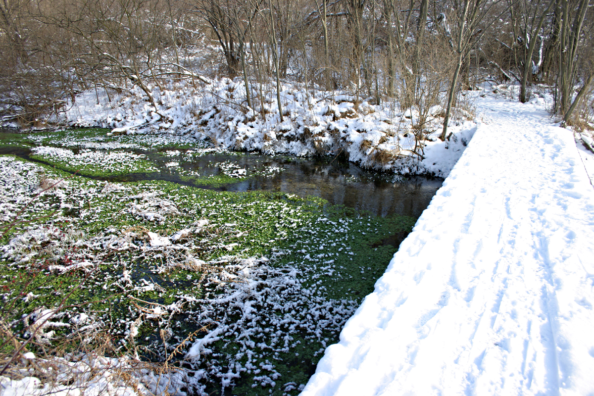
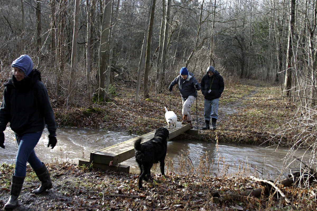 As we returned to the park, we met John who had arrived late and followed a different route to get ahead of us. We continued around the east pond, and this trail had several long muddy sections, so this portion took a little longer than expected, but the boardwalk across the wetlands was nice, and my dog Newton went for a swim in the creek after we crossed the bridge.
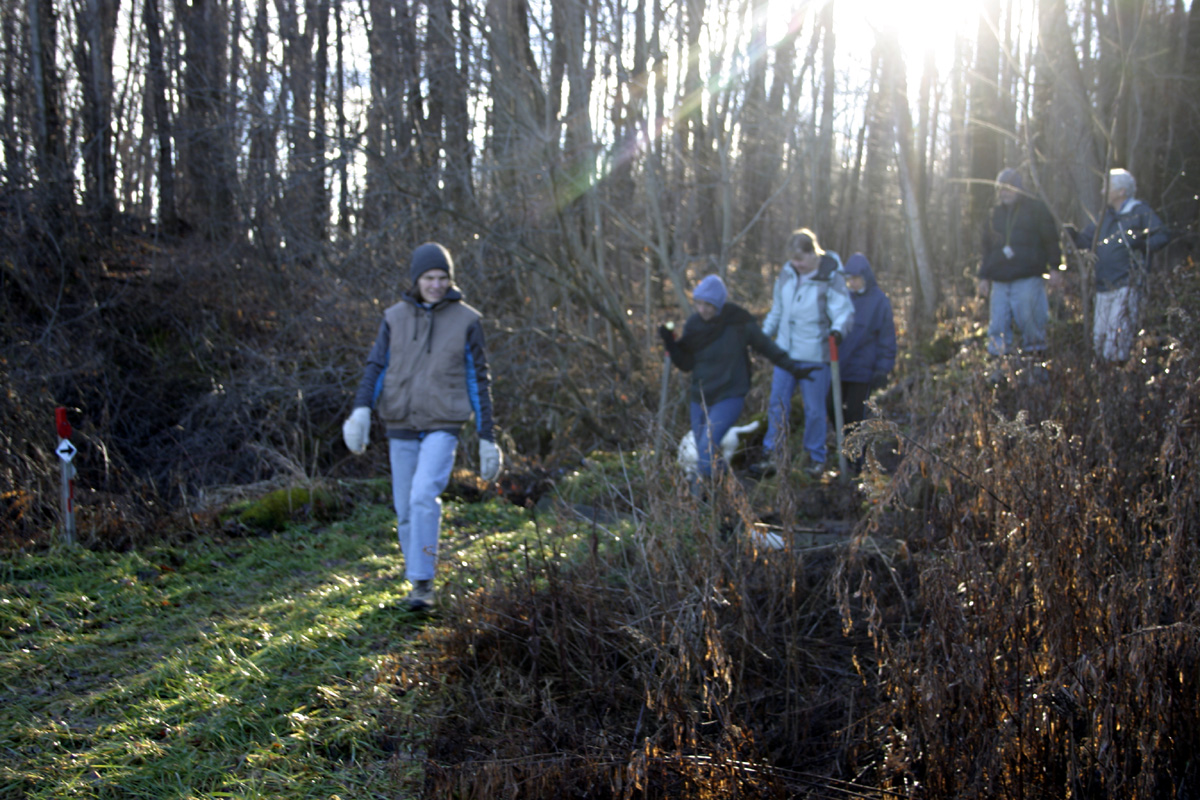 Due to the slow progress, our group returned to the parking area by way of the gravel road between the ponds. We arrived back at the parking area a little late, but everyone was there.
 I am a member of the Rochester Academy of Science, so we went to our observatory in Ionia for our social, with a large classroom, and lots of tables and chairs. I explained a little history of the site, and the group, and after eating, some of us went out to one of the roll-of buildings to see the 16-inch Newtonian reflecting telescope. Due to the wind, we could not open the building to do any observing, I just showed how we can roll the roof back to expose the telescope. Hopefully we can plan a visit in better weather, to include some observing through a telescope, and meet some of the other RAS members.