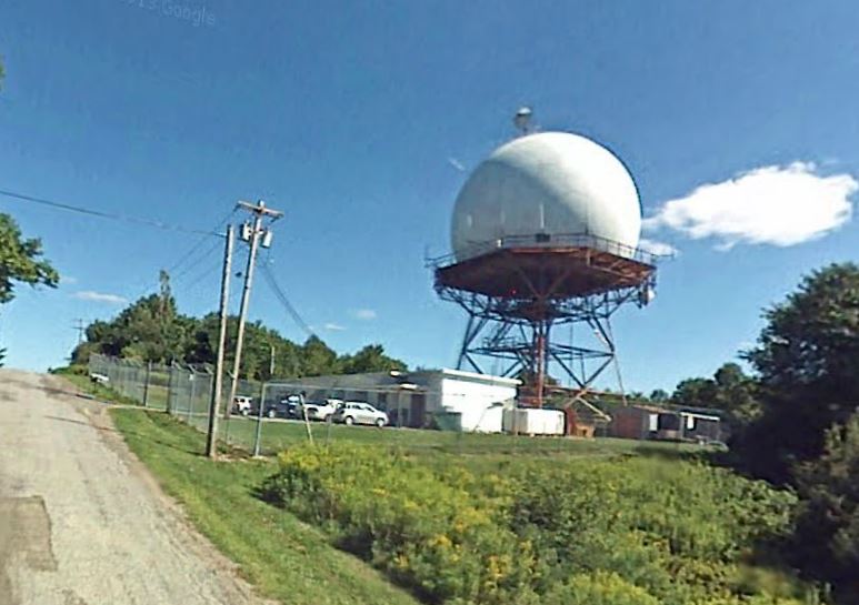
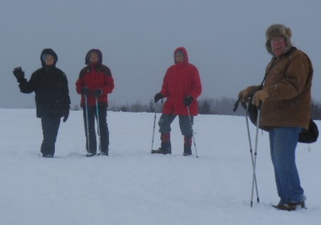
 The northwestern area of the Town of Springwater has high elevations of 1800 to 2000 feet above sea level and a beautiful view of Springwater’s valley and the eastern hills that we have recently been hiking. The area on Story Road (last year the name was changed from Sparta Springwater Town Line Road for historical as well as sign making cost effective reasons) is also affectionately known as the road to the “RadarTower”. Besides having the chance to hike to the tower from All Western Evergreen Christmas Tree Farm, those hikers that stay for the social will have the opportunity to meet and visit with Harry Reynolds who worked at the radar tower most of his working life. Harry and his wife Carol, who is an author, will bring their historical notebook account and other books for us to peruse after the hike at 4 PM, the time for the social. They will join us for the hot Soup / Dish-to-pass Supper at the house. Please bring a dish to pass and your own beverage or make a small ($5) contribution to the social fund.
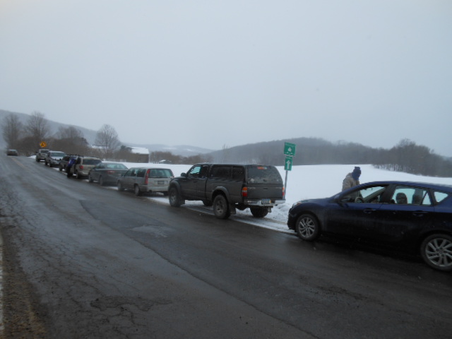
 At 1:45 PM everyone will meet at All Western Evergreen Farmhouse at 6840 Liberty Pole Road (County Road 38). The naturalists and the cross country skiers will carpool to the Swartz Road entrance to the farm. Those not able to stay for the social can go directly to the Swartz Road entrance to the farm so as not to be blocked in at the parking area at the house, and then carpool with Katherine to the house to join Tourists or Climbers. We cannot park on or access the west entrance to the farm from vehicles because the Story Road is blocked off with high piles of snow at both the Swartz Road Crossing and the Liberty Pole Road Crossing, as this portion of Story Road is a seasonal road and not plowed at this time of year when there is much snow.
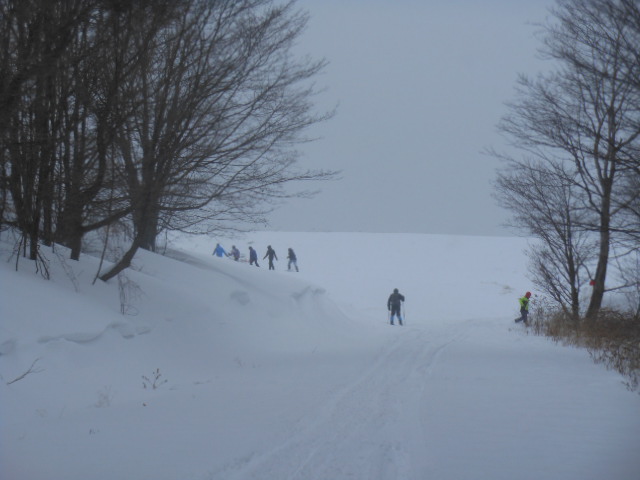
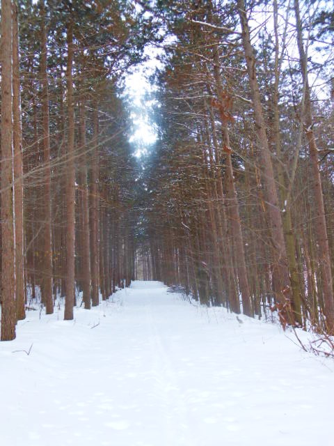
 The Naturalists will hike west up Swartz Road to Story Road, south along Story Road to the radar tower and back north along Story Road to the Story Road 25 acre lot entrance to the farm, taking the path east through the woods of the 25 acre lot, continuing east through the Cathedral pines, down north through the gully lot and east skirting the Christmas tree fence line and come back down to the house (3 miles).
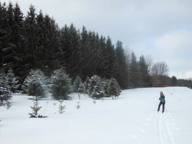
 The cross country skiers will enjoy the flat hilly terrain from Swartz Road along the Upper farm road to the 35 foot Douglas-fir lot to the Cathedral pines, through the pines up and back (west and east) to the Douglas-fir, then east to the entrance to the woods, through the woods going north, along the east side of the fence line around the Fraser and Concolor fir lots, next to the sub-alpine fir, Concolor fir, and to the north end where the Nordmann fir are, then back south retracing area to the cars on Swartz Road through middle lots of Fraser fir.
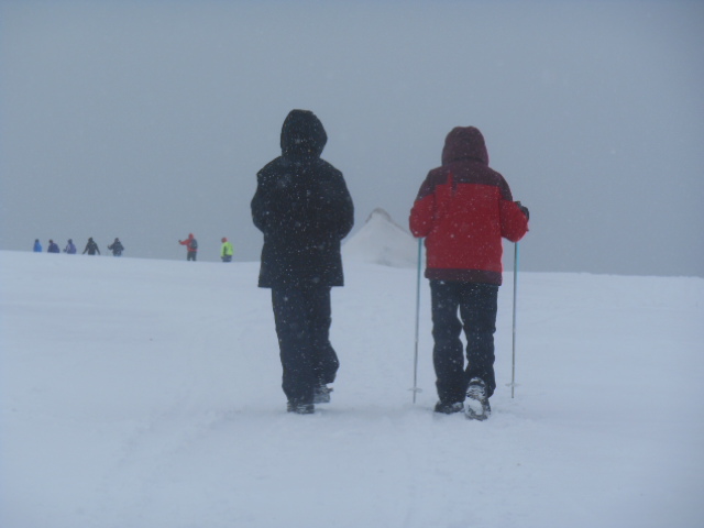
The Tourists and Climbers not cross country skiing will hike (or snowshoe) up through the woods behind the house, skirt the tillable land to the south then west along the fence line of UVW lots, hike the gully lot south to the Cathedral Pines, turn west and hike through the pines and 25 acre lot forest to Story road, and then hike south to the radar tower along Story Road and back to Swartz Road, east on Swartz Road and come in the Swartz Road entrance to the farm on the upper road and hike north along the pond, through the hard woods to the UVW fence line, then east back to the house (4 miles).
The Tourists not wanting to hike (or snowshoe) to the radar tower may break off from the Climbers after going west up through the woods behind the house and head up the north field road to the 35 foot Concolor fir plantation (Scott Hill triangle), then to Story Road to the west, turn south up Story Road (observing the beautiful view of East Hills) to the 25 acre lot and turn (left) east through the forest and Cathedral pines, the dip through the gully lot to the north, take a right (east) and skirt the tillable land on the south side of the fenced UVW plantations, then east through X & Y Lots along the top of the new plantations in Z lot and take the path behind the houses back through the hardwoods zigzagging as far north to the house with the red door, then back south to the nursery beds behind the house (about 3 miles).
Directions from Route 15 going north and south between Webster’s Crossing and Springwater: Go west on County Road 38 to 6840 Liberty Pole Road 1 mile and you will see the farm sign on the high side of the road.