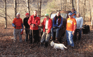
The social following the Mendon Ponds hike (Dec 2, 2012) will be at Pam’s son’s home. We will park at the house and then car pool to the park.
Directions:
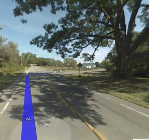
From Springwater: Head north on Rt 15A for 23.8 miles (measured from the Town Hall). This goes through Hemlock and Lima.  Don’t turn to go to Honeoye Falls. Instead, bear left to stay on Rt 15A at the fork that goes to Main St, Honeoye Falls. Two miles past the fork, turn right onto Plains Rd. 1.3 miles down Plains Rd, turn right onto Junction Rd at the second cross walk for the Lehigh Valley Trail. Number 46 is on the left.
From Honeoye: Take Rt 20A West to Rt 15A N at Hemlock. Then follow the directions from Springwater.
From Geneseo: Take I390 North toward Rochester. Take exit 11 for NY Rt 251 East (turn right at the end of the exit ramp). Stay on Rt 251 through Rush for 4.4 miles. Rt 251 will bear left at the intersection with Junction Rd and Stoney Lonesome Rd. Take the sharp right onto Junction Rd. Number 46 will be on the right.
From Fairport: Take NY Rt 250 South. Turn right (west) on Ayrault Rd. Turn right on Rt 31 (still west). Go left on Mitchel Rd, then right (west) on Jefferson Rd. Turn south on Clover Rd, Rt 65. At the traffic circle, take the first right onto NY Rt 251 West. When Rt 251 turns right, stay straight onto Junction Rd. Number 46 will be on the right.
From Victor: Follow NY Rt 251 West from Rt 96. Stay on Rt 251 through Mendon and bear left on 251 at Mendon Center Rd. Continue on 251 west at the traffic circle. When Rt 251 turns right, stay straight onto Junction Rd. Number 46 will be on the right.


